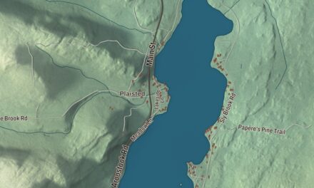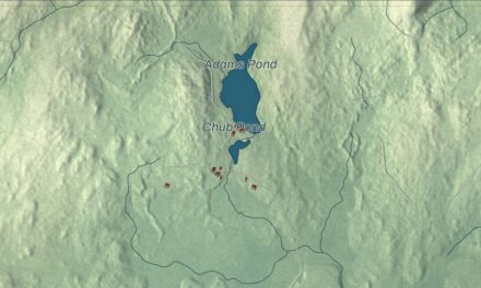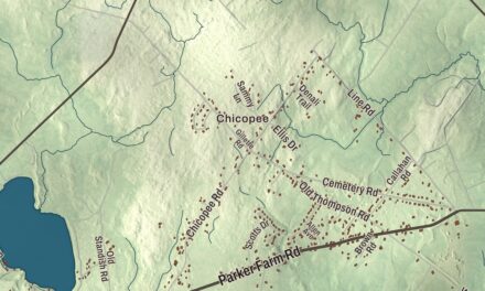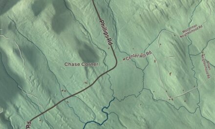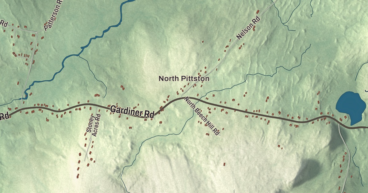
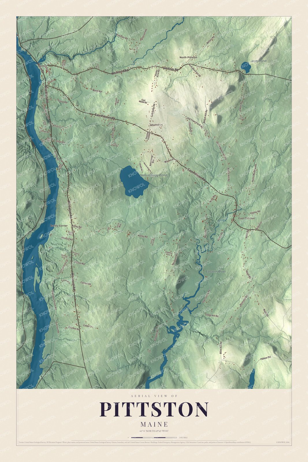
If you grew up in Pittston, have family out on the Wiscasset Road, or spend summers by Nehumkeag Pond, this is the town the way it looks from above. It’s a modern aerial view of Pittston in Kennebec County, Maine, made from current road, building and elevation data with the look of an old atlas. The hills are shaded from elevation data, and 1,941 buildings are drawn along the roads where they actually sit. From across the room it’s a sweep of countryside. Up close, you can find your own road.
Arnold Road, Nehumkeag Pond and East Pittston
Start at North Pittston near the top of the sheet. Whitefield Road runs east from there past Joys Pond, and Gardiner Road heads southwest down to the Wiscasset Road. The Wiscasset Road runs down the left side past Bailey Corner, with Water Street and Arnold Road close by on that side, and East Pittston Road cuts across the town from the upper left to the bottom. Kelley Road crosses the middle between Bailey Corner and East Pittston, and Nehumkeag Pond sits between them. Down in the bottom right, Blinn Hill Road and Palmer Road run near the Eastern River. Many of the roads are named, and each small block is a building, so zoom in on the preview and look for yours.
See it on a wall
The Pittston map as a framed print. Swipe for more.


Where Benedict Arnold’s boats were waiting in 1775
In September 1775, Colonel Benedict Arnold led more than 1,000 soldiers up the Kennebec River to attack Quebec City, and the expedition launched from Pittston. The men came from Massachusetts on eleven ships and landed at the home of Reuben Colburn, who ran a boatyard on the Kennebec and had helped come up with the idea of attacking Quebec through the Maine wilderness.
When Arnold got there, Colburn had 200 wooden bateaux waiting. His crew built them within two weeks of General Washington’s request. There wasn’t enough seasoned lumber for a job that size, so they used green wood, which was more likely to fail in the water. Twenty of the builders, Colburn among them, went along to Canada to carry supplies and fix the boats on the way. Arnold used the house as his headquarters, and he and Aaron Burr both slept there.
The Colburn House was built in 1765 and stayed in the family until 1953. It’s a state historic site now, though it’s closed for restoration. It stands off Route 27 on Arnold Road, on the east bank of the Kennebec. The Maine Historic Preservation Commission has more on the house. Arnold Road is printed on the left side of the map, below Water Street.
A gift for anyone with roots in North Pittston or East Pittston
Created by KNOWOL in 2026, this map of Pittston looks right in a den, a farmhouse kitchen or a camp by the pond. The title panel reads “Pittston, Maine,” with the coordinates 44°11′ North, 69°42′ West.
It’s a good gift for someone who grew up here and moved away, or for a family that’s been on the same road for generations. Zoom in on the preview and find the house. See sizes and frames for the Pittston map.