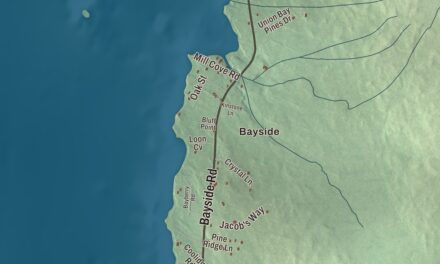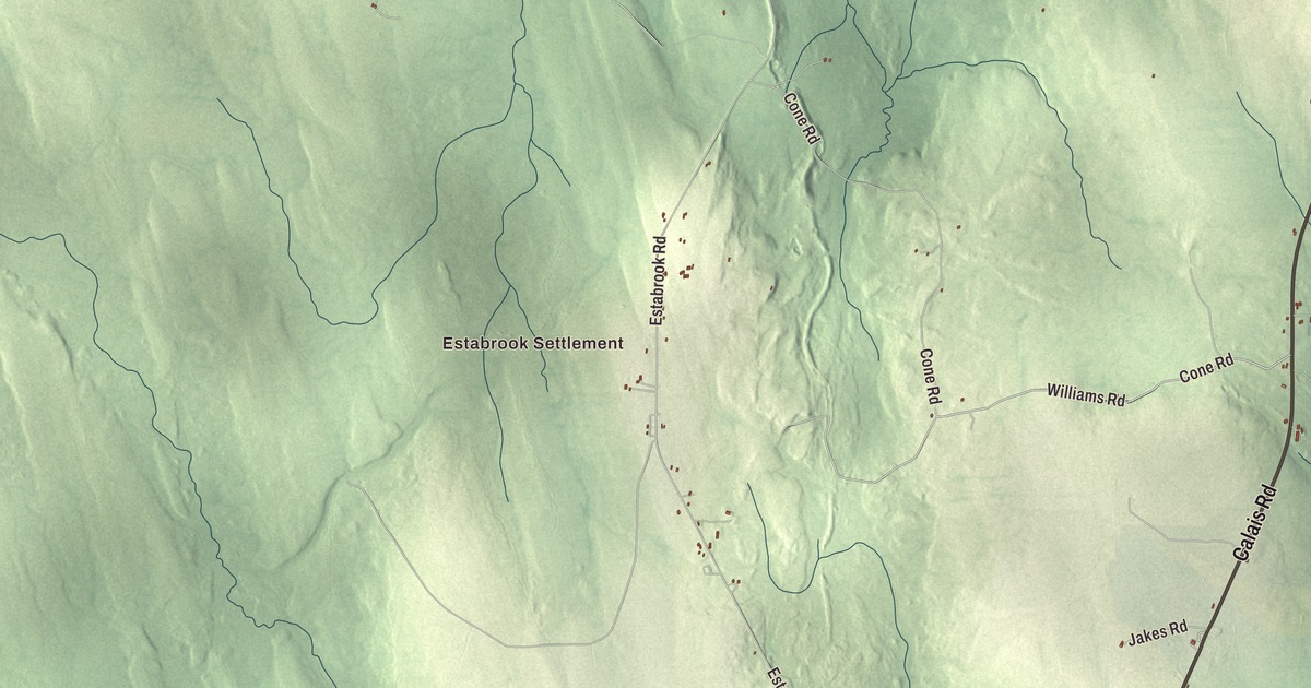
Amity sits on the Canadian border in Aroostook County. This map prints its roads by name, Calais Road, Williams Road, Estabrook Road, Cone Road, Monument Road and Tracy Road, along with North Amity, South Amity and Estabrook Settlement. Click here to purchase a print of this map for your wall.
Amity is in Aroostook County, and it had 253 people at the 2020 census.
KNOWOL made this map in 2026 from public survey data and gave it the look of an old atlas. The shaded terrain comes from United States Geological Survey elevation data, and the roads and the town line come from the Census Bureau, which counts 41.72 square miles here, all of it land. The town is bordered by the township of Cary to the north, Orient to the south and the unorganized territory of South Aroostook to the west, and on the east by the New Brunswick parishes of North Lake and Richmond.
A peaceful name
Amity was first settled in 1826 and incorporated on March 19, 1836, from the township known as T10 R1 WELS. According to some, its name comes from the 1794 Treaty of Amity, Commerce, and Navigation between England and the United States, which aimed to end the boundary dispute between Maine and New Brunswick. The border stayed close to the town’s story. After the Aroostook War, which the town page says left Amity to Maine after its ownership had been disputed, surveyors set a monument in Monument Brook on the international line. The town page dates it to 1839, and says it both honored the end of the war and identified Monument Brook as the northernmost source of the Chiputneticook Lakes, the chain along the Maine and New Brunswick boundary that heads the St. Croix River. An earlier marker there had been a wooden post with the location carved into it. The monument still stands, out in a swamp with no road to it, and the only way there is on foot. Monument Road, printed on the map, shares the brook’s name.
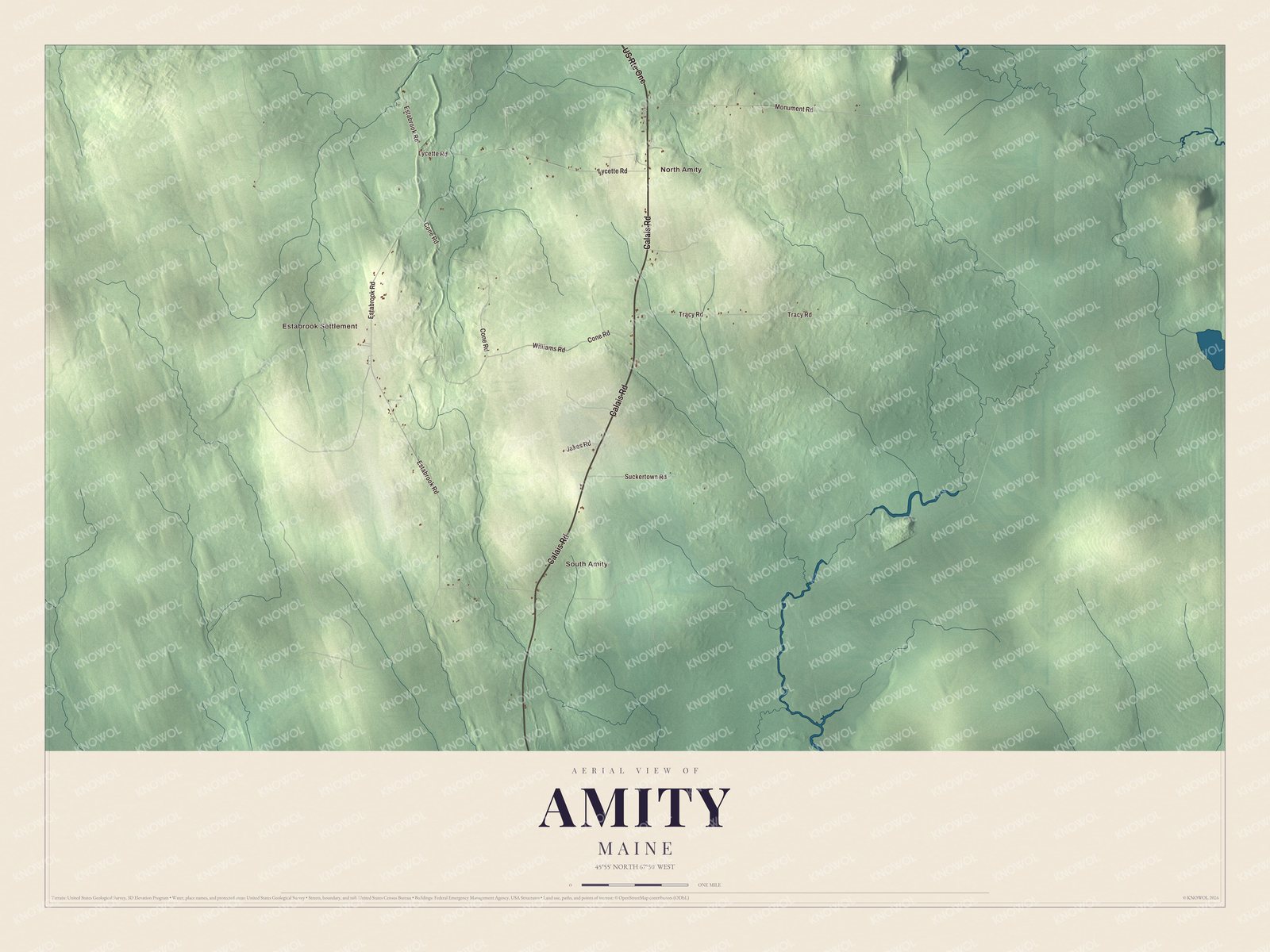
Click to explore a larger preview. The digital watermark does not appear on printed maps.
Names on this map
These names are printed on this map.
Places: Estabrook Settlement, North Amity and South Amity.
Streets and roads: Calais Road, US Route One, Williams Road, Estabrook Road, Cone Road, Monument Road, Tracy Road, Lycette Road, Suckertown Road and Jakes Road.
See it on a wall
The Amity map as a framed print. Swipe for more.


The Reed School
North Amity is printed on the map. On U.S. Route 1 there, just south of Lycette Road, stands the Reed School, Amity’s one building on the National Register of Historic Places. It’s a one-room district schoolhouse, built or much altered in the 1870s, and its page counts it among Maine’s dwindling number of them. A Reed School had been running since at least 1837, and the town bought this lot in 1858 from Robert Ryan, though the land had long belonged to the Reed family. Old photographs show a bell on its roof. The town page says it was more than a school: it was the center of the community, with a singing school, debates and plays. It taught Amity’s children until the schools were consolidated in 1971, and since then it has served as a polling place and as a home for the town offices.
Estabrook Settlement and Estabrook Road are printed too. Samantha Smith, the girl from Houlton who wrote to the Soviet leader Yuri Andropov in 1982, received a personal reply with an invitation to visit, and became known as America’s Youngest Ambassador, is buried with her father at Estabrook Cemetery in Amity.
This Amity map is a good addition to an office, library or den, and it can teach children the geography and history of a border town with a peaceful name. It’s made for anyone who calls Amity home, from North Amity to South Amity. Zoom in on the preview above to explore the details, then click here to get your copy of the Amity, Maine map.

Sources