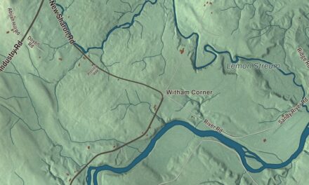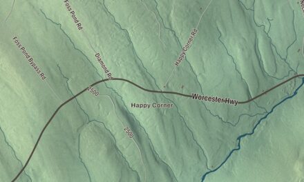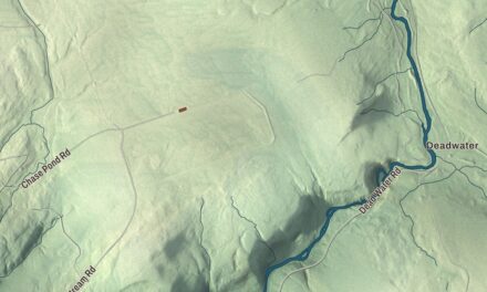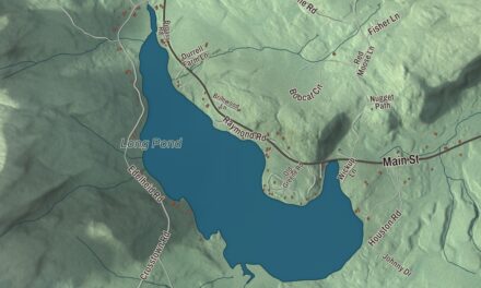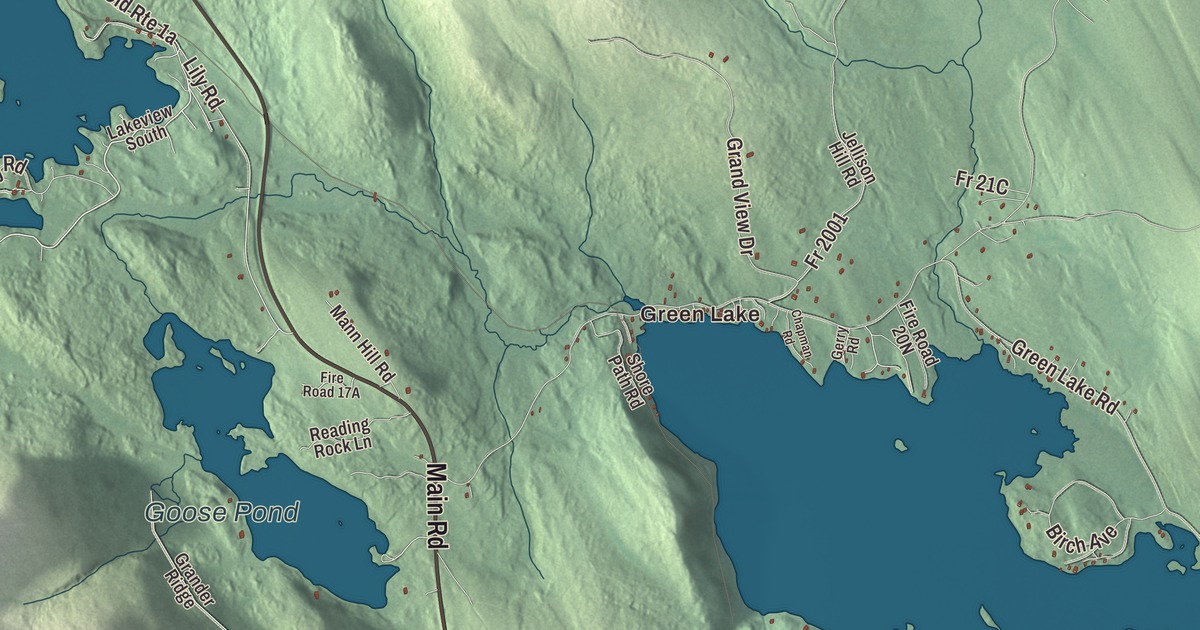
Phillips Lake and Lucerne-in-Maine, near the middle of town, are the first names to find on this map of Dedham, Maine, and Green Lake and Main Road are on the sheet too. Lower Long Pond Road, Lakeview Avenue, South Road, Mill Road and Poplar Road fill in the town, and Mountainy Pond, Goose Pond and Hatcase Pond are on the water. Click here to purchase a print of this map for your wall.
Dedham is a town in Hancock County, with 1,648 people at the 2020 census.
KNOWOL made this map in 2026 from public survey data and gave it the look of an old atlas. The Census Bureau measures Dedham at 44.38 square miles, 5.05 of them water, and its files give the roads and the town line. United States Geological Survey elevation data shades the land, which has a listed elevation of 597 feet.
Nathan Phillips and his lake
Dedham was incorporated as a town on February 7, 1837, and it’s named for Dedham, Massachusetts. The first settler was Nathan Phillips, who came in 1810, and Phillips Lake is named for him. That same year he opened a place for travelers to stay near the site of today’s Lucerne Inn, and under his son it grew into the “Lake House.” The town’s three villages are Dedham, Green Lake and Lucerne-in-Maine.
Lucerne-in-Maine
In 1925 a New York investor, Harold M. Saddlemire, bought the Lake House and all the land around Phillips Lake and set out to build a resort for the wealthy called Lucerne-in-Maine. The old house was moved a short way and remade in the Colonial Revival style to serve as the clubhouse. Roads and house lots were laid out, a golf club was started, now the Lucerne-in-Maine Golf Club, and a log lodge went up for members only. A good part of the state’s political and business leadership backed the plan, but mismanaged money and the Great Depression brought it down.
The Lucerne Inn, at 2517 Main Road, which is U.S. Route 1A, roughly midway between Bangor and Ellsworth, has a main house built in 1818 and has served travelers for more than 200 years; its dining room looks out over the lake, and it was listed on the National Register of Historic Places in 1982. The village corporation of Lucerne-in-Maine was set up in 1927 to give part-time residents a voice in how the village was run. It lies in the resort area along Phillips Lake near the middle of town, with limited taxing and regulatory powers of its own. The village weighed dissolving in 2017, but it was still going as of January 2025.
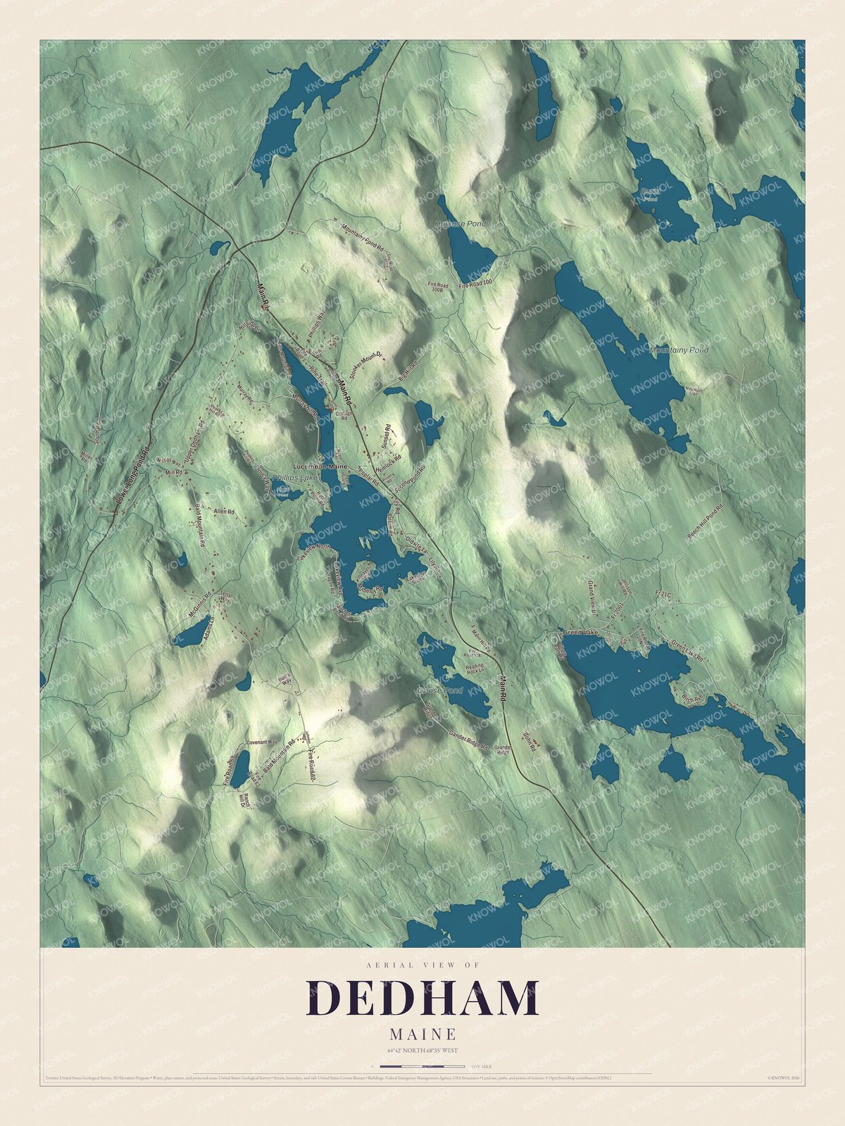
Click to explore a larger preview. The digital watermark does not appear on printed maps.
See it on a wall
The Dedham map as a framed print. Swipe for more.


Lakes and roads
Lucerne-in-Maine is printed on the map, and so is Green Lake. Main Road, Lower Long Pond Road, Lakeview Avenue, South Road, Mill Road and Poplar Road are printed too. Phillips Lake is labeled on the map, along with Mountainy Pond, Goose Pond and Hatcase Pond.
This Dedham map makes a fine addition to an office, library or den, and it can help teach children the geography and history of the area. It’s made for everyone who calls Dedham home, from Lucerne-in-Maine to the shore of Phillips Lake, as it looks today. Zoom in on the preview above to explore the details, then click here to get your copy of the Dedham, Maine map.

Sources