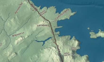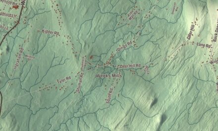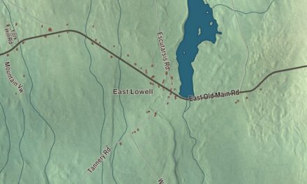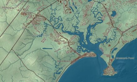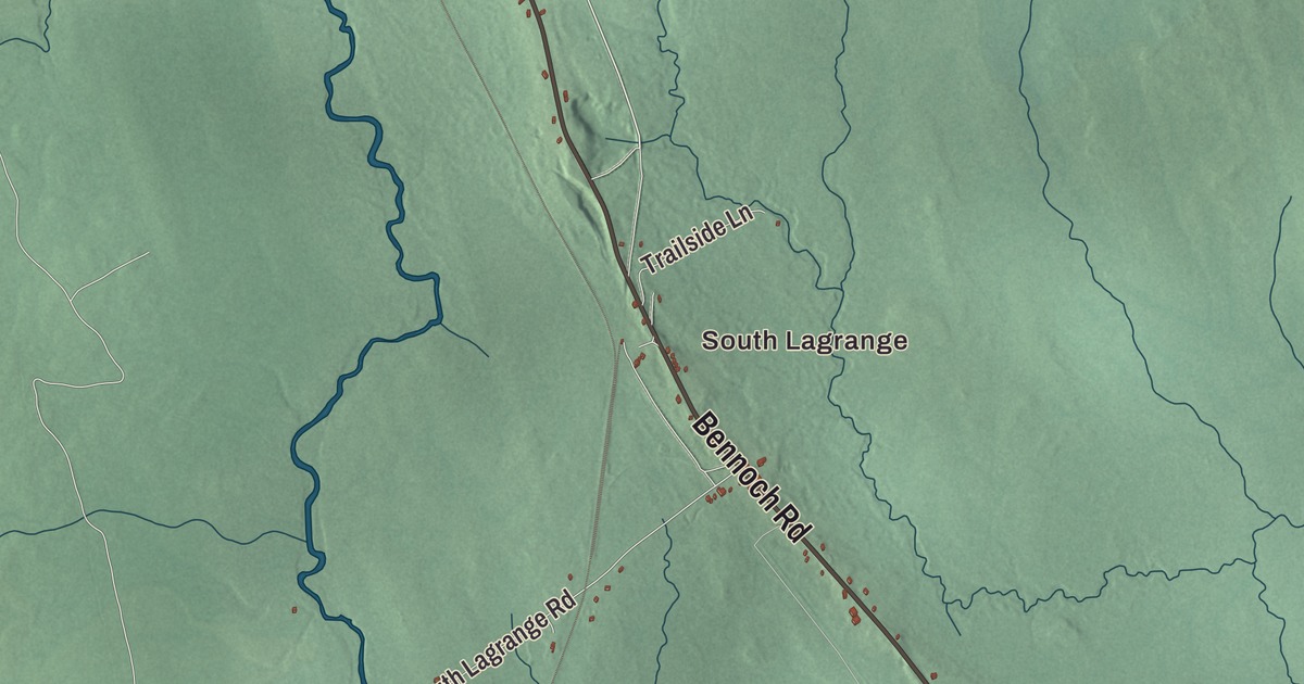
South Lagrange, Mill Street and Dead Stream are names to pick out in this aerial view. Look for Medford Road and Bennoch Road, then explore the rest of the Lagrange map. Click here to purchase a print of this map for your wall.
Lagrange is a town in Penobscot County.
KNOWOL made this map in 2026 from public survey records, United States Geological Survey elevation data and Census Bureau files. Its atlas layout brings together Lagrange’s roads, buildings, ponds and waterways, and terrain, the town boundary and the pattern of buildings.
A Medal of Honor recipient
Lagrange was incorporated in 1832. The town is also written as LaGrange.
Abiather J. Knowles was from Lagrange and served in the Civil War. He received the Medal of Honor in 1894 for his actions at Bull Run in Virginia in 1861. He was later buried in his Maine hometown.
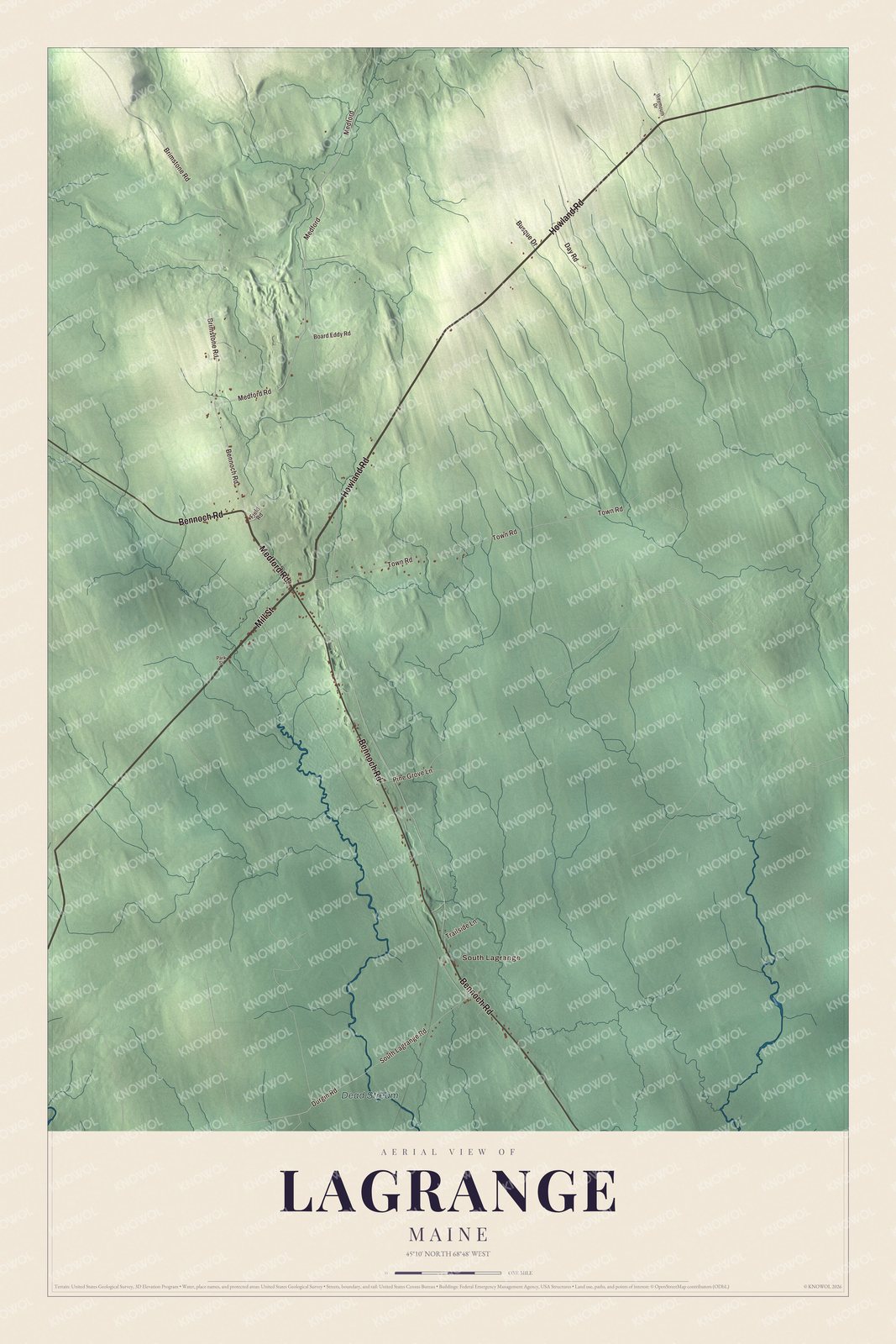
Click to explore a larger preview. The digital watermark does not appear on printed maps.
See it on a wall
The Lagrange map as a framed print. Swipe for more.


Explore the Lagrange map
South Lagrange and Dead Stream are printed names on the artwork. Medford Road, Howland Road and Mill Street are roads to find in the preview.
Bennoch Road, Brimstone Road and Town Road are printed too. Compare their routes with the buildings and terrain, then enlarge the map to examine a familiar street.
This map shows Lagrange as it looks today, made for people who call Lagrange home. Hang it in your office, library, or den, or use it to teach children the geography and history of the area. Zoom in on the preview above to explore the details, then click here to get your copy of the Lagrange, Maine map.

Sources