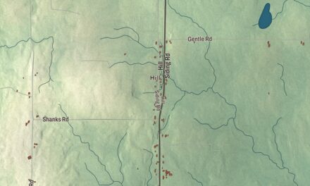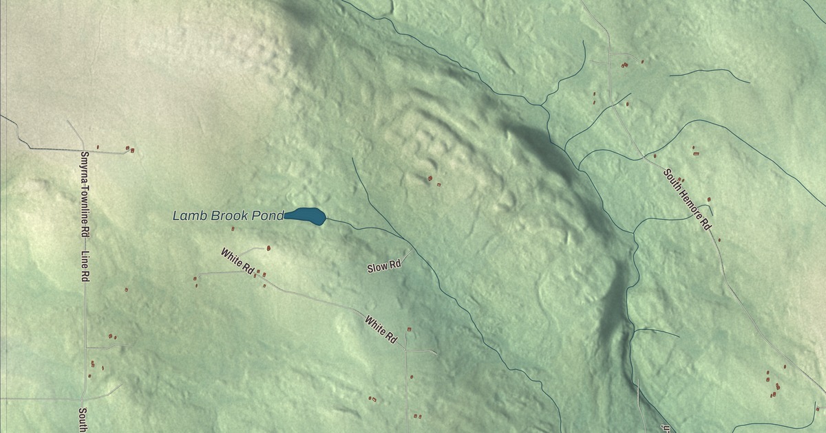
Line Road gives you a starting point for this Ludlow map. Look for Lamb Brook Pond and Bradbury Lake, then explore the roads and buildings around them. Click here to purchase a print of this map for your wall.
Ludlow is a town in Aroostook County.
KNOWOL made this map in 2026 from public survey records, United States Geological Survey elevation data and Census Bureau files. Its atlas layout brings together Ludlow’s roads, buildings, ponds and waterways, and terrain, the town boundary and the pattern of buildings.
Aroostook town and highway geography
Ludlow was incorporated in 1864. The town lies in Aroostook County, and the northernmost point of Interstate 95 is within its boundaries, before the southbound exit.
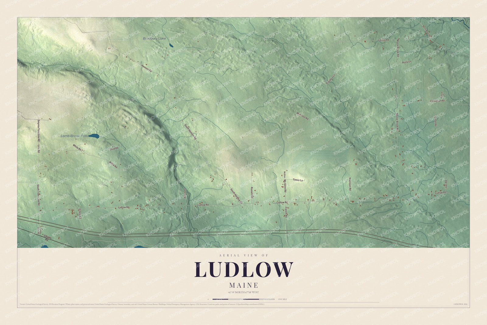
Click to explore a larger preview. The digital watermark does not appear on printed maps.
See it on a wall
The Ludlow map as a framed print. Swipe for more.


Explore the Ludlow map
Line Road, South Town Line Road and Mc Glinn Road are printed road names. Ludlow Road, Moose Brook Road and South Hemore Road give you more routes to find in the preview.
Lamb Brook Pond and Bradbury Lake are labeled on the artwork. Look over the drawn roads, buildings and terrain around them, then enlarge the preview to examine a familiar part of town.
For people who call Ludlow home, this map shows the town as it looks today. Put it in your office, library, or den, or use it to teach children the geography and history of the area. Zoom in on the preview above to explore the details, then click here to get your copy of the Ludlow, Maine map.

Sources