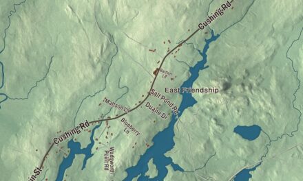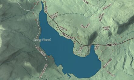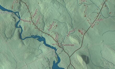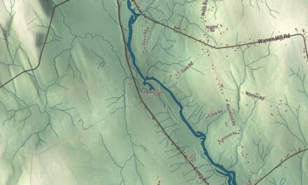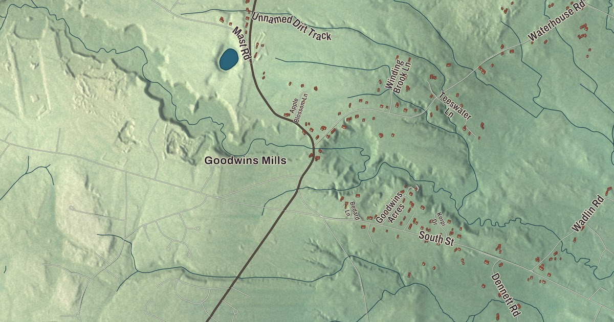
Goodwins Mills is the village name on this map of Dayton, Maine, and Goodwins Mills Road is printed beside it. Clarks Mills Road, New County Road, Dyer Road, Anderson Road and Landing Road carry their names across the rest of town. Click here to purchase a print of this map for your wall.
Dayton is a town in York County, with 2,129 people at the 2020 census.
KNOWOL made this map in 2026 from public survey data and gave it the look of an old atlas. The Census Bureau measures Dayton at 18.40 square miles, 0.51 of them water, and its files give the roads and the town line. United States Geological Survey elevation data shades the land along the Saco River, which drains the town.
From Little Falls Plantation to Dayton
The Sokokis, or Saco, people hunted and fished along the Saco River here, and their old Sokokis Trail is Route 5 today, which passes through Dayton and meets Route 35 in town. In 1664 Major William Phillips bought from the sagamore the land that became Little Falls Plantation, now the towns of Hollis and Dayton and part of Limington. In 1728 a stockaded fort with a trading post, the Saco Truck House, went up half a mile below Union Falls, and it was kept as a garrison until the fall of Quebec in 1759.
Settlers arrived in 1753, and lumbering became a principal industry: logs were rolled down the riverbanks and floated to the sawmills at Saco. Nathaniel Goodwin built the first local mill in 1782 at Goodwins Mills, where the falls on Swan Brook drop 33 feet, and a sawmill and gristmill went up at Union Falls, then called Hopkinson’s Mill, in 1806. Tanneries followed, and the land was cleared for farms. Little Falls Plantation was incorporated as Phillipsburg in 1798, in honor of Major Phillips, but in 1810 the name, considered hard to pronounce and spell, was changed to Hollis. Dayton dates to 1854, when the southern part of Hollis asked the legislature to become a separate town. Permission was granted, and the new town took its name from Thomas Day, who had submitted the petition.
Union Falls and Goodwins Mills
In 1860 Dayton voted to build a covered bridge at Union Falls, 112 feet long and 18 feet wide, across to Buxton. The Clark Power Company blew it up in 1921, and the Pine Tree Moving Picture Corporation of Portland filmed the blast for a melodrama. Central Maine Power later built the Skelton Dam on the Saco between Dayton and Buxton, flooding the gorge, and a new road, Company Road, replaced the one the water cut off. The dam got the largest fish lift in Maine in 2001. Once a town of dairy farms, Dayton is mostly residential now.
On Goodwins Mills Road, which is State Route 35, the Levi Foss House stands on the Dayton side of the village of Goodwins Mills; most of the village lies in neighboring Lyman. Built about 1815, it’s a well-preserved connected farmstead, house and ells joined to the barn in an L, with Federal trim on the stairs and Greek Revival detail added later at the doorway and barn. It was listed on the National Register of Historic Places in 1984.
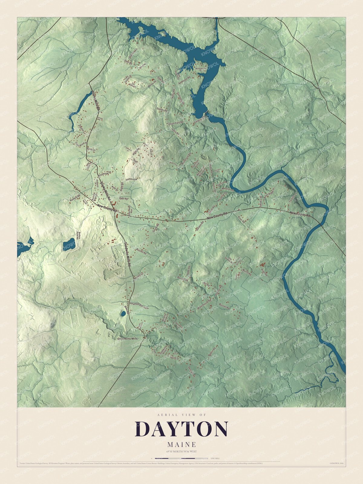
Click to explore a larger preview. The digital watermark does not appear on printed maps.
See it on a wall
The Dayton map as a framed print. Swipe for more.


Across Dayton
Goodwins Mills is printed on the map, and so is Goodwins Mills Road. Clarks Mills Road, New County Road, Dyer Road, Anderson Road and Landing Road are printed too, and the smaller side streets between them are drawn in as well.
This Dayton map makes a fine addition to an office, library or den, and it can help teach children the geography and history of the area. It’s made for everyone who calls Dayton home, from Goodwins Mills to Landing Road, as it looks today. Zoom in on the preview above to explore the details, then click here to get your copy of the Dayton, Maine map.

Sources