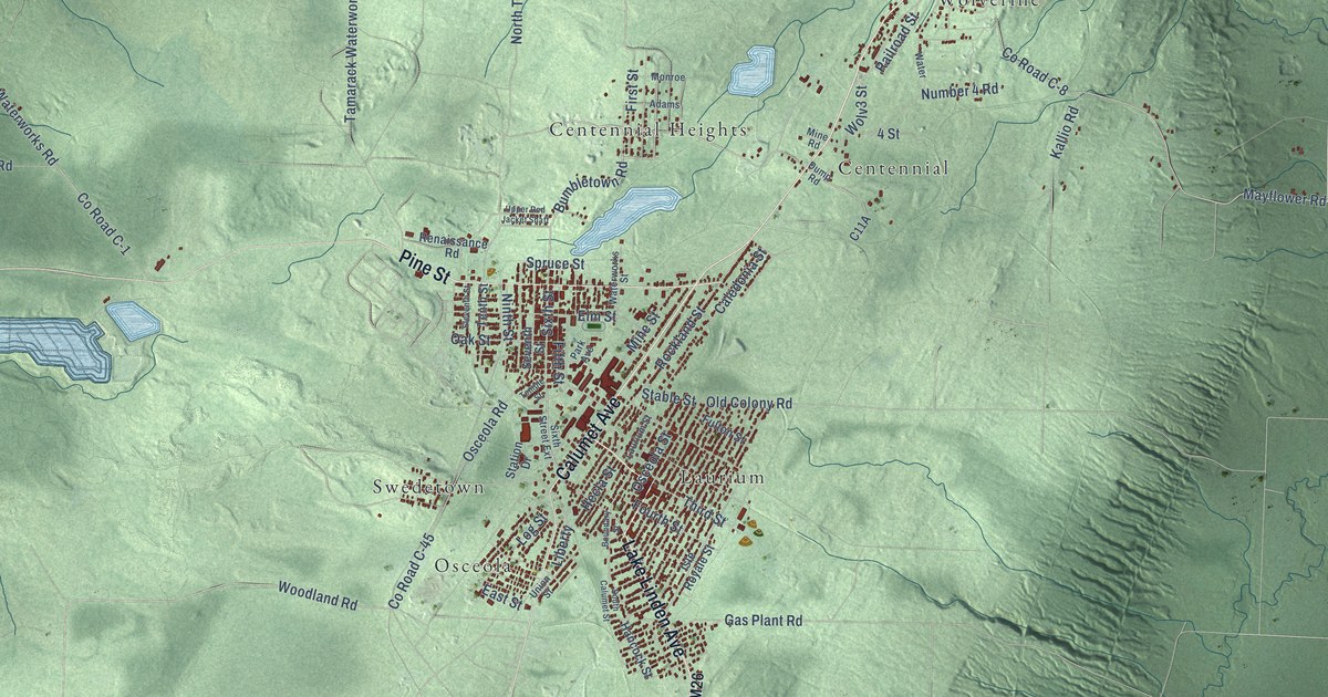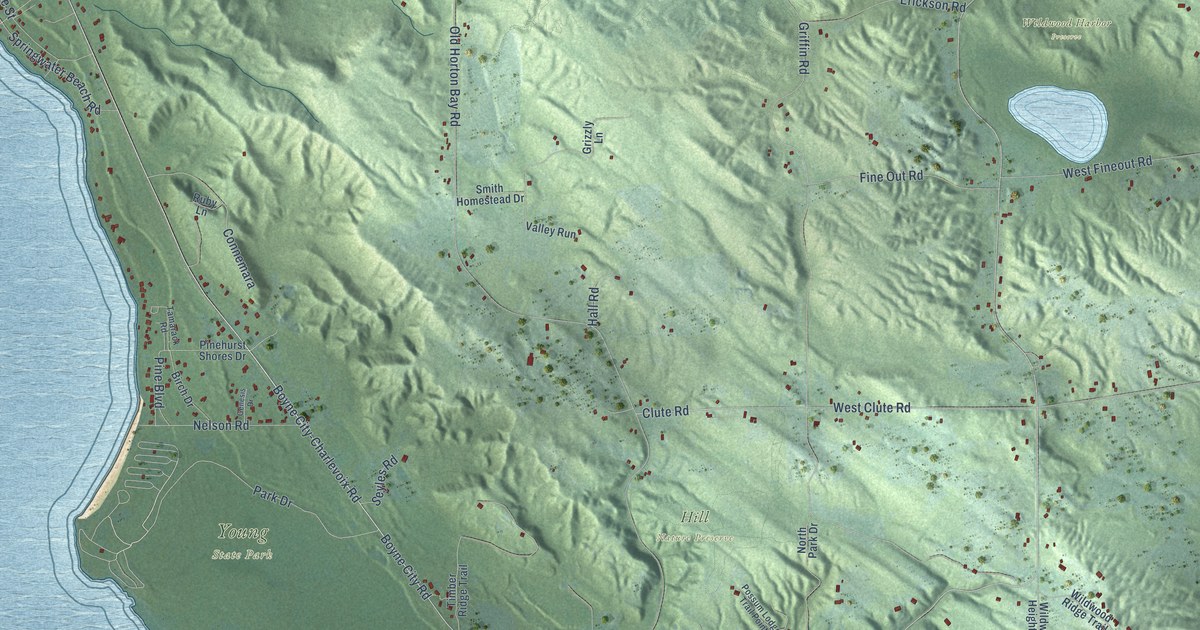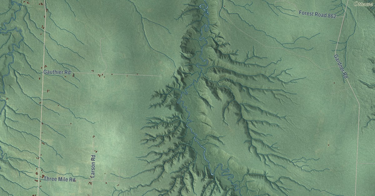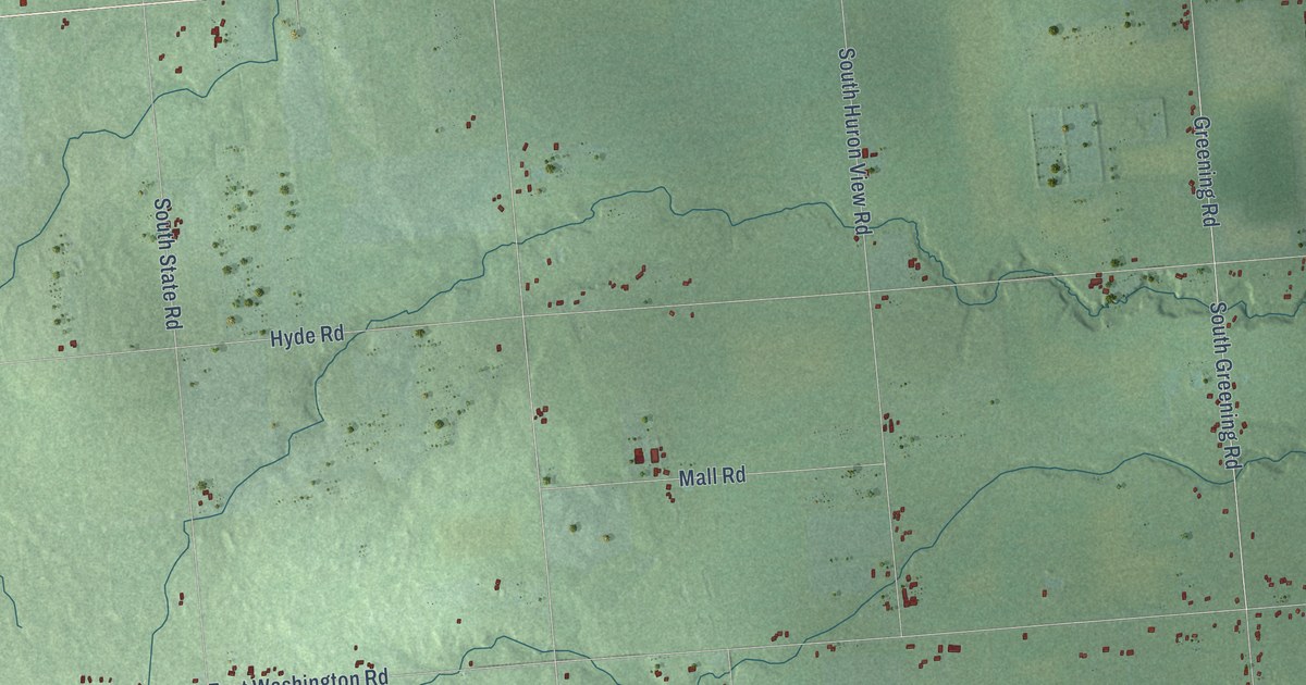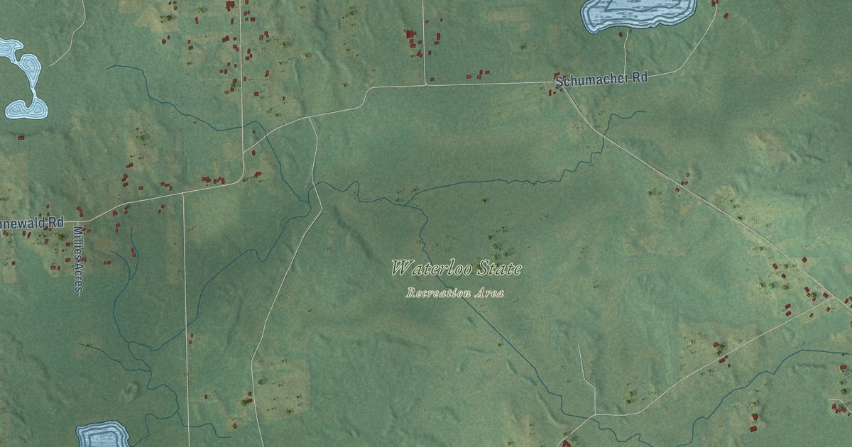
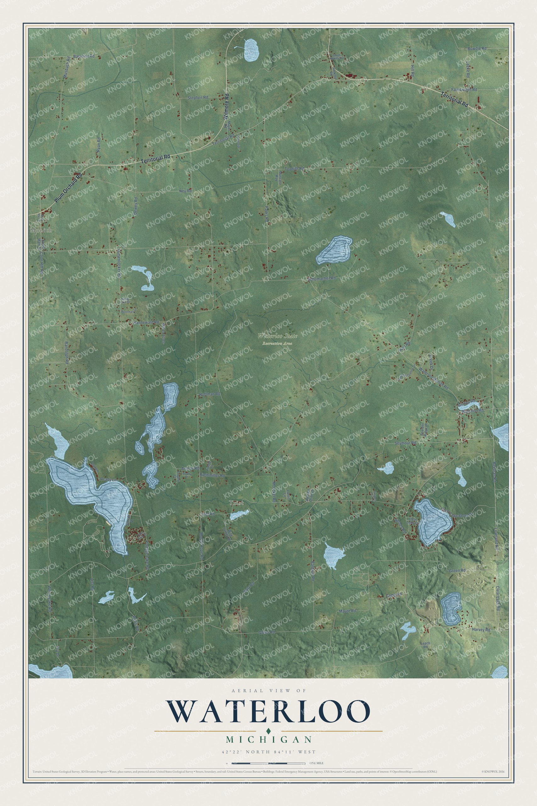
This beautifully detailed map of Waterloo, Michigan was created in 2026 using aerial imagery combined with modern topographical, census, street and landmark data. It's a modern aerial view of Waterloo in Jackson County, Michigan, that combines modern data with a vintage aesthetic. The roads feature printed names, and if you look closely you can find your exact house accurately shown in its correct location.
Explore an aerial view of Waterloo, Michigan
On this map you'll find Munith, Trist, Waterloo State Recreation Area, Territorial Road, Wilmore Road, Plum Orchard Road, Harvey Road, Andrys Road, Clear Lake Road, Waterloo Munith Road, Portage Lake Road, Loveland Road, and more. Each red shape is a building, so zoom in on the preview and look for yours.
Every town has a first chapter, and Waterloo is no exception. The History of Jackson County puts it this way: "A house for school purposes was built in 1837 at the present village of Waterloo, in which Miss Margaret Paddock taught the first school. The German Lutheran church, three miles southwest of Waterloo village, was built in 1840, in which Elder Fred Schmidt, from Ann Arbor, preached the first sermon."
The Census Bureau counted 2,931 people here in 2020.
Take a closer look at the Waterloo map
Names on this map
These names are printed on this map.
Places: Munith, Trist and Waterloo State Recreation Area.
Streets and roads: Territorial Road, Wilmore Road, Plum Orchard Road, Harvey Road, Andrys Road, Clear Lake Road, Waterloo Munith Road, Portage Lake Road, Loveland Road, Mount Hope Road, Harr Road, Bowdie Road.
More street names, A to Z
Autumn Olive Lane, Baldwin Road, Barnes Road, Bartig Lake Drive, Baseline Road, Beeman Road, Boulder Ridge Lane, Camp Road, Clear Lake Court, Clear Lake Shore Drive, Coon Hill Road, Cove View Drive, Creek Drive, Dawson Country Lane, Dewey Road, Dorbert Drive, Farnsworth Road, Firefly Lane, Fry Drive, Glenn Road, Gorton Road, Green Road, Hannewald Road, Hill Road, Hinkley Road, Hoffman Road, Huttenlocker Road, Katz Road, Lantis Lane, Leach Road, Leeke Road, List Road, Maute Road, Mayer Road, Millies Acres, Moeckel Road, Musbach Road, Muscato Way, Neu Road, North Main Street, Parks Road, Randolph Road, Ready Lane, Riethmiller Road, Rosemary Lane, Ryan Road, Schrah Drive, Schumacher Road, Seymour Road, Shepherd Farm Lane, South Hinkley Road, South Main Street, Stephen Road, Territorial, Tophith Road, Trist Road, Trophy Court, Trophy Drive, Waterloo Road, Welch Lake Road, Wild Turkey Drive, Willis Road.
Created by KNOWOL in 2026. The buildings are small red shapes, the roads carry their printed names, and shaded relief shows the shape of the land. The title panel reads "AERIAL VIEW OF WATERLOO, MICHIGAN" with 42°22' NORTH 84°11' WEST.
Hang it in the hallway, the office or the cabin, or give it to someone who left Waterloo and still calls it home. Open the preview and look for a street you know. See sizes and frames for the Waterloo map.