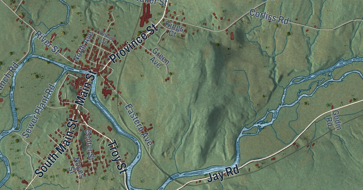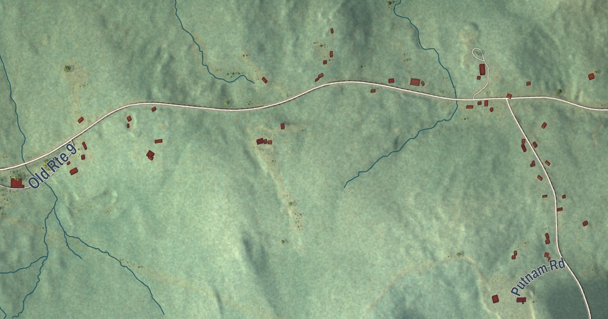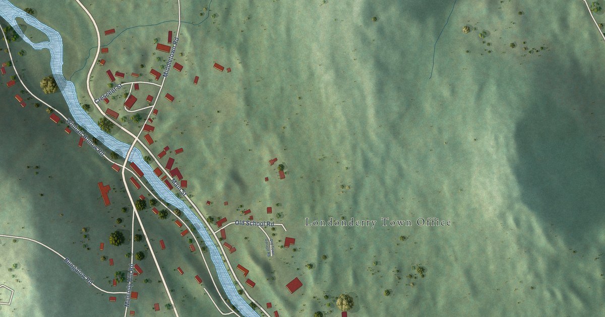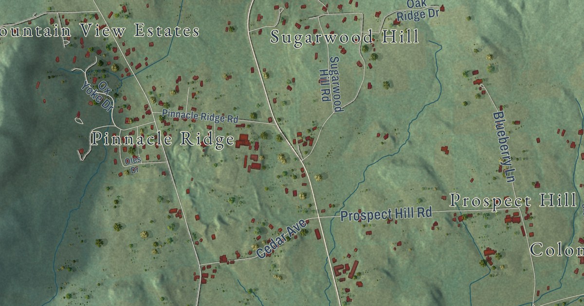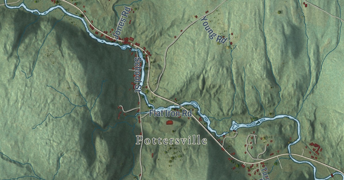
This beautifully detailed map of Wolcott, Vermont was created in 2026 using aerial imagery combined with modern topographical, census, street and landmark data. It’s a one-of-a-kind view of Wolcott that combines accurate data with a vintage aesthetic. The map shows every building in its true location, many of the roads carry their names, and the shaded topographic relief shows the shape of the land.
Explore an aerial view of Wolcott, Vermont
On the map you’ll find North Wolcott, Pottersville, Wolcott Pond, and Wapanacki Lake, along with North Wolcott Road, Corley Road, East Elmore Road, Brook Road, Hines Road, Marsh Road, and more. If you look closely you can even find your house accurately drawn in its correct location. Zoom in on the preview to look for yours.
Did You Know?
By 1937, Wolcott village was home to the Largest Country Store in the World. Charles E. Haskell had opened it fifty years earlier. It sold everything from toys to tractors, with supplies bought by the carload. Customers came from a hundred miles around for its sales. That’s from the 1937 WPA guide to Vermont.
Take a closer look at the Wolcott map
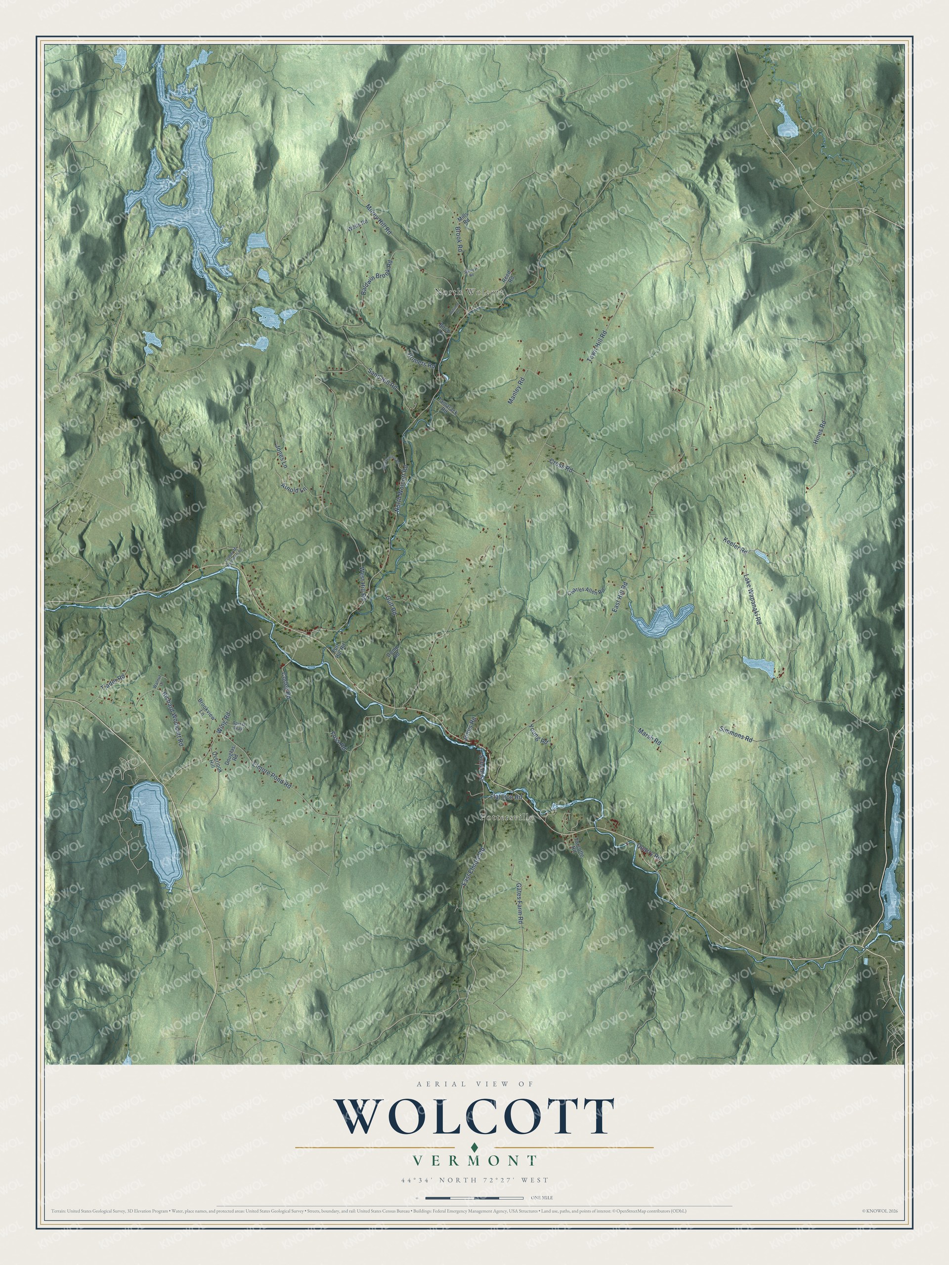
Click to explore a larger preview. The digital watermark does not appear on printed maps.
Names on this map
These names are printed on this map.
Places: North Wolcott and Pottersville.
Streets and roads: North Wolcott Road, Corley Road, East Elmore Road, Brook Road, Hines Road, Marsh Road, East Hill Road, Town Hill Road, West Hill Road, Elmore Pond Road, Baldwin Brook Road, Keeler Road.
More street names, A to Z
Apixia Way, Arnold Lane, Autumn Lane, Birch Lane, Brookview Lane, Charles Allen Road, Copper Mi Northeast Road, Cross Road, Douglas Road, Dump Road, Flat Iron Road, Fort Hill Road, Foss Road, Gates Farm Road, Greenewood Road, Gulf Road, Homers Road, Jones Lane, Jones Road, Lake Wapanaki Road, Manley Road, Mills Road, Morey Hill Road, Overlook Hill, Quarry Road, Reed Road, Richard Woolcott Road, Sand Hill Road, School Street, Simmons Road, Stanley Road, Tamarack Road, Tjader Road, Turcotte Road, Walnut Lane, Wells Road, Wing Road, Young Road.
See it on a wall
The Wolcott map as an 18 x 24 inch print in a black frame.

This beautifully detailed map of Wolcott makes an attractive addition to your office, library, or den, and it can even be used to teach children the geography and history of the area. It also makes a great gift for anyone with Wolcott roots. When you’re done exploring, click here to get your copy of the Wolcott map.