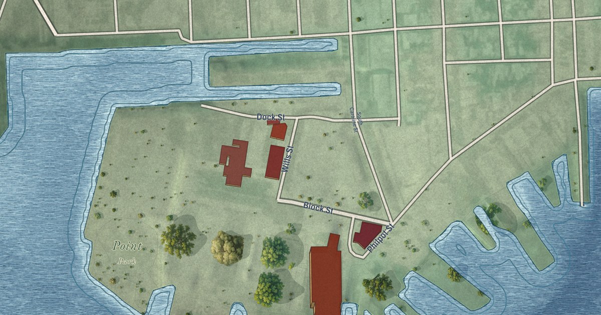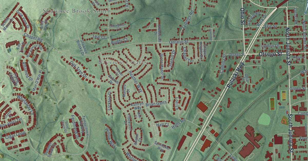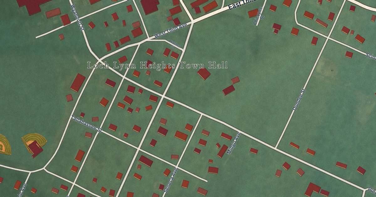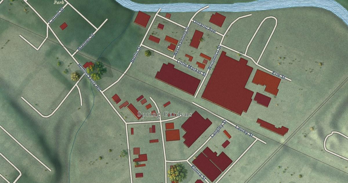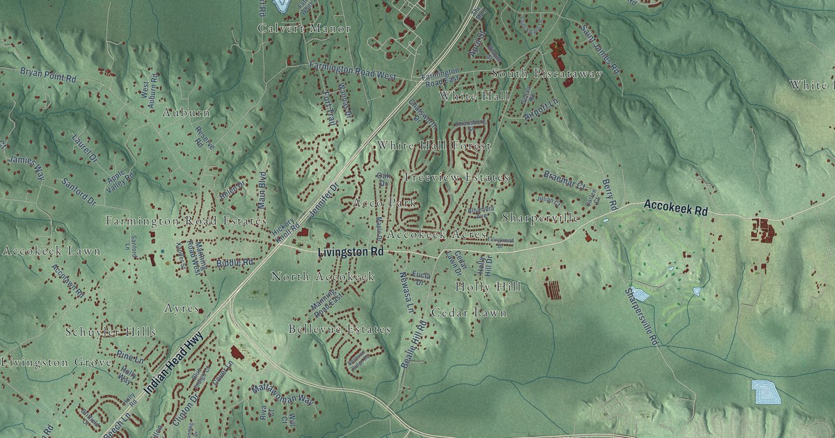
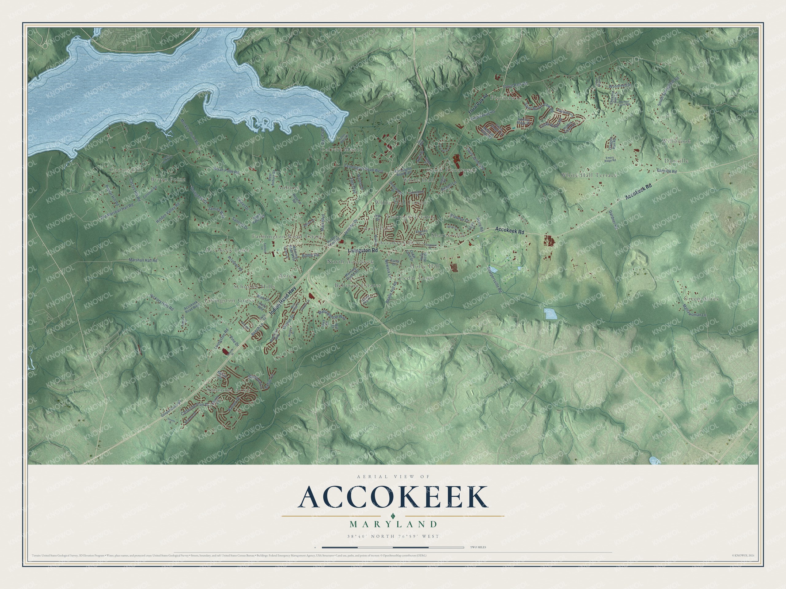
This beautifully detailed map of Accokeek, Maryland was created in 2026 using aerial imagery combined with modern topographical, census, street and landmark data. It's a modern aerial view of Accokeek in Prince George's County, Maryland, that combines modern data with a vintage aesthetic. The roads feature printed names, and if you look closely you can find your exact house accurately shown in its correct location.
Explore an aerial view of Accokeek, Maryland
On this map you'll find Cactus Hill, Willbrook, Sharperville, Simmons Acres, Green Acres, Bellevue Estates, Piscataway, Livingston Grove, Calvert Manor, Auburn, White Hall Terrace, Holly Hill, and more. Each red shape is a building, so zoom in on the preview and look for yours.
Here is a piece of Accokeek history. In 1957, Moyaone Reserve residents and the Mount Vernon Ladies' Association created the Accokeek Foundation, one of the nation's oldest land trusts, to protect the view from George Washington's home. In 1961, Piscataway Park became the first national park set aside to preserve a historic view. Alice Ferguson began the Moyaone Reserve in Accokeek in the 1940s and named it for a Native American village on John Smith's map of 1612. That's from the Maryland Historical Trust.
Accokeek is a community in Prince George's County. The Census Bureau counted 13,927 people here in 2020.
Take a closer look at the Accokeek map
Names on this map
These names are printed on this map.
Places: Cactus Hill, Willbrook, Sharperville, Simmons Acres, Green Acres, Bellevue Estates, Piscataway, Livingston Grove, Calvert Manor, Auburn, White Hall Terrace, Holly Hill, South Piscataway, Farmington Road Estates, White Hall Forest, Accokeek Lawn, Ayres, North Accokeek, Acco Park, Danville, Bryan Point, White Hall, Accokeek Acres, Schuyler Hills, Cedar Lawn and Treeview Estates.
Streets and roads: Indian Head Highway, Accokeek Road, Livingston Road, Piscataway Road, Bealle Hill Road, Bryan Point Road, Gardner Road, Old Marshall Hall Road, Floral Park Road, Danville Road, Farmington Road West, Beech Lane.
More street names, A to Z
Accokeek Road West, Accolawn Road, Admiral Ridge Drive, Airport Lane, Alhambra Avenue, Apple Valley Road, April Street, Barney Drive, Bellevue Ridge Road, Beretta Drive, Berry Road, Biddle Road, Bisque Street, Blue Indigo Court, Bohac Lane, Bonds Retreat Road, Braemar Court, Britfield Court, Cactus Hill Road, Carlee Court, Catherine Fran Drive, Cedar Lawn Drive, Charity Lane, Chatsworth Drive, Chestnut Oak Lane, Claggett Run Road, Clinton Drive, Colonial Road, Cover Lane, Dysons Lane, Ellingwood Drive, Emory Ridge Road, Eucla Drive, Farmington Road East, Father White Drive, Fort Trail, Gospel Union Road, Green Ginger Circle, Helen Drive, Hickory Hills Road, Hickory Knoll Road, Hidden Forest Drive, Hidden Valley Road, Highlands Terrace, Holly Hill Drive, Holly Road, Holly Way, Jamies Way, Jennifer Drive, Jillian Court, Laurel Drive, Lusby Ridge Road, Madrillon Way, Main Boulevard, Manning Drive, Manning Road East, Manning Road West, Maple Drive, Marshall Hall Road, Mattawoman Lane, Mattawoman Way, Medinah Ridge Road, Merino Drive, Mockley Point Road, Mountain Laurel Way, Newasa Lane, Oak Drive, Pine Drive, Pine Lane, Poplar Hill Road, Reserve Road, Riva Court, Saint Albans Lane, Saint James Road, Saint Marys View Road, Sanford Drive, Sanford Lane, Schall Road, Shanna Drive, Sharpersville Road, Shellford Lane, South Springfield Road, Springvale Court, Strausberg Street, The Mall, Wannas Drive, Wendells Lane, West Auburn Road, Wharf Road, Will Court, Woodreed Drive, Xander Street, Yellow Poplar Lane.
See it on a wall
The Accokeek map as a framed print. Swipe for more.


Created by KNOWOL in 2026. The buildings are small red shapes, the roads carry their printed names, and shaded relief shows the shape of the land. The title panel reads "AERIAL VIEW OF ACCOKEEK, MARYLAND" with 38°40' NORTH 76°59' WEST.
It suits a den, a classroom or a front hall, and it makes a gift for anyone with Accokeek roots. Open the preview and find the block you know. See sizes and frames for the Accokeek map.