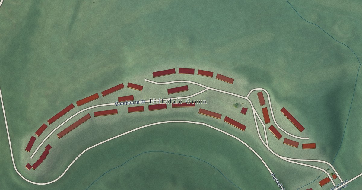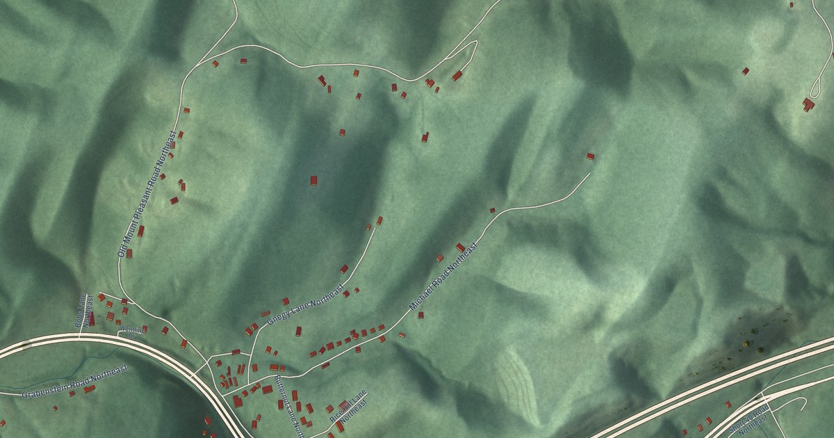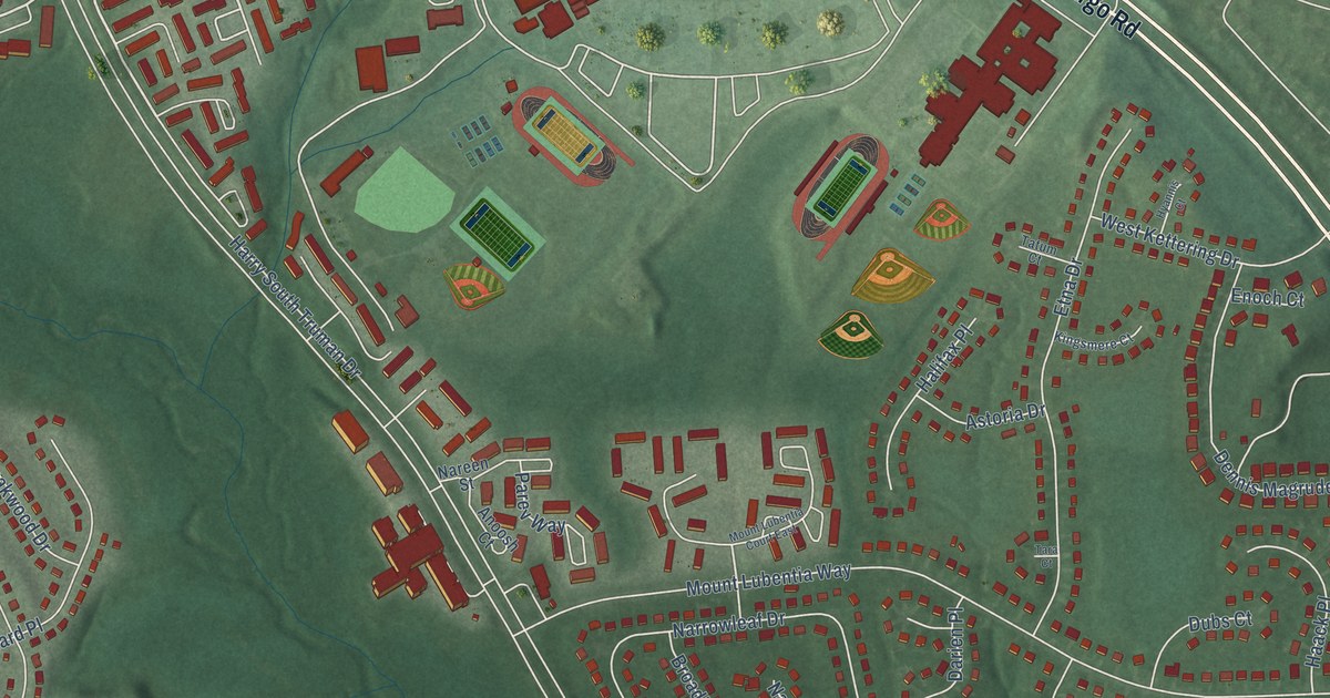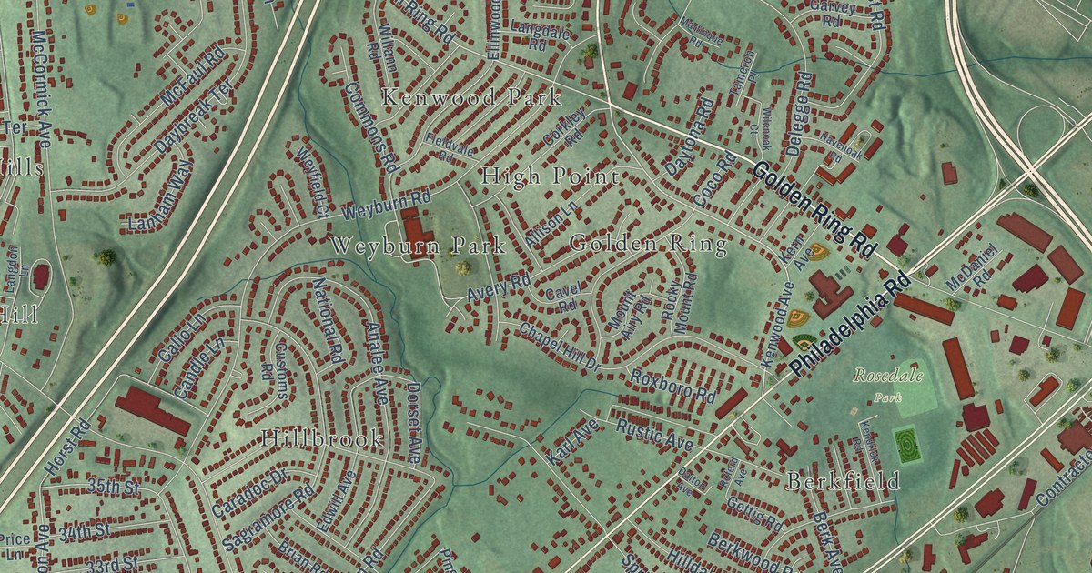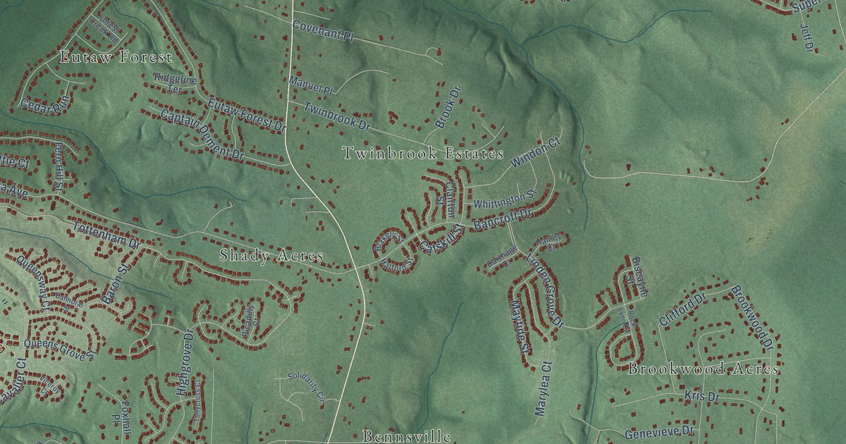
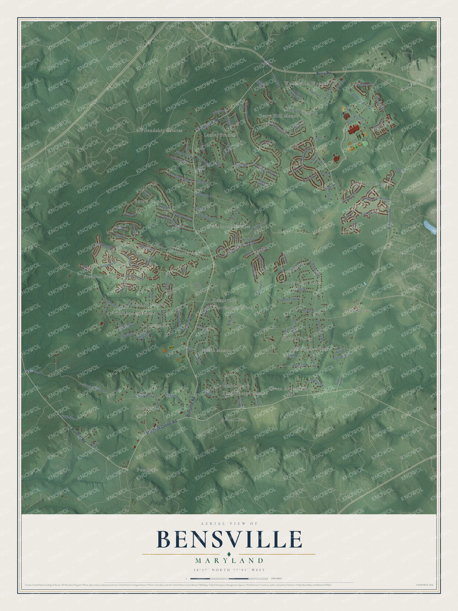
This beautifully detailed map of Bensville, Maryland was created in 2026 using aerial imagery combined with modern topographical, census, street and landmark data. It's a modern aerial view of Bensville in Charles County, Maryland, that combines modern data with a vintage aesthetic. The roads feature printed names, and if you look closely you can find your exact house accurately shown in its correct location.
Explore an aerial view of Bensville, Maryland
On this map you'll find Shady Acres, Pomfret, Wellington Woods, King George Estates, Friendship Estates, Middletown, Freedom Village, Mill Hill Estates, Spring Valley, Berry Hill Manor, Camelot, Green Acres Estates, and more. Each red shape is a building, so zoom in on the preview and look for yours.
Bensville has a story worth telling. St. Joseph's Catholic Church at Pomfret was established in 1763 by the Jesuit Father George Hunter. Before then, Catholics in the area worshiped in private homes where traveling priests said mass. The present brick church took ten years to build, and its first mass was said on January 6, 1849. That's from the Maryland Historical Trust.
Bensville is a community in Charles County. The Census Bureau counted 15,288 people here in 2020.
Take a closer look at the Bensville map
Names on this map
These names are printed on this map.
Places: Shady Acres, Pomfret, Wellington Woods, King George Estates, Friendship Estates, Middletown, Freedom Village, Mill Hill Estates, Spring Valley, Berry Hill Manor, Camelot, Green Acres Estates, Twinbrook Estates, Tarrington Creek, Eutaw Forest, Countryside, Brookwood Acres, Bolton, Avon Crest, Laurel Branch, Robie Manor, Foxhall Estates, Columbia Park, Billingsley Forest, Billingsley Park and Bennsville.
Streets and roads: Bensville Road, Marshall Corner Road, Pomfret Road, Berry Road, Davis Road, Mill Hill Road, Catskill Street, Middletown Road, Billingsley Road, Elsa Avenue, Chapel Springs Place, Cottongrass Street.
More street names, A to Z
Abell Way, Alexis Lane, Annies Place, Apple Creek Lane, Audrey Manor Court, Balmoral Street, Bancroft Drive, Baron Street, Bealle Hill Road, Berry Hills Road, Berry Thicket Court, Biltmore Street, Biscayne Street, Bismark Street, Blakely Street, Bland Street, Blue Lake Place, Bolton Farm Place, Brook Drive, Brookwood Drive, Camelot Drive, Captain Dement Drive, Cardinal Lane, Carthage Court, Cavalier Court, Cedar Run, Clairton Street, Clifford Drive, Clyde Lane, Columbia Park Road, Countryside Lane, Courtney Drive, Covenant Place, Devonfield Avenue, Downshire Court, Eleanor Place, Eutaw Forest Drive, Fawn Lane, Fern Hill Street, Forest Creek Road, Forest Glen Road, Foxburrow Place, Foxhall Drive, Foxhall Place, Frances Street, Frankfurt Drive, Gathering Place, Genevieve Drive, Granite Court, Grassland Court, Grey Run Drive, Guinevere Lane, Halford Street, Hanley Court, Hanson Road, Hickory Acres Court, Highgrove Drive, Homecoming Lane, Hoppy Place, Hunt Court, Jay Street, Jeff Drive, Jermaine Place, Kahler Road, Kelly Court, Kingsway Drive, Kirk Drive, Knotweed Court, Krefeld Lane, Kris Drive, Lady Trisha Court, Lancelot Way, Laurel Branch Drive, Lee Lane, Leighland Court, Lexington Drive, Linden Grove Drive, Locust Street, Manuel Place, Marylea Court, Mayfield Place, Maytide Street, Merchant Court, Mimis Place, Nebraska Court, Norman Drive, Out of Place, Patricia Drive, Pearl Street, Pep Rally Lane, Picadilly Court, Pimpernel Drive, Portobello Court, Prince Edward Drive, Principal Lane, Proctor Place, Queens Grove Street, Queensway Court, Randall Drive, Ravine Drive, Rendsburg Court, Ridgeline Terrace, Ridge Road, Robie Manor Drive, Rock Lynn Circle, Saw Mill Place, Saxton Court, Scenic Meadow Street, Settle Court, Shelton Drive, Shorter Place, Solidarity Circle, Southern Place, Spring Valley Drive, Stinson Place, Stoneybrook Road, Super Place, Tarrington Place, Thumper Place, Tottenham Drive, Tulip Drive, Tullycross Court, Turkey Hill Road, Twinbrook Drive, Valley Drive, Viceroy Court, Vista Court, Wellington Woods Drive, Westfield Drive, Whippoorwill Lane, Whispering Pines Place, Whittington Street, Windon Court, Yorkshire Lane, Zoll Lane.
See it on a wall
The Bensville map as a framed print. Swipe for more.


Created by KNOWOL in 2026. The buildings are small red shapes, the roads carry their printed names, and shaded relief shows the shape of the land. The title panel reads "AERIAL VIEW OF BENSVILLE, MARYLAND" with 38°37' NORTH 77°01' WEST.
It looks right in a kitchen, an office or a den, and it's a gift for anyone who grew up in Bensville or moved away. Open the preview and find your street. See sizes and frames for the Bensville map.