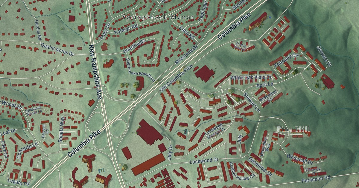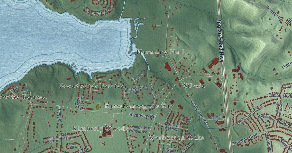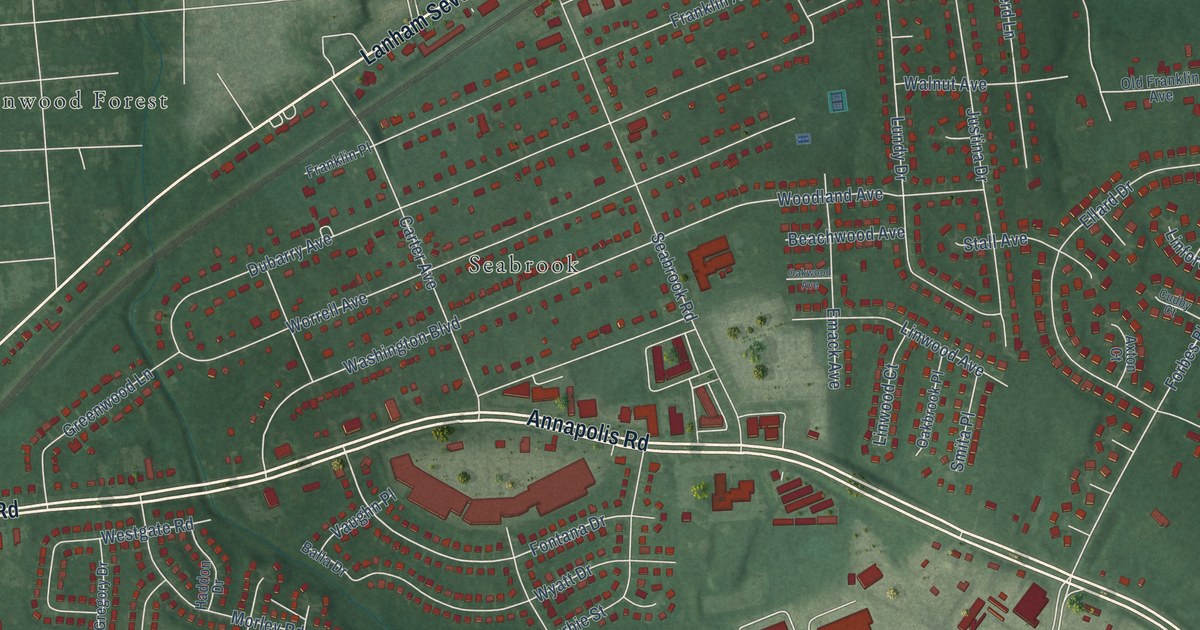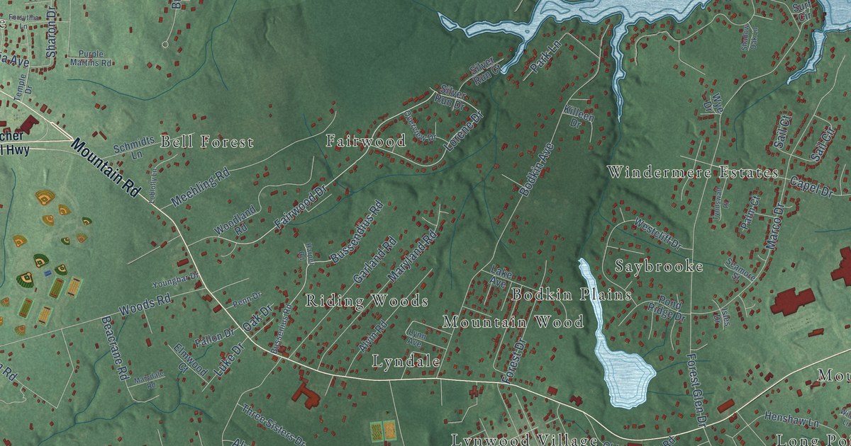
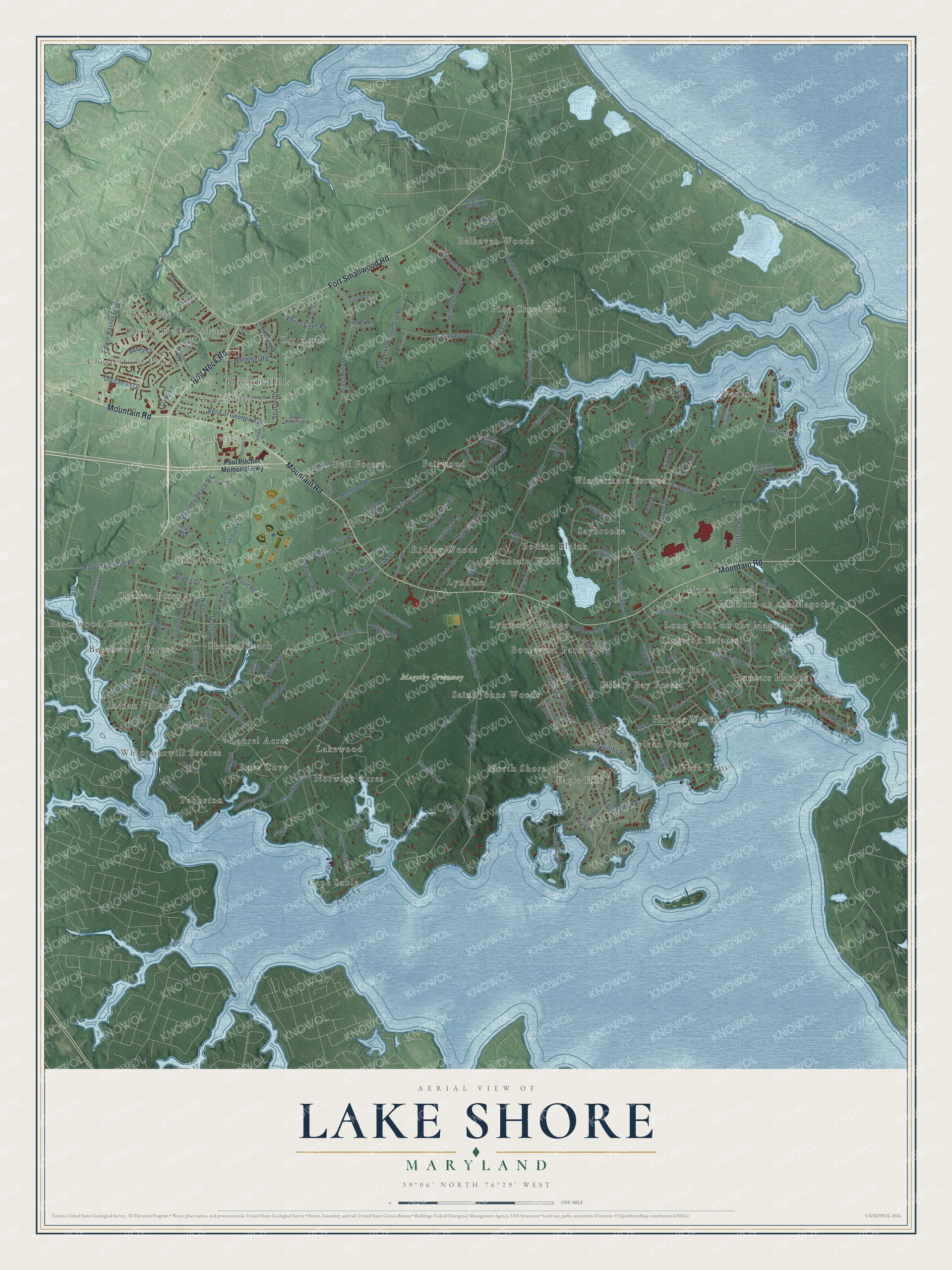
This beautifully detailed map of Lake Shore, Maryland was created in 2026 using aerial imagery combined with modern topographical, census, street and landmark data. It's a modern aerial view of Lake Shore in Anne Arundel County, Maryland, that combines modern data with a vintage aesthetic. The roads feature printed names, and if you look closely you can find your exact house accurately shown in its correct location.
Explore an aerial view of Lake Shore, Maryland
On this map you'll find Magothy Greenway, Ventnor, Orr Acres, Long Point, Tebbston, Chelsea Pines, Mountain Wood, Jacobsville, Belhaven Woods, Sylvan View, Windermere Estates, Norwich Acres, and more. Each red shape is a building, so zoom in on the preview and look for yours.
Every town has a first chapter, and Lake Shore is no exception. At Jacobsville on Mountain Road, a simple frame hall built in 1875 was the meeting place of the local Sons of Temperance. It stands on land given by Reverend Dorsey Jacobs, born in 1802, for a church hall and cemetery for the Magothy Methodist Church. That's from the Maryland Historical Trust.
Lake Shore is a community in Anne Arundel County. The Census Bureau counted 19,551 people here in 2020.
Take a closer look at the Lake Shore map
Names on this map
These names are printed on this map.
Places: Magothy Greenway, Ventnor, Orr Acres, Long Point, Tebbston, Chelsea Pines, Mountain Wood, Jacobsville, Belhaven Woods, Sylvan View, Windermere Estates, Norwich Acres, Chesterfield, Bell Forest, Mount Carmel, Eagle Hill, Cape Sable, Boulevard Park, Sillery Bay, Indian Village, Milburn on the Magothy, Pine Crest, Fairwood, Chesterfield Plaza, Ross Cove, Pine Crest West, Lyndale, Blossom Hills, Beachwood Forest, Saybrooke, Sillery Bay Forest, Kingston Estates, Saint Johns Woods, Chelsea Beach, Whippoorwill Estates, Beachwood Grove, Long Point on the Magothy, Lynwood Village, Sharonville, Laurel Acres, Chesterfield Gardens, Lakewood, Tree Tops, Riding Woods, Hunters Harbor, Herons Watch, North Shore and Bodkin Plains.
Streets and roads: Mountain Road, Fort Smallwood Road, Hog Neck Road, Fairwood Drive, Shady Lane, Laurel Drive, Old Crown Drive, Lorene Drive, Lake Shore Drive, Forest Glen Drive, Magothy Beach Road, North Shore Road.
More street names, A to Z
Abbey Court, Alvin Road, Alyssa Lane, Auds Lane, Ballybunion Court, Bayside Beach Road, Beach Avenue, Beachwood Park Road, Beacrane Road, Belgarden Lane, Belhaven Avenue, Belle of Georgia Avenue, Betty Lane, Bishop Road, Bodkin Avenue, Braid Hills Drive, Bridge Drive, Brummel Road, Bussendius Road, Bussenius Road, Capel Drive, Cape Sable Court, Carnoustie Drive, Circle Road, Claiborne Road, Cornfield Road, Cornish Lane, Cove Road, Creek Boulevard, Croydon Way, Delaware Avenue, Devere Drive, Doby Lane, Dover Road, Drain Drive, Eagle Hill Road, Edgewater Road, Edwin Raynor Boulevard, Eighth Street, Eleventh Street, Elmwood Court, Emma Lane, Fallon Drive, Ferry Point Road, Flora Lane, Forest Drive, Forsythia Lane, Gallatin Way, Garland Road, George Road, Ginn Lane, Grachur Road, Grandview Road, Gray Drive, Gullane Court, Harper Road, Henshaw Lane, Hickory Point Road, Hunner Road, Iris Drive, Isles Drive, Johnsontown Road, Killeen Drive, Lake Avenue, Lions Watch Drive, Loblolly Lane, Long Point Road, Lowes Way, Luff Court, Luke Drive, Lynn Avenue, Magothy Bridge Road, Magothy Road, Main Creek Road, Marco Drive, Marydale Road, Maryland Avenue, Maryland Road, Maywood Avenue, Meehling Road, Michael Ryan Court, Middlebury Drive, Milburn Circle, Mortonhall Court, New York Avenue, Ninth Street, Oak Drive, Old Mountain Road, Old Nike Missle Site Road, Olivia Way, Orchard Point Road, Orr Court, Overview Drive, Palm Court, Park Creek Road, Park Lane, Paul Pitcher Memorial Highway, Peat Bog Lane, Penn Drive, Pheasant Court, Pine Drive, Pond Ridge Drive, Postal Court, Purple Martins Road, Riverside Drive, Ryan Road, Sahalee Court, Sail Circle, Sail Court, Schmidts Lane, Seamore Street, Shadow Oak Lane, Sharon Drive, Sillery Bay Road, Silver Run Court, Silver Run Drive, Sixth Street, South Carolina Avenue, Southwood Road, Steedman Point Road, Strohm Drive, Sturtons Lane, Sundew Lane, Surf Circle, Swan Cove Lane, Swift Road, Sylvan Way, Sylview Drive, Tanyard Lane, Teal Drive, Temple Drive, Tennessee Avenue, Tenth Street, Thies Drive, Three Sisters Drive, Trails End Road, Twelfth Street, Tyndswall Place, Valley Drive, Ventnor Road, Virginia Avenue, Waldo Road, Westcliff Drive, Whites Cove Road, Wileys Lane, Winged Foot Drive, Wolsey Court, Woodland Road, Woods Road, Wye Drive, Youngbar Drive.
See it on a wall
The Lake Shore map as a framed print. Swipe for more.


Created by KNOWOL in 2026. The buildings are small red shapes, the roads carry their printed names, and shaded relief shows the shape of the land. The title panel reads "AERIAL VIEW OF LAKE SHORE, MARYLAND" with 39°06' NORTH 76°29' WEST.
Hang it in the hallway, the office or the cabin, or give it to someone who left Lake Shore and still calls it home. Open the preview and look for a street you know. See sizes and frames for the Lake Shore map.