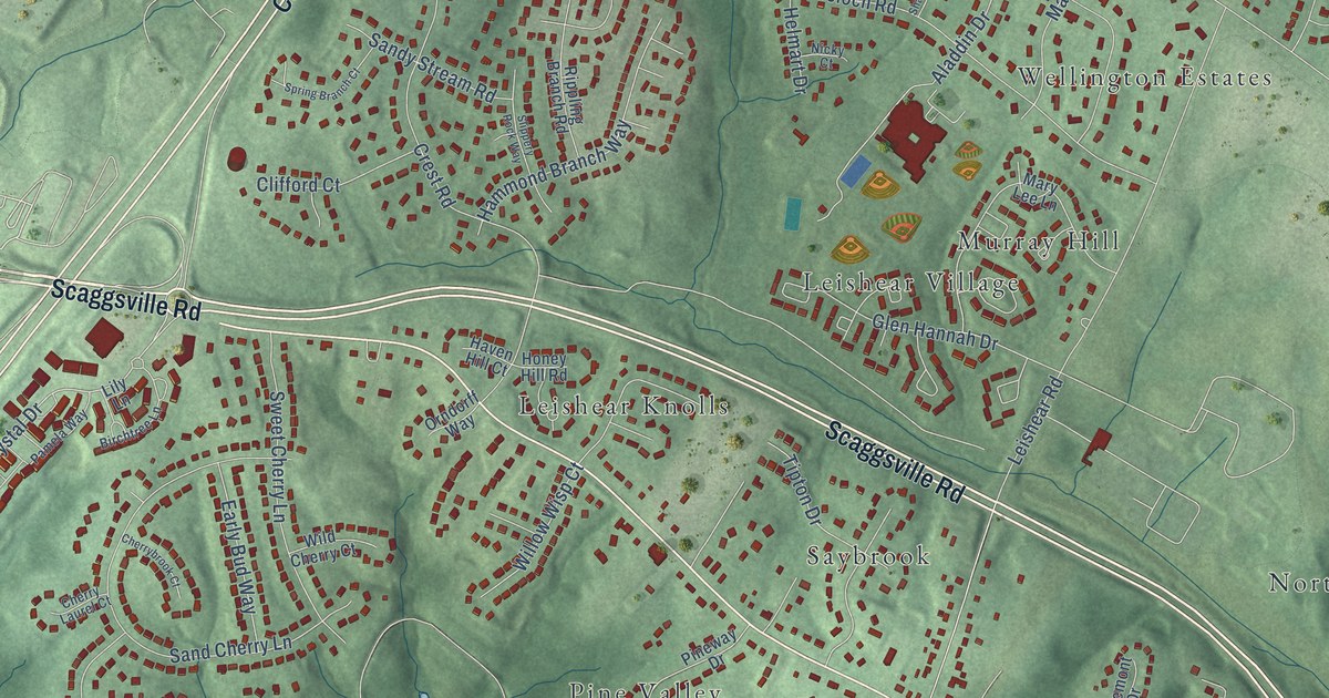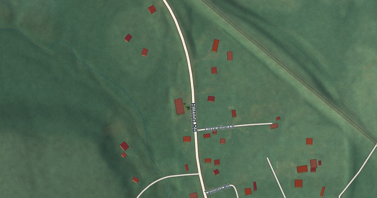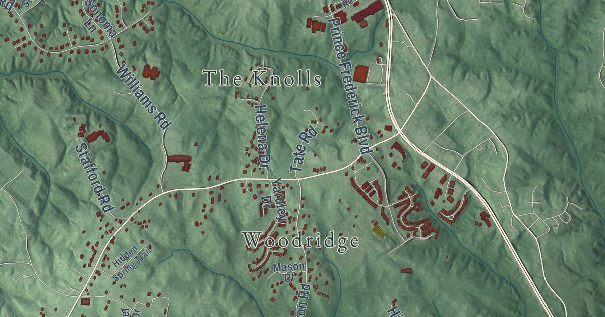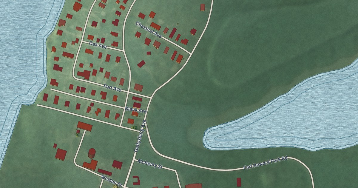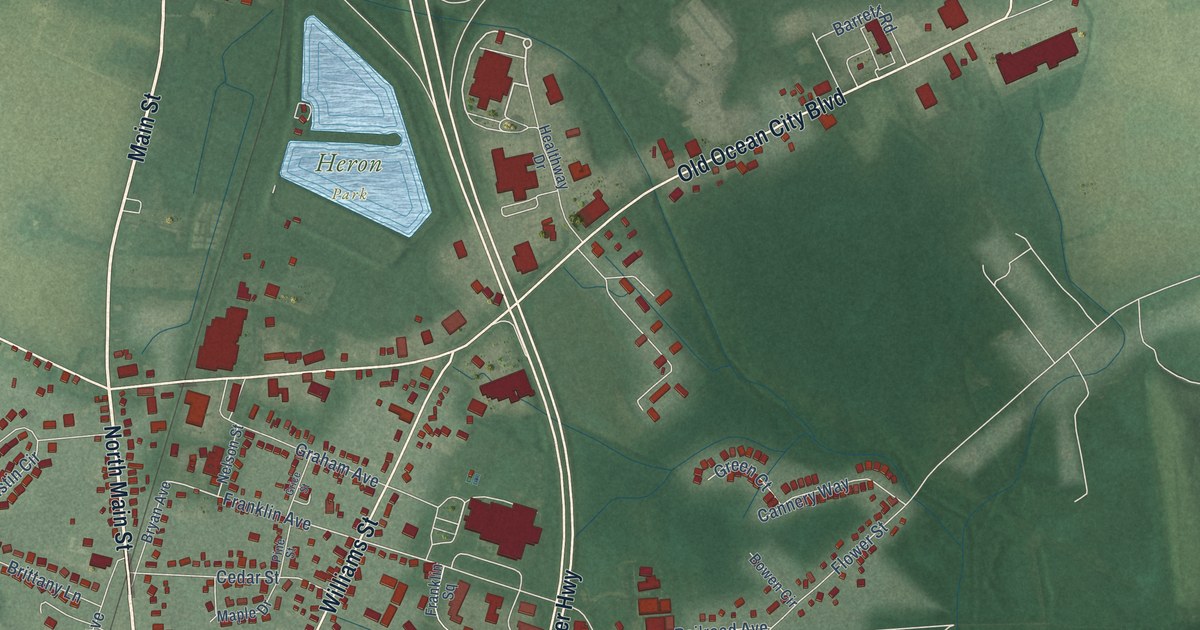
This beautifully detailed map of Berlin, Maryland was created in 2026 using aerial imagery combined with modern topographical, census, street and landmark data. It’s a one-of-a-kind view of Berlin that combines accurate data with a vintage aesthetic. The map shows every building in its true location, many of the roads carry their names, and the shaded topographic relief shows the shape of the land.
Explore an aerial view of Berlin, Maryland
On the map you’ll find Heron Park, Franklin Heights, Pomona Heights, and Ocean Gtwy, along with Broad Street, North Main Street, Libertytown Road, Main Street, South Main Street, Bay Street, Worcester Highway, Old Ocean City Boulevard, and more. If you look closely you can even find your house accurately drawn in its correct location. Zoom in on the preview to look for yours.
Did you know this piece of Berlin, Maryland history?
From the Town of Berlin: "The town grew and became a popular spot for tourists who enjoyed hunting and fishing on the Eastern Shore or were on their way to the small coastal town of Ocean City. Berlin is noted as the birthplace of Stephen Decatur, the 19th-century naval hero."
Take a closer look at the Berlin map
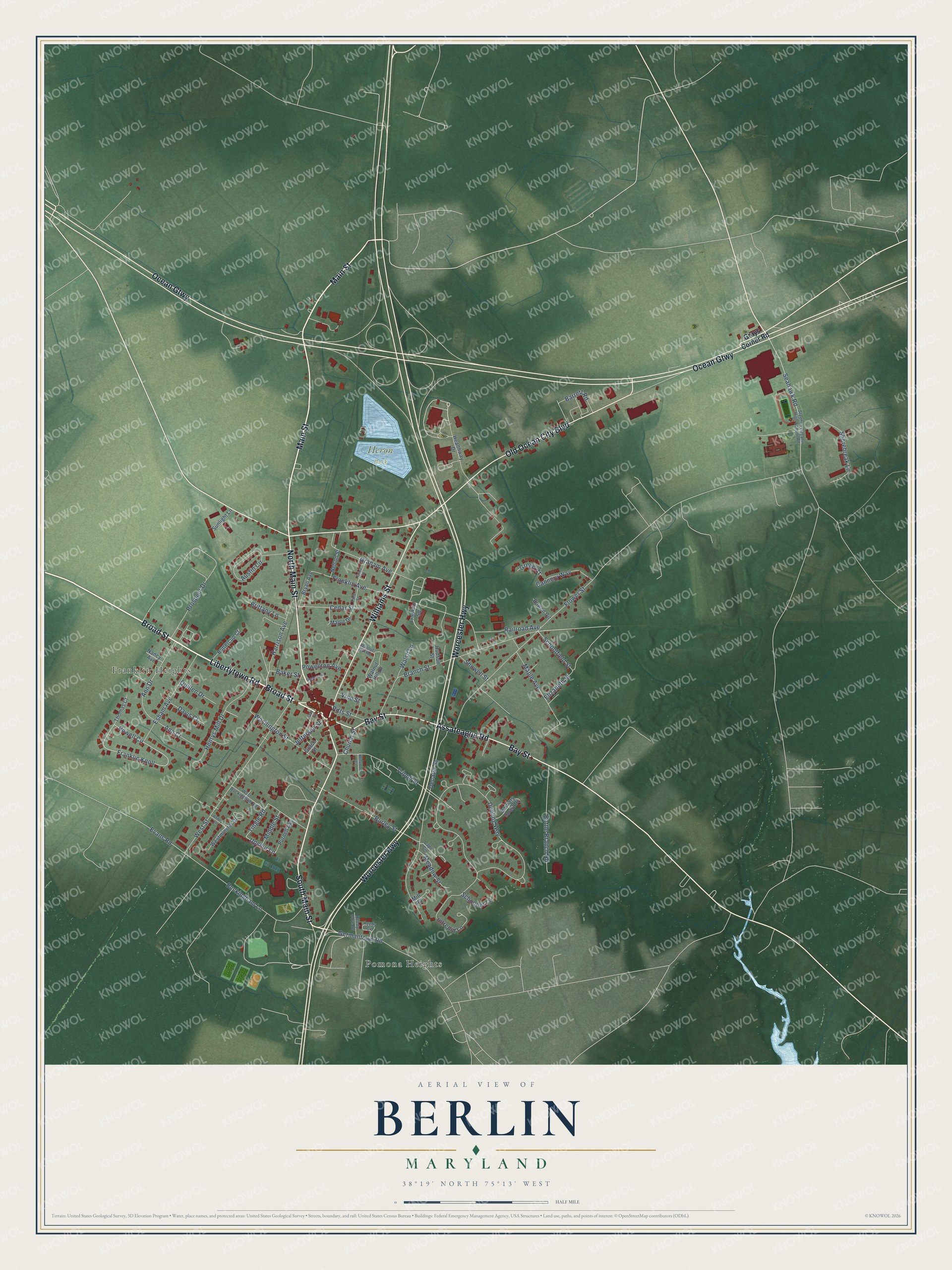
Street and place names on the Berlin, Maryland map
These names are printed on the map of Berlin, Maryland.
Places: Heron Park, Franklin Heights and Pomona Heights.
Streets and roads: Broad Street, North Main Street, Libertytown Road, Main Street, South Main Street, Bay Street, Worcester Highway, Ocean Gtwy, Old Ocean City Boulevard, Williams Street, Assateague Road, Tingle Road.
More street names, A to Z
Abbey Lane, Ann Court, Ann Drive, Austin Circle, Baker Street, Barbary Coast Drive, Barrett Road, Bottle Branch Road, Bowen Circle, Branch Street, Brittany Lane, Bryan Avenue, Buckingham Lane, Burley Street, Buttercup Court, Cannery Way, Cape Circle, Cedar Street, Church Street, Davis Court, Decatur Street, Dueling Way, Elizabeth Street, Esham Avenue, Evans Road, Flower Street, Franklin Avenue, Franklin Knoll, Franklin Square, Gay Street, Germantown Road, Grace Street, Graham Avenue, Grays Corner Road, Green Court, Grice Street, Harrison Avenue, Healthway Drive, Henrys Mill Drive, Hudson Street, Intrepid Lane, Jefferson Street, Kenwood Court, Maple Avenue, Maple Drive, Meadow Street, Middle Street, Mill Road, Nancy Avenue, Nelson Street, Pine Street, Pitts Street, Powell Circle, Powellton Avenue, Prospect Drive, Purnell Avenue, Quillen Drive, Railroad Avenue, Reedy Cove Drive, Reedy Cv, Schoolfield Street, Schooner Lane, Seahawk Road, Shorebreak Lane, Showell Street, Stephen Decatur High School Road, Stevenson Lane, Sunlight Lane, Thomas Court, Tripoli Street, Upshur Lane, Vine Street, Walnut Hill Drive, Walnut Hill Road, Walsh Lane, Washington Street, West Buckingham Road, Westminster Drive, West Street.
See the Berlin, Maryland map on a wall
The Berlin map as an 18 x 24 inch print in a black frame.

This beautifully detailed map of Berlin makes an attractive addition to your office, library, or den, and it can even be used to teach children the geography and history of the area. It also makes a great gift for someone who left Berlin and still calls it home. When you’re done exploring, click here to get your copy of the Berlin map.