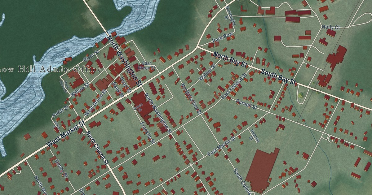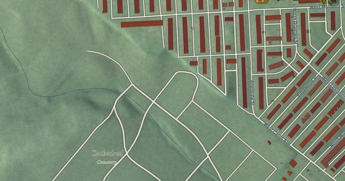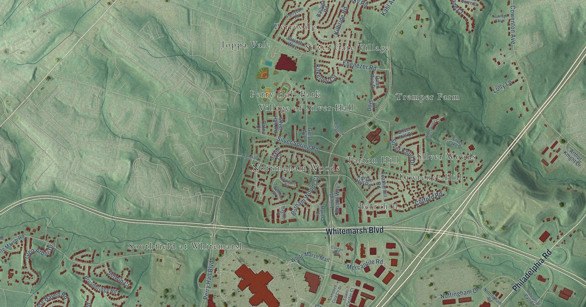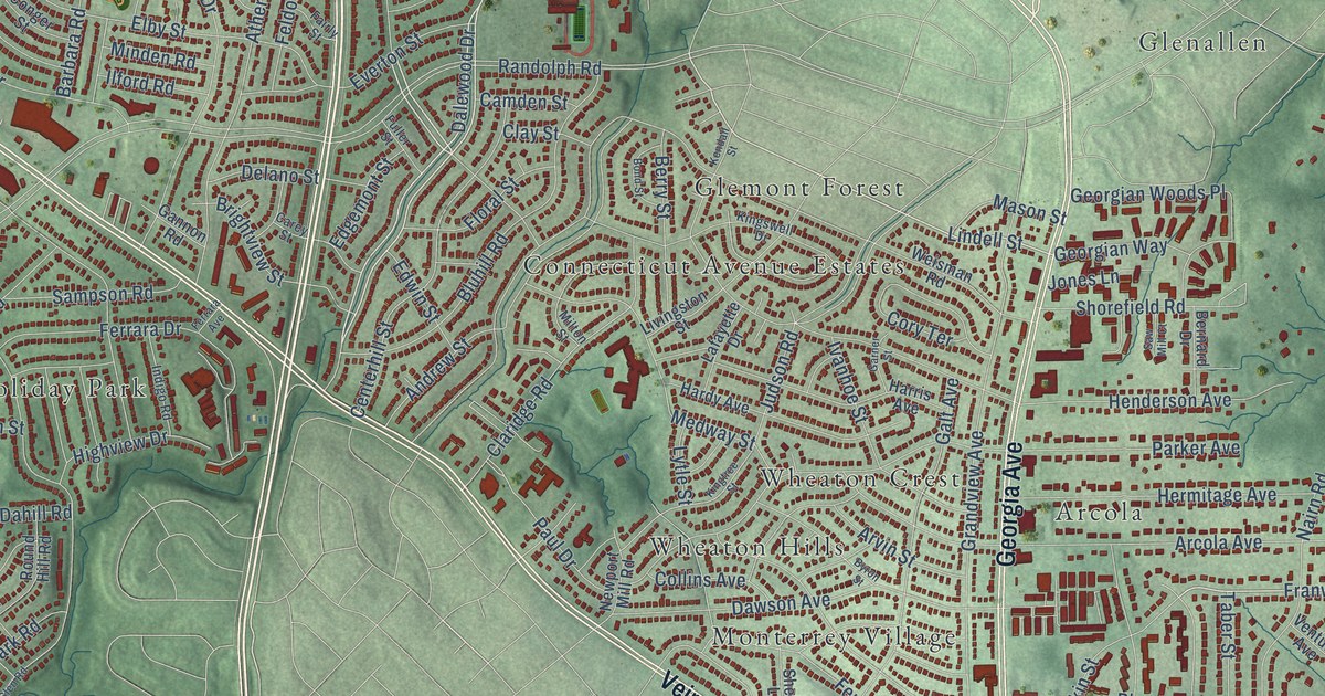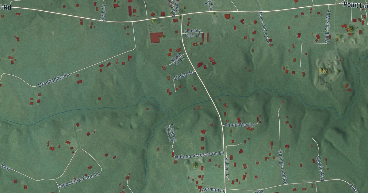
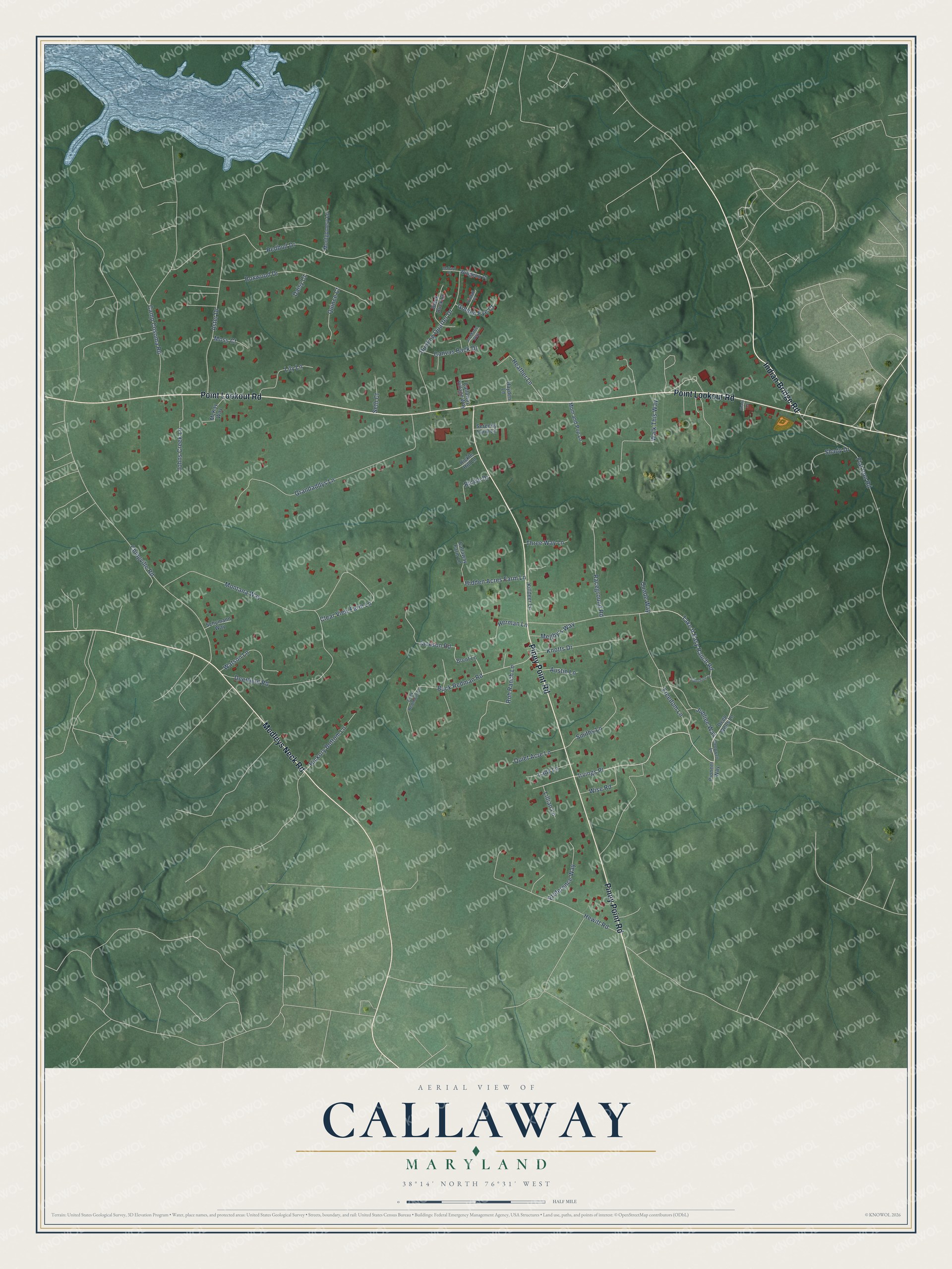
This beautifully detailed map of Callaway, Maryland was created in 2026 using aerial imagery combined with modern topographical, census, street and landmark data. It's a modern aerial view of Callaway in St. Mary's County, Maryland, that combines modern data with a vintage aesthetic. The roads feature printed names, and if you look closely you can find your exact house accurately shown in its correct location.
Explore an aerial view of Callaway, Maryland
On this map you'll find Indian Bridge Road, Point Lookout Road, Piney Point Road, Medleys Neck Road, Freedom Lane, Irvings Place, Take It Easy Ranch Road, Lillian Lane, Buck Redman Road, Chingville Road, Redbud Drive, Grandaddys Lane, and more. Each red shape is a building, so zoom in on the preview and look for yours.
Callaway is a community in St. Mary's County. The Census Bureau counted 1,779 people here in 2020. Callaway sits about 4 miles north of Tall Timbers, 5 miles west of Lexington Park and 5 miles southwest of California. The map prints the town name in its title panel, with the coordinates below it.
Take a closer look at the Callaway map
Names on this map
These names are printed on this map.
Streets and roads: Indian Bridge Road, Point Lookout Road, Piney Point Road, Medleys Neck Road, Freedom Lane, Irvings Place, Take It Easy Ranch Road, Lillian Lane, Buck Redman Road, Chingville Road, Redbud Drive, Grandaddys Lane.
More street names, A to Z
Aster Drive, Austin Lane, Black Duck Court, Boxwood Drive, Brent Lane, Buck Redmond Lane, Callaway Farm Lane, Callaway Village Way, Camp Cosoma Road, Canvas Back Drive, Clear View Farm Lane, Daisy Court, Deepwell Lane, Deep Wells Lane, Deerfield Road, Flat Iron Road, Golden Eye Court, Hayden Lane, Heather Lane, Herman Lane, Hewitt Road, Hickory Bottom Lane, Hidden Acres Farm Lane, Hunting Quarter Drive, Jackson Road, Johns Creek Lane, Jo Marie Way, Jubliee Way, Killdeer Lane, Knotts Drive, Lady Lane, Lily Lane, Mallard Place, McKay Way, Megby's Way, Mom and Pop Lane, Montana Way, Montgomery Lane, Moss Court, Pintail Place, Pioneer Way, Preference Way, Quade Way, Quiet Acre Lane, Quince Court, Raceground Road, Rickle Drive, Rickle Hill Lane, Roh Ranch Lane, Schumann Way, Serenity Farm Lane, Seth Court, Shady Drive, Shady Lane, Smiths Lane, Sunshine Lane, Three Way Lane, Walk This Way, Watson Lane, Widgeon Place, Wise Road.
See it on a wall
The Callaway map as a framed print. Swipe for more.


Created by KNOWOL in 2026. The buildings are small red shapes, the roads carry their printed names, and shaded relief shows the shape of the land. The title panel reads "AERIAL VIEW OF CALLAWAY, MARYLAND" with 38°14' NORTH 76°31' WEST.
Hang it in the hallway, the office or the cabin, or give it to someone who left Callaway and still calls it home. Open the preview and look for a street you know. See sizes and frames for the Callaway map.