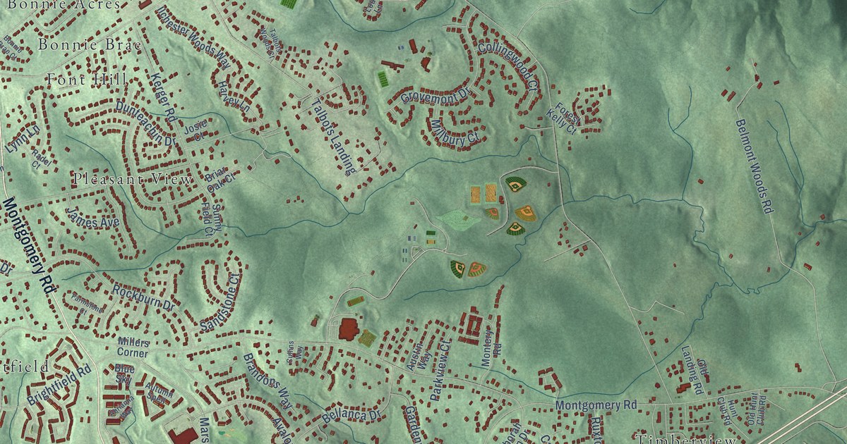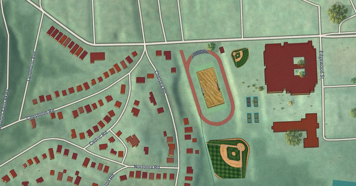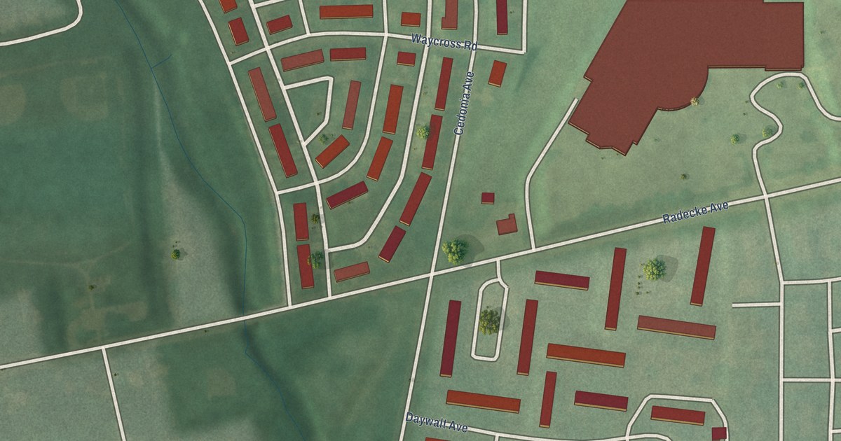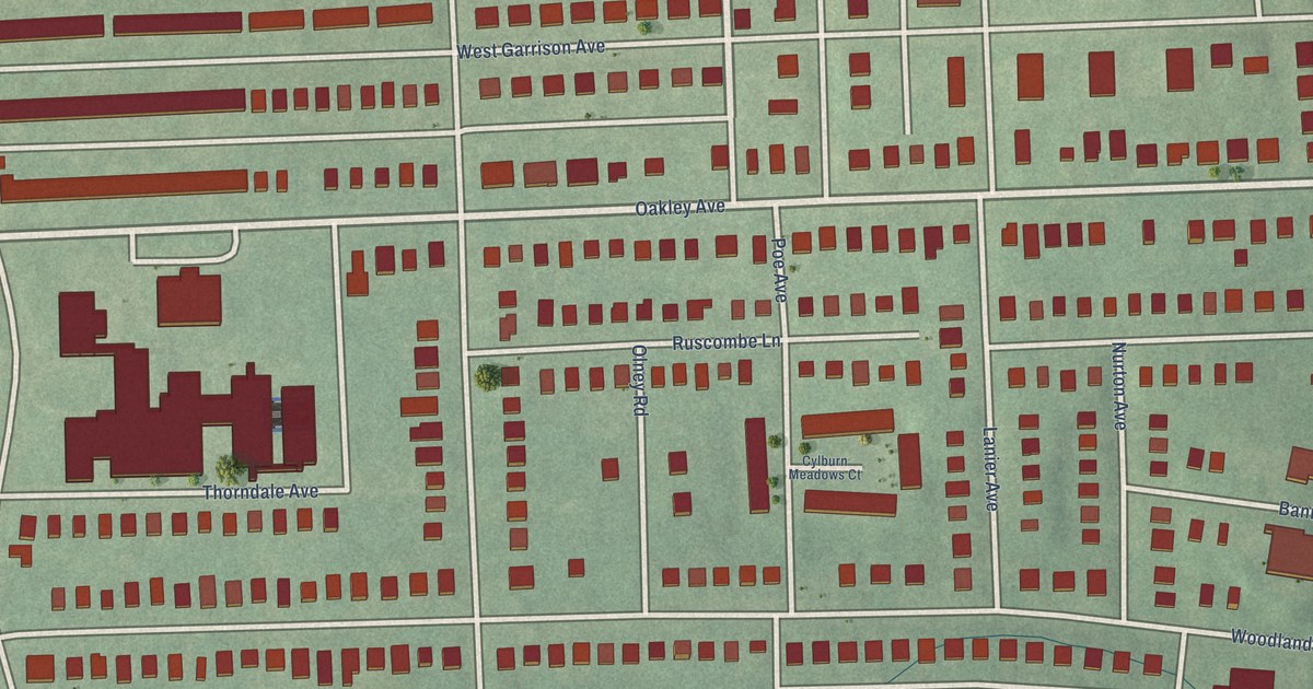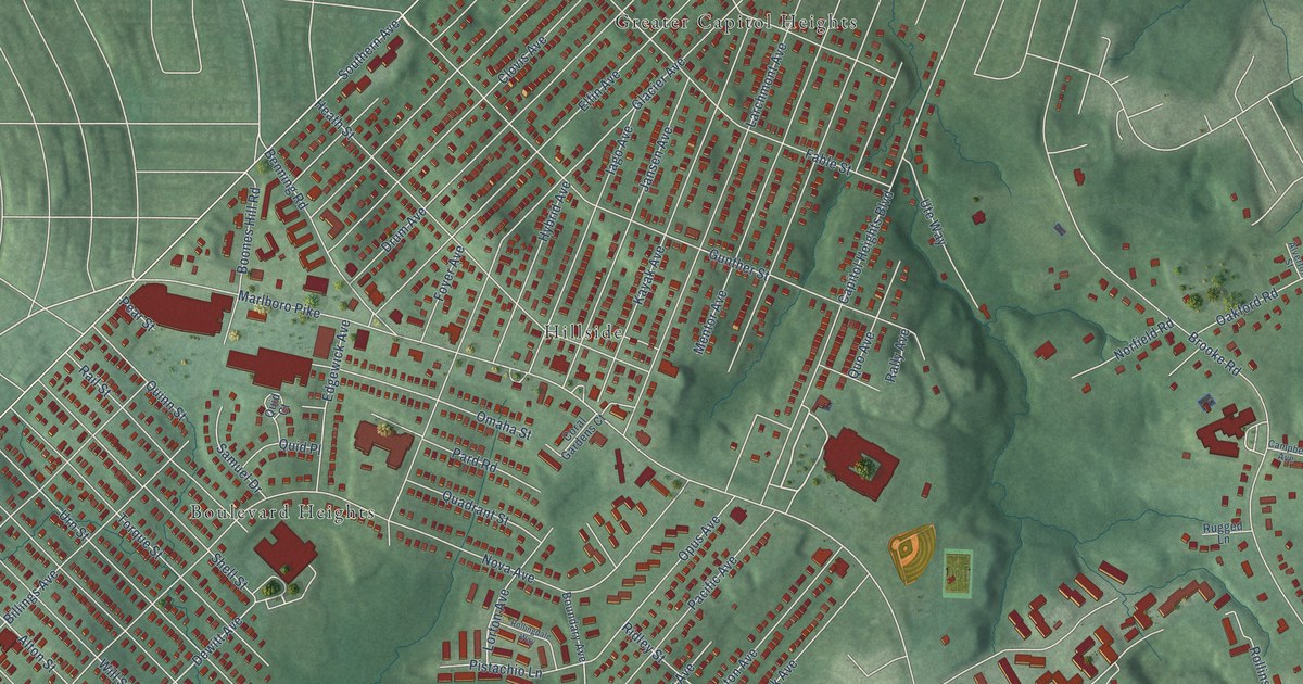
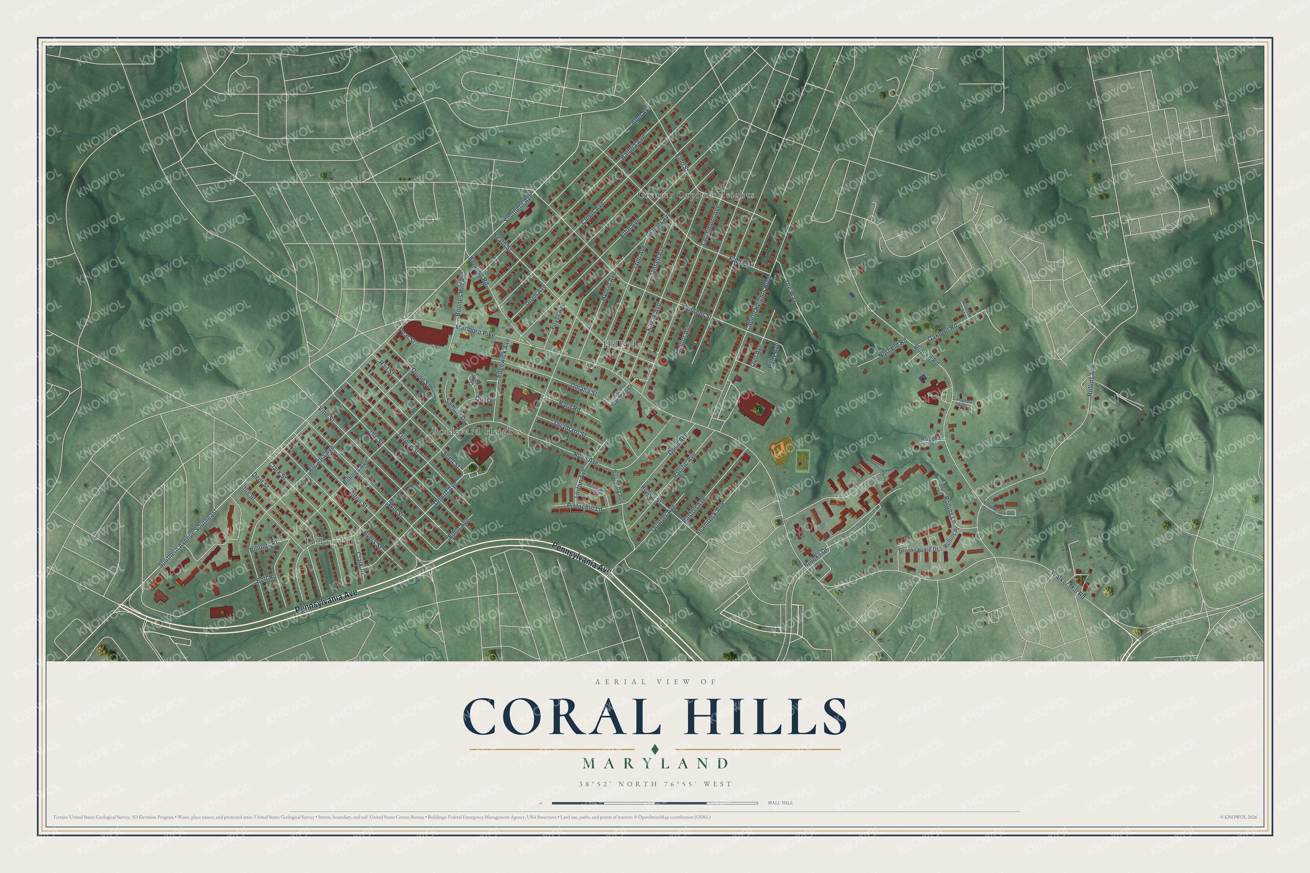
This beautifully detailed map of Coral Hills, Maryland was created in 2026 using aerial imagery combined with modern topographical, census, street and landmark data. It's a modern aerial view of Coral Hills in Prince George's County, Maryland, that combines modern data with a vintage aesthetic. The roads feature printed names, and if you look closely you can find your exact house accurately shown in its correct location.
Explore an aerial view of Coral Hills, Maryland
On this map you'll find Hillside, Dillon Park, Greater Capitol Heights, Boulevard Heights, Pennsylvania Avenue, Walker Mill Road, Dewitt Avenue, Southern Avenue, Southern Avenue Southeast, Nova Avenue, Marlboro Pike, Glacier Avenue, and more. Each red shape is a building, so zoom in on the preview and look for yours.
Coral Hills is a community in Prince George's County. The Census Bureau counted 9,997 people here in 2020. Coral Hills sits about 2 miles north of Suitland, 2 miles west of Walker Mill and 2 miles southwest of Seat Pleasant. The map prints the town name in its title panel, with the coordinates below it.
Take a closer look at the Coral Hills map
Names on this map
These names are printed on this map.
Places: Hillside, Dillon Park, Greater Capitol Heights and Boulevard Heights.
Streets and roads: Pennsylvania Avenue, Walker Mill Road, Dewitt Avenue, Southern Avenue, Southern Avenue Southeast, Nova Avenue, Marlboro Pike, Glacier Avenue, Arcadia Avenue, Brooke Road, Gunther Street, Clovis Avenue.
More street names, A to Z
Abel Avenue, Alton Street, Alverton Street, Balboa Avenue, Belt Road, Benning Road, Billings Avenue, Billings Place, Boones Hill Road, Boundary Avenue, Brooks Drive, Brooksquare Drive, Byers Street, Campbell Avenue, Capitol Heights Boulevard, Clark Place, Clark Street, Coral Gardens Court, Dent Street, Drum Avenue, Eden Avenue, Edgewick Avenue, Elfin Avenue, Ellis Street, Emo Street, Fable Street, Foyer Avenue, Heath Street, Holly Springs Drive West, Hybrid Avenue, Iago Avenue, Jansen Avenue, Kayak Avenue, Larchmont Avenue, Lorton Avenue, Mentor Avenue, Norfield Road, Oakford Road, Omaha Street, Opus Avenue, Pacific Avenue, Pard Road, Pear Street, Pistachio Lane, Quadrant Street, Quarter Avenue, Quid Court, Quid Place, Quinn Street, Quo Avenue, Rail Street, Rally Avenue, Ridley Street, Rollingdale Way, Rollins Avenue, Rollins Lane, Rollins Place, Rugged Lane, Ruston Avenue, Samuel Drive, Shamrock Avenue, Shell Street, Torque Street, Urn Street, Ute Way, Vine Street, Will Street.
See it on a wall
The Coral Hills map as a framed print. Swipe for more.


Created by KNOWOL in 2026. The buildings are small red shapes, the roads carry their printed names, and shaded relief shows the shape of the land. The title panel reads "AERIAL VIEW OF CORAL HILLS, MARYLAND" with 38°52' NORTH 76°55' WEST.
It suits a den, a classroom or a front hall, and it makes a gift for anyone with Coral Hills roots. Open the preview and find the block you know. See sizes and frames for the Coral Hills map.