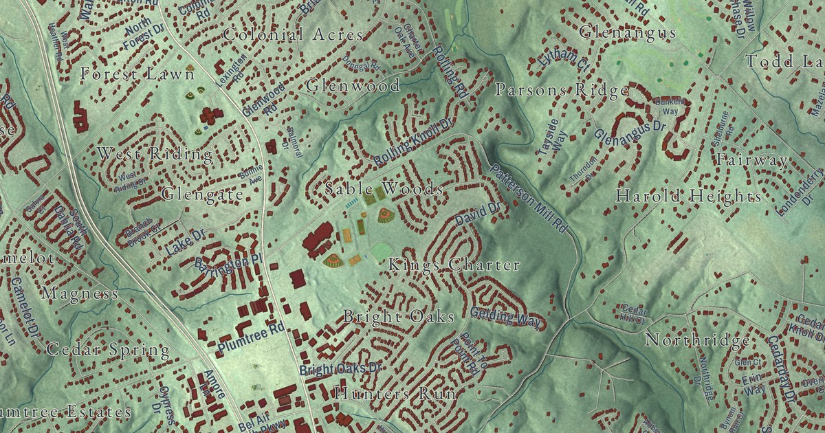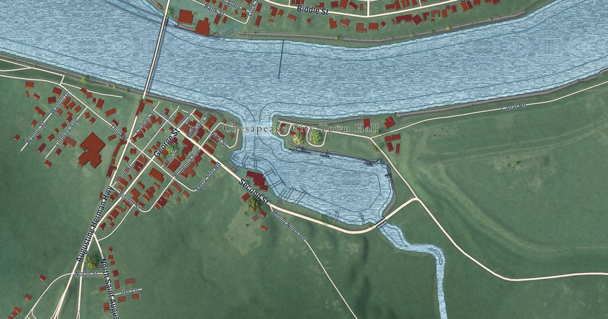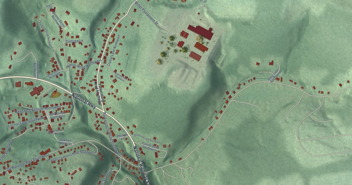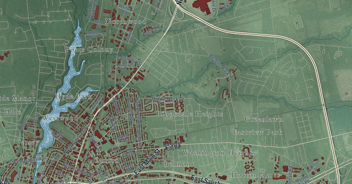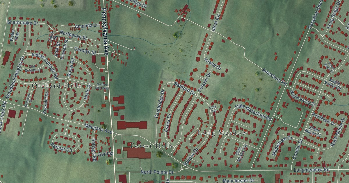
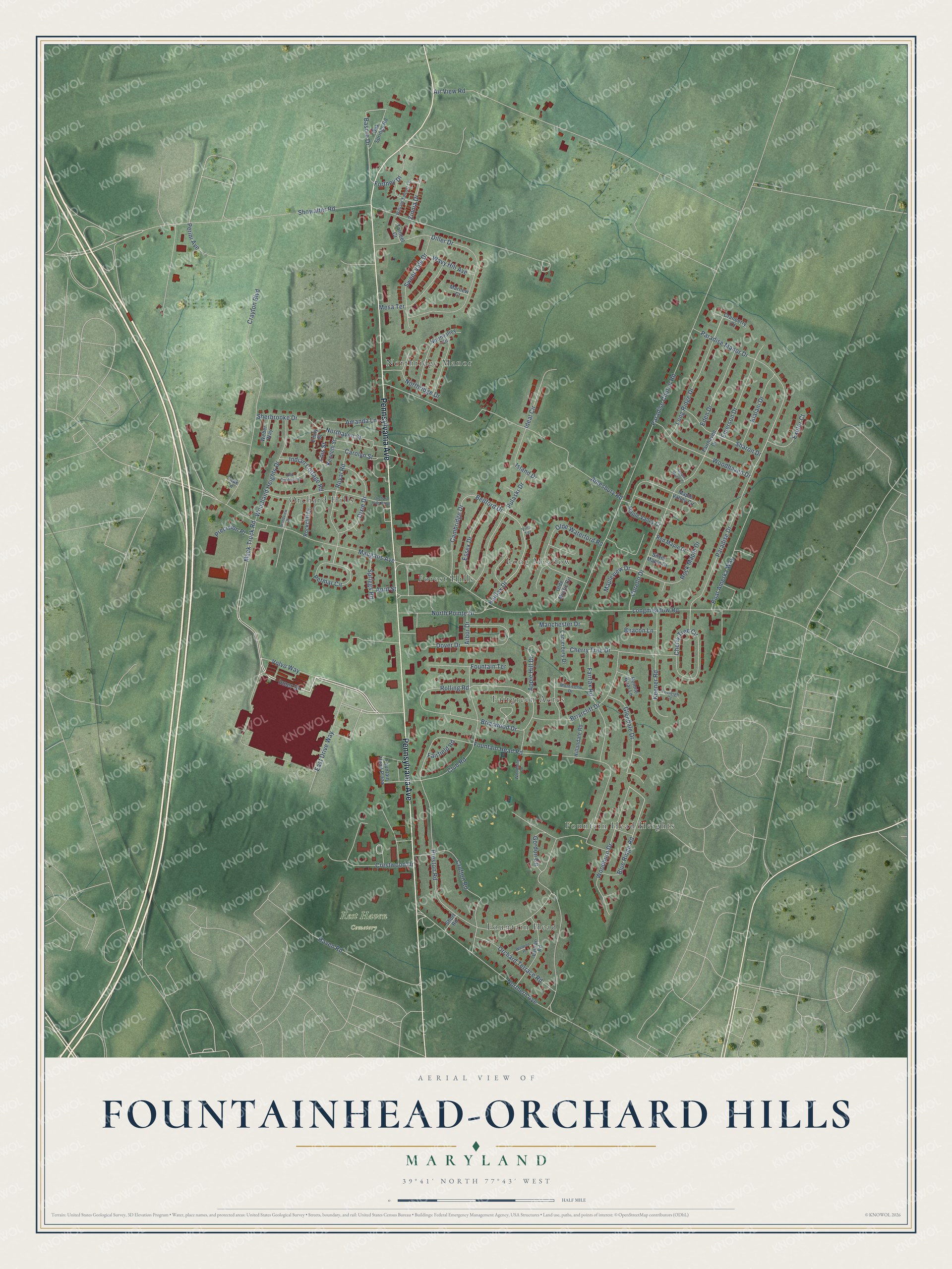
This beautifully detailed map of Fountainhead-Orchard Hills, Maryland was created in 2026 using aerial imagery combined with modern topographical, census, street and landmark data. It's a modern aerial view of Fountainhead-Orchard Hills in Washington County, Maryland, that combines modern data with a vintage aesthetic. The roads feature printed names, and if you look closely you can find your exact house accurately shown in its correct location.
Explore an aerial view of Fountainhead-Orchard Hills, Maryland
On this map you'll find Rest Haven Cemetery, Northridge Manor, Fairgreen Acres, Orchard Hills, Long Meadow, Fountain Head, Fountain Head Heights, Forest Hills, Pennsylvania Avenue, Mack Truck Road, Volvo Way, Inner Drive, and more. Each red shape is a building, so zoom in on the preview and look for yours.
Fountainhead-Orchard Hills is a community in Washington County. The Census Bureau counted 6,189 people here in 2020. Fountainhead-Orchard Hills sits about 2 miles east of Maugansville, 2 miles south of Middleburg and 3 miles southwest of Reid. The map prints the town name in its title panel, with the coordinates below it.
Take a closer look at the Fountainhead-Orchard Hills map
Names on this map
These names are printed on this map.
Places: Rest Haven Cemetery, Northridge Manor, Fairgreen Acres, Orchard Hills, Long Meadow, Fountain Head, Fountain Head Heights and Forest Hills.
Streets and roads: Pennsylvania Avenue, Mack Truck Road, Volvo Way, Inner Drive, Blue Ridge Road, Halifax Drive, Fortney Drive, Showalter Road, Rolling Road, Basore Drive, Fountain Head Road, Longmeadow Road.
More street names, A to Z
Air View Road, Amanda Lane, Amesbury Road, Apple Hill Drive, April Street, Arbor Drive, Beacon Lane, Bedford Drive, Boat Amerka Way, Bonnie Briar Lane, Briarcliff Drive, Briarwood Drive, Cambridge Drive, Canterbury Drive, Carolyn Street, Cherry Tree Circle, Cherry Tree Drive, Club Road, Corello Drive, Cranberry Court, Crayton Boulevard, Crestwood Drive, Crofton Road, Diller Drive, Dixie Drive, Dover Drive, East Drive Way, Eden Drive, Emerson Drive, Emily Street, Essex Drive, Exeter Court, Fairfax Road, Fairfield Road, Fairhaven Drive, Fountain Head Plaza, Fountain Terrace, Foxleigh Court, Glendale Drive, Gordon Circle, Grandview Drive, Haven Road, Hillandale Road, Ideal Circle, Indian Cottage Road, Island Drive, Keener Road, Kenneth Street, Kialani Drive, Lauran Road, Lois Street, Long Ridge Drive, Manchester Drive, Maple Valley Circle, Maple Valley Cr, Mapleview Drive, Marilew Court, Maugans Avenue, Mesa Terrace, Monticello Drive, Mount Maple Court, Northaven Street, Northern Avenue, North Pointe Drive, Northridge Drive, Northvalley Drive, Oak Springs Road, Old Colony Lane, Olde Mystic Circle, Olde Waterford Road, Orchard Hills Parkway, Orchard Terrace Road, Paradise Church Road, Paradise Drive, Paradise Manor Drive, Peak Circle, Perini Avenue, Petmar Circle, Precision Place, Preston Road, Pulaski Drive, Red Maple Drive, Rockcliff Drive, Rock Maple Drive, Royal Road, Sharon Drive, Sherbrooke Drive, Short Road, Silver Maple Court, Spriggs Road, Sweet Vale Drive, Tarheel Court, Villa Terrace, Waldron Place, Wavy Hill Avenue, Weber Way, William Talcott Lane, Woodbine Lane, Woodburn Drive, Woodhaven Drive, Woodland Heights Drive, Zinnia Drive.
See it on a wall
The Fountainhead-Orchard Hills map as a framed print. Swipe for more.


Created by KNOWOL in 2026. The buildings are small red shapes, the roads carry their printed names, and shaded relief shows the shape of the land. The title panel reads "AERIAL VIEW OF FOUNTAINHEAD-ORCHARD HILLS, MARYLAND" with 39°41' NORTH 77°43' WEST.
It looks right in a kitchen, an office or a den, and it's a gift for anyone who grew up in Fountainhead-Orchard Hills or moved away. Open the preview and find your street. See sizes and frames for the Fountainhead-Orchard Hills map.