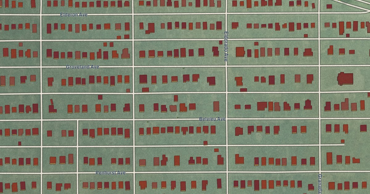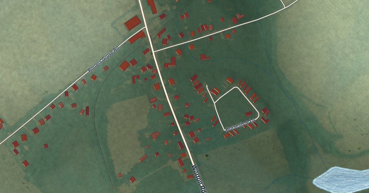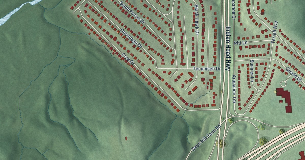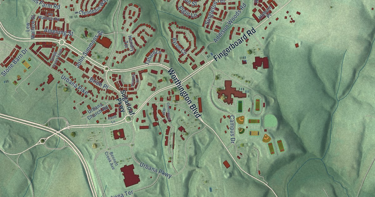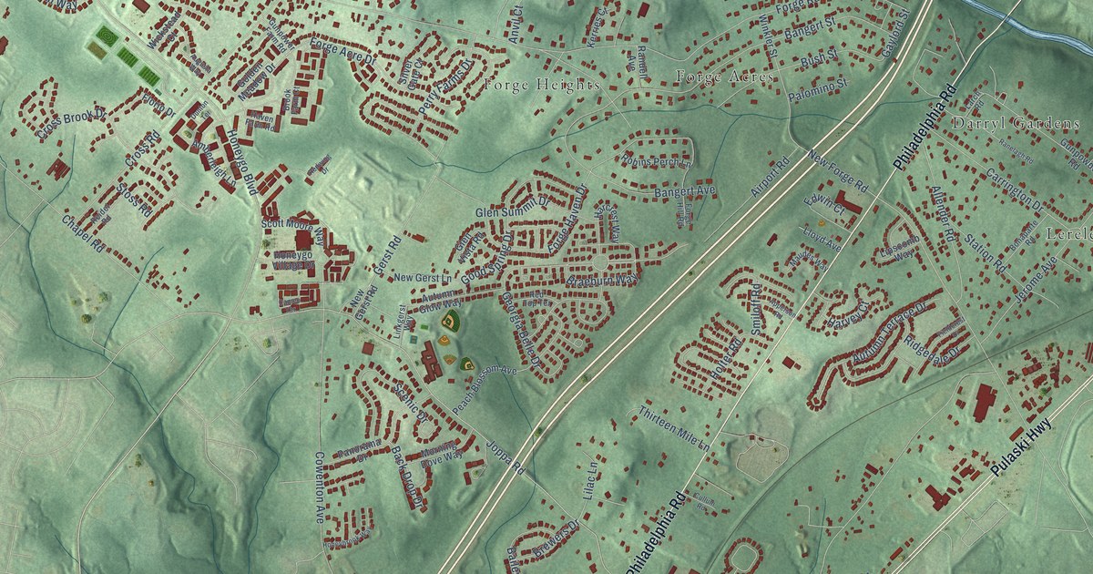
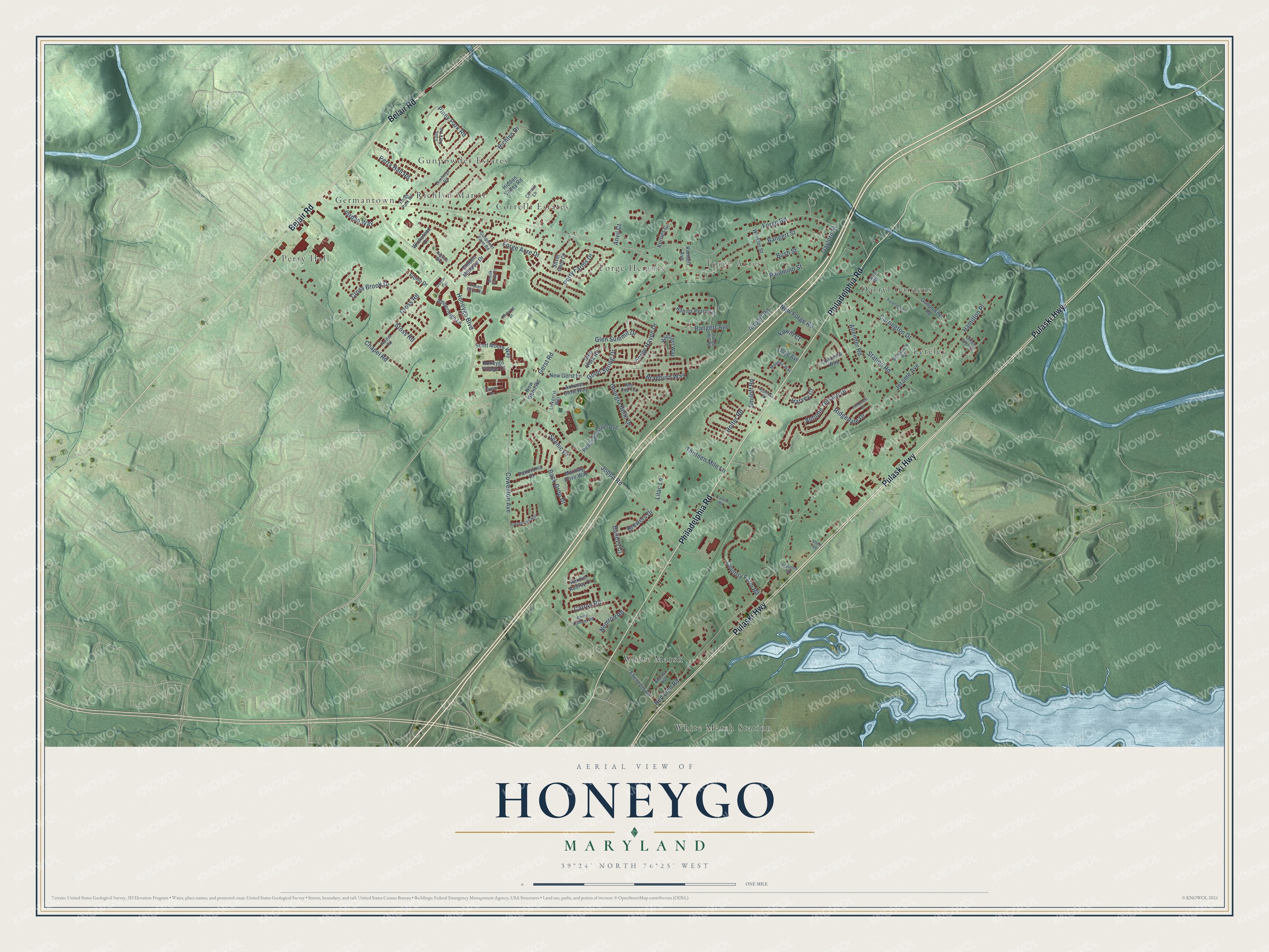
This beautifully detailed map of Honeygo, Maryland was created in 2026 using aerial imagery combined with modern topographical, census, street and landmark data. It's a modern aerial view of Honeygo in Baltimore County, Maryland, that combines modern data with a vintage aesthetic. The roads feature printed names, and if you look closely you can find your exact house accurately shown in its correct location.
Explore an aerial view of Honeygo, Maryland
On this map you'll find Forge Heights, White Marsh Station, Perry Hall, Darryl Gardens, Gunpowder Estates, Germantown, Forge Acres, Lereley, Correlli Estates, White Marsh, Richlyn Manor, Pulaski Highway, and more. Each red shape is a building, so zoom in on the preview and look for yours.
Every town has a first chapter, and Honeygo is no exception. Camp Chapel on East Joppa Road traces its roots to about 1772, when traveling Methodist preachers, among them Francis Asbury and Freeborn Garrettson, gathered woodcutters and their neighbors in a clearing in the woods. A log chapel went up there in 1809, and the frame chapel followed in 1872. The drive for a church began in 1807 among the woodcutters and workers at the Ridgely forges, and Harry Dorsey Gough of Perry Hall paid much of the cost. That's from the Maryland Historical Trust.
Honeygo is a community in Baltimore County. The Census Bureau counted 12,927 people here in 2020.
Take a closer look at the Honeygo map
Names on this map
These names are printed on this map.
Places: Forge Heights, White Marsh Station, Perry Hall, Darryl Gardens, Gunpowder Estates, Germantown, Forge Acres, Lereley, Correlli Estates, White Marsh and Richlyn Manor.
Streets and roads: Pulaski Highway, Philadelphia Road, Belair Road, Georgia Belle Drive, Joppa Road, Forge Road, Red Lion Road, Cowenton Avenue, Honeygo Boulevard, New Forge Road, Bangert Street, Chapel Road.
More street names, A to Z
Affeld Road, Airport Road, Allender Road, Amberleigh Lane, Anvil Court, Apperson Road, Augusta Way, Autumn Glow Way, Autumn Terrace Drive, Back Drop Drive, Baileys Court, Bangert Avenue, Bonaparte Road, Braeburn Way, Brewers Drive, Brook Farm Court, Bush Street, Cameo Terrace, Carrington Drive, Catron Road, Correlli Lane, Country Farm Road, Cross Brook Drive, Cross Road, Cullum Road, Dillon John Court, Dunton Terrace, Ebenezer Road, Edwin Court, Falls Park Road, Fieldcrest Drive, Florio Drive, Forge Acre Drive, Forge Haven Drive, Forge Hill Road, Forge Park Road, Gaylord Street, Gerst Road, Glen Summit Drive, Glen Vista Road, Golden Meadow Drive, Good Spring Drive, Gunforge Road, Gunpowder Road, Gunpower Farm Road, Hamilton Place, Harcrest Way, Harvey Court, Haven Farm Road, Hidden Valley Road, Holter Road, Honeybrook Way, Honeygo Village Drive, Jerome Avenue, Jordan Way, Kenzie Audrey Court, Kerries Court, Larch Road, Lilac Lane, Linkgerst Way, Lipscomb Way, Lloyd Avenue, Maudes Way, Morning Dove Way, Nemrod Road, New Gerst Lane, New Gerst Road, Palomino Street, Panorama Drive, Peach Blossom Avenue, Perry Farms Drive, Perry Hall Road, Piney Park Road, Proctor Avenue, Randell Avenue, Ranelagh Road, Red Top Terrace, Redwing Drive, Reidel Road, Richlyn Drive, Ridgedale Drive, Robins Perch Lane, Scenic Drive, Scott Moore Way, Silver Gate Court, Smiloff Road, Station Road, Stevens Road, Stoss Road, Thirteen Mile Lane, White Trillium Road, Wickstead Court, Winkler Street.
See it on a wall
The Honeygo map as a framed print. Swipe for more.


Created by KNOWOL in 2026. The buildings are small red shapes, the roads carry their printed names, and shaded relief shows the shape of the land. The title panel reads "AERIAL VIEW OF HONEYGO, MARYLAND" with 39°24' NORTH 76°25' WEST.
Hang it in the hallway, the office or the cabin, or give it to someone who left Honeygo and still calls it home. Open the preview and look for a street you know. See sizes and frames for the Honeygo map.