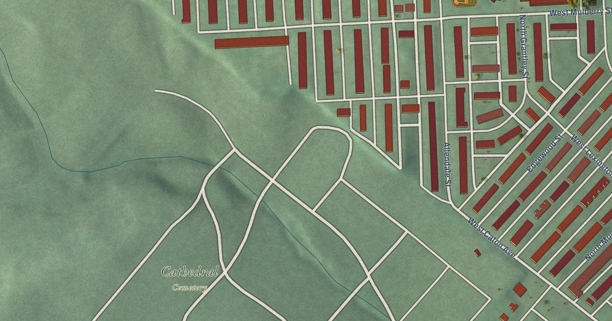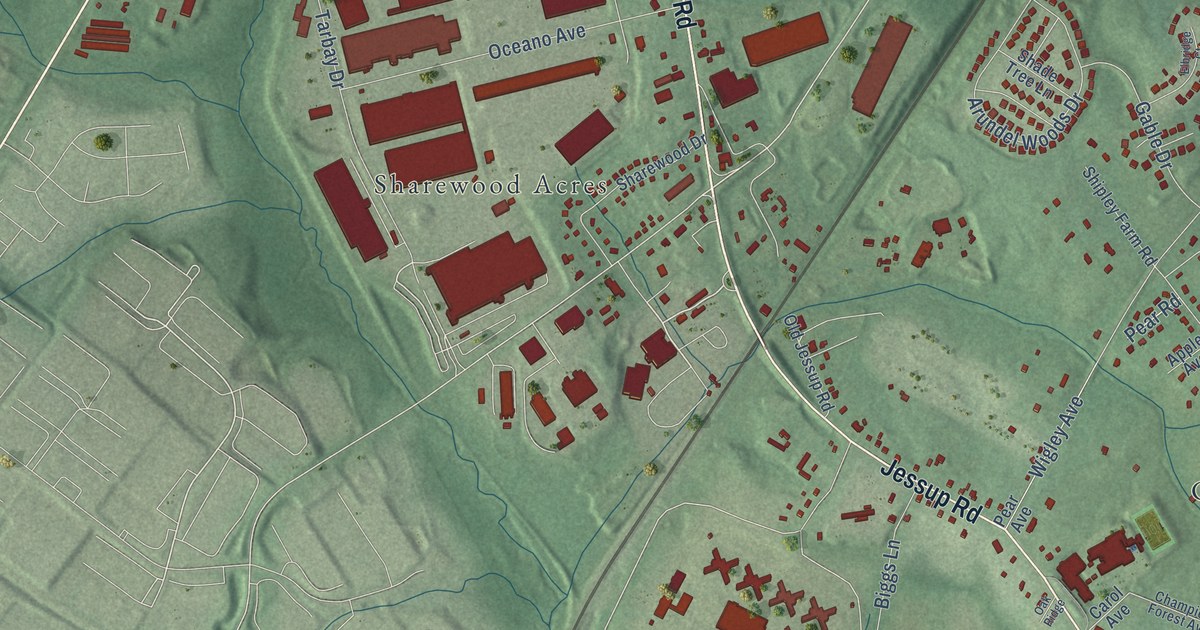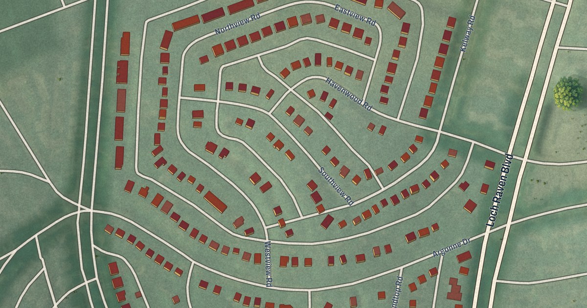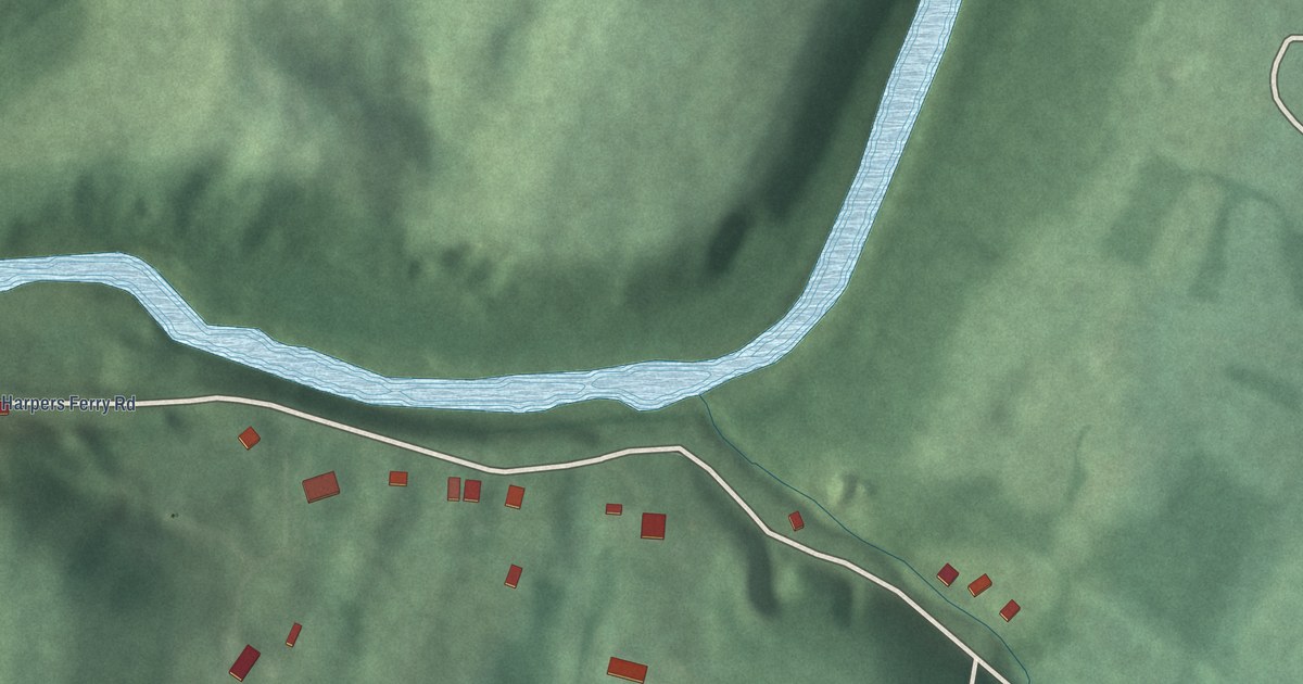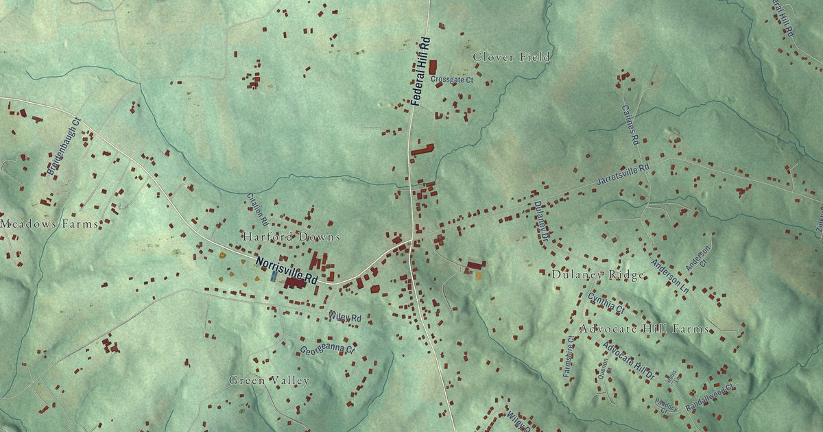
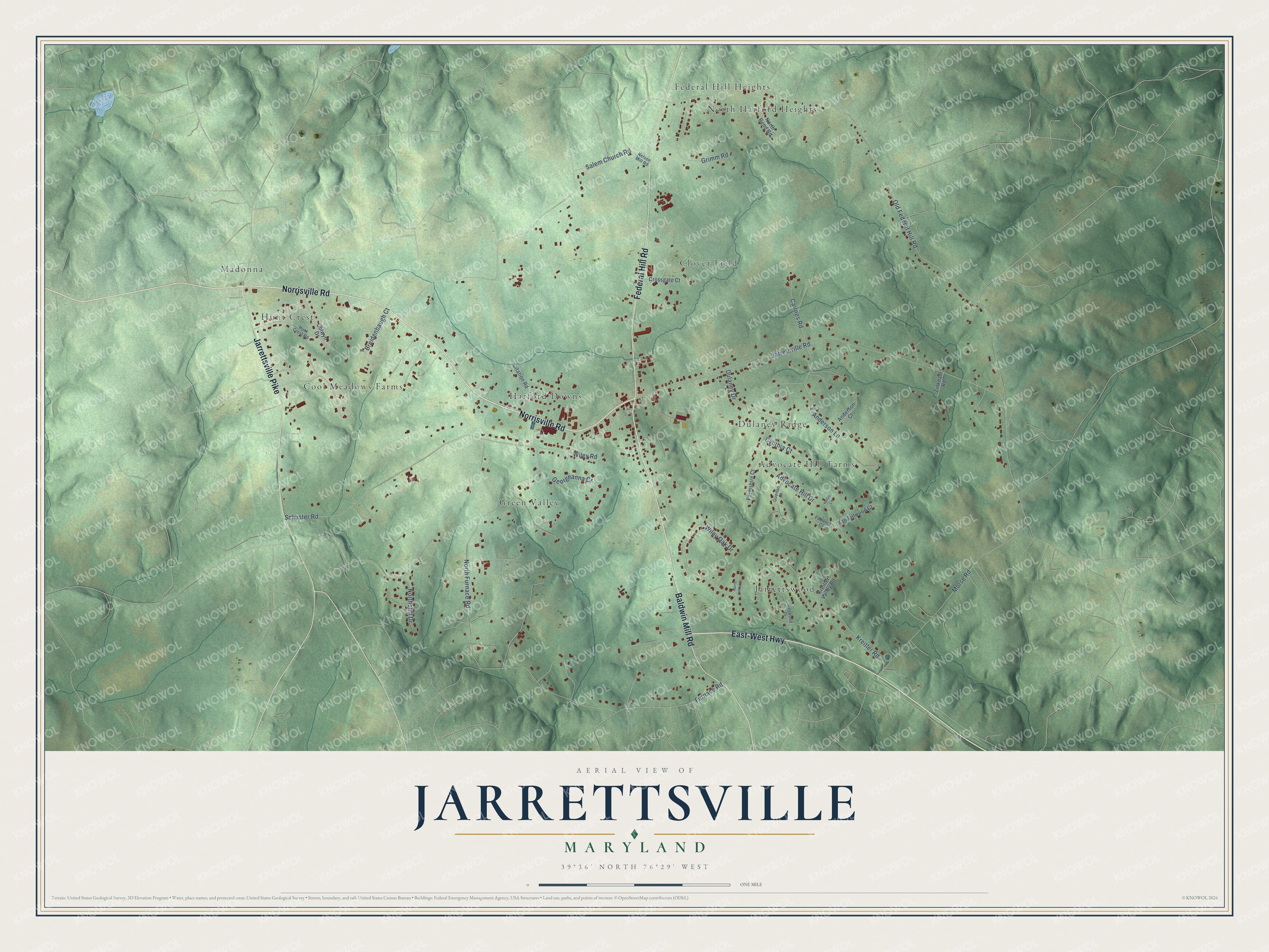
This beautifully detailed map of Jarrettsville, Maryland was created in 2026 using aerial imagery combined with modern topographical, census, street and landmark data. It's a modern aerial view of Jarrettsville in Harford County, Maryland, that combines modern data with a vintage aesthetic. The roads feature printed names, and if you look closely you can find your exact house accurately shown in its correct location.
Explore an aerial view of Jarrettsville, Maryland
On this map you'll find Harford Downs, North Harford Heights, Clover Field, Cool Meadows Farms, Jarrettswood, Advocate Hill Farms, Green Valley, Madonna, Dulaney Ridge, Federal Hill Heights, Hunt Crest, Norrisville Road, and more. Each red shape is a building, so zoom in on the preview and look for yours.
Every town has a first chapter, and Jarrettsville is no exception. The village of Jarrettsville was known as Carman's in 1826. Luther Martin Jarrett became its postmaster in 1835 and renamed the village in 1838, and Harford County historian Doug Washburn traced its story back to 1724. That's from the Historical Society of Harford County.
Jarrettsville is a community in Harford County. The Census Bureau counted 2,888 people here in 2020.
Take a closer look at the Jarrettsville map
Names on this map
These names are printed on this map.
Places: Harford Downs, North Harford Heights, Clover Field, Cool Meadows Farms, Jarrettswood, Advocate Hill Farms, Green Valley, Madonna, Dulaney Ridge, Federal Hill Heights and Hunt Crest.
Streets and roads: Norrisville Road, East-West Highway, Baldwin Mill Road, Federal Hill Road, Jarrettsville Pike, Old Federal Hill Road, Jarretsville Road, Schuster Road, Salem Church Road, Furnace Road, North Furnace Road, Morse Road.
More street names, A to Z
Advocate Hill Drive, Anderson Court, Anderson Lane, Baywood Drive, Breidenbaugh Court, Cairnes Road, Citation Road, Colwyn Drive, Crossgate Court, Cynthia Court, Dulaney Drive, Farmshire Court, Georgeanna Court, Grimm Road, Hollis Lane, Hunt Crest Road, Kreitler Road, Kreitler Valley Road, Nelson Mill Road, North Bend Road, Northcliff Drive, North Laura Court, Paddock Court, Quenon Court, Randallwood Court, Wiley Oak Drive, Wiley Road, Zinkham Road.
See it on a wall
The Jarrettsville map as a framed print. Swipe for more.


Created by KNOWOL in 2026. The buildings are small red shapes, the roads carry their printed names, and shaded relief shows the shape of the land. The title panel reads "AERIAL VIEW OF JARRETTSVILLE, MARYLAND" with 39°36' NORTH 76°29' WEST.
Hang it in the hallway, the office or the cabin, or give it to someone who left Jarrettsville and still calls it home. Open the preview and look for a street you know. See sizes and frames for the Jarrettsville map.