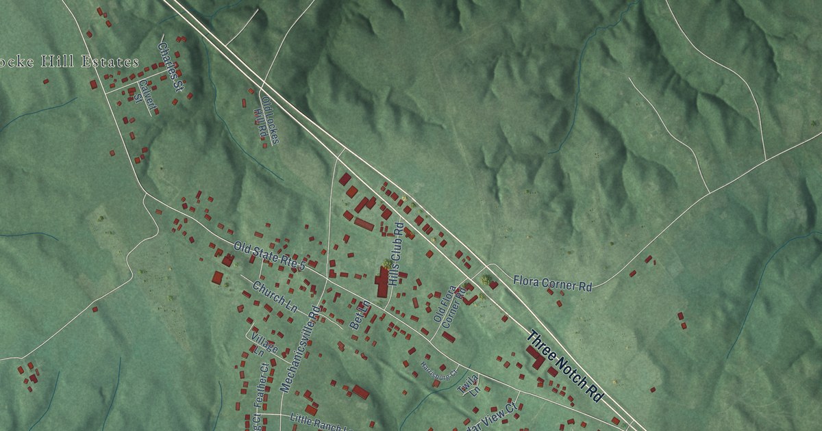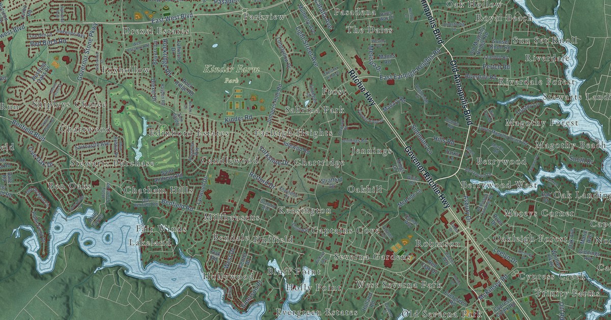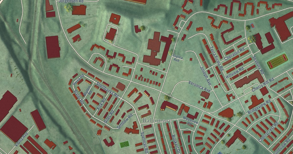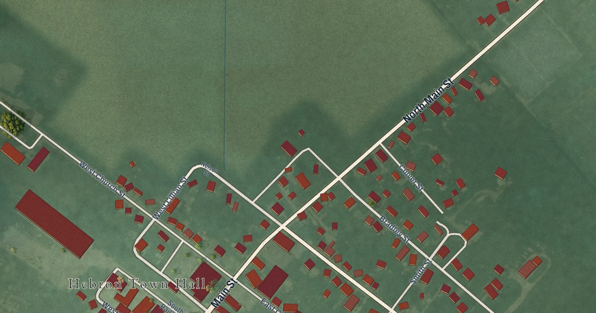
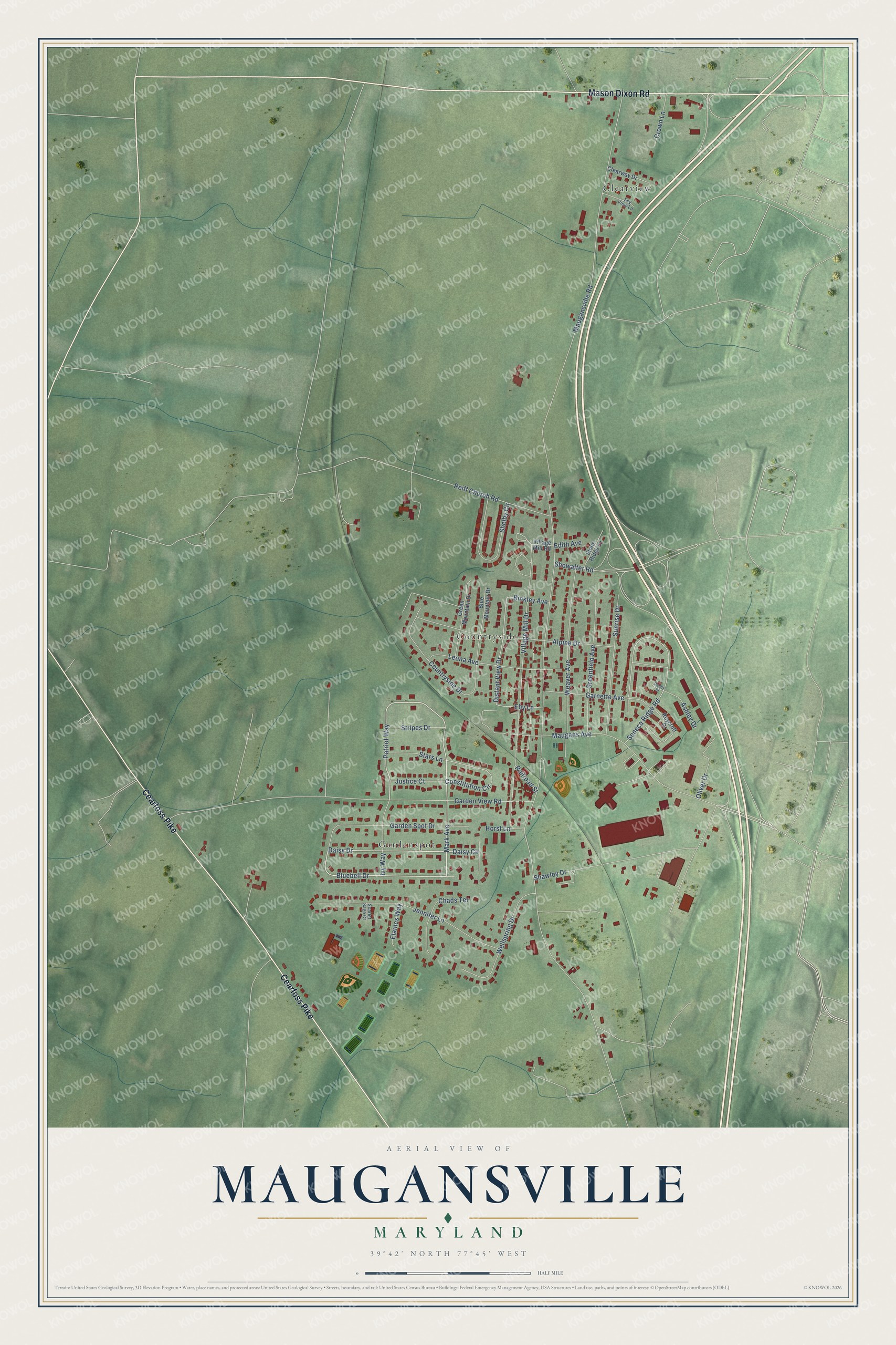
This beautifully detailed map of Maugansville, Maryland was created in 2026 using aerial imagery combined with modern topographical, census, street and landmark data. It's a modern aerial view of Maugansville in Washington County, Maryland, that combines modern data with a vintage aesthetic. The roads feature printed names, and if you look closely you can find your exact house accurately shown in its correct location.
Explore an aerial view of Maugansville, Maryland
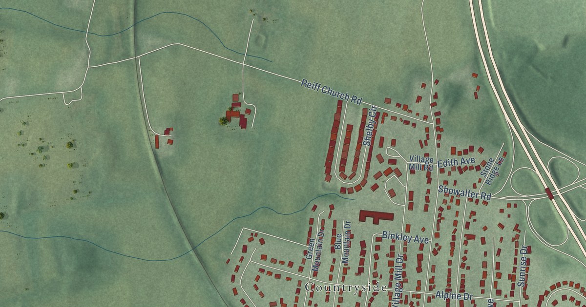
On this map you'll find Countryside, Clearview, Gardenspot, Cearfoss Pike, Mason Dixon Road, Patriot Way, Bluebell Drive, Daisy Drive, Mark Avenue, Daisy Circle, Maugans Avenue, Distant View Drive, and more. Each red shape is a building, so zoom in on the preview and look for yours.
Every town has a first chapter, and Maugansville is no exception. By tradition, Maugansville was settled in the 1820s by the Maugans family, of German and Scottish descent. It grew into the village serving the Mennonite farm families who came from Lancaster County, Pennsylvania, in the mid-1800s, and it grew again after the Cumberland Valley Railroad arrived. Mennonites preferred to build their churches out among their farms. So the old village had no churches, taverns or fraternal lodges, which made it unique in Washington County. That's from the Maryland Historical Trust.
Maugansville is a community in Washington County. The Census Bureau counted 3,669 people here in 2020. Maugansville sits about 2 miles east of Cearfoss, 2 miles west of Fountainhead-Orchard Hills and 2 miles southwest of Middleburg. The map prints the town name in its title panel, with the coordinates below it.
Take a closer look at the Maugansville map
Names on this map
These names are printed on this map.
Places: Countryside, Clearview and Gardenspot.
Streets and roads: Cearfoss Pike, Mason Dixon Road, Patriot Way, Bluebell Drive, Daisy Drive, Mark Avenue, Daisy Circle, Maugans Avenue, Distant View Drive, Seneca Ridge Road, Showalter Road, Constitution Circle.
More street names, A to Z
Alpine Drive, Ashley Drive, Binkley Avenue, Blue Mountain Drive, Chads Terrace, Clearway Drive, Countryside Drive, Crown Lane, Danby Place, Eby Lane, Edith Avenue, Elaines Way, Garden Spot Drive, Garden View Road, Garnette Avenue, Greenfield Avenue, Green Mountain Drive, Horst Lane, Ivy Way, Jennifer Lane, Justice Court, Leona Avenue, Maugansville Road, Oliver Drive, Railroad Street, Reiff Church Road, Roycroft Drive, Scarlet Sage Court, Shawley Drive, Shelby Circle, Sky View Lane, Stars Lane, Stone Ridge Lane, Stripes Drive, Sunrise Drive, Village Mill Drive, Village Mill Road, Weaver Avenue, Wellspring Drive.
See it on a wall
The Maugansville map as a framed print. Swipe for more.


Created by KNOWOL in 2026. The buildings are small red shapes, the roads carry their printed names, and shaded relief shows the shape of the land. The title panel reads "AERIAL VIEW OF MAUGANSVILLE, MARYLAND" with 39°42' NORTH 77°45' WEST.
Hang it in the hallway, the office or the cabin, or give it to someone who left Maugansville and still calls it home. Open the preview and look for a street you know. See sizes and frames for the Maugansville map.