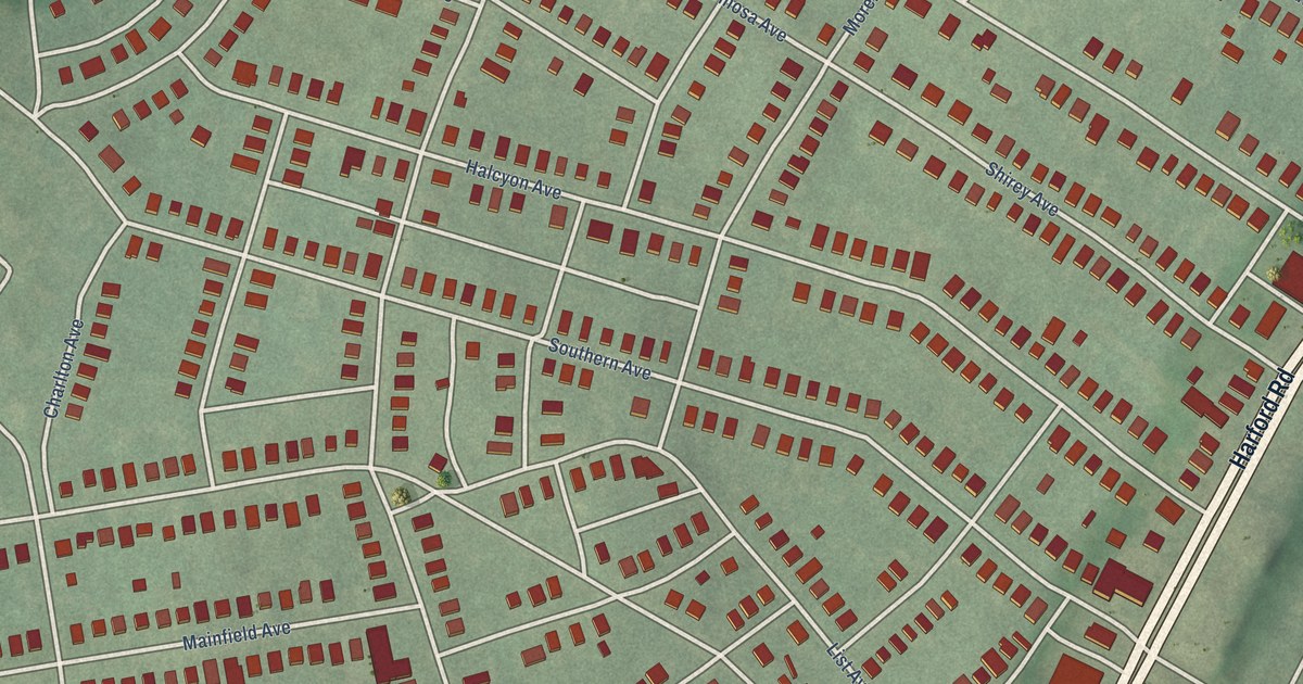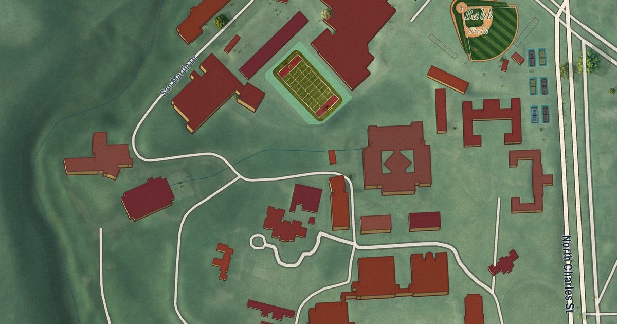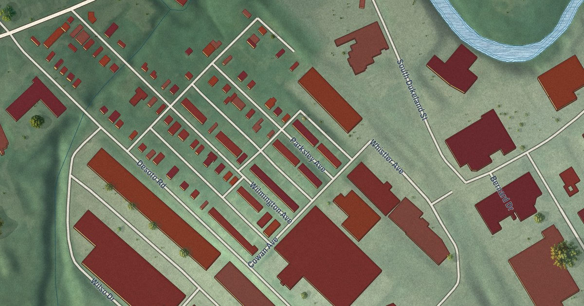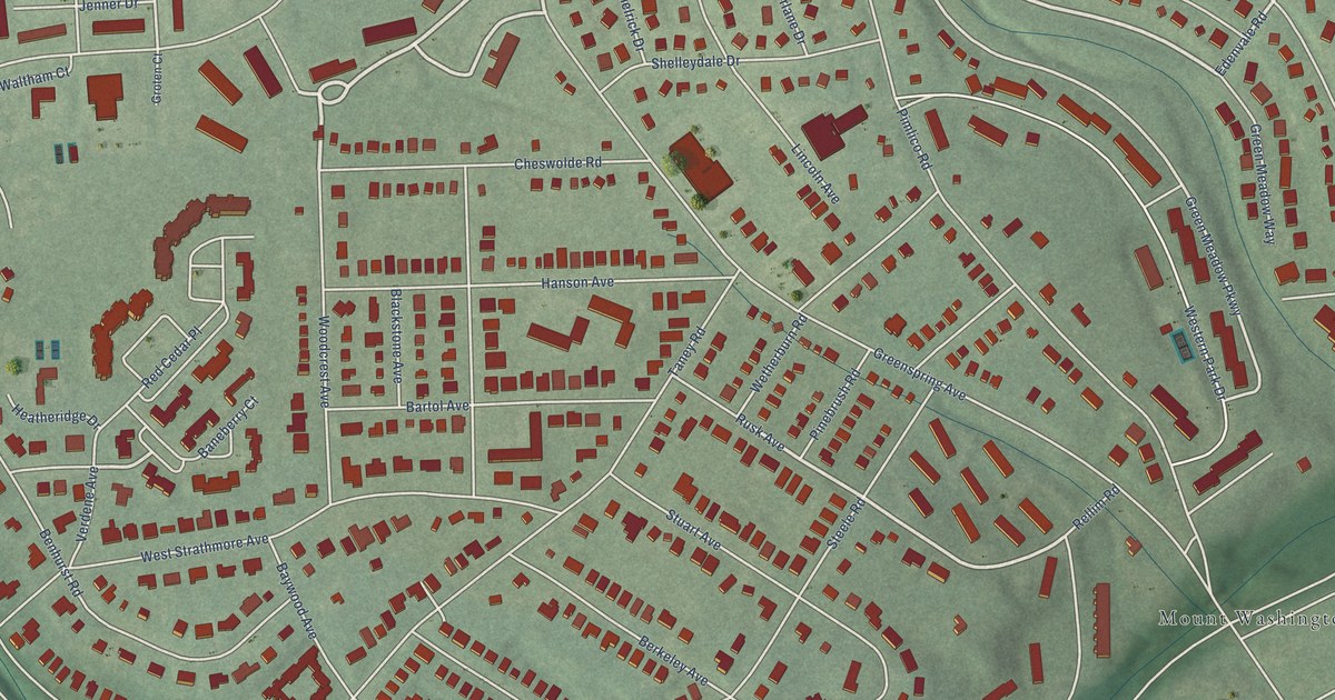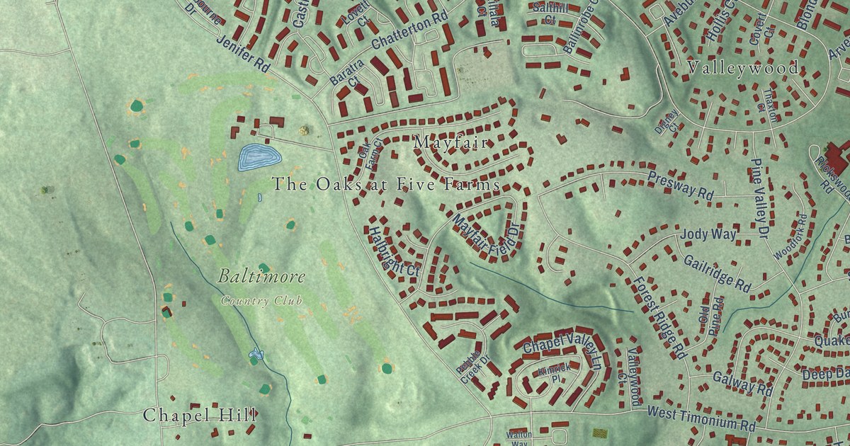
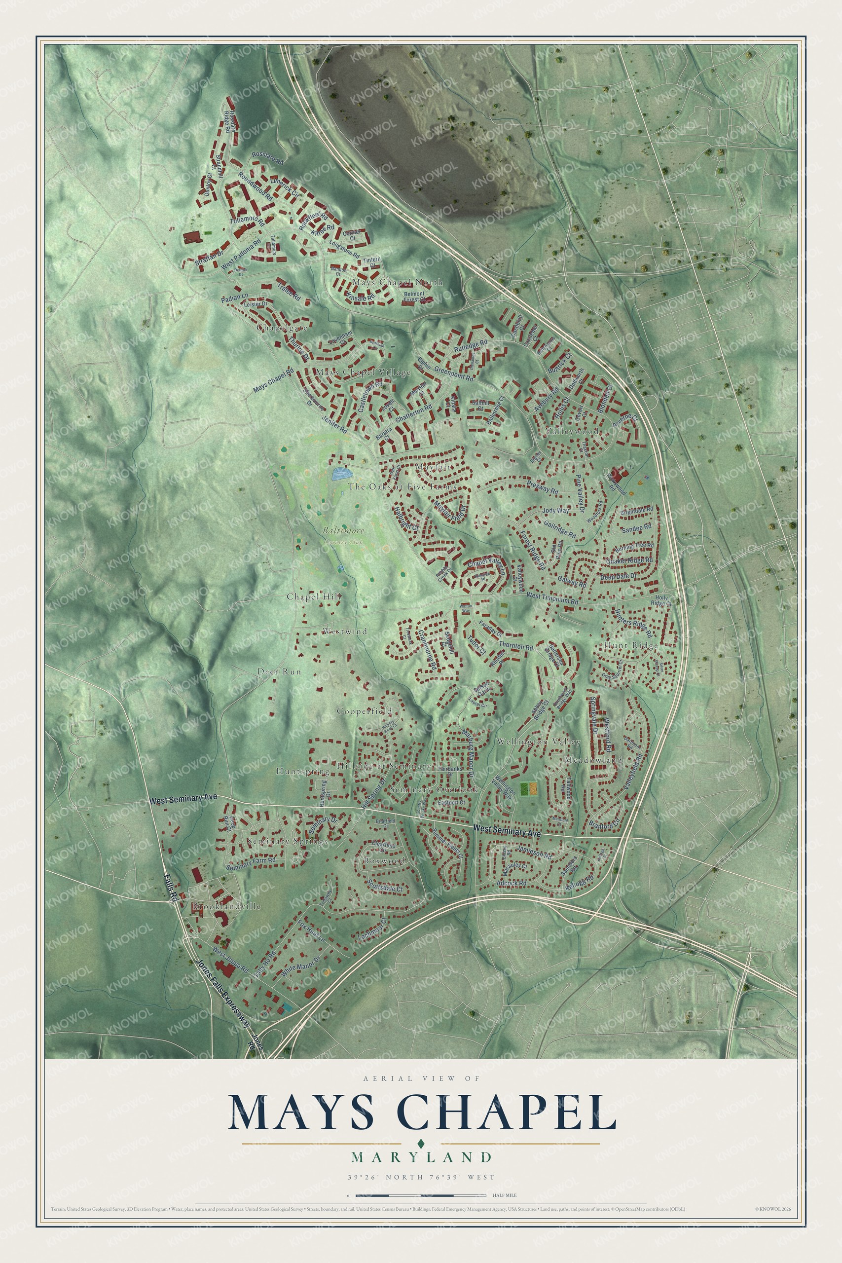
This beautifully detailed map of Mays Chapel, Maryland was created in 2026 using aerial imagery combined with modern topographical, census, street and landmark data. It's a modern aerial view of Mays Chapel in Baltimore County, Maryland, that combines modern data with a vintage aesthetic. The roads feature printed names, and if you look closely you can find your exact house accurately shown in its correct location.
Explore an aerial view of Mays Chapel, Maryland
On this map you'll find Baltimore Country Club, Brooklandville, Mays Chapel North, Hillside at Seminary, Meadowland, Seminary Springs, Mayfair, Valleywood, Hunt Ridge, Chapelgate, Westwind, Deer Run, and more. Each red shape is a building, so zoom in on the preview and look for yours.
Mays Chapel is a community in Baltimore County. The Census Bureau counted 12,224 people here in 2020. The map prints the town name in its title panel, with the coordinates below it.
Take a closer look at the Mays Chapel map
Names on this map
These names are printed on this map.
Places: Baltimore Country Club, Brooklandville, Mays Chapel North, Hillside at Seminary, Meadowland, Seminary Springs, Mayfair, Valleywood, Hunt Ridge, Chapelgate, Westwind, Deer Run, Wellington Valley, Huntspring, Boxwood, Mays Chapel Village, Cooperfield, The Oaks at Five Farms, Seminary Overlook and Chapel Hill.
Streets and roads: Falls Road, West Seminary Avenue, Jones Falls Expressway, West Joppa Road, Thornton Road, Rockfleet Road, Mays Chapel Road, Jenifer Road, West Padonia Road, West Timonium Road, Tally Ho Road, Rutledge Road.
More street names, A to Z
Abbey Bridge Court, Adcock Road, Arverne Court, Avebury Road, Ballinrobe Court, Ballyhaunis Court, Bandon Court, Baratra Court, Battersea Bridge Court, Belmont Forest Court, Blondell Court, Branford Circle, Briarfield Court, Brightdale Road, Budleigh Circle, Burning Tree Road, Buttrick Court, Castlebar Court, Castlehill Court, Castletown Road, Chapel Valley Lane, Chatterton Road, Clearfield Circle, Cormer Court, Country Brooke Way, Covert Court, Cranbourne Road, Dartmoor Road, Deep Dale Drive, Deep Run Court, Digney Court, Dodworth Court, Doolan Court, Dunloy Court, Eastport Court, Ellison Road, Elphin Court, Fairbanks Drive, Faraday Drive, Forest Ridge Road, Fox Hunt Lane, Gailridge Road, Galway Road, Glenamoy Court, Gray Squirrel Court, Greenpoint Road, Halbright Court, Hickory Knoll Court, Hill Spring Drive, Hollis Court, Holly Ridge Court, Hunters Ridge Road, Huntspring Drive, Jamieson Road, Jody Way, Jones Road, Kellogg Court, Kellogg Road, Killala Court, Kilree Road, Kimrick Place, Kinsale Road, Laurel Circle, Lavenham Court, Leister Drive, Limerick Circle, Lochmoor Court, Longstone Road, Lovett Court, Macauley Court, Marburg Manor Drive, Mayfair Field Drive, Merrion Court, Muirfield Court, Oak Farm Court, Old Pine Road, Padian Lane, Pebble Creek Drive, Pine Valley Drive, Presway Road, Quaker Ridge Road, Rhodes Place, Rickswood Road, Rosslare Ridge Road, Rosslare Road, Roundwood Road, Salthill Court, Sandee Road, Saunders Road, Scottsdale Court, Sedgehill Court, Selsed Garth, Seminary Drive, Seminary Farm Road, Sherbourne Drive, Silver Stirrup Court, Southwark Bridge Way, Springvale Drive, Straffan Drive, Strandhill Court, Summer Fields Court, Tallwood Road, Thaxton Court, Thurloe Drive, Tintern Court, Tralee Road, Trelawny Court, Troutbeck Court, Tudor Court, Tullamore Court, Tullamore Road, Valleyfield Road, Valleywood Court, Walton Way, Wellington Valley Way, Westford Road, White Manor Drive, Woodfork Road.
See it on a wall
The Mays Chapel map as a framed print. Swipe for more.


Created by KNOWOL in 2026. The buildings are small red shapes, the roads carry their printed names, and shaded relief shows the shape of the land. The title panel reads "AERIAL VIEW OF MAYS CHAPEL, MARYLAND" with 39°26' NORTH 76°39' WEST.
It suits a den, a classroom or a front hall, and it makes a gift for anyone with Mays Chapel roots. Open the preview and find the block you know. See sizes and frames for the Mays Chapel map.