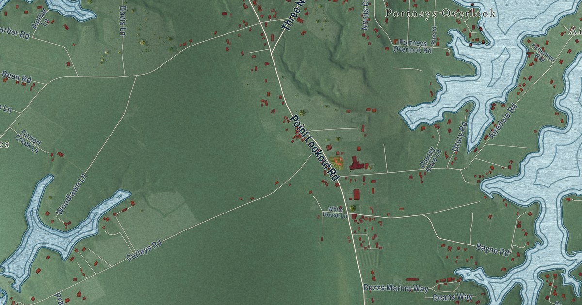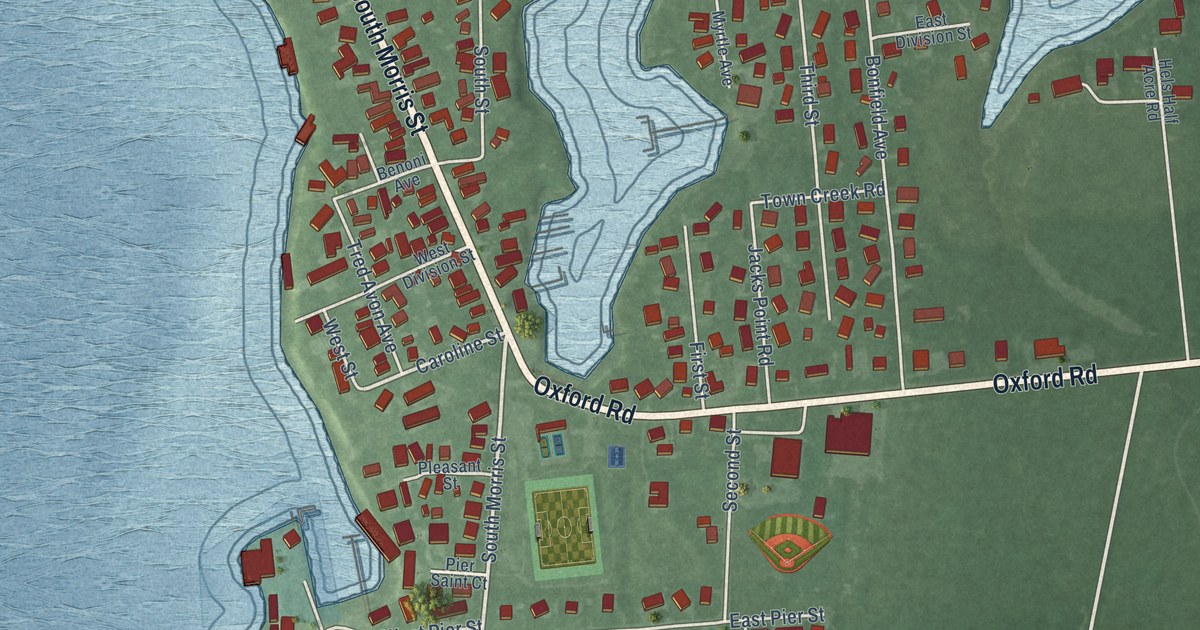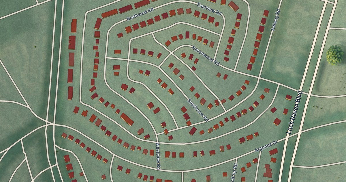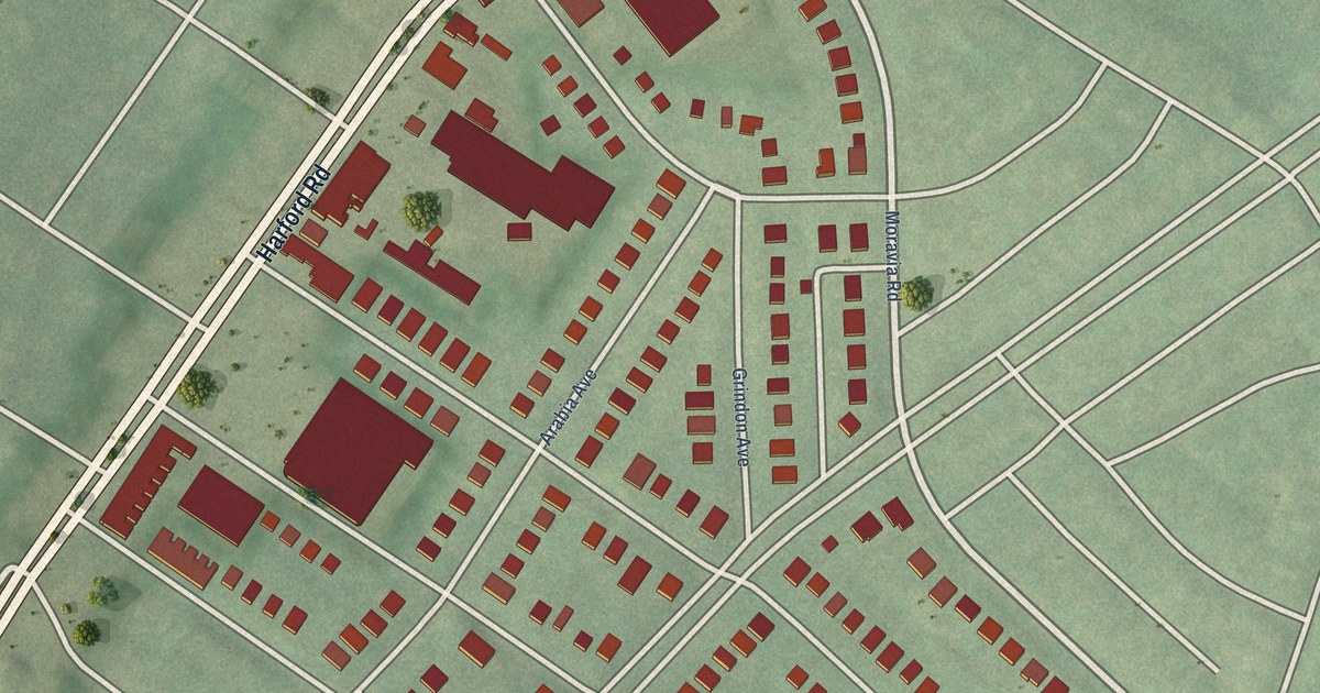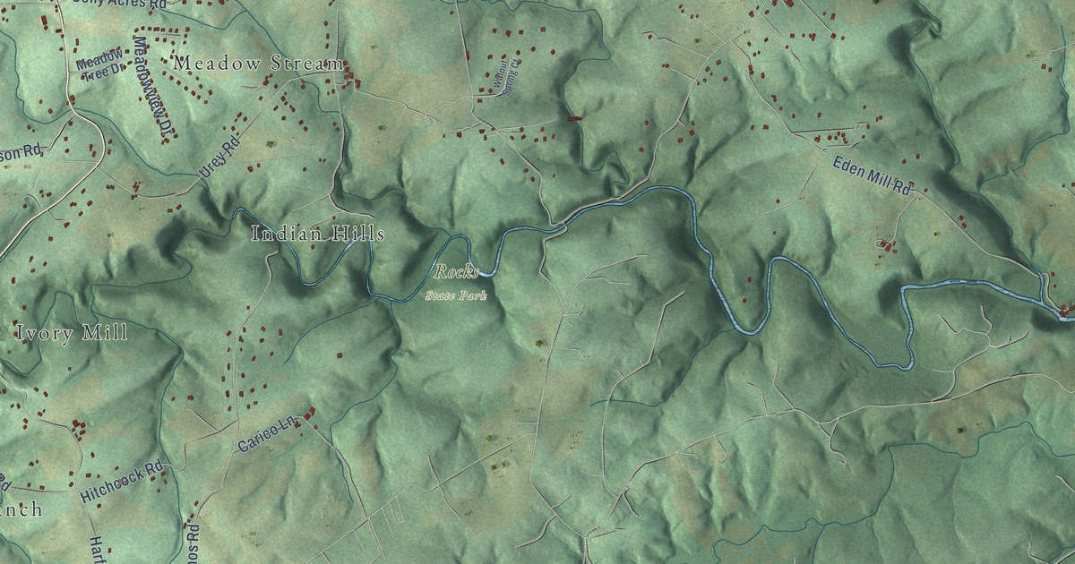
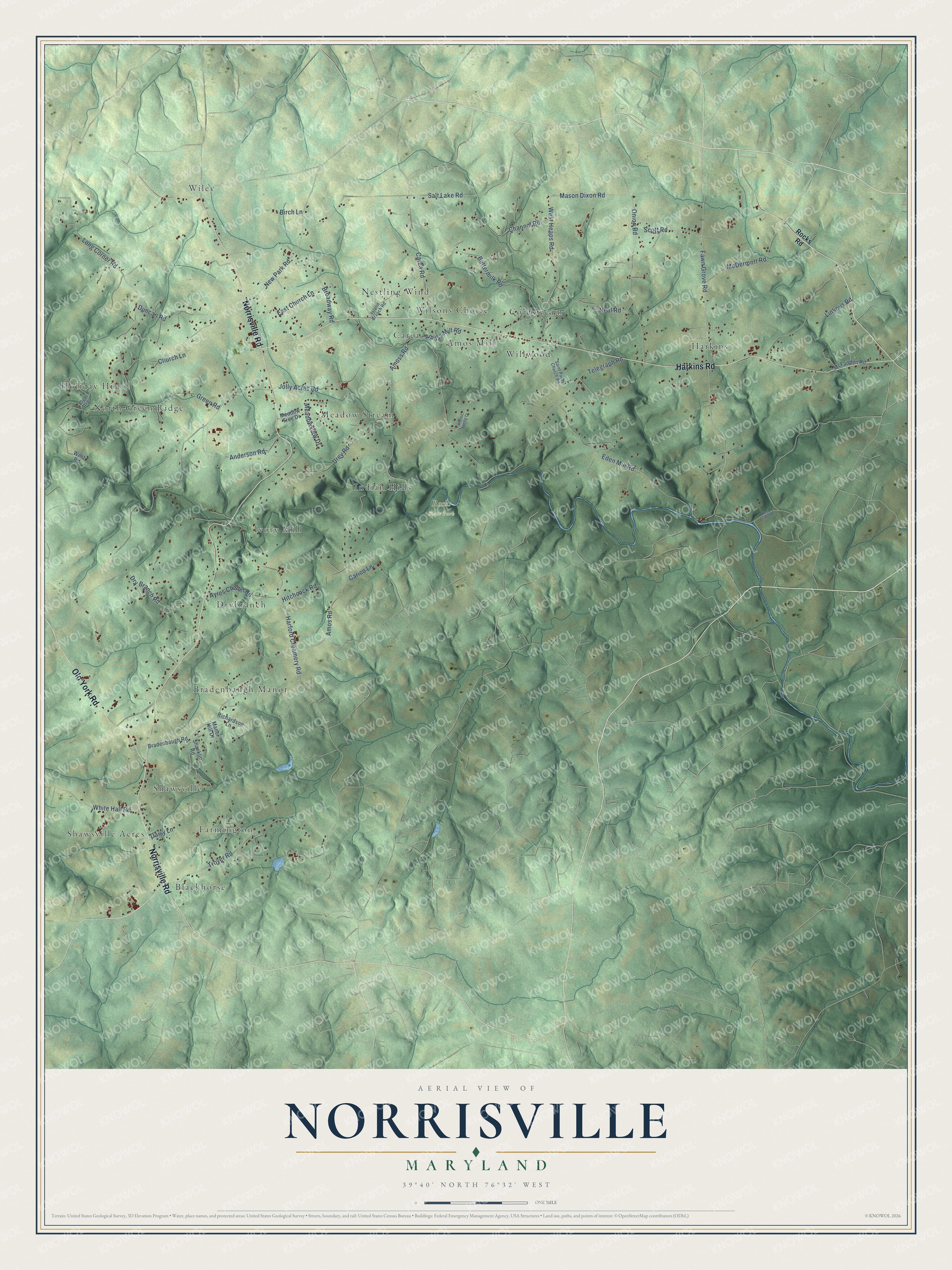
This beautifully detailed map of Norrisville, Maryland was created in 2026 using aerial imagery combined with modern topographical, census, street and landmark data. It’s a one-of-a-kind view of Norrisville that combines accurate data with a vintage aesthetic. The map shows every building in its true location, many of the roads carry their names, and the shaded topographic relief shows the shape of the land.
Explore an aerial view of Norrisville, Maryland
On the map you’ll find Rocks State Park, Blackhorse, Drybranch, Wiley, Willwood, Holiday Hills, Harkins, Ivory Mill, Farmington, Meadow Stream, Carea, Bradenbaugh Manor, and more. If you look closely you can even find your house accurately drawn in its correct location. Zoom in on the preview to look for yours.
Take a closer look at the Norrisville map
Names on this map
These names are printed on this map.
Places: Rocks State Park, Blackhorse, Drybranch, Wiley, Willwood, Holiday Hills, Harkins, Ivory Mill, Farmington, Meadow Stream, Carea, Bradenbaugh Manor, Shawsville Acres, Wilsons Choice, Shawsville, Indian Hills, Nestling Wind, North Green Ridge, Coldstream and Amos Mill.
Streets and roads: Norrisville Road, Harkins Road, Old York Road, Fawn Grove Road, Mason Dixon Road, West Heaps Road, Carea Road, New Park Road, Amoss Road, East Church Lane, Jolly Acres Road, Amos Road.
More street names, A to Z
Amoss Mill Road, Anderson Road, Ayres Chapel Road, Birch Lane, Bradenbaugh Road, Broadway Road, Buttermilk Road, Carico Lane, Channel Road, Church Lane, Daisy Lane, Deer Trail, Dry Branch Road, Duncan Road, Eden Mill Road, Green Road, Harford Creamery Road, Hitchcock Road, Island Branch Road, Linkous Road, Long Corner Road, Manor Hill Drive, McDermott Road, McFadden Road, Meadow Tree Drive, Meadowview Drive, Neal Road, Onion Road, Red Bridge Road, Richardson Lane, Rocks Road, Saint Pauls Church Road, Salt Lake Road, Scott Road, Shanklin Road, Telegraph Road, Troyer Road, Urey Road, Walnut Spring Court, West Road, White Hall Road.
See it on a wall
The Norrisville map as a framed print. Swipe for more.


This beautifully detailed map of Norrisville makes an attractive addition to your office, library, or den, and it can even be used to teach children the geography and history of the area. It also makes a great gift for anyone with Norrisville roots. When you’re done exploring, click here to get your copy of the Norrisville map.