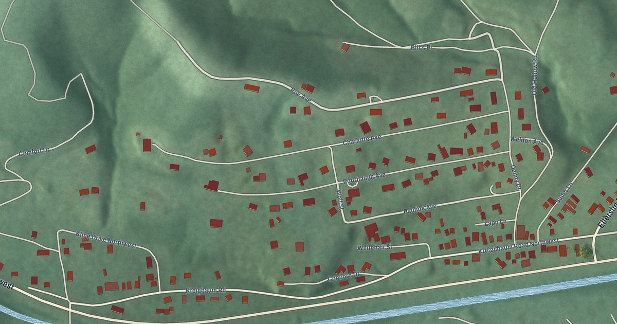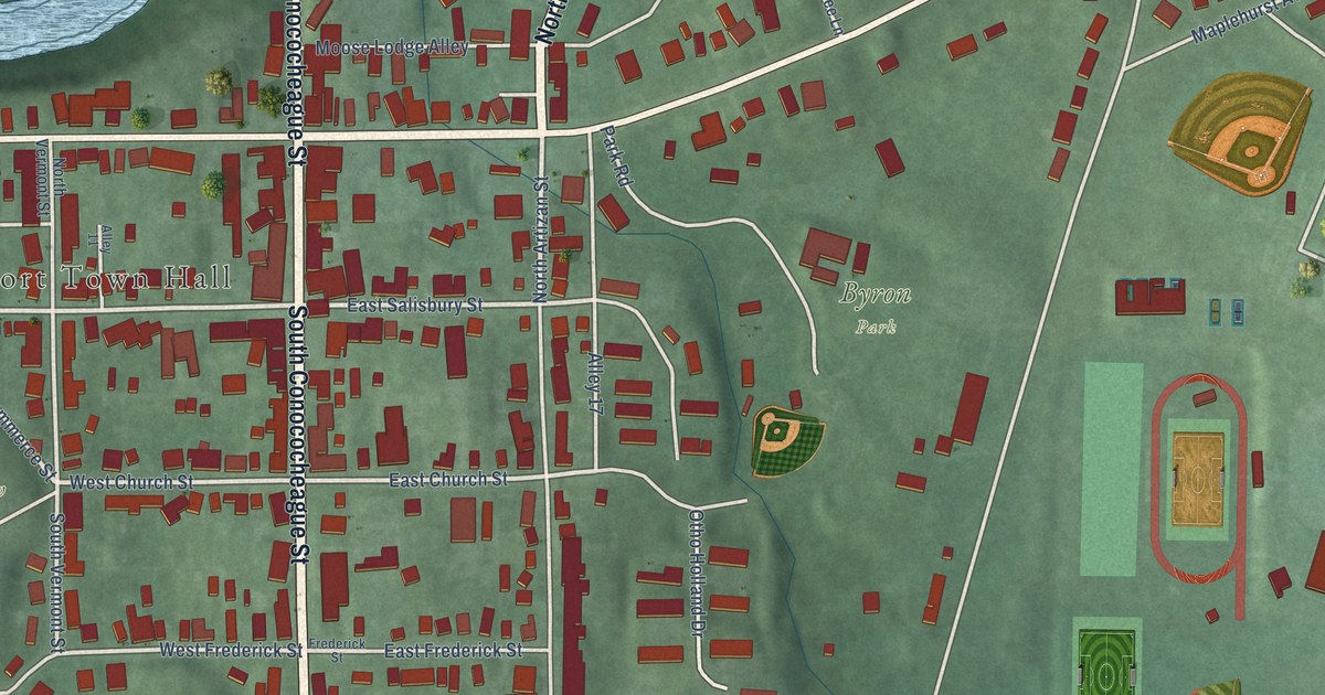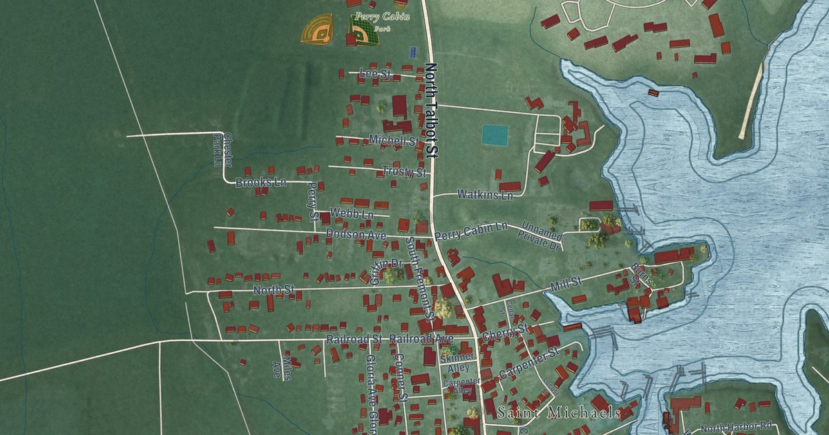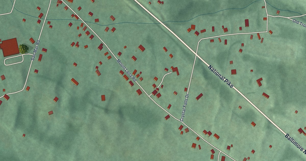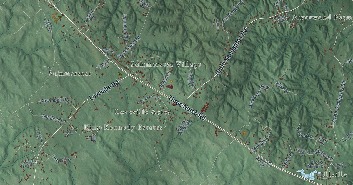
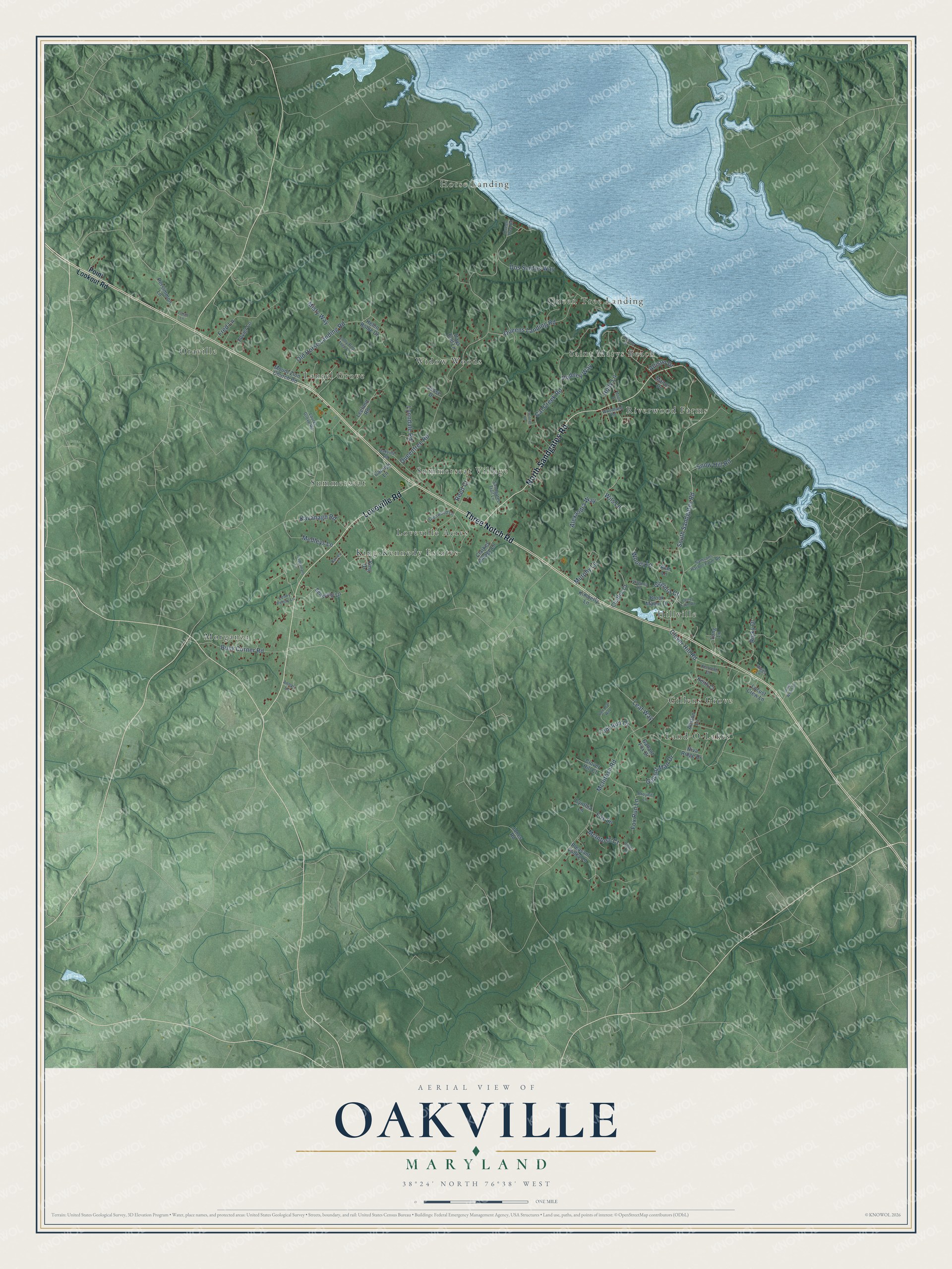
This beautifully detailed map of Oakville, Maryland was created in 2026 using aerial imagery combined with modern topographical, census, street and landmark data. It’s a one-of-a-kind view of Oakville that combines accurate data with a vintage aesthetic. The map shows every building in its true location, many of the roads carry their names, and the shaded topographic relief shows the shape of the land.
Explore an aerial view of Oakville, Maryland
On the map you’ll find Summerseat Village, Horse Landing, Morganza, Land-O-Lakes, Riverwood Farms, Oraville, King-Kennedy Estates, Widow Woods, Hillville, Queen Tree Landing, Saint Marys Beach, Laurel Grove, and more. If you look closely you can even find your house accurately drawn in its correct location. Zoom in on the preview to look for yours.
Take a closer look at the Oakville map
Names on this map
These names are printed on this map.
Places: Summerseat Village, Horse Landing, Morganza, Land-O-Lakes, Riverwood Farms, Oraville, King-Kennedy Estates, Widow Woods, Hillville, Queen Tree Landing, Saint Marys Beach, Laurel Grove, Loveville Acres, Gillens Grove and Summerseat.
Streets and roads: Three Notch Road, North Sandgates Road, Loveville Road, South Sandgates Road, Clover Hill Road, Queentree Road, McIntosh Road, Cat Creek Road, Old Horse Landing Road, Alexandra Way, Queens Landing Road, Fred Lane.
More street names, A to Z
Alan Lane, Allison Drive, Allston Lane, Annas Lane, Barnes Court, Brook Manor Drive, Broyhill Lane, Busy Corner Road, Carolyn Lane, Chaffee Court, Cider Lane, Clarkes Village Lane, Clover Hill Court, Cynthia Lane, Days End Lane, Dos Santos Way, Fox Lane, Fox Run Lane, Frontier Lane, Gallant Fox Drive, Gallant Man Drive, Glenwood Lane, Helen Bohle Drive, Higgs Lane, Holly Lane, Jesse Drive, Jones Road, Jones Wharf Road, Kavanagh Road, Keith Court, Kenneth Court, Kimberly Lane, King Drive, Laurel Farm Road, Laurel Grove Road, Leaf Way, Leeland Road, Lenny Penny Lane, Locust Crew Lane, Lolly Pop Tree Lane, Long Lane, Longs Lane, Lynndale Road, Manor Drive, Maple Drive, McIntosh Court, Medleys Lane, Misty Way, Mount Zion Church Road, Murphy Lane, Oakville Road, Patuxent Drive, Persimmon Lane, Pleasant Valley Lane, Point Lookout Road, Queen Tree Road, Red Leaf Way, Reed Court, Ricky Drive, Riva Ridge Drive, Rodney Way, Samsons Harbor Farm Road, Sandgates Trail Lane, Sensenig Lane, Snow Hill Road, Tom Run Court, Tradesmans Lane, Virginia Court, Virginia Lane, Wils Lane, Woodland Road, Woody Lane, Xavier Lane.
See it on a wall
The Oakville map as a framed print. Swipe for more.


This beautifully detailed map of Oakville makes an attractive addition to your office, library, or den, and it can even be used to teach children the geography and history of the area. It also makes a great gift for anyone who grew up in Oakville or moved away. When you’re done exploring, click here to get your copy of the Oakville map.