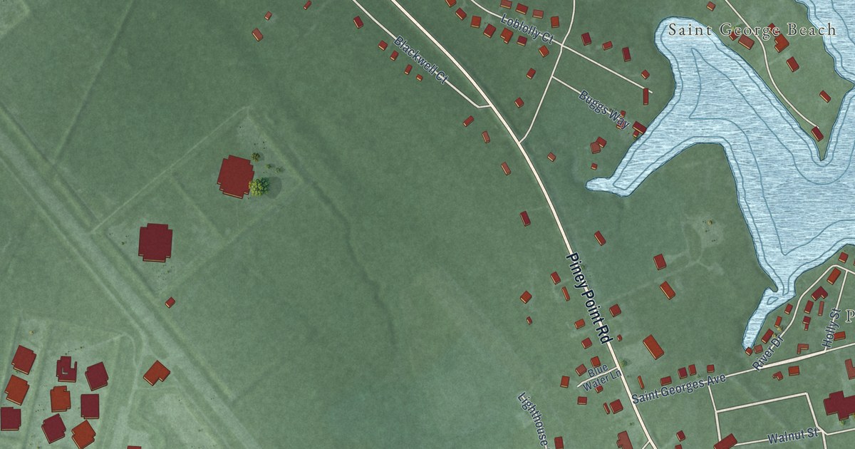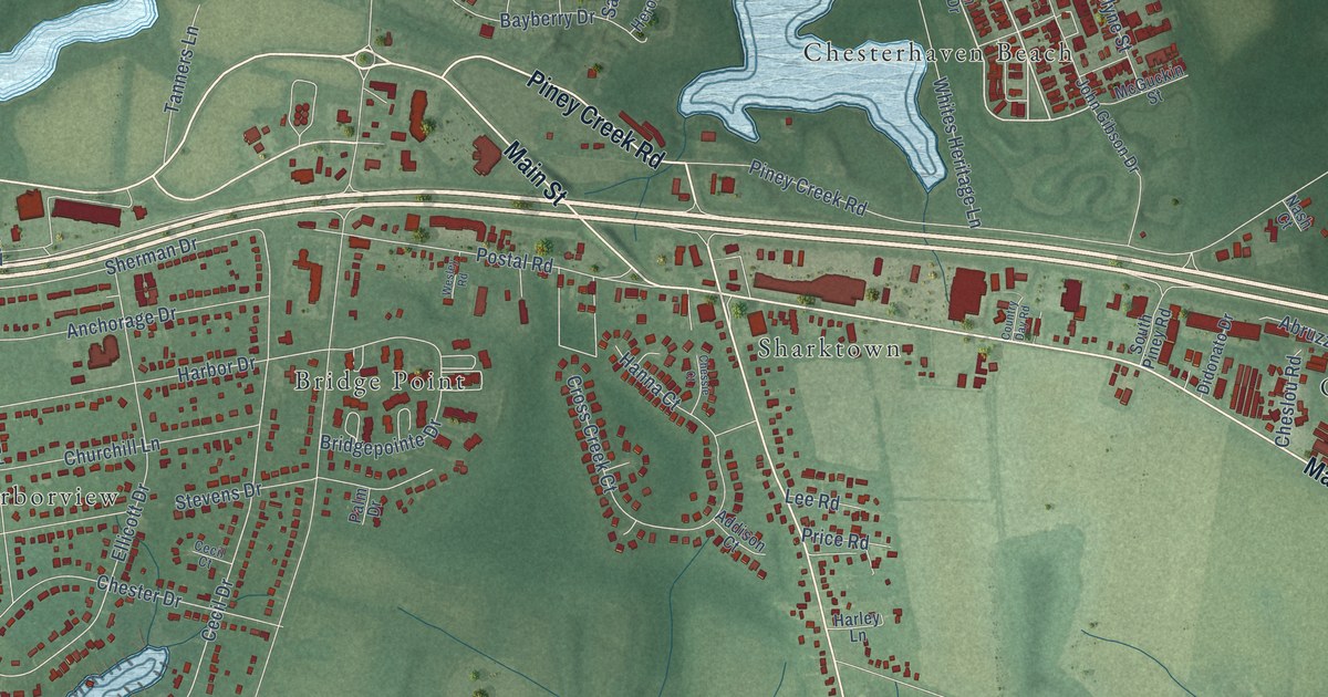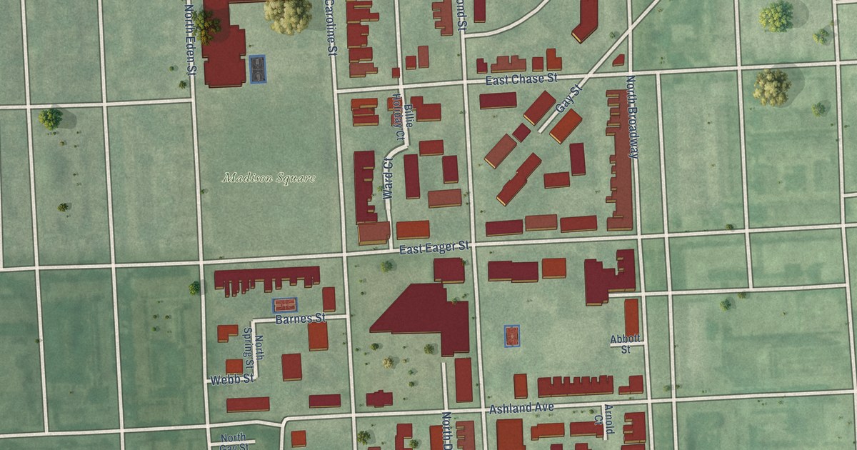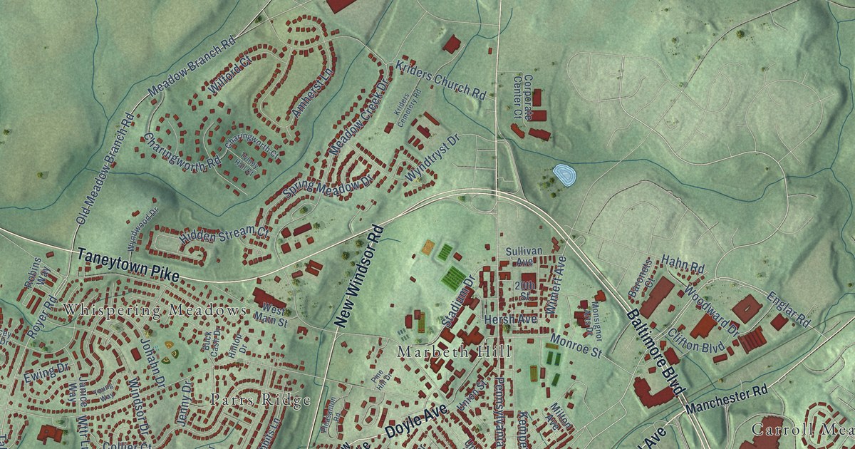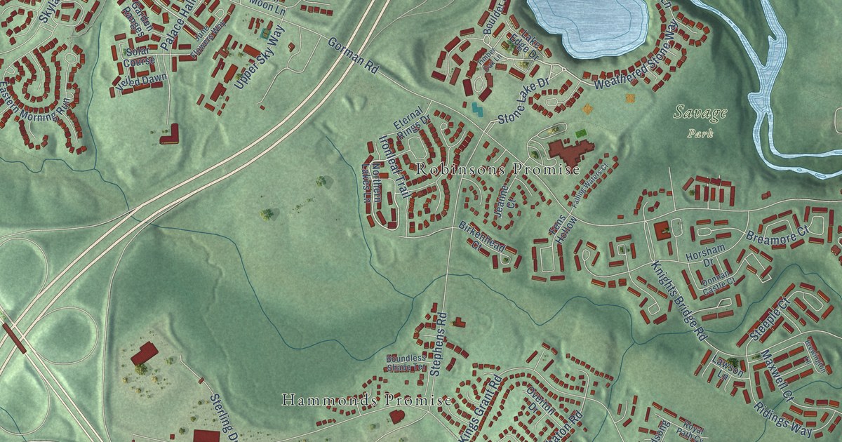
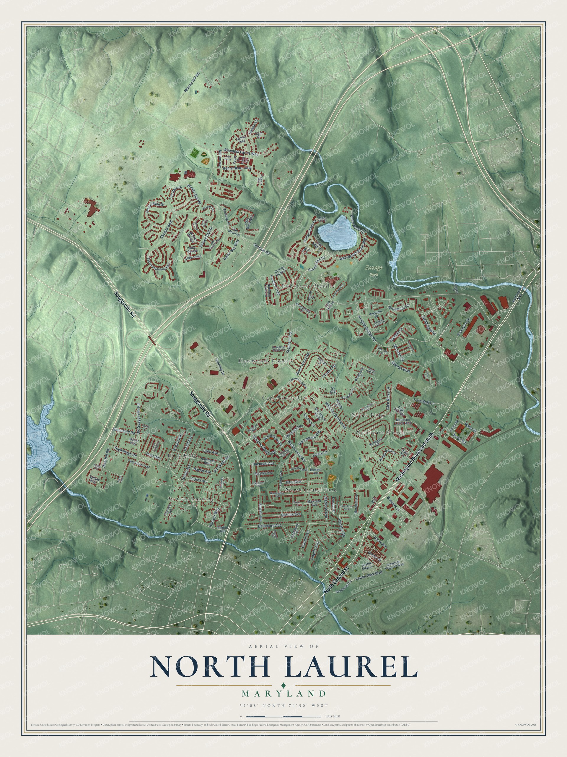
This beautifully detailed map of North Laurel, Maryland was created in 2026 using aerial imagery combined with modern topographical, census, street and landmark data. It's a modern aerial view of North Laurel in Howard County, Maryland, that combines modern data with a vintage aesthetic. The roads feature printed names, and if you look closely you can find your exact house accurately shown in its correct location.
Explore an aerial view of North Laurel, Maryland
On this map you'll find Savage Park, Settlers Landing, Northgate Woods, North Laurel Park, Hammonds Promise, Robinsons Promise, High Ridge, Canterbury Riding, North Ridge, Scaggsville Road, Washington Boulevard North, North Second Street, and more. Each red shape is a building, so zoom in on the preview and look for yours.
Here is a piece of North Laurel history. Around 1870, Thomas Waters, a Black laborer, built his own house on Harmony Lane, about a mile and a quarter north of Laurel. Its side passage gave the family a privacy that most workers' homes of the day lacked. The lot came with one of Howard County's early deed rules: no intoxicating drinks could be made or sold there. That's from the Maryland Historical Trust.
North Laurel is a community in Howard County. The Census Bureau counted 25,379 people here in 2020.
Take a closer look at the North Laurel map
Names on this map
These names are printed on this map.
Places: Savage Park, Settlers Landing, Northgate Woods, North Laurel Park, Hammonds Promise, Robinsons Promise, High Ridge, Canterbury Riding and North Ridge.
Streets and roads: Scaggsville Road, Washington Boulevard North, North Second Street, Stone Lake Drive, Weathered Stone Way, Laurel Park Boulevard, All Saints Road, Gorman Road, Whiskey Bottom Road, Old Scaggsville Road, North Laurel Road, Knights Bridge Road.
More street names, A to Z
American Pharoah Way, Audrey Rose, Balsam Way, Baltimore Avenue, Barrel House Road, Birkenhead Court, Boulder Ridge Road, Boundless Shade Terrace, Bourbon Street, Breamore Court, Brewers Court, Brewington Lane, Bryant Avenue, Bursa Road, Calla Court, Center Street, Chaton Road, Cissell Avenue, Covered Wagon Drive, Cypress Way, Davis Avenue, Decatur Place, Decatur Road, Deep Skies Drive, Deep Water Lane, Deer Run, Deer Villiage Drive, Dixon Lane, Donna Lane, Donnan Castle Court, Durant Avenue, Eastern Morning Run, Erica Lane, Eternal Rings Drive, Evening Bird Lane, Fairview Avenue, Falling Waters Court, Fall Rain Drive, Fennel Way, Fens Hollow, Foundry Street, Freestate Drive, Fulton Avenue, Garden Ranges, Glen Ridge Drive, Grant Avenue, Gross Avenue, Haddaway Place, Halstead Avenue, Harmony Lane, Harvest Way, Henry Hearn Way, High Ridge Road, Hill Street, Hitching Post Lane, Holst Hill, Homestead Court, Horsham Drive, Howard Avenue, Hughes Avenue, Ironleaf Trail, Jeanne Court, June Flowers Way, Katie Lane, Kings Grant Road, Kings Post Court, Lake Edge Drive, Lawson Lane, Light Moon Way, Linville Avenue, Livery Lane, Loch Less Lane, Lynn Buff Court, Lyon Avenue, Madison Avenue, Maier Place, Maier Road, Manorwood Road, Maryland Avenue, Maxwell Court, Melody Drive, Meredith Avenue, Moonshine Hollow, Moss Cliff Court, Mountain Laurel Way, Murray Hill Road, Naylor Avenue, Norfolk Avenue, Northern Lakes Lane, Northgate Road, Old Lantern Way, Overton Drive, Palace Hall Drive, Park Avenue, Patuxent Lane, Peony Lane, Pilgrim Avenue, Redbridge Court, Ridings Way, Riverhill Road, Robinson Boulevard, Rowan Lane, Royal Path Cv, Ruth Avenue, Seabiscuit Lane, Seattle Slew Lane, Sewall Avenue, Shaded Day, Sixth Street North, Skylark Boulevard, Snow Bird Lane, Solar Course, Spratley Avenue, Stansfield Road, Star Moon Lane, Stebbing Way, Steeple Court, Stephens Road, Sterling Drive, Sunbeam Place, Sydney Way, Sylvan Still Road, Tiger Lily Path, Timber Oak Lane, Twin Fawn Trail, Ulster Drive, Upper Sky Way, Veiled Dawn, Washington Avenue, Washington Boulevard, Whiskey Run, Wilnor Way, Wincopia Farms Way, Winter Sun Road, Woodsong Court.
See it on a wall
The North Laurel map as a framed print. Swipe for more.


Created by KNOWOL in 2026. The buildings are small red shapes, the roads carry their printed names, and shaded relief shows the shape of the land. The title panel reads "AERIAL VIEW OF NORTH LAUREL, MARYLAND" with 39°08' NORTH 76°50' WEST.
It suits a den, a classroom or a front hall, and it makes a gift for anyone with North Laurel roots. Open the preview and find the block you know. See sizes and frames for the North Laurel map.