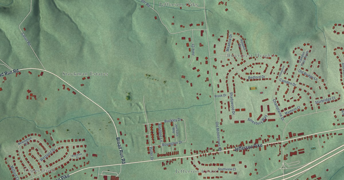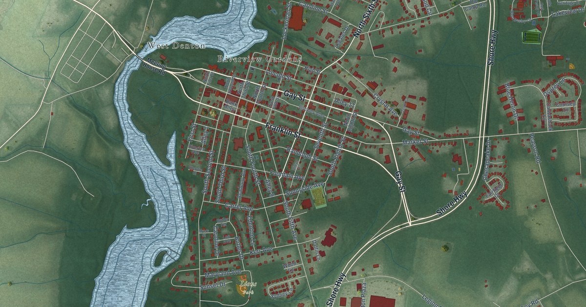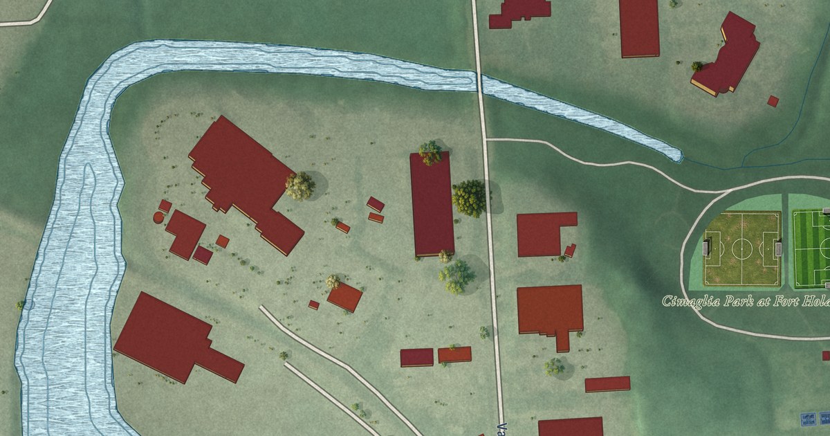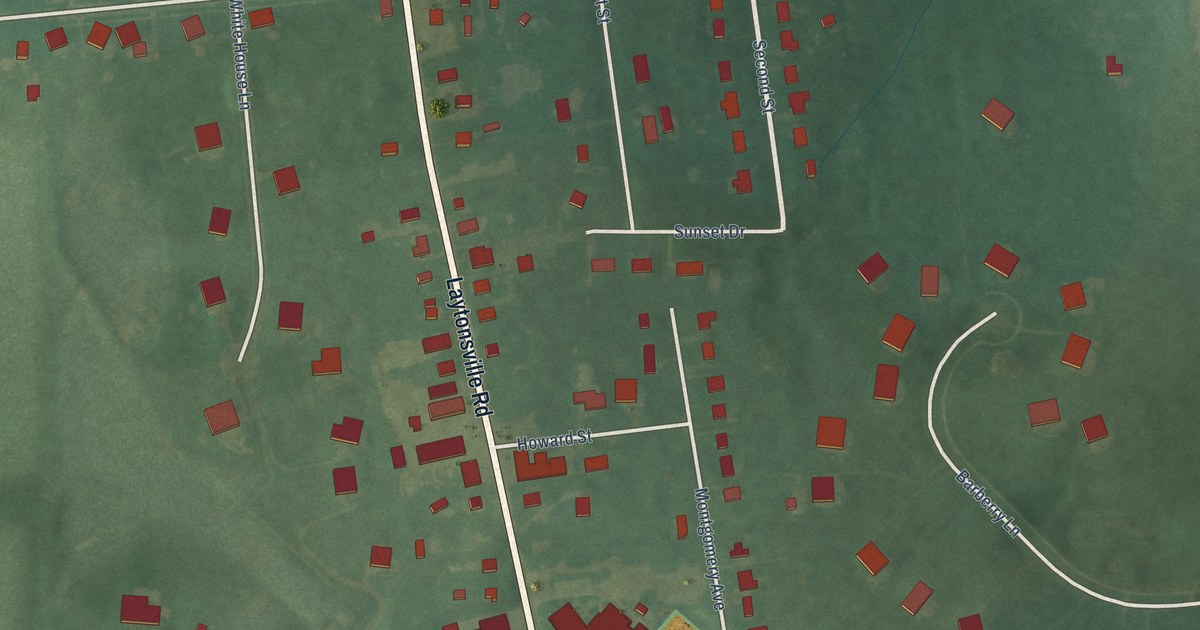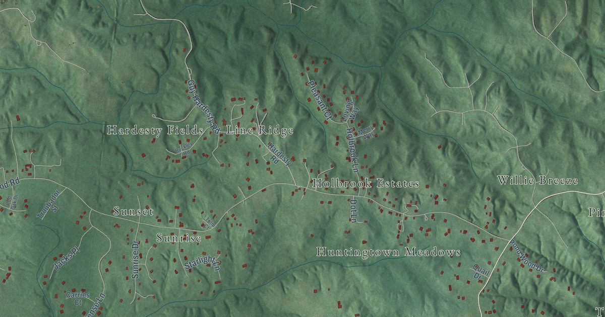
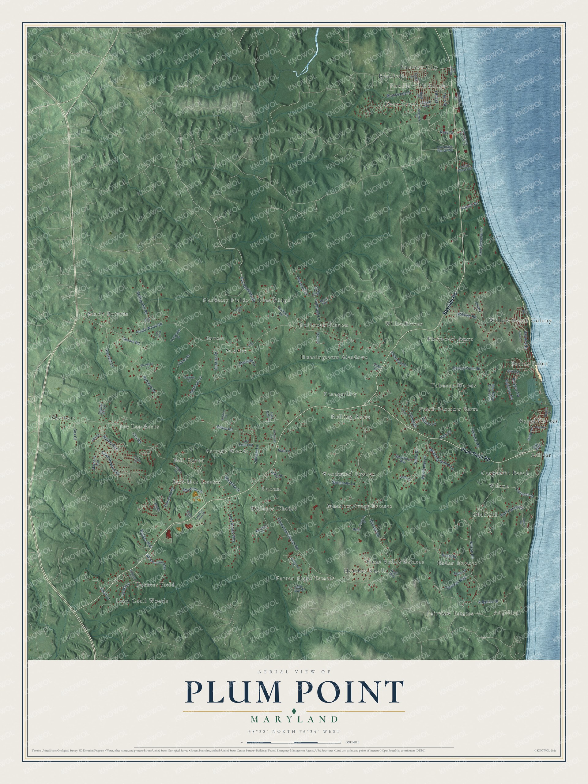
This beautifully detailed map of Plum Point, Maryland was created in 2026 using aerial imagery combined with modern topographical, census, street and landmark data. It’s a one-of-a-kind view of Plum Point that combines accurate data with a vintage aesthetic. The map shows every building in its true location, many of the roads carry their names, and the shaded topographic relief shows the shape of the land.
Explore an aerial view of Plum Point, Maryland
On the map you’ll find Angelica, Randle Cliff Beach, Lord Cecil Woods, Sandy Bottom, Pinewood Acres, Rolling Acres, Parran, Sherbert, Carpenter Beach, Line Ridge, Sunset, Oldfield, and more. If you look closely you can even find your house accurately drawn in its correct location. Zoom in on the preview to look for yours.
Take a closer look at the Plum Point map
Names on this map
These names are printed on this map.
Places: Angelica, Randle Cliff Beach, Lord Cecil Woods, Sandy Bottom, Pinewood Acres, Rolling Acres, Parran, Sherbert, Carpenter Beach, Line Ridge, Sunset, Oldfield, Parran Hunt Estates, Meadow Creek Estates, Willow Beach Colony, Huntingtown Meadows, Dory Court, Joy Lee Acres, Neeld Estates, Heather Knolls, Tobacco Woods, Peach Blossom Farm, Breezy Point, Parrans Woods, Wilson, Bell Haven, Hunt Valley Estates, Baden Estates, Holbrook Estates, Turners Field, Woodwind Estates, Summer City, Bellcar, Tranquility, Bess-Mar Estates, Biglanes Choice, Fairview Estates, Hardesty Fields, Willie Breeze, Brookside and Sunrise.
Streets and roads: Plum Point Road, Bayside Road, Calvert Drive, Holbrook Lane, Navy Court, Ponds Wood Road, Cox Road, Stinnett Road, Emmanuel Church Road, Breezy Point Road, Wilson Road, Guy Hardesty Road.
More street names, A to Z
Angelica Drive, Baden Drive, Barakat Court, Barberry Drive, Bay Boulevard, Bay Parkway, Bayview Drive, Beach Drive, Blue Heron Drive South, Brookeside Drive, Buckley Road, Burgess Road, Calvert Avenue, Calvert Circle, Calvert Road, Camp Roosevelt Drive, Capital Hill Lane, Carries Court, Cecil Lane, Chavez Lane, Christiana Parran Road, Cox Court, Dalrymple Road, Deer Run Court, Defense Lane, Dot Lane, Dotty Court, Drawfield Lane, Dunn Road, Emmanuel Court, Evans Road, Fairway Drive, Fairwood Drive, Fifth Street, Fortuna Court, Freeland Street, Hale Court, Hardesty Road, Harvest Lane, Highview Road, Hunt Way, Idas Lane, Jacks Place, Jalaber Lane, Jett Court, Juniper Lane, Kimberly Lane, Lady Annes Way, Leka Drive, Liberty Lane, Locust Grove Road, Loring Drive, Loving Way, Mairfield Lane, Marbey Drive, Marley Run, Mayberry Avenue, Merry Way, Ninth Street, Officers Circle, Old Evans Road, Old Plum Point Road, Paloro Lane, Parallel Road, Patience Place, Paul Hance Road, Pleasant Court, Pond Wood Drive, Prdr, Quail Drive, Randle Avenue, Red Oak Drive, Ridge Road, Rolling Hill Road, Samantha's Way, Scott Street, Small Reward Road, Spears Road, Starlight Lane, Stella Drive, Sunrise Drive, Symphony Lane, Tenth Street, Teresas Way, Terri Lane, Third Street, Tobacco Road, Troubador Street, Tulip Court, Twin Oak Lane, US Highway Govt Co 15, Verda Lane, Walden Way, Weeping Willow Lane, Whippoorwill Way, Wildflower Lane, Willows Road, Windsor Lane, Woodbine Lane, Woodlow Drive.
See it on a wall
The Plum Point map as a framed print. Swipe for more.


This beautifully detailed map of Plum Point makes an attractive addition to your office, library, or den, and it can even be used to teach children the geography and history of the area. It also makes a great gift for anyone with Plum Point roots. When you’re done exploring, click here to get your copy of the Plum Point map.