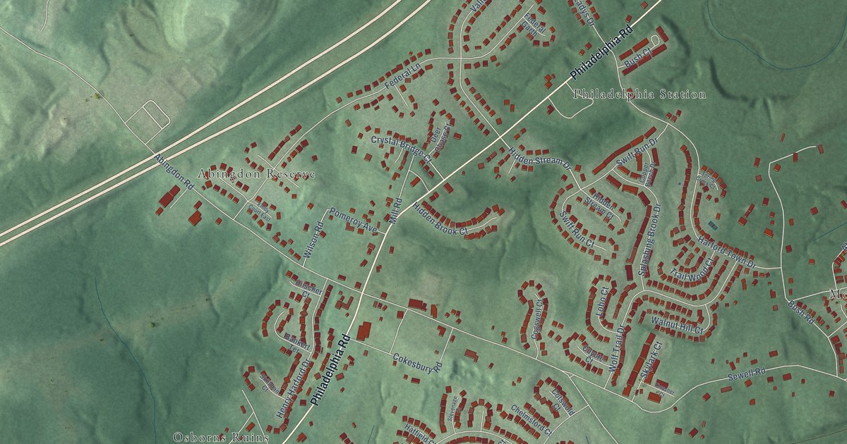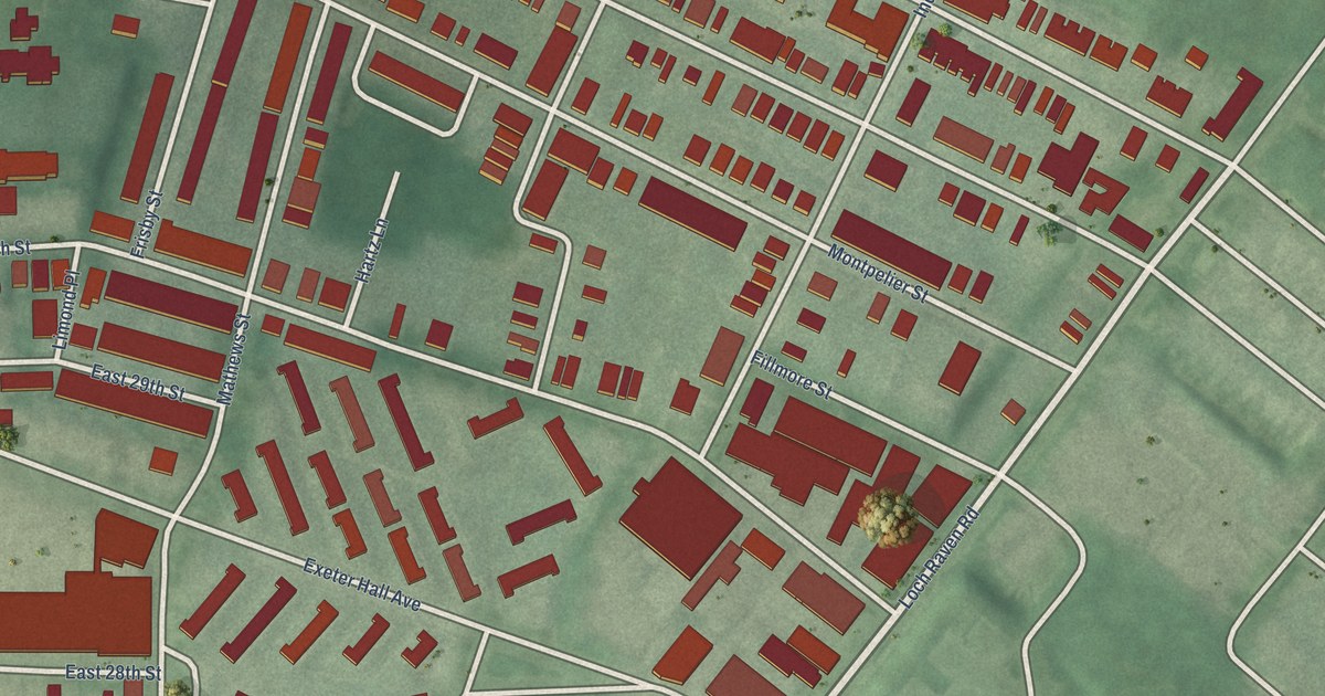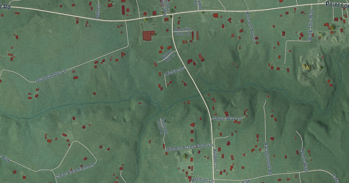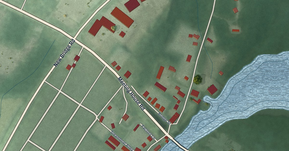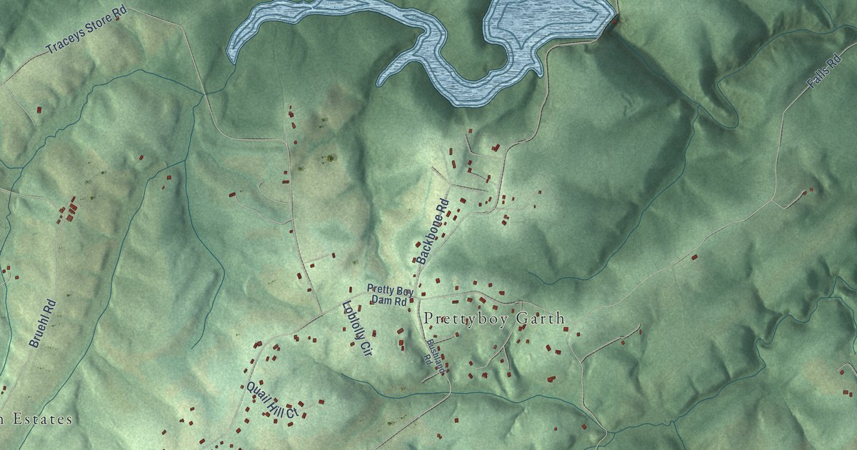
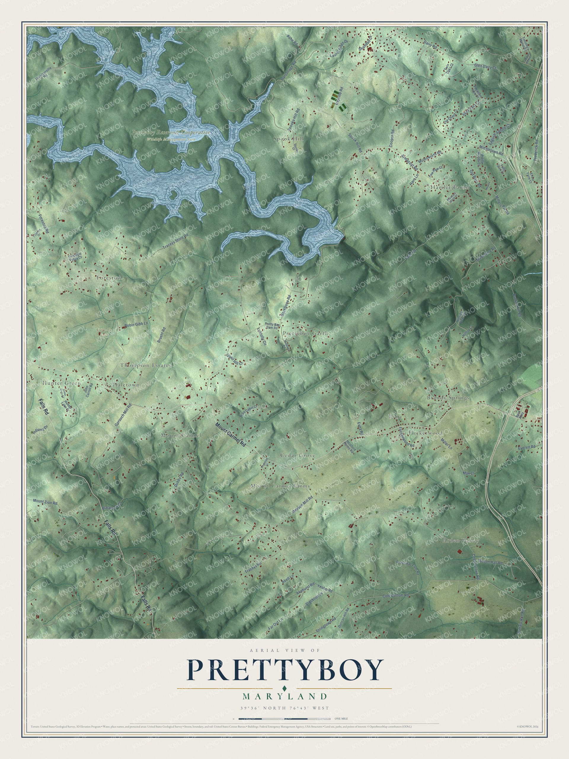
This beautifully detailed map of Prettyboy, Maryland was created in 2026 using aerial imagery combined with modern topographical, census, street and landmark data. It’s a one-of-a-kind view of Prettyboy that combines accurate data with a vintage aesthetic. The map shows every building in its true location, many of the roads carry their names, and the shaded topographic relief shows the shape of the land.
Explore an aerial view of Prettyboy, Maryland
On the map you’ll find Arden Valley, Friendly Farm, Prettyboy Reservoir Cooperative Wildlife Management Area, Hamlet Farms, Prettyboy Garth, Mount Carmel Farms, Spook Hill, Brandy Springs, Hunter Green, Flickerwood, Mount Carmel, Foreston, and more. If you look closely you can even find your house accurately drawn in its correct location. Zoom in on the preview to look for yours.
Take a closer look at the Prettyboy map
Names on this map
These names are printed on this map.
Places: Arden Valley, Friendly Farm, Prettyboy Reservoir Cooperative Wildlife Management Area, Hamlet Farms, Prettyboy Garth, Mount Carmel Farms, Spook Hill, Brandy Springs, Hunter Green, Flickerwood, Mount Carmel, Foreston, Haletown, Cedar Grove, Thompson Estates and Evna.
Streets and roads: Mount Carmel Road, Falls Road, Armacost Road, Spook Hill Road, Old Barn Road, Yeoho Road, Benson Mill Road, Spooks Hill Road, Foreston Road, Traceys Store Road, Middletown Road, Cedar Grove Road.
More street names, A to Z
Abell Lane, Akehurst Road, Ashe Road, Back Alley, Backbone Road, Bacon Hall Road, Beckleysville Road, Blackrock Court, Bruehl Road, Buffalo Run Road, Bunker Hill Road, Bush Cabin Court, Bushland Road, Cold Bottom Road, Cooper Road, Dairy Road, Dubbs Road, Duncan Hill Road, English Saddle Court, Ensor Farm Court, Everett Road, Evna Road, Falls Glen Court, Far Out Lane, Flickerwood Road, Foreston Valley Court, Fox Chase Court, Frederick Road, Glen Dairy Court, Goose Hall Farm Road, Gorsuch Mill Road, Harn Lane, Hereford Farms Road, Hillside View Road, Hilltop Court, Hunter Green Road, Hunter Lake Court, Hunt Pass Court, Indiana Drive, John Carroll Road, Laurel Ridge Drive, Loblolly Circle, Masemore Road, Max Court, Middle Woods Court, Miller Lane, Millers Pvt Road, Molesworth Road, Mount Zion Road, Musket Court, Parsonage Road, Patricks Court, Paw Paw Court, Pheasant View Place, Pheasant Wood Court, Pretty Boy Dam Road, Quail Hill Court, Rayville Road, Robin Gibb Lane, Shandall Court, Singletree Lane, Spooky Court, Stockton Lane, Stringtown Road, Timothy's Manor Court, Timothys Manor Court, Traceys Road, Twin Oaks Court.
See it on a wall
The Prettyboy map as a framed print. Swipe for more.


This beautifully detailed map of Prettyboy makes an attractive addition to your office, library, or den, and it can even be used to teach children the geography and history of the area. It also makes a great gift for anyone with Prettyboy roots. When you’re done exploring, click here to get your copy of the Prettyboy map.