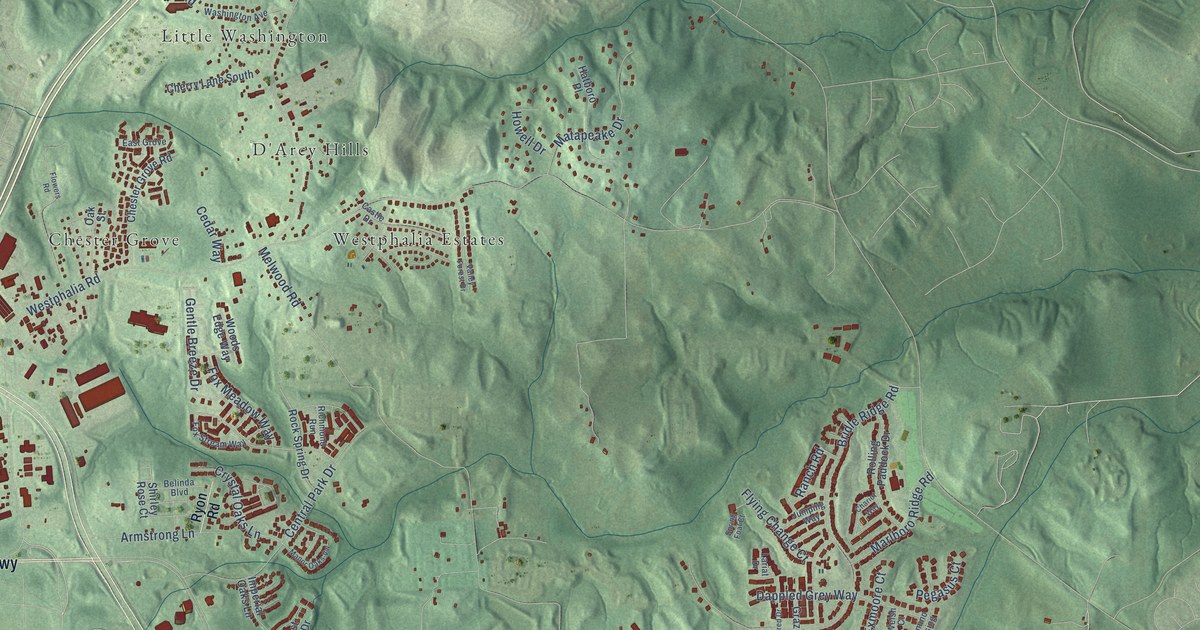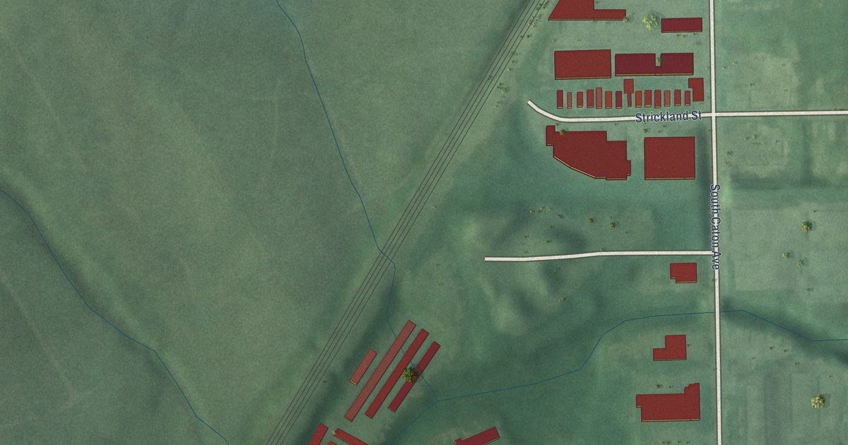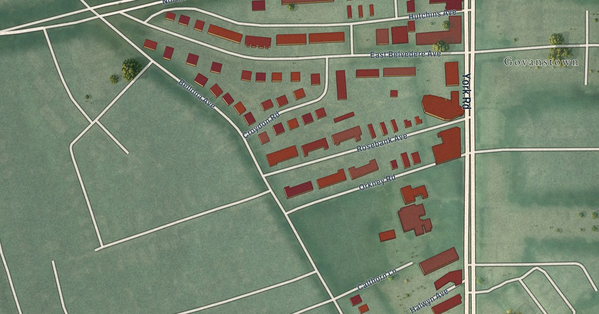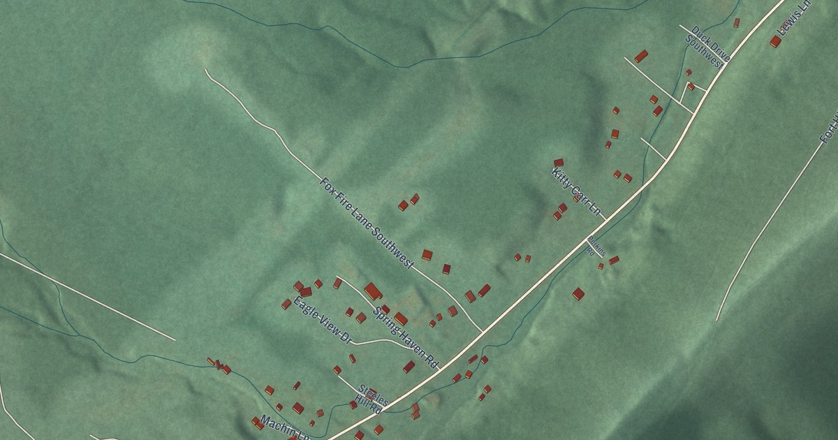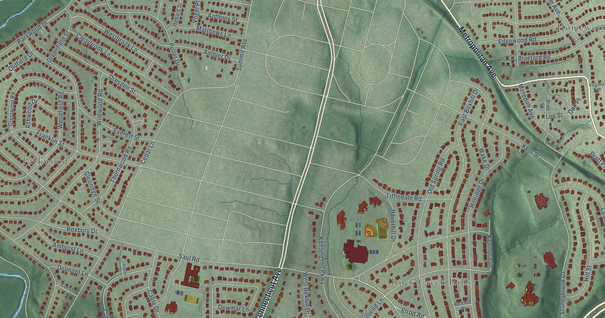
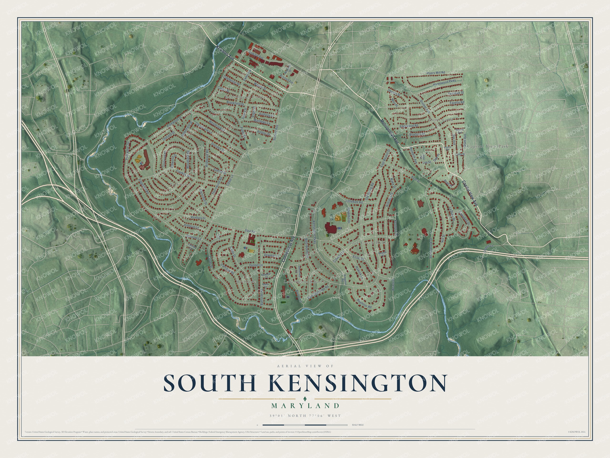
This beautifully detailed map of South Kensington, Maryland was created in 2026 using aerial imagery combined with modern topographical, census, street and landmark data. It's a modern aerial view of South Kensington in Montgomery County, Maryland, that combines modern data with a vintage aesthetic. The roads feature printed names, and if you look closely you can find your exact house accurately shown in its correct location.
Explore an aerial view of South Kensington, Maryland
On this map you'll find Rock Creek Hills, Homewood, Byeforde, Kensington Estates, Parkwood, Larchmont Knolls, Capitol View Park, Capitol View Avenue, Metropolitan Avenue, Knowles Avenue, Connecticut Avenue, Elrod Road, and more. Each red shape is a building, so zoom in on the preview and look for yours.
South Kensington is a community in Montgomery County. The Census Bureau counted 8,829 people here in 2020. South Kensington sits about 2 miles south of North Kensington, 2 miles north of Chevy Chase and 2 miles southeast of Garrett Park. The map prints the town name in its title panel, with the coordinates below it.
Take a closer look at the South Kensington map
Names on this map
These names are printed on this map.
Places: Rock Creek Hills, Homewood, Byeforde, Kensington Estates, Parkwood, Larchmont Knolls and Capitol View Park.
Streets and roads: Capitol View Avenue, Metropolitan Avenue, Knowles Avenue, Connecticut Avenue, Elrod Road, Greenfield Street, Beach Drive, Saul Road, Parkwood Drive, East Bexhill Drive, Kensington Parkway, Cedar Lane.
More street names, A to Z
Ambler Drive, Amherst Lane, Anthony Street, Ashwood Drive, Barroll Lane, Bexhill Place, Blueford Road, Brainard Avenue, Brookfield Drive, Byeforde Road, Cable Drive, Calvend Lane, Campbell Drive, Carriage Road, Clearbrook Lane, Colchester Drive, Colfax Street, Conifer Lane, Crestwood Road, Culver Court, Culver Street, Dana Court, Day Avenue, Delmont Lane, Dennis Avenue, Dewmar Court, Dewmar Lane, Dresden Street, Drumm Avenue, Dunnel Lane, East Stanhope Road, Edgefield Road, Edgewood Road, Everett Street, Ewell Avenue, Fayette Road, Ferndale Street, Franklin Street, Glencrest Lane, Glenridge Street, Grant Avenue, Haverhill Drive, Hawick Lane, Hebard Street, Hillridge Drive, Hill Street, Homewood Parkway, Howard Avenue, Kenmore Drive, Kent Street, Kingston Road, La Duke Drive, Lee Street, Linden Lane, Littledale Road, Loma Street, Matthews Lane, Meredith Avenue, Muir Place, Oak Place, Oberon Street, Oldfield Drive, Old Spring Road, Parkwood Terrace, Pine Street, Plyers Mill Road, Pratt Place, Puller Drive, Raymoor Road, Roxbury Drive, Stoneybrook Drive, Summit Avenue, Thornwood Road, Virginia Avenue, Vogel Place, Wake Drive, Warfield Street, Warner Street, West Bexhill Drive, Westbrook Lane, Wildwood Road, Woodfield Road.
See it on a wall
The South Kensington map as a framed print. Swipe for more.


Created by KNOWOL in 2026. The buildings are small red shapes, the roads carry their printed names, and shaded relief shows the shape of the land. The title panel reads "AERIAL VIEW OF SOUTH KENSINGTON, MARYLAND" with 39°01' NORTH 77°06' WEST.
Hang it in the hallway, the office or the cabin, or give it to someone who left South Kensington and still calls it home. Open the preview and look for a street you know. See sizes and frames for the South Kensington map.