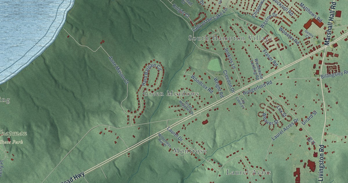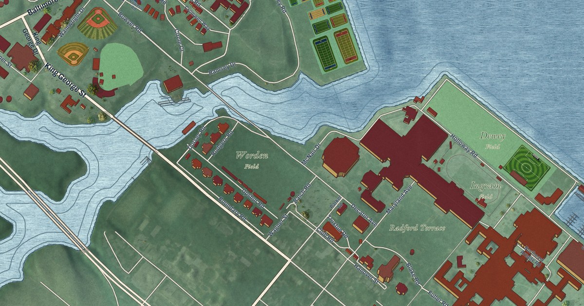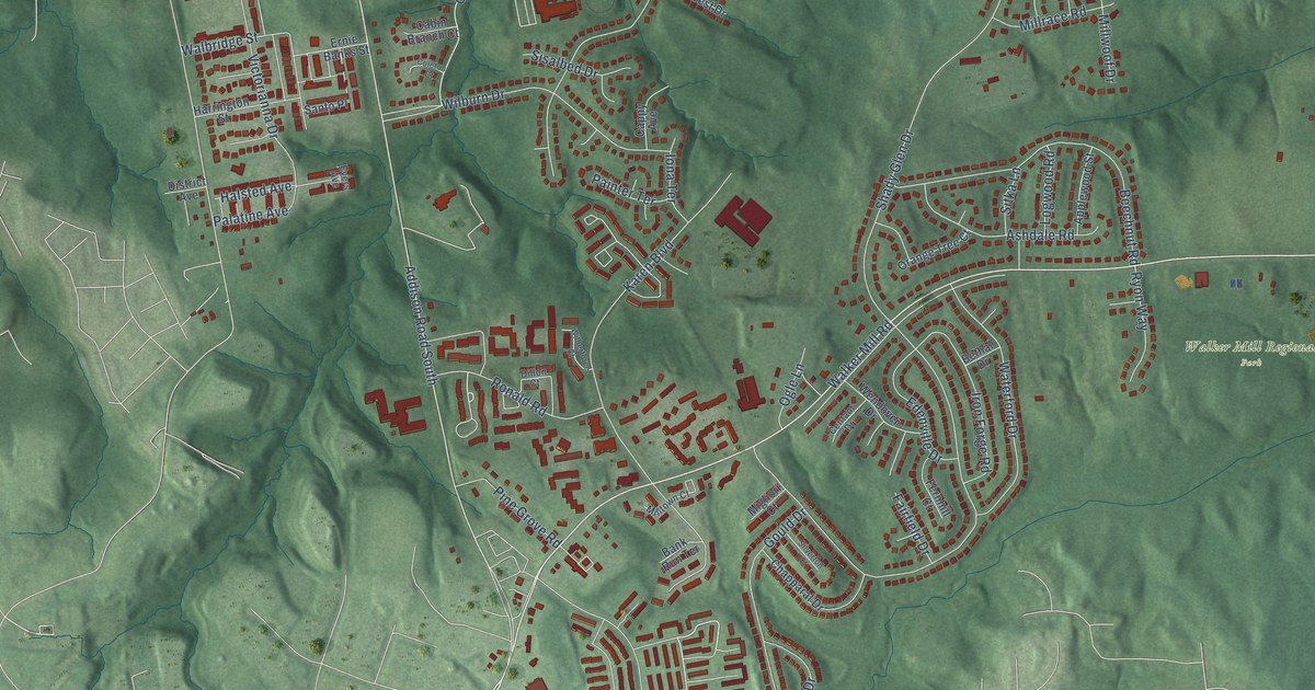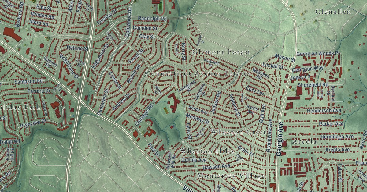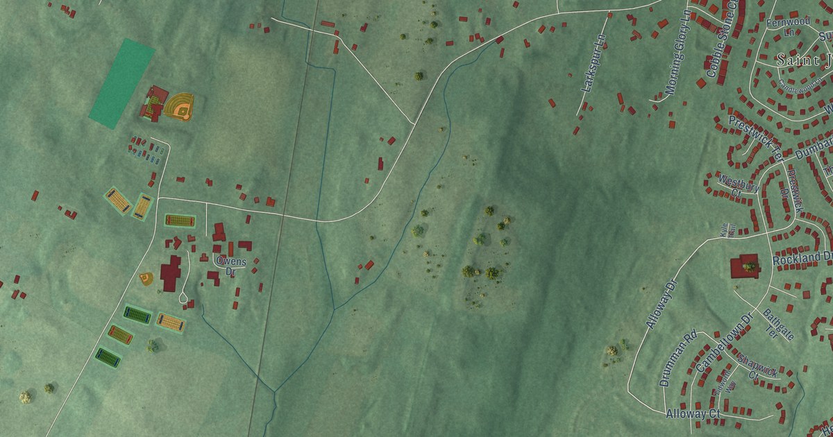
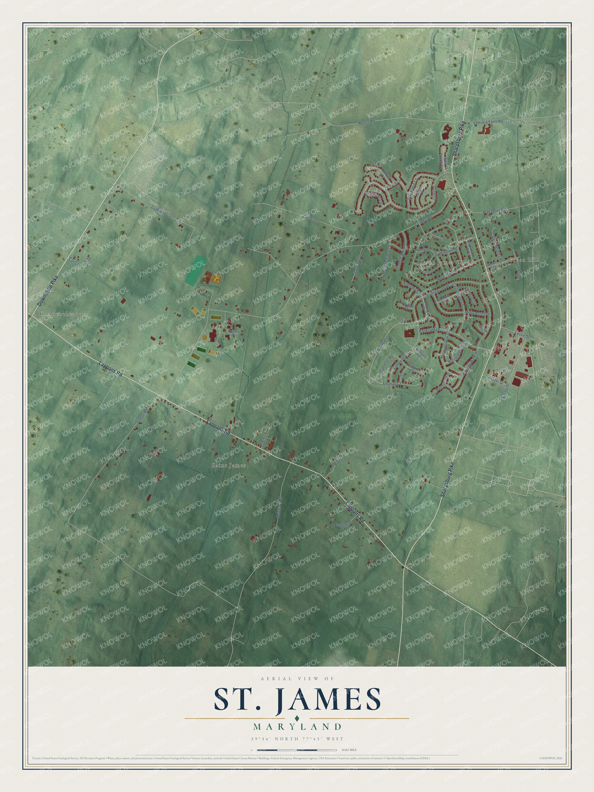
This beautifully detailed map of St. James, Maryland was created in 2026 using aerial imagery combined with modern topographical, census, street and landmark data. It's a modern aerial view of St. James in Washington County, Maryland, that combines modern data with a vintage aesthetic. The roads feature printed names, and if you look closely you can find your exact house accurately shown in its correct location.
Explore an aerial view of St. James, Maryland
On this map you'll find Saint James Village, Conococheaque, Fiery Siding, Saint James, Green Hill, Lappans Road, Sharpsburg Pike, Downsville Pike, Alloway Drive, Drumman Road, Lyles Drive, College Road, and more. Each red shape is a building, so zoom in on the preview and look for yours.
St. James has a story worth telling. St. James School opened on October 2, 1842, on 20 acres of Fountain Rock, the old home of General Samuel Ringgold, and it became one of the first church schools in the United States. Ringgold's remodeled mansion became the school's Claggett Hall. Ringgold, a brigadier general in the Maryland militia, had entertained James and Dolly Madison, Henry Clay and James Monroe at Fountain Rock. That's from the Maryland Historical Trust.
St. James is a community in Washington County. The Census Bureau counted 4,757 people here in 2020.
Take a closer look at the St. James map
Names on this map
These names are printed on this map.
Places: Saint James Village, Conococheaque, Fiery Siding, Saint James and Green Hill.
Streets and roads: Lappans Road, Sharpsburg Pike, Downsville Pike, Alloway Drive, Drumman Road, Lyles Drive, College Road, Woodside Drive, Rench Road, Dumbarton Drive, Morning Walk Drive, Reichard Road.
More street names, A to Z
Alloway Court, Bathgate Terrace, Berwick Terrace, Bob Lane, Cambeltown Drive, Candlewood Lane, Carter Lane, Carty Lane, Chapelwood Lane, Clover Heights Road, Coatbridge Lane, Cobble Stone Court, Da Wrong Lane, Earley Drive, Fernwood Lane, Helmsdale Place, Hetzer Drive, Jordan Road, June Avenue, Kent Avenue, Kurtyka Circle, Kyle Trail, Larkspur Lane, Leslie Drive, Lydia Lane, Misty Acres Drive, Morning Dew Drive, Morning Glory Lane, Norbeck Drive, Owens Drive, Pr Drive, Prestwick Drive, Prestwick Terrace, Rockland Drive, Roslin Place, Saint George Circle, Saint Roberts Drive, Samuel Circle, Shapwick Court, Stephanie Lane, Summerlin Drive, Thornhill Court, Thornhill Drive, Tidworth Way, Valentia Farm Road, Wagaman Road, Westbury Court, Westenberger Drive, Woodside Court, Zemma Lane.
See it on a wall
The St. James map as a framed print. Swipe for more.


Created by KNOWOL in 2026. The buildings are small red shapes, the roads carry their printed names, and shaded relief shows the shape of the land. The title panel reads "AERIAL VIEW OF ST. JAMES, MARYLAND" with 39°34' NORTH 77°45' WEST.
It looks right in a kitchen, an office or a den, and it's a gift for anyone who grew up in St. James or moved away. Open the preview and find your street. See sizes and frames for the St. James map.