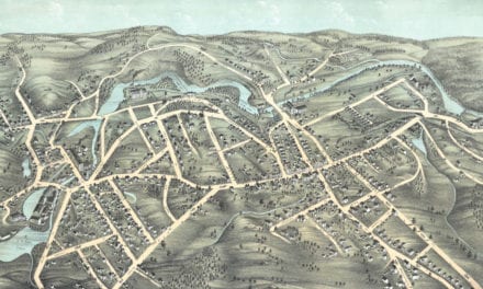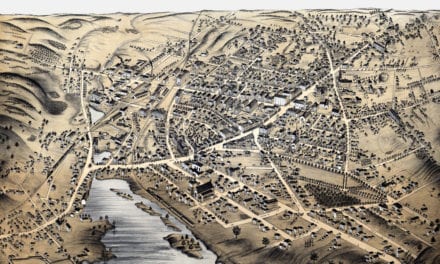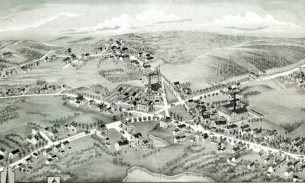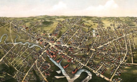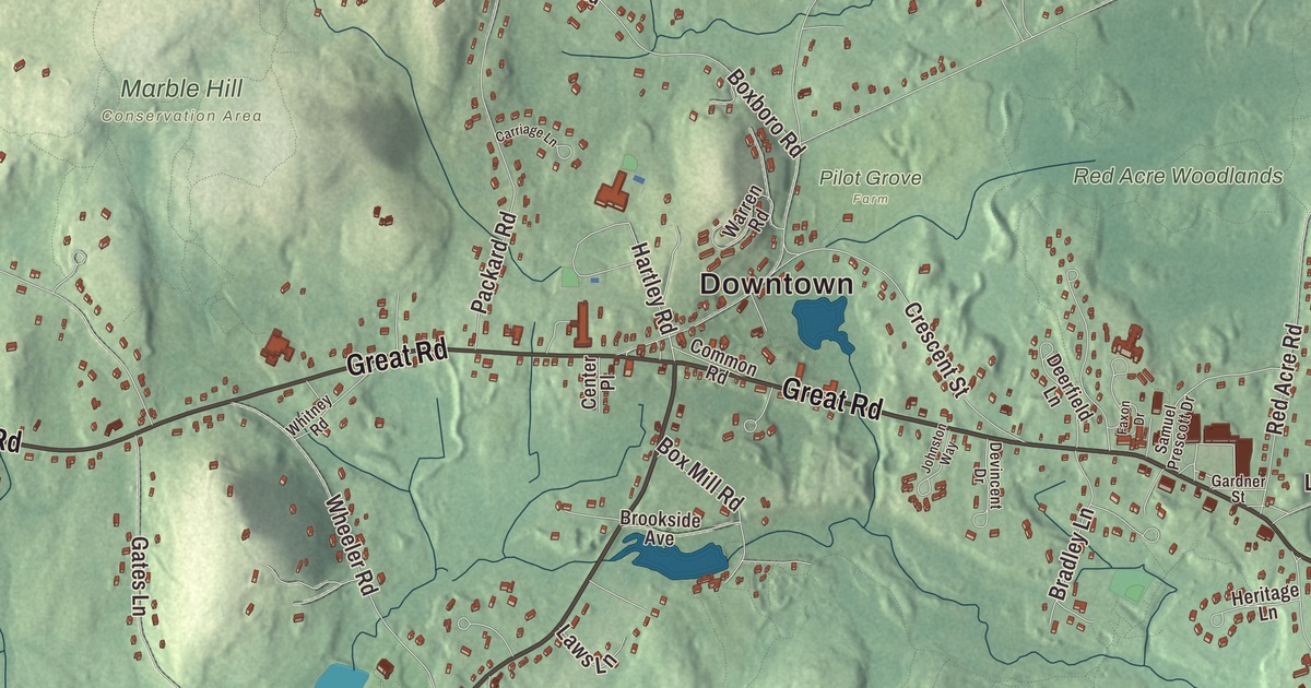
This aerial map of Stow, Massachusetts was created in 2026 using real geographic data to bring the town’s streets, buildings, neighborhoods, ponds and waterways, parks, mountains and ridgelines, and terrain together in one highly detailed view. Look closer and you can pick out the familiar places that make Stow feel like home. Start with the street you know, then see how it connects to the rest of the Stow you call home. Click here to purchase a print of this map for your wall.
Explore an aerial view of Stow, Massachusetts
Start with Downtown and Lower Village. Follow Gleasondale Road, Great Road, Harvard Road, Hartley Road, Sudbury Road, and Taylor Road across town. Then look outward toward Gleasondale and Gleasondale Station.
Assabet River Reservoir, Delaney Pond, Lake Boon, White Pond, Assabet River National Wildlife Refuge, Birch Hill, Boons Hill, and Flagg Hill are all labeled on the map. Every one of those names is printed directly on the artwork, giving you plenty to explore.
The Town of Stow’s recorded history dates European settlement to 1681. Stow was incorporated as a town in 1683. The town remains part of Middlesex County today. Click the image below to see the area as it looked in 2026.
Take a closer look at the Stow map
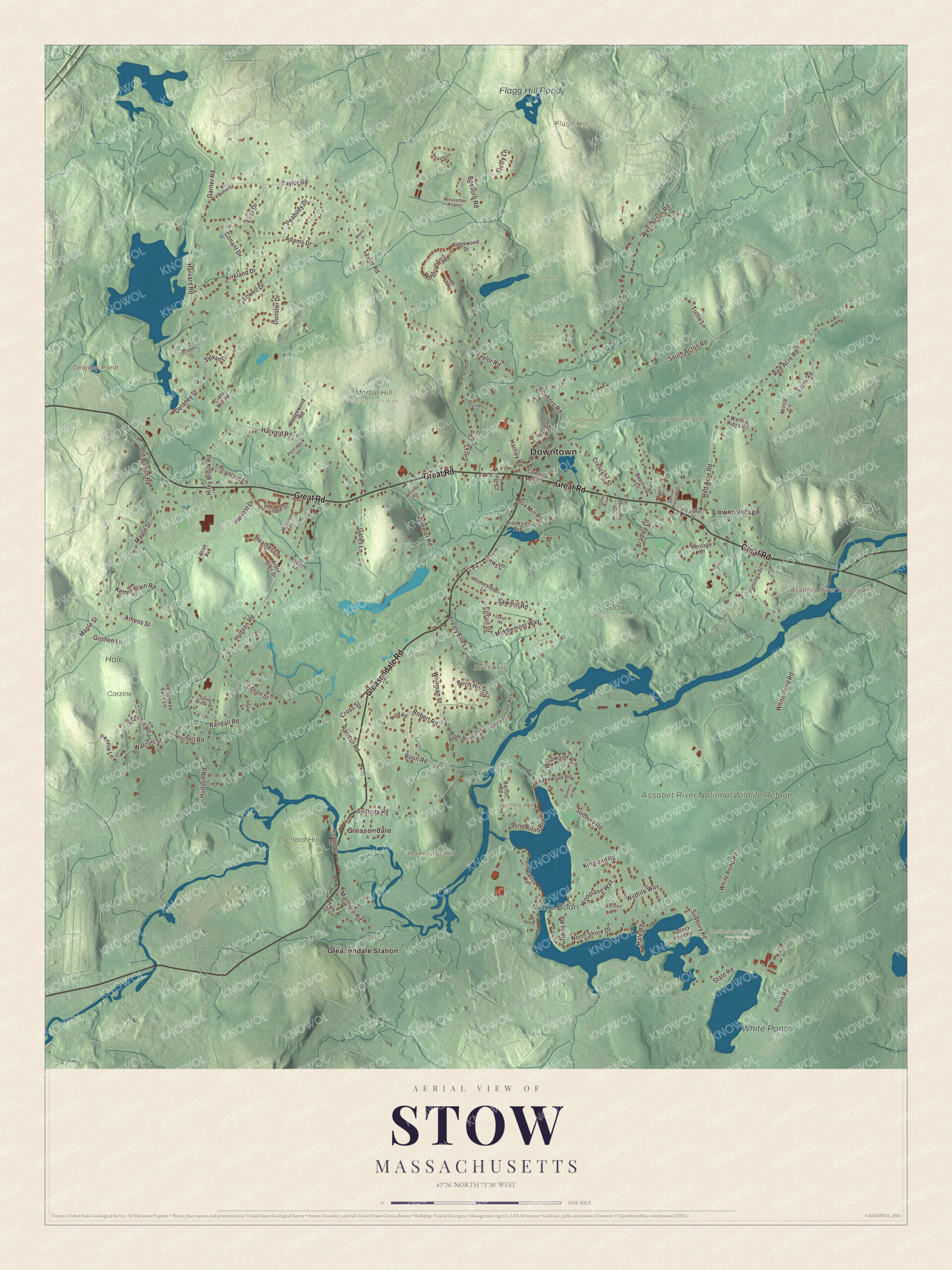
Click to explore a larger preview. The digital watermark does not appear on printed maps.
Names on this map
These names are printed on this map.
Places: Downtown, Lower Village, Gleasondale, Birch Hill, Boons Hill, Flagg Hill, Honeypot Hill, Assabet River Reservoir, Delaney Pond, Lake Boon, White Pond, Flagg Hill Pond, Assabet River National Wildlife Refuge, Corzine, Hale, Leggett, Marble Hill Conservation Area, Marlborough-Sudbury State Forest, Orchard Hill Farm, Pilot Grove Farm, Red Acre Woodlands, Shelburne Farm, Stow Town Forest, Sureau, Gleasondale Station and Minuteman Airport.
Streets and roads: Gleasondale Road, Great Road, Harvard Road, Hartley Road, Sudbury Road, Taylor Road, White Pond Road, Hudson Road, Boxboro Road, West Acton Road, Red Acre Road, South Acton Road.
More street names, A to Z
7 Star Lane, Adams Drive, Apple Blossom Lane, Apple Blossom Way, Arbor Glen Drive, Athens Street, Barton Road, Birch Hill Road, Boon Road, Bose Avenue, Box Mill Road, Bradley Lane, Brookside Avenue, Bruen Road, Carriage Lane, Center Place, Cider Mill Road, Circuit Drive, Common Road, Conant Drive, Crescent Street, Cricket Court, Cross Street, Davis Road, Deerfield Lane, Delaney Street, Devincent Drive, Dunster Drive, Edgehill Road, Edson Street, Eliot Drive, Evelyn Road, Farm Road, Faxon Drive, Gardner Street, Garner Road, Gates Lane, Goshen Lane, Hale Road, Hallock Point Road, Harvest Drive, Hastings Street, Heather Lane, Hemenway Farm Lane, Heritage Lane, Hickory Lane, High Street, Hiley Brook Road, Homestead Lane, Johnston Way, Kettell Plain Road, Kingland Road, Kirkland Drive, Lakewood Road, Lantern Lane, Laws Lane, Lowell Drive, Maguire Lane, Maple Street, Marlboro Road, Maura Drive, McIntosh Drive, Middlemost Way, Militia Circle, Mitchell Road, No Name Road, North Shore Drive, Nyra Road, October Lane, Old Bolton Road, Orchard Street, Packard Road, Partridge Lane, Peabody Drive, Pennie Lane, Pine Point Road, Queens Lane, Randall Road, Ridgewood Drive, Robert Road, Rockbottom Road, Samuel Prescott Drive, Sandy Brook Drive, Sawmill Road, State Road, Sylvan Drive, Treaty Elm Lane, Trefry Lane, Tuttle Lane, Walcott Street, Walnut Ridge Road, Warren Road, Wedgewood Road, Westview Drive, West View Lane, Wheeler Road, Whitman Street, Whitney Road, Wildlife Way, Wildwood Road, Woodland Way.
See it on a wall
The Stow map as a framed print. Swipe for more.


We designed the artwork at KNOWOL using Stow’s real streets, buildings, neighborhoods, ponds and waterways, parks, mountains and ridgelines, and terrain, the town boundary, and the way buildings spread across the town. Then we chose the color, relief, lettering, and layout that make the map look great on the wall.
This beautifully detailed map of Stow makes an attractive addition to your office, library, or den and can even be used to teach children the geography and history of the area. When you’re done exploring, click here to get your copy of the Stow, Massachusetts map.