Massachusetts Map Prints
We make detailed maps of Massachusetts towns, the way they look today. Type yours and see its map.
Or pick a county on the map.
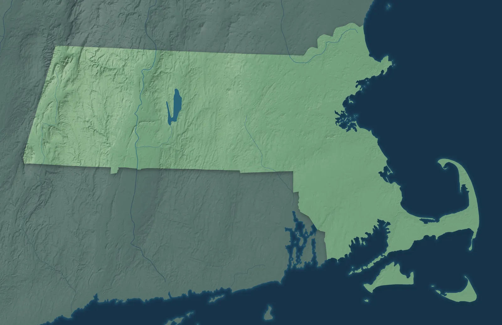
A town mapPick a county to look closer.
Massachusetts Towns by County
415 town maps in 14 counties. Open one to see its towns.
Barnstable County40
- Barnstable
- Bourne
- Brewster
- Buzzards Bay
- Chatham
- Dennis
- Dennis Port
- East Dennis
- East Falmouth
- East Harwich
- East Sandwich
- Eastham
- Falmouth
- Forestdale
- Harwich
- Harwich Port
- Mashpee
- Mashpee Neck
- Monument Beach
- New Seabury
- North Eastham
- North Falmouth
- Orleans
- Pocasset
- Popponesset
- Provincetown
- Sagamore
- Sandwich
- Seabrook
- South Dennis
- Teaticket
- Truro
- Wellfleet
- West Chatham
- West Dennis
- West Falmouth
- West Yarmouth
- Woods Hole
- Yarmouth
- Yarmouth Port
Berkshire County34
- Adams
- Alford
- Becket
- Cheshire
- Clarksburg
- Dalton
- Egremont
- Florida
- Great Barrington
- Hancock
- Hinsdale
- Housatonic
- Lanesborough
- Lee
- Lenox
- Lenox Dale
- Monterey
- Mount Washington
- New Ashford
- New Marlborough
- North Adams
- Otis
- Peru
- Pittsfield
- Richmond
- Sandisfield
- Savoy
- Sheffield
- Stockbridge
- Tyringham
- Washington
- West Stockbridge
- Williamstown
- Windsor
Bristol County23
Essex County34
Franklin County30
Hampden County23
Hampshire County20
Middlesex County59
- Acton
- Arlington
- Ashby
- Ashland
- Ayer
- Bedford
- Belmont
- Billerica
- Boxborough
- Burlington
- Cambridge
- Carlisle
- Chelmsford
- Cochituate
- Concord
- Dracut
- Dunstable
- East Pepperell
- Everett
- Framingham
- Groton
- Holliston
- Hopkinton
- Hudson
- Lexington
- Lincoln
- Littleton
- Littleton Common
- Lowell
- Malden
- Marlborough
- Maynard
- Medford
- Melrose
- Natick
- Newton
- North Reading
- Pepperell
- Pinehurst
- Reading
- Sherborn
- Shirley
- Somerville
- Stoneham
- Stow
- Sudbury
- Tewksbury
- Townsend
- Tyngsborough
- Wakefield
- Waltham
- Watertown
- Wayland
- West Concord
- Westford
- Weston
- Wilmington
- Winchester
- Woburn
Nantucket County3
Norfolk County28
Plymouth County40
- Abington
- Bridgewater
- Brockton
- Carver
- Cedar Crest
- Duxbury
- East Bridgewater
- Green Harbor
- Halifax
- Hanover
- Hanson
- Hingham
- Hull
- Kingston
- Lakeville
- Marion
- Marshfield
- Marshfield Hills
- Mattapoisett
- Middleborough
- North Pembroke
- North Plymouth
- North Scituate
- Norwell
- Ocean Bluff-Brant Rock
- Onset
- Pembroke
- Plymouth
- Plympton
- Rochester
- Rockland
- Scituate
- South Duxbury
- The Pinehills
- Wareham
- West Bridgewater
- West Wareham
- Weweantic
- White Island Shores
- Whitman
Worcester County69
- Ashburnham
- Athol
- Auburn
- Baldwinville
- Barre
- Berlin
- Blackstone
- Bolton
- Boylston
- Brookfield
- Charlton
- Clinton
- Cordaville
- Devens
- Douglas
- Dudley
- East Brookfield
- East Douglas
- Fiskdale
- Fitchburg
- Gardner
- Grafton
- Hardwick
- Harvard
- Holden
- Hopedale
- Hubbardston
- Lancaster
- Leicester
- Leominster
- Lunenburg
- Mendon
- Milford
- Millbury
- Millville
- New Braintree
- North Brookfield
- Northborough
- Northbridge
- Oakham
- Oxford
- Paxton
- Petersham
- Phillipston
- Princeton
- Royalston
- Rutland
- Shrewsbury
- South Ashburnham
- South Lancaster
- Southborough
- Southbridge
- Spencer
- Sterling
- Sturbridge
- Sutton
- Templeton
- Upton
- Uxbridge
- Warren
- Webster
- West Boylston
- West Brookfield
- West Warren
- Westborough
- Westminster
- Whitinsville
- Winchendon
- Worcester
Don’t see your town? Ask us to draw it.
A Few Places to Start
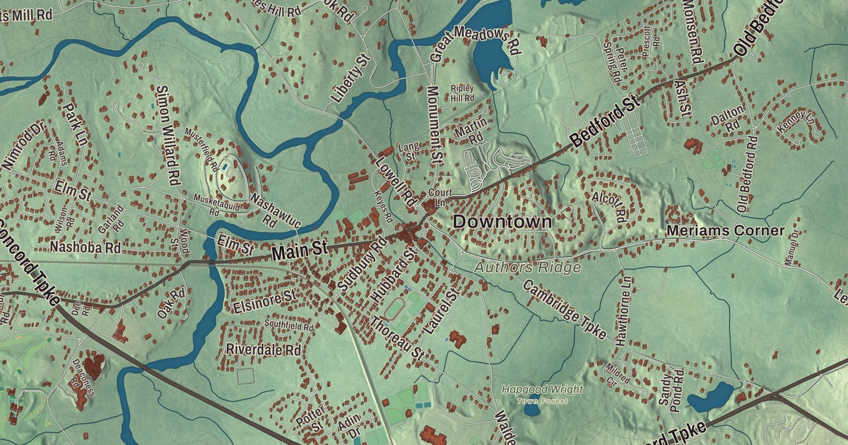
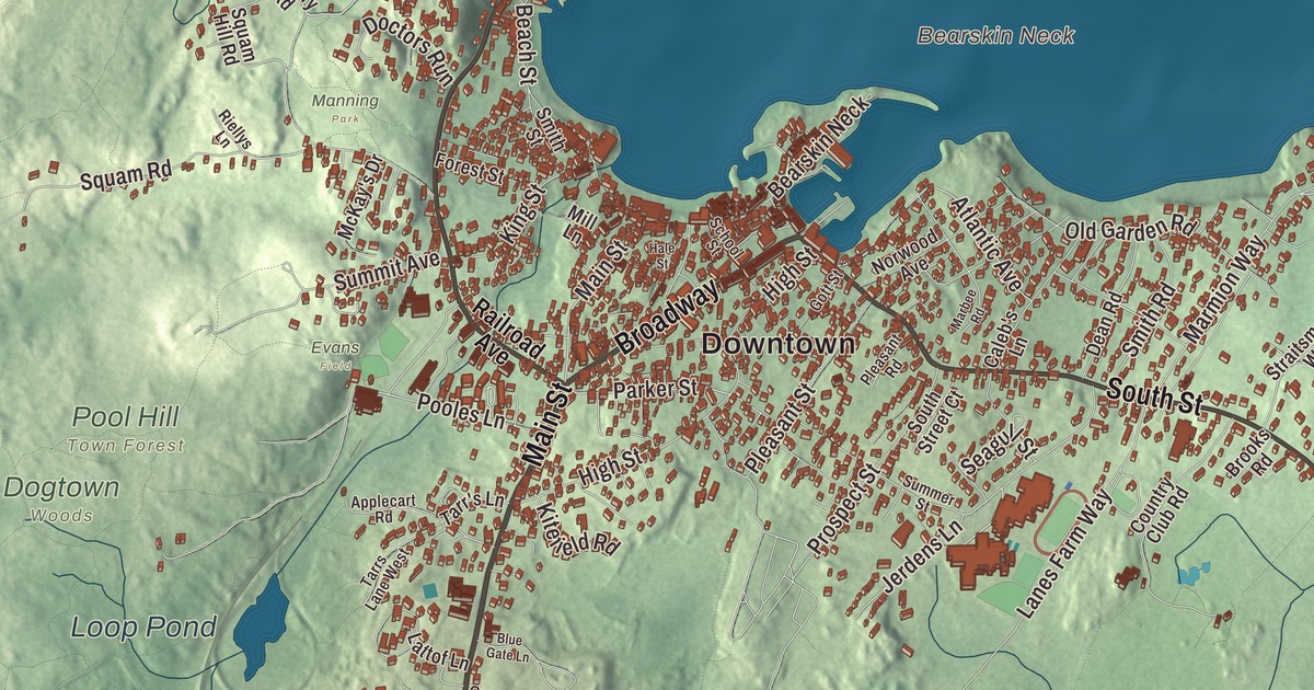
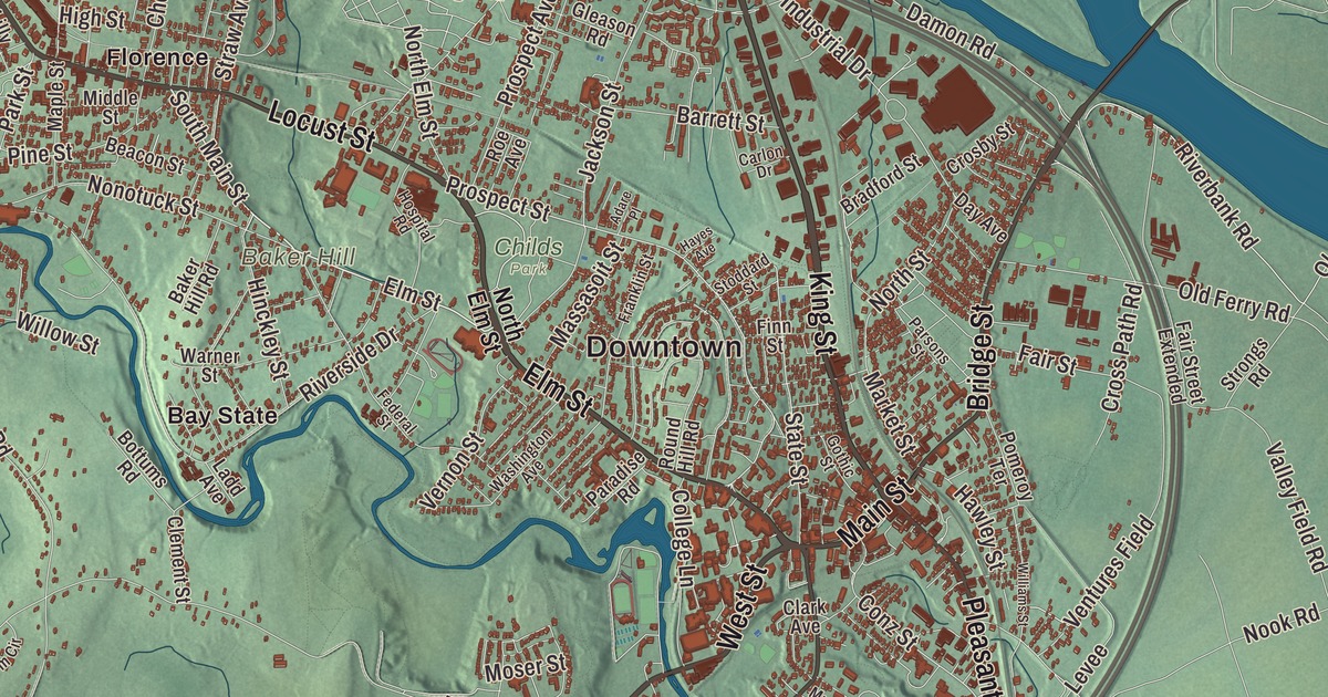
How Each Map Is Made
It starts with the real place
Streets, buildings, terrain and water form the map, drawn the way Massachusetts looks today.
Then the details
Local research and an old atlas style give each town its character.
Then it’s yours
Look around the map, then pick a print to keep or give.