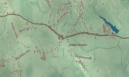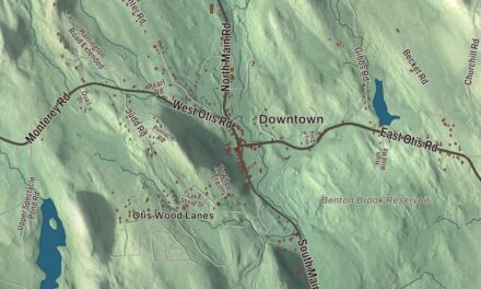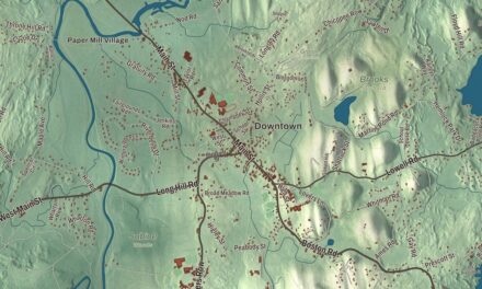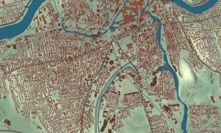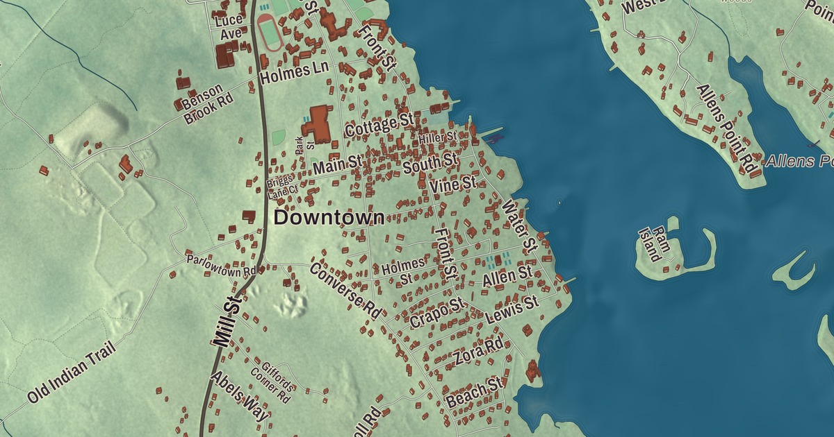
Marion is a Buzzards Bay town split almost in two by Sippican Harbor, and nearly half of its area is water. This map prints Front Street, Wareham Street, Rochester Road, Mill Street, Cove Circle and West Drive, with Marys Pond and Bird Island at the harbor mouth. Click here to purchase a print of this map for your wall.
Marion is in Plymouth County.
KNOWOL made this map in 2026 from public survey data and gave it the look of an old atlas. The relief comes from United States Geological Survey elevation data, and the streets and the town line come from the Census Bureau. Marion covers 26.1 square miles, 14.0 of them land and 12.1 of them water. Mattapoisett lies to the southwest, Rochester to the northwest and Wareham to the north and northeast, with the Weweantic River along the Wareham line. Converse Point sits west of the harbor and Sippican Neck east of it, with Aucoot Cove and Wings Cove on either side. New Bedford is 12 miles to the west, and the town had 5,347 people at the 2020 census.
Sippican becomes Marion
Sippican, the Wampanoag name for the local people, still names the river in the north of town and the harbor at its heart. The Town of Marion’s recorded history, in the Secretary of the Commonwealth’s list, dates European settlement to 1679, when Sippican was settled as a district of Rochester. The village was known for its sea captains and sailors, and there was some small shipbuilding on the harbor. By the late 1840s, Mattapoisett was pushing to redraw the town lines and take over Sippican Village, so the villagers formed a committee and went to Boston to ask to become a town of their own. With the help of a powerful local ally, Marion was incorporated as a town on May 14, 1852, and named for the Revolutionary War hero Francis Marion. The town remains part of Plymouth County today.
Since then, Marion has lived mostly from the waters of Buzzards Bay, from fishing and from summer visitors. Its summer residents have included Grover Cleveland and Frances Folsom Cleveland, Franklin Delano Roosevelt, Rear Admiral Richard E. Byrd, and the sculptor Augustus Saint-Gaudens, and the composer Carl Ruggles was born here. Recreational sailing is a major part of the summer, and the town page counts Marion’s fleet among the largest in Massachusetts, a forest of masts in the inner harbor.
The School by the Sea
Elizabeth Sprague Taber, a wealthy widow who gave much to the town, left a building in Marion’s Lower Village in her will to become Tabor Academy, founded in 1876 as a school for Marion’s children. It was coeducational from the start, as she intended. Its place on Sippican Harbor earned it the name “The School by the Sea,” and the school still sails a 115-foot training vessel, the SSV Tabor Boy. The town library, the Elizabeth Taber Library, sits beside the town offices on Spring Street.
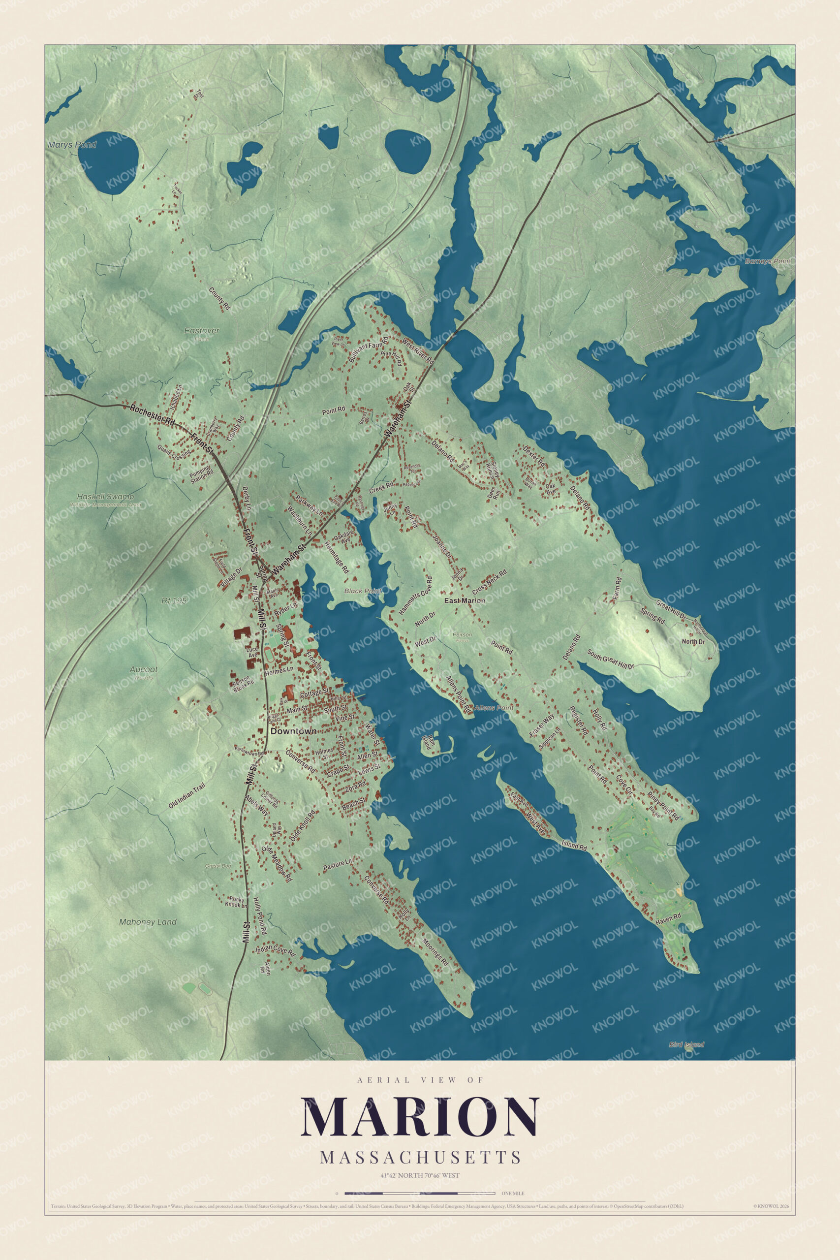
Click to explore a larger preview. The digital watermark does not appear on printed maps.
Names on this map
These names are printed on this map.
Places: Downtown, Allens Point, Barneys Point, Bird Island, Black Point, Marys Pond, Aucoot Woods, Eastover Farm, Grassi Bog, Haskell Swamp Wildlife Management Area, Mahoney Land, Peirson Woods, Rt 195 and East Marion.
Streets and roads: Front Street, Wareham Street, Rochester Road, Mill Street, Cove Circle, West Drive, West River Road, Point Road, Delano Road, Converse Road, County Road, Cross Neck Road.
More street names, A to Z
Abels Way, Alden Road, Allens Point Road, Allen Street, Barros Drive, Bay Road, Beach Street, Benson Brook Road, Briggs Lane Court, Bullivant Farm Road, Cottage Street, Cove's End Road, Cranberry Way, Crapo Street, Creek Road, Deer Run, Derby Lane, Dexter Road, Doran Way, East Avenue, Farm Road, Field Stone Lane, Fraser Way, Giffords Corner Road, Great Hill Drive, Hammetts Cove Road, Hastings Road, Haven Road, Hermitage Road, Hiller Street, Holly Lane, Holly Pond Road, Holly Road, Holmes Lane, Holmes Street, Ichabod Lane, Indian Cove Road, Island Road, Jenna Drive, Jenny Lane, Joanne Drive, Lewis Street, Luce Avenue, Mac's Way, Main Street, Maple Avenue, Moorings Road, North Drive, North Great Hill Drive, Oak Avenue, Oakdale Avenue, Oak Street, Olde Knoll Road, Olde Meadow Road, Old Indian Trail, Park Street, Parkway Lane, Parlowtown Road, Pasture Lane, Pine Hill Road, Piney Point Road, Pumping Station Road, Quails Crossing, Ram Island, Rebecca Drive, Register Road, Rezendes Terrace, River View Lane, Rocky Knook Lane, Ryder Lane, Sippican Lane, South Great Hill Drive, South Street, Spring Road, Spring Street, Stoney Run Lane, Teel Street, Tucker Lane, Upland Way, Village Drive, Vine Street, Washburn Lane, Water Street, West Avenue, Zora Road.
See it on a wall
The Marion map as a framed print. Swipe for more.


Around the map
Start with East Marion, then follow Front Street, Wareham Street, Rochester Road, Mill Street, Cove Circle and West Drive across town. Front Street ends at a public beach with a lifeguard station. Marys Pond and Bird Island are both printed on the map, and every one of those names is right there on the artwork. Bird Island is a 3-acre island about half a mile south of Butler Point, and its lighthouse, built in 1819, is a well-preserved early masonry tower. The 1938 hurricane swept away every building on the island except the tower. The town bought the island in 1966, and the light was relit on July 4, 1997. The island takes its name from the roseate tern, and it’s a major breeding ground for the bird. The island is closed to visitors during the May through August nesting season.
The Marion map makes a fine addition to an office, library or den, and it can help teach children the geography and history of a Buzzards Bay harbor town. It’s made for people who call Marion home, from East Marion to Converse Point, and it shows the town as it looks today. Zoom in on the preview above to explore the details, then click here to get your copy of the Marion, Massachusetts map.

Sources