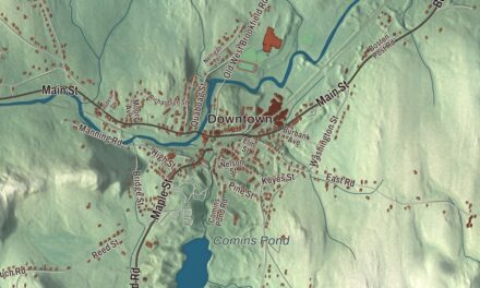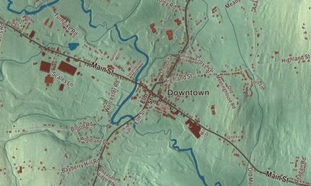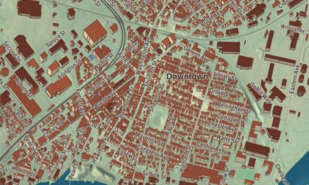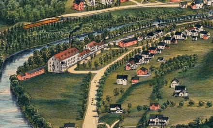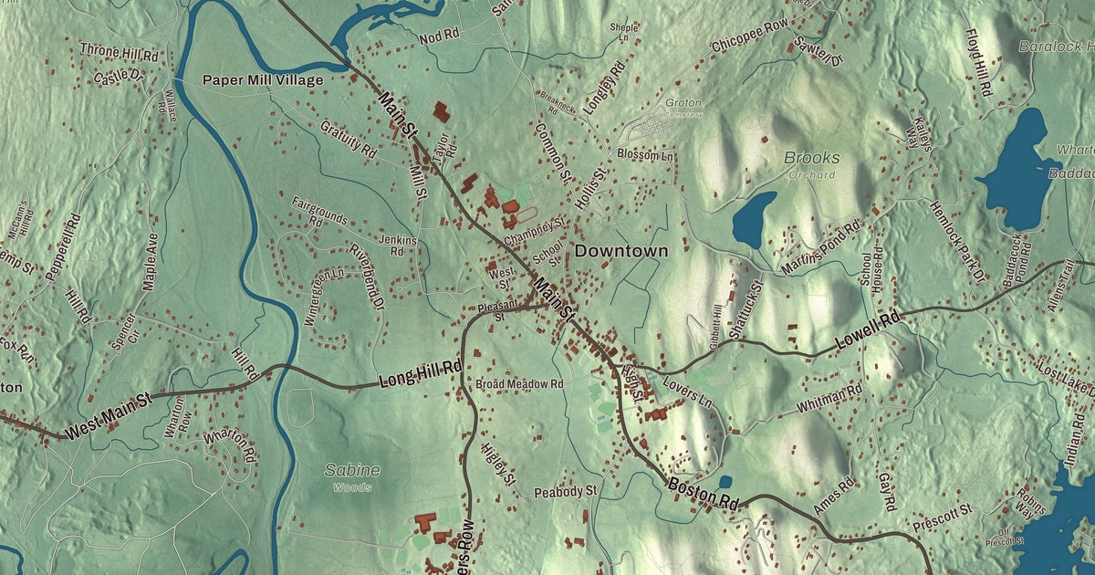
Groton spreads over more land than any other town in Middlesex County, with Gibbet Hill rising over its center and the Nashua River running through it. This map prints Main Street, West Main Street, Boston Road, Lowell Road, Forge Village Road and Farmers Row, with Baddacook Pond, Burnt Meadow Pond, the Nashua River Reservoir, Boutwell Island, Baralock Hill, Bear Hill and Brattle Hill. Click here to purchase a print of this map for your wall.
Groton is in Middlesex County.
KNOWOL made this map in 2026 from public survey data and gave it the look of an old atlas. The relief comes from United States Geological Survey elevation data, and the streets and the town line come from the Census Bureau. Groton covers 33.7 square miles, drained by the Nashua, Squannacook and Merrimack rivers, and state routes 40, 111, 119 and 225 cross it. As of 2017, 42% of its land was permanently protected from development, and the town has more than 100 miles of trails. Groton had 11,315 people at the 2020 census.
Petapawag
The Nashaway called the area Petapawag, “swampy land,” and the Nipmuc and Nashaway made trails linking it to Massachusetts Bay. John Tinker set up a trading post with the Nashaway where Nod Brook meets the Nashua River. The Town of Groton’s recorded history, in the Secretary of the Commonwealth’s list, dates European settlement to 1655, and Groton was incorporated as a town that same year, by a group that included Deane Winthrop. It was named for Groton in Suffolk, England, home of his father, Governor John Winthrop. The old Plantation of Groton took in all of today’s Groton and Ayer, most of Pepperell and Shirley, and parts of several other towns, reaching into what are now Nashua and Hollis, New Hampshire. Ayer split off in 1871. The town remains part of Middlesex County today.
Minutemen and Bunker Hill
After the Boston Tea Party, Groton voted to thank Boston for its “wise, prudent and spirited conduct” and agreed to boycott tea. In 1775 the local minutemen gathered on the common in front of the First Parish Church before marching toward Lexington and Concord, 101 men in all, though they arrived too late for the fighting. William Prescott, the American commander at the Battle of Bunker Hill, was born in Groton in 1726. The town page says Groton lost 10 or 12 men at Bunker Hill, more than any other town.
Black families were part of Groton’s story early on. Primus Lew bought a farm here in the 1750s, and his son Barzillai Lew, born free in Groton in 1743, served as a fifer with a Groton company in the French and Indian War. Pomp Phillis was called up to fight at Lexington and Concord.
Schools, a governor and a soapstone quarry
Groton is home to two well-known boarding schools. Lawrence Academy began as Groton Academy, chartered in 1793 by Governor John Hancock, and its page calls it the tenth-oldest boarding school in the United States. Groton School was founded in 1884 by Endicott Peabody, an Episcopal priest, and Franklin D. Roosevelt is among its graduates. George S. Boutwell, governor of Massachusetts when his house at 172 Main Street was built in 1851, later helped draft and pass the Fourteenth and Fifteenth Amendments and served as Secretary of the Treasury under Ulysses S. Grant. His daughter Georgianna left the house to the Groton Historical Society, which keeps its headquarters there.
By 1790 Groton was the second-largest town in Middlesex County, with 1,840 people. Farming came first, but in the early 1800s the Hollingsworth family of Hollingsworth & Vose took over a paper mill in West Groton, and in 1828 miners found a large soapstone quarry. The town page says Groton came to host the nation’s largest soapstone factory, which shipped as far as China, until the quarry closed in 1868.
The river that came back
In the 1960s the Nashua River was one of the ten most polluted rivers in the country, and on some days, the town page says, animals could run across the sludge. Marion Stoddart, who moved to Groton with her family in 1962, started a campaign to clean it up. She brought together thousands of ordinary citizens, labor leaders and the paper companies, and with federal help eight treatment plants were built or upgraded. By the early 1990s many parts of the river were safe for swimming again. The Nashua River Watershed Association, based in Groton, still watches over it, and 27 miles of the Nashua are now a National Wild and Scenic River.
The town has kept working to protect its land. When Geotel founder Steven Webber bought the 338-acre Gibbet Hill Farm to keep it from development, town meeting reportedly gave him a standing ovation. In 2017 Groton adopted the motto “All Are Welcome” and set six waystones carved with it on the main roads into town, and the Groton Hill Music Center opened in 2022 with a 1,000-seat concert hall on 110 acres of preserved farmland.
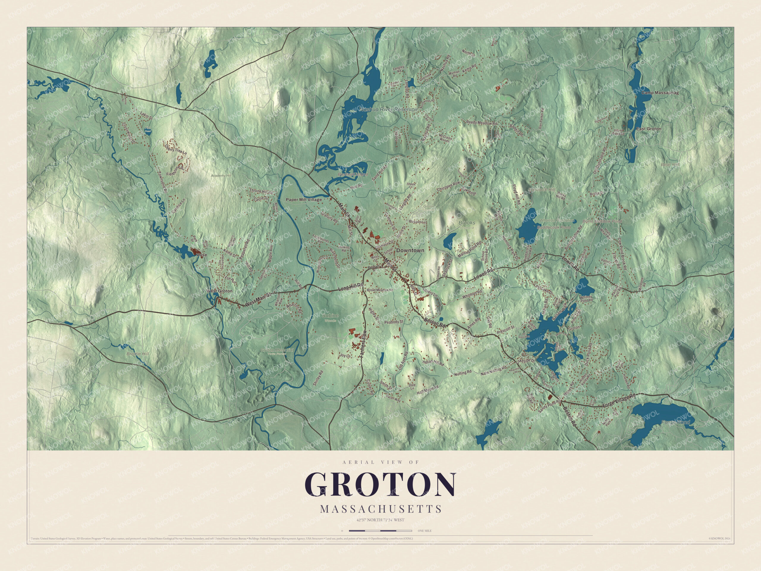
Click to explore a larger preview. The digital watermark does not appear on printed maps.
See it on a wall
The Groton map as a framed print. Swipe for more.


Around the map
Start with East Groton, then follow Boston Road, Farmers Row, Forge Village Road, West Main Street, Main Street and Lowell Road across town. Look outward toward Paper Mill Village, Vose and West Groton. Boutwell Island, Baddacook Pond, Burnt Meadow Pond, the Nashua River Reservoir, Baralock Hill, Bear Hill and Brattle Hill are all printed on the map. Every one of those names is right there on the artwork.
The Groton map makes a fine addition to an office, library or den, and it can help teach children the geography and history of the town whose people brought a river back to life. It’s made for people who call Groton home, from East Groton to West Groton, and it shows the town as it looks today. Zoom in on the preview above to explore the details, then click here to get your copy of the Groton, Massachusetts map.

Sources
- Groton, Massachusetts, Wikipedia
- William Prescott, Wikipedia
- Barzillai Lew, Wikipedia
- Lawrence Academy (Groton, Massachusetts), Wikipedia
- Groton School, Wikipedia
- George S. Boutwell, Wikipedia
- Gov. George S. Boutwell House, Wikipedia
- Marion Stoddart, Wikipedia
- Nashua River, Wikipedia
- Groton Hill Music Center, Wikipedia
- City and Town Incorporation and Settlement Dates, Secretary of the Commonwealth of Massachusetts (archived copy)