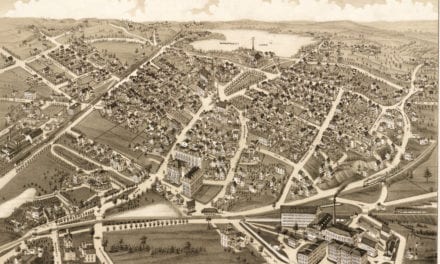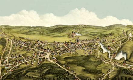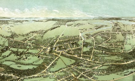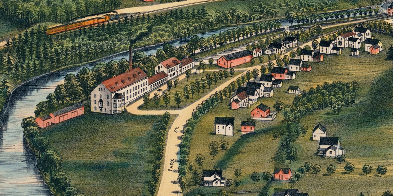
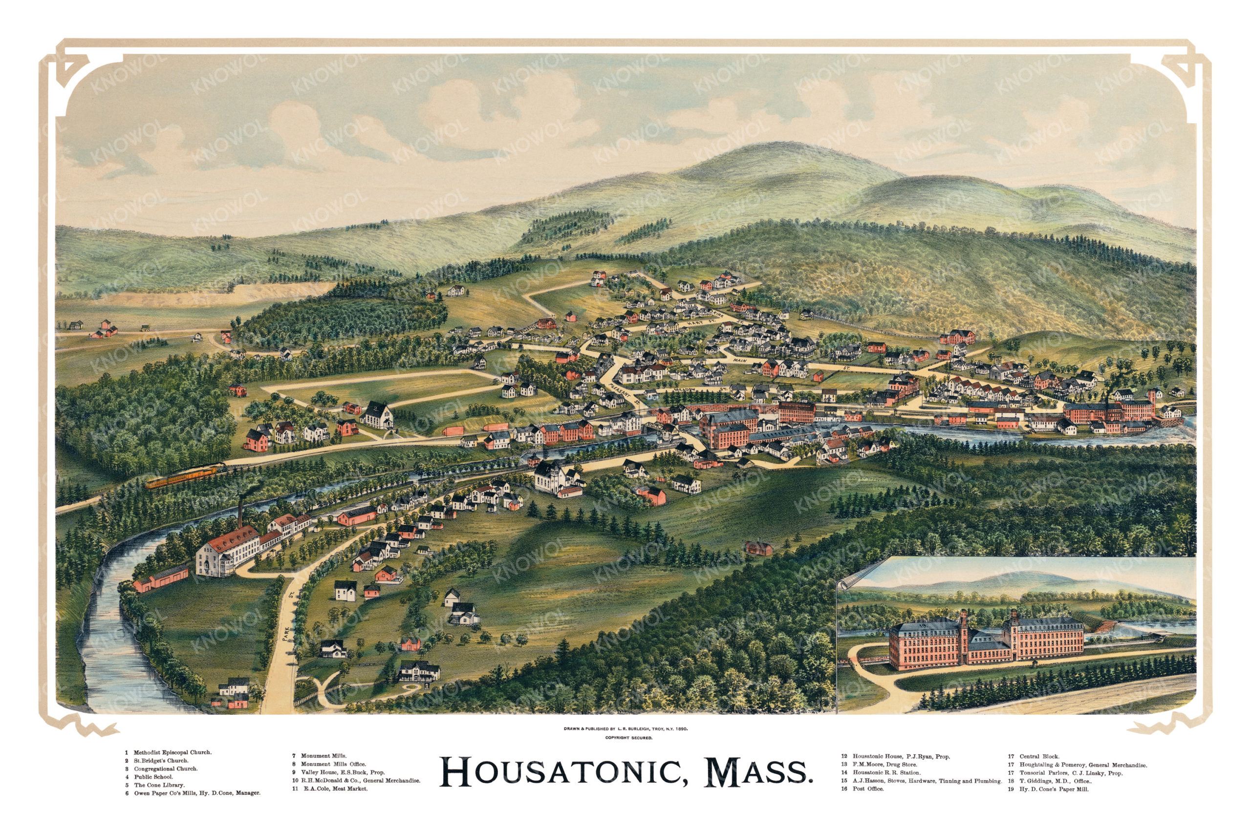
This historic map of Housatonic, Massachusetts was created in 1890 by Lucien Burleigh, a prominent 19th century map maker. The map shows a bird’s eye view of the area as it used to be, with street names and old landmarks.
Landmarks on the map include The Cone Library, Monument Mills, Valley House, Cole’s Meat Market, Owen Paper Company’s Mills, Housatonic House, Housatonic Railroad Station, and more.
This historic map of Housatonic has been restored by KNOWOL. Reproductions of the restored map are available here.
Historic Old Map of Housatonic, Massachusetts from 1890
This vintage map of Housatonic makes an attractive addition to your office, library, or den, and can even be used to teach children the geography and history of the area. When you’re done exploring, click here to get your copy of the restored map.