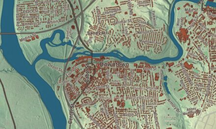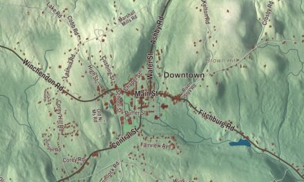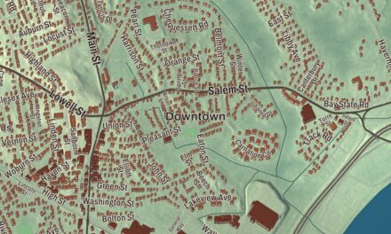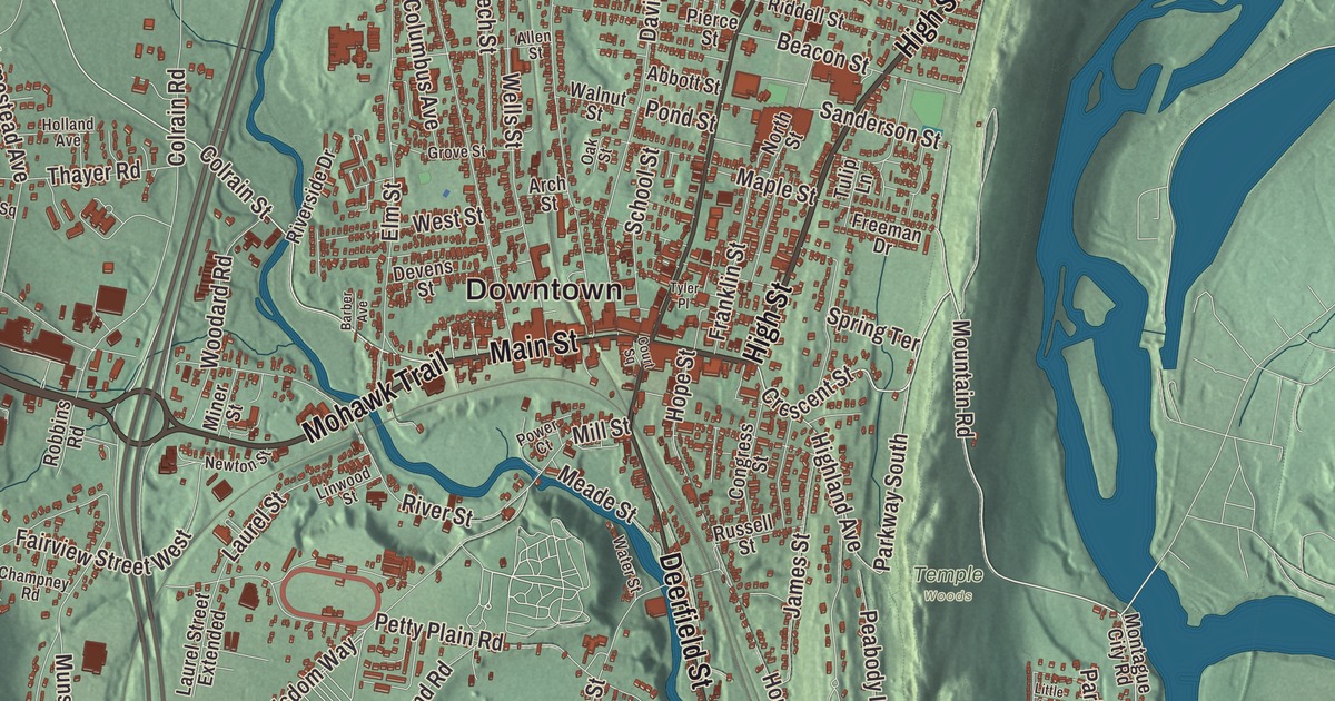
If you grew up in Greenfield, you know the painted bees downtown, the view from Poet’s Seat and the three rivers that meet below town. This map prints Main Street, High Street, Federal Street, Bernardston Road, the Mohawk Trail and French King Highway, with Canada Hill, Great Hill, Maynard Pond, Barton Island, the Connecticut River Reservoir and the Montague Power Canal Reservoir. Click here to purchase a print of this map for your wall.
Greenfield is in Franklin County.
KNOWOL made this map in 2026 from public survey data and gave it the look of an old atlas. The relief comes from United States Geological Survey elevation data, and the streets and the city line come from the Census Bureau. Greenfield covers 22 square miles at the meeting of the Deerfield, Green and Connecticut rivers, with the Fall River marking its line with Gill. The center sits on high ground above the rivers, beside the Pocumtuck Range. Greenfield is the county seat and the only city in Franklin County, and it had 17,768 people at the 2020 census.
From Deerfield to county seat
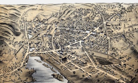
The Pocumtuck nation first lived here, planting fields and fishing the rivers, and Native artifacts found in the area date back to between 7,000 and 9,000 BCE. English colonists settled the land as part of Deerfield in 1686. The City of Greenfield’s recorded history, in the Secretary of the Commonwealth’s list, dates European settlement to 1686 and says Greenfield was incorporated as a town in 1775, the year the Main Street Historic District’s page also gives. The town page instead dates its separation from Deerfield to 1753. Either way, it was named for the Green River. Greenfield became the shire town, or county seat, when Franklin County was created from Hampshire County in 1811. Today, Greenfield is a city in Franklin County.
The South Hadley Canal opened in 1795 and let boats reach Greenfield up the Connecticut, and the town grew into a trade center and a mill town powered by its falls. John Russell started the Green River Works in 1834 with skilled German workers, and the town page calls it the country’s first cutlery factory. Later the railroad replaced the canal trade, and through the 19th and 20th centuries Greenfield was one of the most important American centers of the tap and die business, home of Greenfield Tap & Die.
The bee town
Lorenzo Langstroth, called the father of American beekeeping, was pastor of Greenfield’s Second Congregational Church from 1843 to 1848 and then ran a young ladies’ school in town. He put the principle of “bee space” to work in the movable-frame design now called the Langstroth hive. In 1948 beekeepers placed a large granite marker on the church’s front lawn in his honor. The church started Bee Fest in 2010, on the 200th anniversary of his birth, and it’s now held every spring. Since 2021 the city has added nine large bee sculptures designed by the local artist Rachael Katz, with colorful themes from other local artists, along with a bee crosswalk and a pocket park.
Main Street and Poet’s Seat
The Main Street Historic District, listed on the National Register in 1988, runs along Main Street roughly from Chapman Street to Franklin Street and takes in the town hall, the county courthouse, the 19th-century banks on Bank Row and the 1915 post office. The Leavitt-Hovey House at 402 Main Street was designed in 1797 by the architect Asher Benjamin for Judge Jonathan Leavitt, and it served as the public library from 1909 until 2023. Up in Rocky Mountain Park, Poet’s Seat Tower, a sandstone observation tower from 1912, is named for the poets drawn to the spot, above all Frederick Goddard Tuckerman, who called it “Poet’s Seat” by 1850. The city’s Fourth of July fireworks go up there. Greenfield is also known for contra dancing, and on Shelburne Road, just past the Route 2 bridge, there’s a gravity hill where a car in neutral seems to roll uphill.
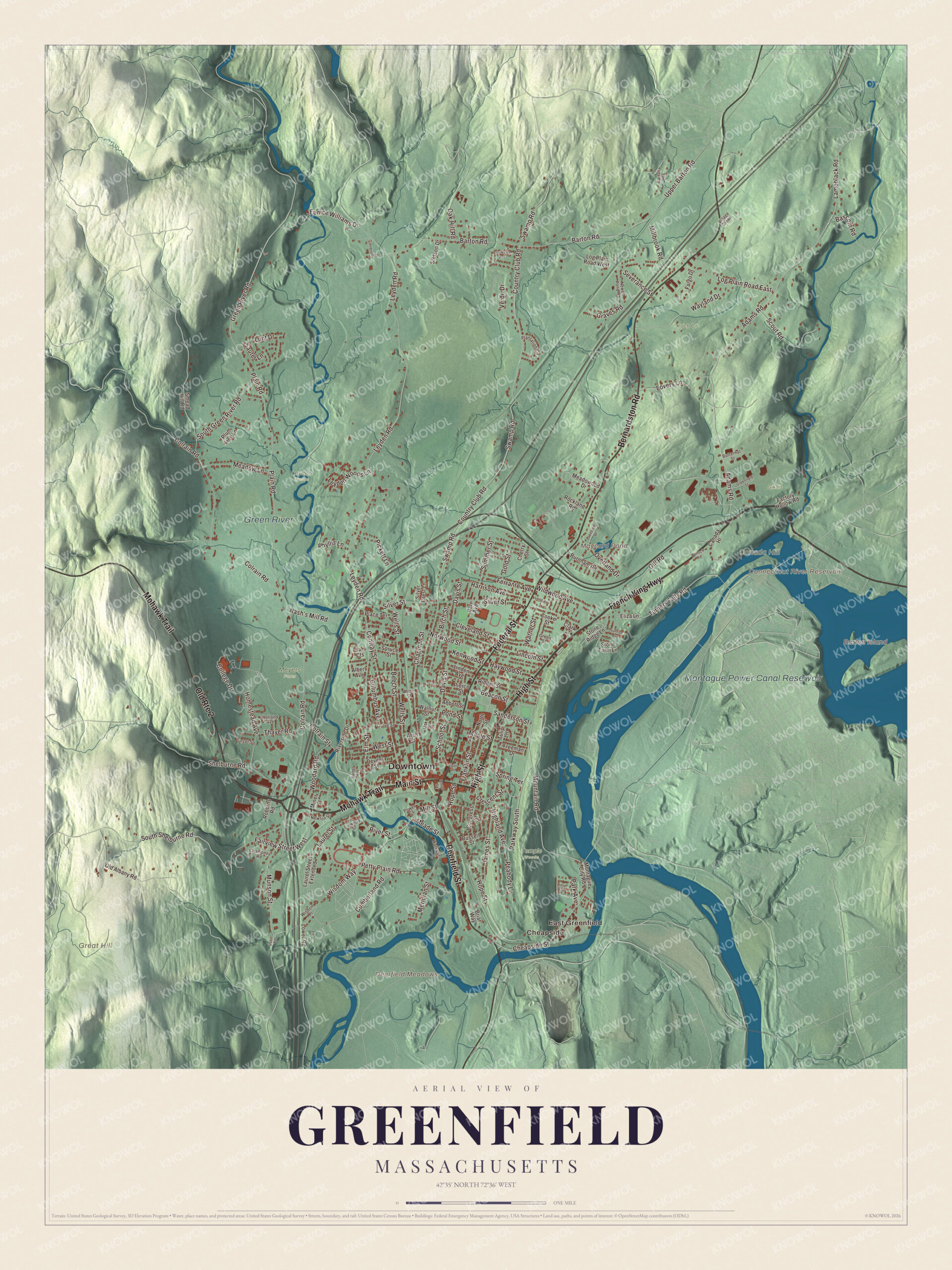
Click to explore a larger preview. The digital watermark does not appear on printed maps.
Names on this map
These names are printed on this map.
Places: Downtown, Cheapside, East Greenfield, Barton Island, Canada Hill, Deerfield Meadows, Great Hill, Connecticut River Reservoir, Maynard Pond, Montague Power Canal Reservoir, Green River, Giknis, Koch Cr, Leyden Woods, Meyers Farm and Temple Woods.
Streets and roads: Mohawk Trail, French King Highway, High Street, Main Street, Old Route 2, Federal Street, Bernardston Road, Deerfield Street, Adams Road, Mountain Road, Crescent Street, Lampblack Road.
More street names, A to Z
Abbott Street, Albert Avenue, Allen Street, Arch Street, Barber Avenue, Barr Avenue, Barton Heights, Barton Road, Bascom Road, Beacon Street, Beech Street, Birch Street, Briar Way, Brookside Avenue, Burnham Road, Butternut Street, Canada Hl, Champney Road, Chapman Street, Cheapside Street, Cherry Street, Clark Street, Cleveland Street, College Drive, Colrain Road, Colrain Street, Columbus Avenue, Congress Street, Conway Street, Cooke Street, Country Club Road, Court Square, Cumberland Road, Davis Street, Devens Street, Eliza Lane, Elm Street, Eunice Williams Drive, Factory Hollow Road, Fairview Street West, Fargo Drive, Ferrante Avenue, Franklin Street, Freeman Drive, Gill Road, Glenbrook Drive, Gold Street, Graves Road, Greenfield Street, Green River Road, Green Street, Grove Street, Harrison Avenue, Haywood Street, Highland Avenue, Holland Avenue, Homestead Avenue, Hope Street, James Street, Kenwood Street, Lakeview Drive, Laurel Street, Laurel Street Extended, Leyden Road, Leyden Woods Lane, Lincoln Street, Linden Avenue, Linwood Street, Little Avenue, Log Plain Road East, Log Plain Road West, Long Avenue, Lovers Lane, Lower Road, Lunt Drive, Maple Street, Meade Street, Meadow Lane, Meadowood Drive, Meridian Street, Millbrook Road, Mill Street, Miner Street, Montague City Road, Munson Street, Nash's Mill Road, Newell Pond Road, Newton Street, North Street, Norwood Street, Oak Cts, Oak Hill Road, Oak Street, Old Albany Road, Overland Drive, Park Avenue, Parkway South, Peabody Lane, Petty Plain Road, Phyllis Lane, Pickett Lane, Pierce Street, Place Terrace, Plain Road, Plantation Circle, Plum Tree Lane, Pond Street, Power Court, Riddell Street, Riverside Drive, River Street, Robbins Road, Rockland Road, Russell Street, Sanderson Street, Sauter Lane, School Street, Scout Road, Severance Street, Shelburne Road, Silver Crest Lane, Silver Street, Smead Hill Road, South Green River Road, South Shelburne Road, Spring Terrace, Spruce Street, Stetson Drive, Stone Farm Lane, Stone Ridge Lane, Summer Street, Sunrise Avenue, Sunset Square, Swamp Road, Thayer Road, Tulip Lane, Turners Falls Road, Tyler Place, Upper Barton Road, Upper Road, Verde Drive, Village Green, Walnut Street, Warner Street, Water Street, Wayland Drive, Wells Street, West Street, Wildwood Avenue, Wisdom Place, Wisdom Way, Woodard Road, Wunsch Road.
See it on a wall
The Greenfield map as a framed print. Swipe for more.


Around the map
Start with Cheapside, then follow the Mohawk Trail, French King Highway, High Street, Main Street, Federal Street and Bernardston Road across the city. Look outward toward East Greenfield. Barton Island, the Connecticut River Reservoir, Maynard Pond, the Montague Power Canal Reservoir, Canada Hill and Great Hill are all printed on the map. The Mohawk Trail follows Route 2A through the town centers of Athol, Orange and Greenfield before it joins Route 2, and Route 2A ends here. Barton Island itself lies in the Connecticut in Gill, near Barton Cove.
The Greenfield map makes a fine addition to an office, library or den, and it can help teach children the geography and history of the city where three rivers meet. It’s made for people who call Greenfield home, from Cheapside to East Greenfield, and it shows the city as it looks today. Zoom in on the preview above to explore the details, then click here to get your copy of the Greenfield, Massachusetts map.

Sources
- Greenfield, Massachusetts, Wikipedia
- Main Street Historic District (Greenfield, Massachusetts), Wikipedia
- Green River (Deerfield River tributary), Wikipedia
- L. L. Langstroth, Wikipedia
- Leavitt-Hovey House, Wikipedia
- Poet’s Seat Tower, Wikipedia
- Mohawk Trail, Wikipedia
- Barton Island, Wikipedia
- City and Town Incorporation and Settlement Dates, Secretary of the Commonwealth of Massachusetts (archived copy)