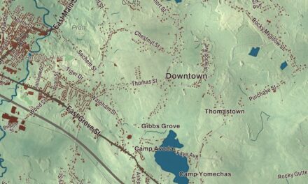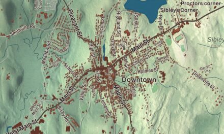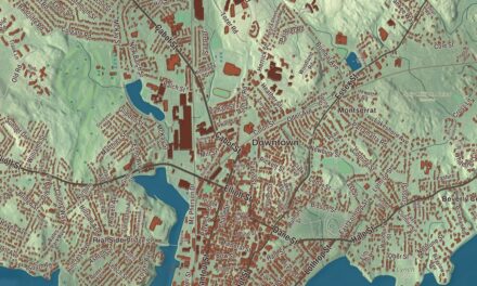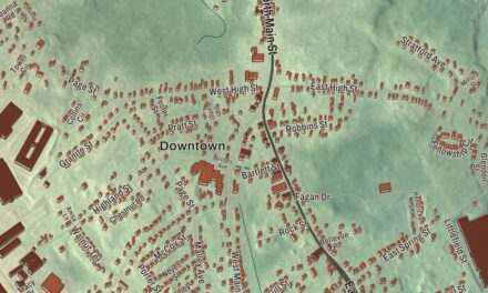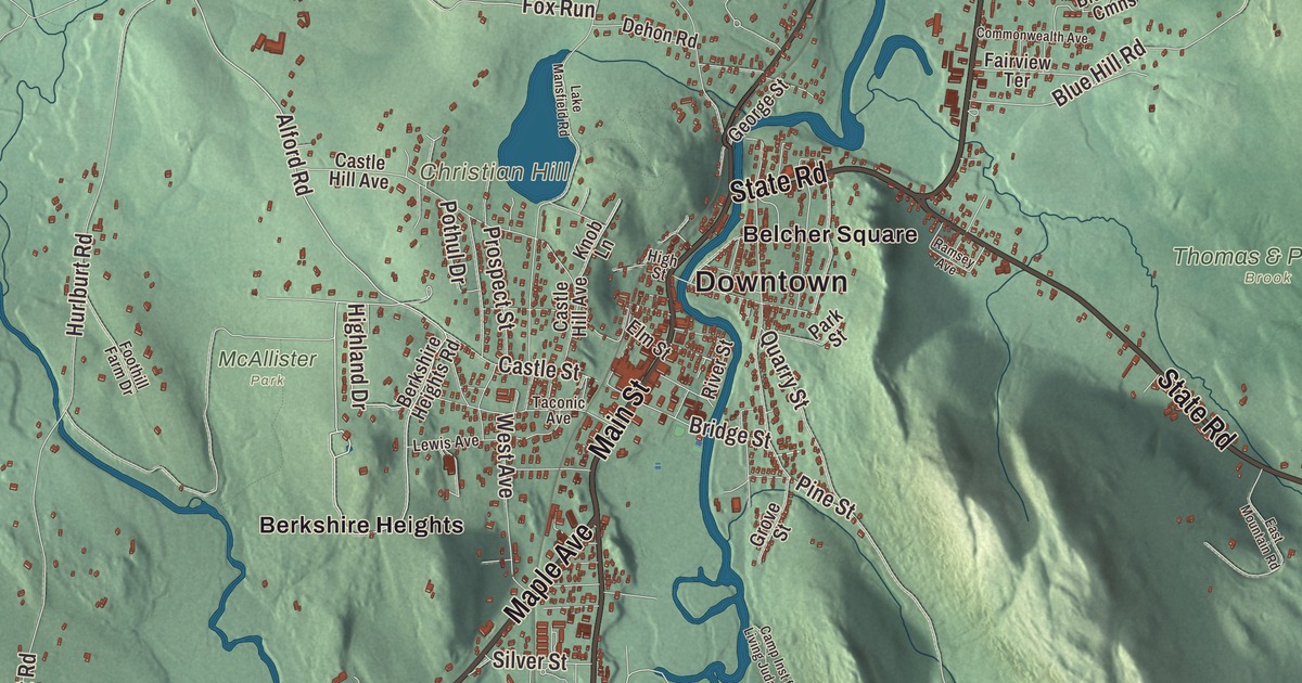
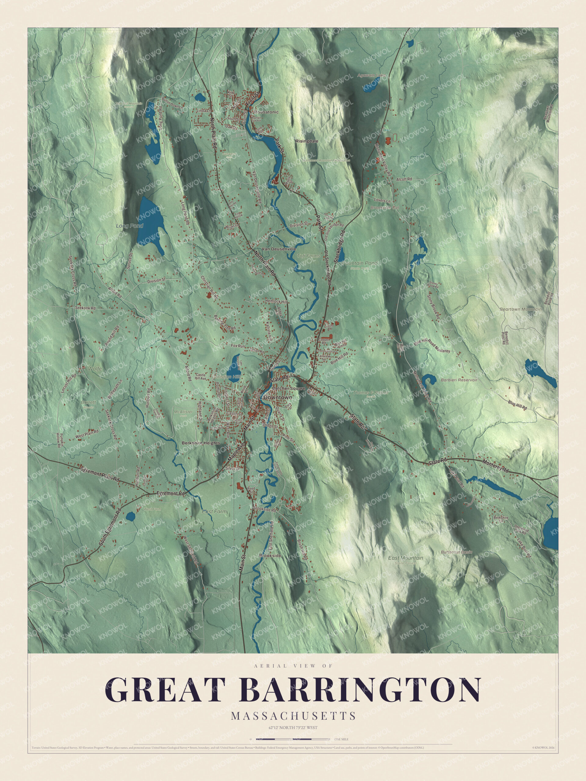
Great Barrington is where William Stanley lit Main Street with alternating current in 1886, and where W. E. B. Du Bois was born in 1868. This map prints Main Street, Stockbridge Road, Maple Avenue, Egremont Road, Egremont Plain Road and Front Street, with Monument Mountain Reservation, Beartown Mountain, Christian Hill, Agawam Lake, Long Pond and the Barbieri Reservoir. Click here to purchase a print of this map for your wall.
Great Barrington is in Berkshire County.
KNOWOL made this map in 2026 from public survey data and gave it the look of an old atlas. The relief comes from United States Geological Survey elevation data, and the streets and the town line come from the Census Bureau. Great Barrington covers 45.8 square miles in the valley of the Housatonic River, with the Williams and Green rivers flowing in and East Mountain, Beartown Mountain and Monument Mountain rising to the east. It includes the villages of Great Barrington, Van Deusenville and Housatonic, and it had 7,172 people at the 2020 census.
Mahaiwe
The Mahican called the area Mahaiwe, “the place downstream,” and it lay on the New England Path between Fort Orange, near Albany, and Springfield. In 1724 Captain John Ashley of Westfield bought the land that became Great Barrington, Sheffield, Egremont, Alford and Mount Washington from 21 Native sachems led by Konkapot, for whom the Konkapot River is named. The Town of Great Barrington’s recorded history, in the Secretary of the Commonwealth’s list, dates European settlement to 1726, as the town page does. From 1742 the village was the north parish of Sheffield, and in 1761 it was incorporated as a town named for Great Barrington in Gloucestershire, England. The town remains part of Berkshire County today.
In the summer of 1774 local colonists shut down the Berkshire County Court for a time in protest against British policies. In the winter of 1776 Henry Knox came through town hauling the “noble train of artillery” from Fort Ticonderoga to the siege of Boston. When the railroad arrived later in the 1800s, Great Barrington became a Gilded Age resort, and wealthy families built grand houses called Berkshire Cottages. Searles Castle, a seven-story French chateau-style house with 40 rooms, built in the 1880s, was the home of Mary Hopkins, widow of the Central Pacific Railroad founder Mark Hopkins, and her second husband, Edward Searles. In 1895 Colonel William L. Brown gave the town a statue of a newsboy, now a landmark at its western edge.
Main Street’s lights
In 1885 the electrical engineer William Stanley Jr., working for George Westinghouse, moved his operations to Great Barrington. He built his equipment at the “Old Rubber Factory” south of Cottage Street, strung wires from tree to tree, and in March 1886 switched on an alternating current system that soon lit 23 businesses along Main Street. His transformers stepped 500 volts down to 100 for the lamps. The town page calls it the world’s first practical demonstration of an alternating current system with transformers, Stanley’s page calls it the first complete system of high voltage alternating current transmission, and the electrification of Main Street was named an IEEE Milestone. Stanley died at his home in Great Barrington in 1916.
W. E. B. Du Bois
W. E. B. Du Bois was born in Great Barrington on February 23, 1868. His mother’s family, the Burghardts, were part of the town’s small free black community and had long owned land in the state, and he spent his first five years in his grandfather’s house near Egremont Plain. Members of the First Congregational Church, the stone church at 241 Main Street, raised money to help send him to Fisk University. He went on to become the first African American to earn a doctorate at Harvard, wrote The Souls of Black Folk, and in 1909 helped found the NAACP. The W. E. B. Du Bois Boyhood Homesite, on South Egremont Road, was named a National Historic Landmark in 1976.
A mountain, a theater and a song
Monument Mountain was a sacred place to the ancestors of the Mohican people, who left stones atop a monument that gave the mountain its name. William Cullen Bryant wrote a poem about it in 1815, and in 1850 Nathaniel Hawthorne and Herman Melville picnicked there and sheltered from a thunderstorm in a boulder cave, a talk that helped shape some of Melville’s ideas for Moby Dick. The reservation, run by The Trustees of Reservations, covers 503 acres. In 2021 the Trustees renamed its summit Peeskawso Peak after working with the Stockbridge-Munsee Community Band of Mohicans.
The Mahaiwe theater opened on September 26, 1905, and reopened after restoration as the Mahaiwe Performing Arts Center. Housatonic, the village in the north of town, grew up in the early 1800s around textile and paper mills, and at its peak Monument Mills had 500 workers. Arlo Guthrie’s song “Alice’s Restaurant” is based on real events in Great Barrington, Stockbridge and Lee, and the old Trinity Church where Ray and Alice Brock lived, now owned by Guthrie, stands at 4 Van Deusenville Road. Ski Butternut, also called Butternut Basin, is on Warner Mountain, named by Channing and Jane Murdock in 1963 for the butternut trees in the basin. The town was named an Appalachian Trail Community in 2009, and the trail crosses East Mountain State Forest in the southeast corner of town.
Click to explore a larger preview. The digital watermark does not appear on printed maps.
Names on this map
These names are printed on this map.
Places: Downtown, Housatonic, Brookside, Beartown Mountain, Brookside Col, Butternut Basin, Christian Hill, Agawam Lake, Barbieri Reservoir, Long Pond, Barrett Woods, East Farm, East Mountain State Forest, Fountain Pond State Park, McAllister Park, Monument Mountain Reservation, Sunways Farm, Taft Farms, Thomas & Palmer Brook, Tom Ball Mountain Reserve, West Farm, Wolfe, Belcher Square, Berkshire Heights, Risingdale and Van Deusenville.
Streets and roads: Stockbridge Road, Maple Avenue, Egremont Road, Egremont Plain Road, Front Street, Main Street, State Road, Park Street, North Plain Road, South Egremont Road, Monterey Road, Alford Road.
More street names, A to Z
Abbey Hill, Alcott Road, Beartown Mountain Road, Benedict Pond Road, Berkshire Circle, Berkshire Heights Road, Blue Hill Cmns, Blue Hill Lane, Blue Hill Road, Blue Hill Road Monterey, Bridge Street, Bridlepath Lane, Brookside Road, Brush Hill Road, Burning Tree Road, Butternut Lane, Button Down Lane, Camp Inst for Living Judaism, Castle Hill Avenue, Castle Street, Christian Hill Road, Commonwealth Avenue, Cone Avenue, Cooper Road, Cornwall Drive, Crissey Road, Deer Trail Road, Deerwood Park Road, Dehon Road, Division Street, East Mountain Road, East Sheffield Road, Elm Street, Fairview Terrace, Fog Hollow, Foothill Farm Drive, Fox Run, George Street, Grove Street, Hemlock Hill, Highland Drive, High Street, Hurlburt Road, Kalliste Hill, Kirk Street, Knob Lane, Lake Buel Road, Lake Mansfield Road, Lewis Avenue, Linda Lane, Locust Hill Road, Long Pond Road, Lovers Lane, Maple Street, Monument Valley Road, Mountain View Avenue, Oak Street, Old Stockbridge Road, Pine Street, Pothul Drive, Prospect Street, Pumpkin Hollow Road, Quarry Street, Ramsdell Road, Ramsey Avenue, Reed Street, River Street, Round Hill Road, Seekonk Cross Road, Seekonk Road, Silver Street, South Street, Spruce Drive, Stoney Brook Road, Stony Brook Road, Taconic Avenue, Van Deusenville Road, West Avenue, West Plain Road, West Sheffield Road, Wright Lane.
See it on a wall
The Great Barrington map as a framed print. Swipe for more.


Around the map
Start with Housatonic, then follow Stockbridge Road, Maple Avenue, Egremont Road, Egremont Plain Road, Front Street and Main Street across town. Look outward toward Brookside, Belcher Square, Berkshire Heights, Risingdale and Van Deusenville. Agawam Lake, the Barbieri Reservoir, Long Pond, Monument Mountain Reservation, Beartown Mountain, Christian Hill, Brookside Col and Butternut Basin are all printed on the map. Every one of those names is right there on the artwork.
The Great Barrington map makes a fine addition to an office, library or den, and it can help teach children the geography and history of the town where W. E. B. Du Bois was born. It’s made for people who call Great Barrington home, from Housatonic to Van Deusenville, and it shows the town as it looks today. Zoom in on the preview above to explore the details, then click here to get your copy of the Great Barrington, Massachusetts map.

Sources
- Great Barrington, Massachusetts, Wikipedia
- Searles Castle (Massachusetts), Wikipedia
- William Stanley Jr., Wikipedia
- W. E. B. Du Bois, Wikipedia
- W. E. B. Du Bois Boyhood Homesite, Wikipedia
- Society of the Congregational Church of Great Barrington, Wikipedia
- Monument Mountain (reservation), Wikipedia
- Mahaiwe Performing Arts Center, Wikipedia
- Housatonic, Massachusetts, Wikipedia
- Ski Butternut, Wikipedia
- City and Town Incorporation and Settlement Dates, Secretary of the Commonwealth of Massachusetts (archived copy)