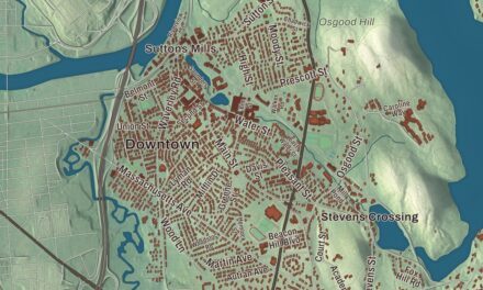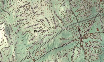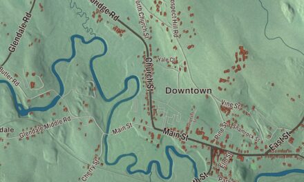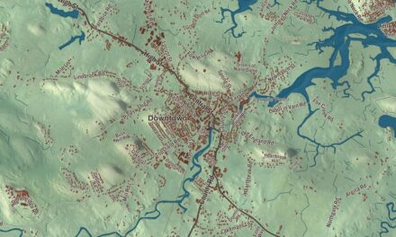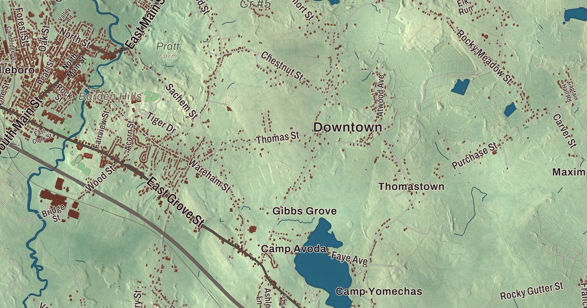
Middleborough is a town of herring and cranberries: each spring millions of fish run up the Nemasket River toward Assawompset Pond, and cranberry bogs spread across the southeast corner of town along the Carver line. This map prints South Main Street, East Main Street, Wareham Street, Bedford Street and East Grove Street, with Assawompset Pond, Long Pond, Bettys Neck and Alden Hill. Click here to purchase a print of this map for your wall.
Middleborough is in Plymouth County.
KNOWOL made this map in 2026 from public survey data and finished it in the manner of an old county atlas. United States Geological Survey elevation data shapes the land, and the Census Bureau supplied the streets and the town line. Middleborough is big: 72.2 square miles, and the town page ranks it second among Massachusetts municipalities by land area. It’s bordered by Bridgewater and Halifax on the north, Plympton and Carver on the east, Wareham and Rochester on the south, and Lakeville, Taunton and Raynham on the west, and it had 24,405 people in 2023. Its waters drain two ways: the Taunton and Nemasket rivers run southwest toward Narragansett Bay, while the Weweantic River and the rest run south to Buzzards Bay.
Nemasket
The town’s first name came from a Native settlement along the small river that still carries it. Nemasket may have meant “place of fish,” for the herring that climb the river every spring. Europeans settled here in 1661, by the town page’s count, while the Town of Middleborough’s recorded history, in the Secretary of the Commonwealth’s list, dates European settlement to 1660. Middleborough was incorporated as a town in 1669. The town page traces the names Middlebury, Middleboro and Middleborough to Middelburg in Zeeland, in the Netherlands, where the English dissenters known as the Brownists built up their church government before sailing on the Mayflower; it calls them the earliest settlers of Middleborough. During King Philip’s War the whole town sheltered in a fort on the Nemasket River, then withdrew to the shelter of Plymouth Colony, and the village was burned in their absence; a state marker on Route 105 now shows where the fort stood. In 1853 the western part of town broke away as Lakeville. The town remains part of Plymouth County today.
Isaac Backus, born in Norwich, Connecticut, came to Middleborough in 1748 to lead a New Light church and in 1756 organized a Separate Baptist church here, which he served until his death in 1806. From Middleborough he campaigned against state-established churches across New England, and in 1774 he traveled to Philadelphia with other Baptists to seek help from the First Continental Congress. Deborah Sampson spent her girlhood here as an indentured servant in the Jeremiah Thomas household from 1770 to 1778, learning from the lessons the Thomas sons shared with her, and afterward she taught school and worked as a weaver. In 1782 she enlisted under the name Robert Shirtliff and spent 17 months in uniform in the Continental Army before she was found out and honorably discharged. Massachusetts named her its Official Heroine in 1983. Enoch Pratt, born in Middleborough in 1808, went south to Baltimore with $150, built a fortune in hardware, banking and railroads, and gave that city the Enoch Pratt Free Library.
Shoes, fire engines and cranberries
Middleborough was once a big producer of shoes, and the Alden Shoe Company is still here; the town page calls it one of the last shoe manufacturers left in America. In 1914 the town’s fire chief, Carlton Maxim, decided he could build a better fire engine than the one the town had just bought. His Maxim Motor Company made more than 3,000 fire engines before it closed in 1989, and the Middleborough Historical Museum on Jackson Street shows a 1934 Maxim. The museum also keeps a large collection of belongings of Lavinia Warren, born in Middleborough in 1841, and her husband Charles Stratton, the performers known under P. T. Barnum as Lavinia Warren and General Tom Thumb. Their Second Empire summer house from the 1870s, with an interior scaled to the couple, joined the National Register in 1993. Middleborough calls itself the “Cranberry Capital of the World,” and in 2015 about 1,400 acres of town land grew the crop, 3% of the country’s cranberry bog acreage. Little League teams from Middleborough reached the Little League World Series in 1994 and again in 2022.
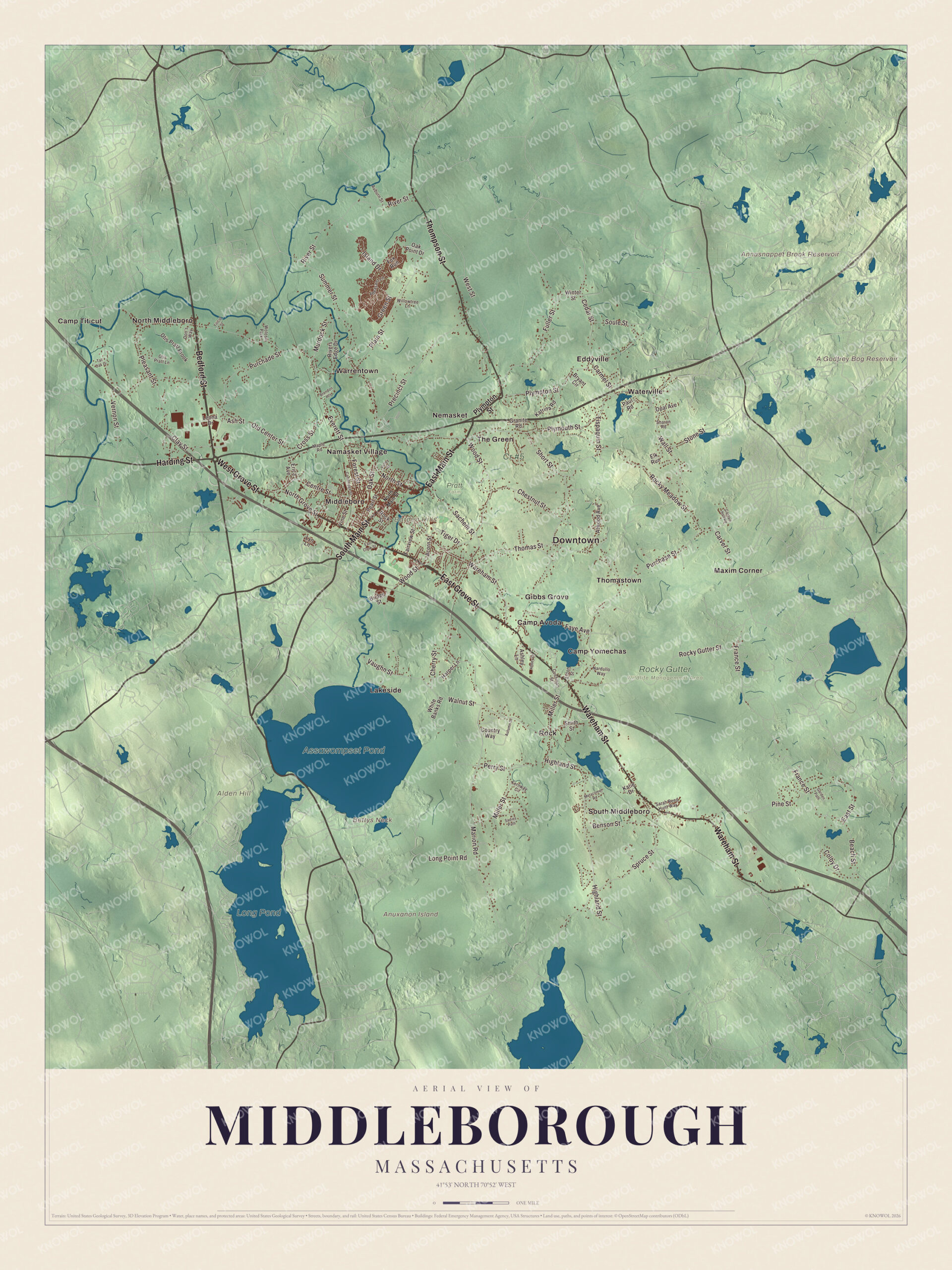
Click to explore a larger preview. The digital watermark does not appear on printed maps.
Names on this map
These names are printed on this map.
Places: Downtown, Alden Hill, Anuxanon Island, Barden Hills, Bettys Neck, A Godfrey Bog Reservoir, Annasnappet Brook Reservoir, Assawompset Pond, Long Pond, Cr #5, Pratt Farm, Rocky Gutter Wildlife Management Area, Camp Avoda, Camp Titicut, Camp Yomechas, Eddyville, Gibbs Grove, Lakeside, Maxim Corner, Middleboro, Namasket Village, Nemasket, North Middleboro, Rock, South Middleboro, The Green, Thomastown, Warrentown, Waterville and Woloski Park.
Streets and roads: East Grove Street, West Grove Street, East Main Street, South Main Street, Bedford Street, Wareham Street, Harding Street, Thompson Street, Centre Street, Plympton Street, Old Center Street, West Street.
More street names, A to Z
Abbey Lane, Acorn Street, Ashley Lane, Ash Street, Atwood Avenue, Auburn Street, Autumn Drive, Beach Street, Benson Street, Brendon Heights, Bridge Street, Bryant Circle, Cambridge Street, Captain Hall Road, Carmel Street, Carver Street, Cedar Street, Cherry Street, Chestnut Street, Clay Street, Colby Drive, Country Way, Cross Street, Cushman Street, Don's Way, East Clark Street, East Street, Eldon Street, Elk Run, Erica Avenue, Everett Street, Fairview Street, Faye Avenue, Fernway Circle, Forest Street, Fox Run, France Street, Fuller Street, Garden Path, Granite Road, Green Street, Harper Lane, Highland Street, Island Drive, Katie Drive, Katrina Road, Leona Drive, Long Point Road, Lyn Lane, Maple Road, Marion Road, Metacomet Road, Miller Street, Murdock Street, Nardullo Way, North Grove Street, North Main Street, North Street, Oak Point Drive, Oak Street, Opal Avenue, Otis Pratt Brook, Otis Pratt Lane, Paul Road, Pearl Street, Perry Street, Pheasant Lane, Pine Street, Plain Street, Pleasant Street, Plymouth Street, Precinct Street, Purchade Street, Purchase Street, Rivers Edge Drive, River Street, Rock Street, Rocky Gutter Street, Rocky Meadow Street, Sachem Street, Sadies Path, Sarah Reed Hunt Way, Sharon Road, Short Street, Smith Street, Soule Street, Spruce Street, Stone Street, Summer Street, Tall Oak Drive, Thomas Street, Tiger Drive, Tispaquin Street, Titicut Street, Valley Road, Vaughn Street, Vernon Street, Vine Street, Wall Street, Walnut Street, White Banks Road, Willowtree Lane, Winter Street, Wood Street.
See it on a wall
The Middleborough map as a framed print. Swipe for more.


Around the map
Start with Eddyville. Follow East Grove Street, West Grove Street, East Main Street, South Main Street, Bedford Street and Wareham Street across town. Then look outward toward Gibbs Grove, Lakeside, Maxim Corner, Middleboro and Namasket Village. Annasnappet Brook Reservoir, Assawompset Pond, Long Pond, Alden Hill, Anuxanon Island and Bettys Neck are all printed on the map, the names lettered straight onto the artwork.
Wareham Street is one of the popular spots to slip a canoe into the Nemasket, which flows 11.2 miles north from Assawompset Pond to the Taunton River. Assawompset Pond lies in both Lakeville and Middleborough, shares its waters with Long Pond, and helps supply drinking water to New Bedford; at almost four square miles, its page calls it the largest natural lake in Massachusetts. A dam built in 1894 where the Nemasket leaves the pond raised it about five feet. Bettys Neck, on the pond’s shore, was a summer camp for Wampanoag families, who came up the Taunton and Nemasket rivers each spring for the herring run, and each spring the herring still run up to the ponds to spawn.
The Middleborough map makes a good addition to an office, library or den, and it can help teach children the geography and history of a town of rivers, ponds and bogs. It’s made for people who call Middleborough home, from Eddyville to Namasket Village, and it shows the town as it looks today. Zoom in on the preview above to explore the details, then click here to get your copy of the Middleborough, Massachusetts map.

Sources
- Middleborough, Massachusetts, Wikipedia
- Isaac Backus, Wikipedia
- Deborah Sampson, Wikipedia
- Enoch Pratt, Wikipedia
- Maxim Motor Company, Wikipedia
- Middleborough Historical Museum, Wikipedia
- Lavinia Warren, Wikipedia
- Tom Thumb House (Middleborough, Massachusetts), Wikipedia
- Nemasket River, Wikipedia
- Assawompset Pond, Wikipedia
- City and Town Incorporation and Settlement Dates, Secretary of the Commonwealth of Massachusetts (archived copy)