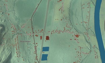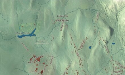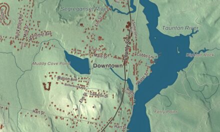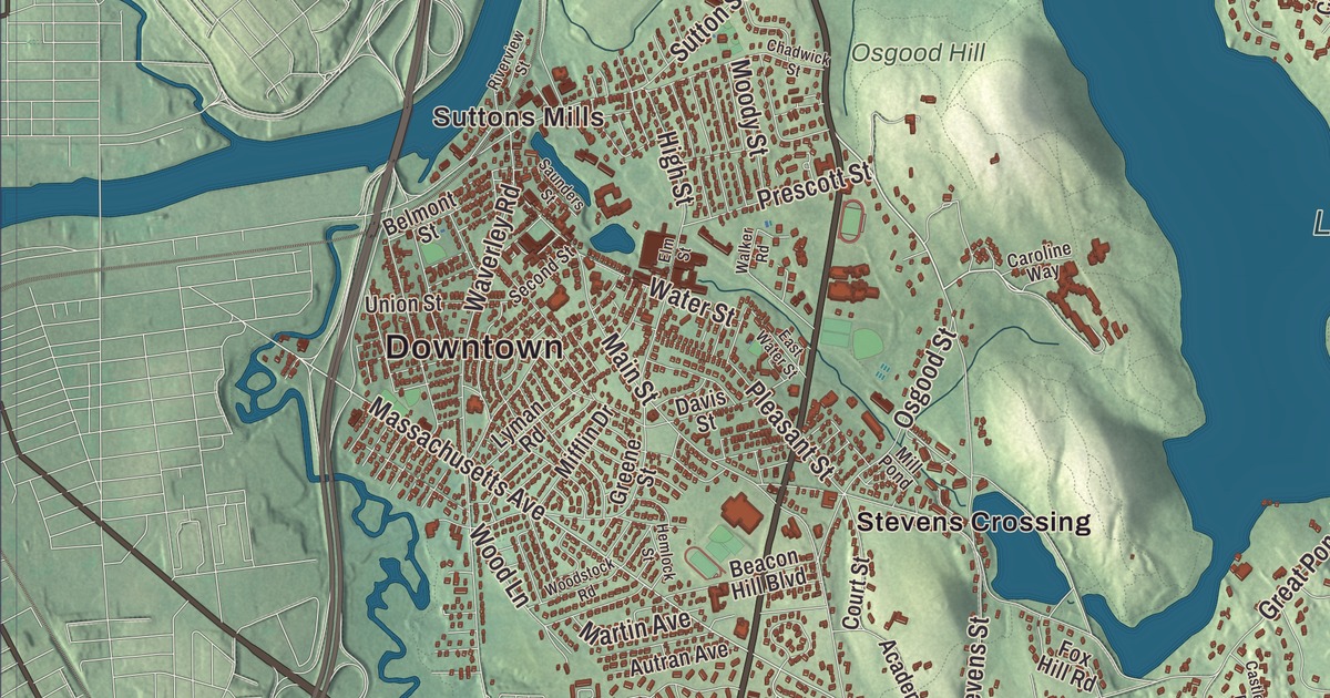
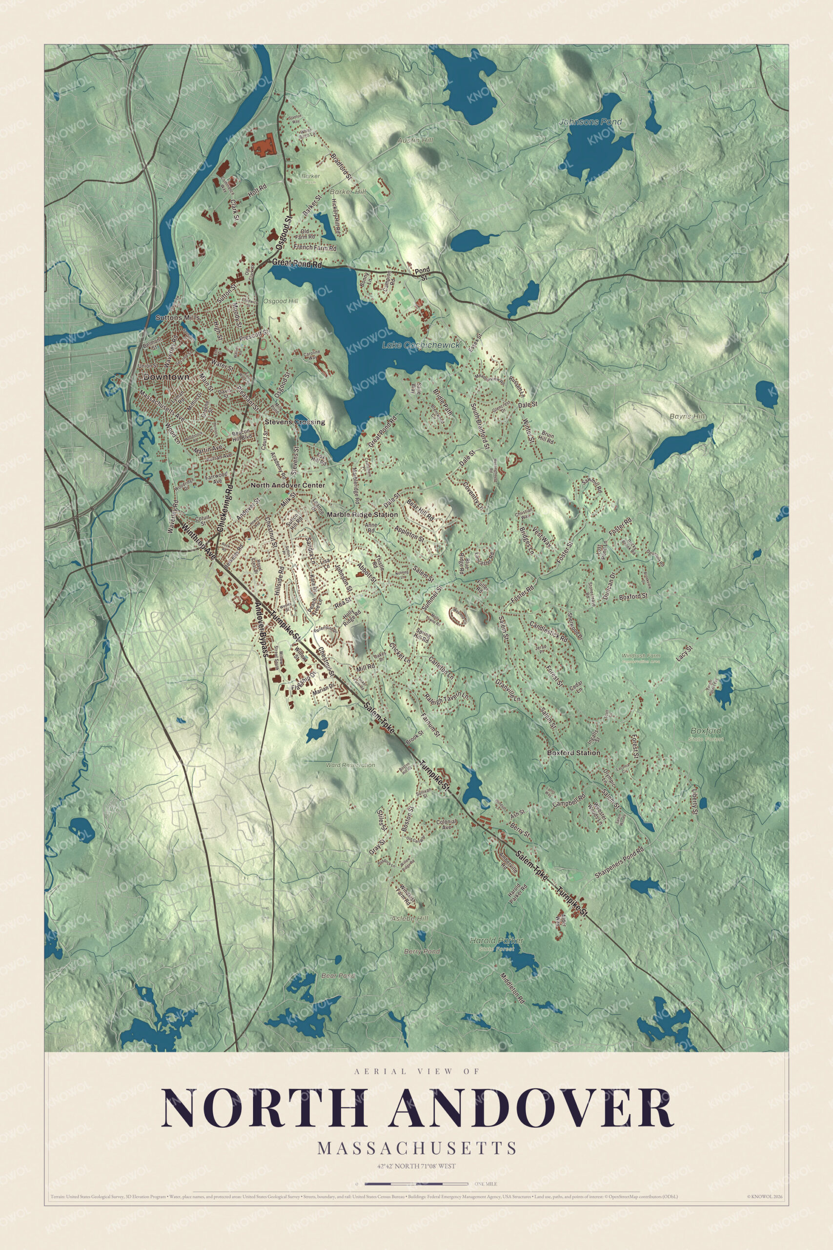
If you grew up in North Andover, you know Osgood Street at the edge of the Old Center, Great Pond Road, Chickering Road, Winthrop Avenue and Turnpike Street. This map prints them all, with Lake Cochichewick, the Ward Reservation and Barker Hill. Click here to purchase a print of this map for your wall.
North Andover is in Essex County.
KNOWOL made this map in 2026 from public survey data and gave it the look of an old atlas. The hills come from United States Geological Survey elevation data, and the streets and the town line come from the Census Bureau. North Andover lies south of the Merrimack River, which with the Shawsheen River makes up part of its northwestern line. Lake Cochichewick dominates the northeastern part of town, and parts of Harold Parker State Forest and Boxford State Forest lie within it. The town covers 27.8 square miles and had 30,915 people at the 2020 census.
The first Andover
The Massachusett called this land Cochichawick. In 1634 the General Court set aside the country around Lake Cochichewick and the Shawsheen River for an inland plantation, and the Town of North Andover’s recorded history, in the Secretary of the Commonwealth’s list, dates European settlement to 1644. In 1646 the Rev. John Woodbridge bought the Cochichewick Plantation from the sachem Cutshamekin for six pounds and a coat, and it was incorporated as Andover, most likely for Andover in Hampshire, England, the home of many early settlers. The town’s center was here, in today’s North Andover. As settlement spread south and west, the town divided into a north and a south parish in 1709, and North Andover was incorporated as a town in 1855, when the North Parish separated. The town remains part of Essex County today.
Anne Bradstreet lived here in the Old Center with her family, among the founding families of the original town. In 1650 her poems were published in London as The Tenth Muse Lately Sprung Up in America, and her page names her the first writer in England’s North American colonies to be published. She died here in 1672, and many historians believe she lies in the Old Burying Ground at Academy Road and Osgood Street. Barker’s Farm, run by the Barker family since the 1640s, is called on the town page the oldest continually operated business in Massachusetts. Land along the Shawsheen and the Merrimack went to industry, with several mills, and the Western Electric Company, the manufacturing arm of AT&T, made telephone equipment here.
Click to explore a larger preview. The digital watermark does not appear on printed maps.
Names on this map
These names are printed on this map.
Places: Downtown, Suttons Mills, Aslebe Hill, Austin Hill, Barker Hill, Bayns Hill, Bear Pond, Berry Pond, Lake Cochichewick, Johnsons Pond, Barker Farm, Boxford State Forest, Harold Parker State Forest, Osgood Hill, Ward Reservation, Windrush Farm Conservation Area, Boxford Station, Marble Ridge Station, North Andover Center and Stevens Crossing.
Streets and roads: Osgood Street, Chickering Road, Winthrop Avenue, Turnpike Street, Great Pond Road, Salem Turnpike, Andover Bypass, Bradford Street, Andover Street, Massachusetts Avenue, Milk Street, Liberty Street.
More street names, A to Z
Abbott Street, Academy Road, Alder Way, Amberville Road, Anne Road, Appleton Street, Ash Street, Autran Avenue, Barker Street, Beacon Hill Boulevard, Bear Hill Road, Belmont Street, Berkeley Road, Berry Street, Blue Ridge Road, Bonny Lane, Boston Hill Road, Boston Street, Boxford Street, Brentwood Circle, Bridges Lane, Bridle Path, Brook Street, Brookview Drive, Bruin Hill Road, Campbell Road, Campion Road, Candlestick Road, Carleton Lane, Caroline Way, Castlemere Place, Cedar Lane, Chadwick Street, Chestnut Street, Christian Way, Clark Street, Colonial Avenue, Commerce Way, Cotuit Street, Court Street, Coventry Lane, Cricket Lane, Dale Street, Davis Street, Duncan Drive, East Water Street, Elm Street, Essex Street, Farnum Street, Farrwood Avenue, Flagship Drive, Forest Street, Forest Street Extension, Foster Road, Foster Street, Fox Hill Road, French Farm Road, Fuller Road, Glencrest Drive, Granville Lane, Gray Street, Greene Street, Harold Parker Road, Hemlock Street, Hewitt Avenue, Hickory Hill Road, High Street, Hillside Road, Holly Ridge Road, Holt Road, Ingalls Street, Jerad Place, Johnson Street, Kara Drive, Laconia Circle, Lacy Street, Lancaster Road, Leanne Drive, Lisa Lane, Lost Pond Lane, Lyman Road, Lyons Way, Main Street, Marbleridge Road, Marian Drive, Martin Avenue, Meadowview Road, Meetinghouse Road, Middleton Road, Mifflin Drive, Mill Pond, Mill Road, Molly Towne Road, Moody Street, Nutmeg Lane, Oakes Drive, Ogunquit Road, Old Cart Way, Old Clark Street, Old Farm Road, Olympic Lane, Paddock Lane, Peach Tree Lane, Pleasant Street, Pond Street, Prescott Street, Raleigh Tavern Lane, Rea Street, Riverview Street, Rock Road, Rocky Brook Road, Rosemont Drive, Royal Crest Drive, Russett Lane, Saile Way, Salem Street, Salem Woods, Sandra Lane, Saunders Street, Sawmill Road, Scott Circle, Second Street, Sharpeners Pond Road, Sherwood Drive, South Bradford Street, Spring Hill Road, Stanton Way, Stevens Street, Stiles Street, Stonecleave Road, Sullivan Street, Summer Street, Sutton Hill Road, Sutton Place, Sutton Street, Thistle Road, Tucker Farm Road, Union Street, Vest Way, Walker Road, Water Street, Waverley Road, Webster Woods Lane, Wesley Street, Weyland Circle, White Birch Lane, Willow Ridge Road, Willow Street, Willow Street South, Windkist Farm Road, Windsor Lane, Winter Street, Wood Lane, Woodridge Drive, Woodstock Road.
See it on a wall
The North Andover map as a framed print. Swipe for more.


Around the map
Start with Suttons Mills, then follow Osgood Street, Chickering Road, Winthrop Avenue, Turnpike Street, Great Pond Road and Salem Turnpike across town. Then look outward toward Boxford Station, Marble Ridge Station, North Andover Center and Stevens Crossing. Bear Pond, Berry Pond, Lake Cochichewick, Johnsons Pond, Ward Reservation, Aslebe Hill, Austin Hill and Barker Hill are all labeled on the map, and every one of those names is printed directly on the artwork, along with Great Pond. Lake Cochichewick was called the Great Pond in Andover’s early years, and it has been the town’s main supply of drinking water for the past century. Several first-period houses from before 1720 still stand, among them the Stevens House on Great Pond Road and a house on Andover Street near Chickering Road. The Parson Barnard House at 179 Osgood Street, built in 1715 and long believed to have been the Bradstreets’ home, is a museum of the North Andover Historical Society, and the North Parish Church of 1836 stands on the North Andover Green. The Ward Reservation, 704 acres of hayfields, hilltops and woods in Andover and North Andover, has access and parking on Turnpike Street by way of Boston Hill, and from its 420-foot Holt Hill you can see Boston and Salem.
The North Andover map makes a fine addition to an office, library or den, and it can help teach children the geography and history of the town where Andover began. It’s made for people who call North Andover home, from the Old Center to Lake Cochichewick, and it shows the town as it looks today. Zoom in on the preview above to explore the details, then click here to get your copy of the North Andover, Massachusetts map.

Sources