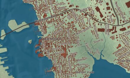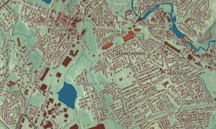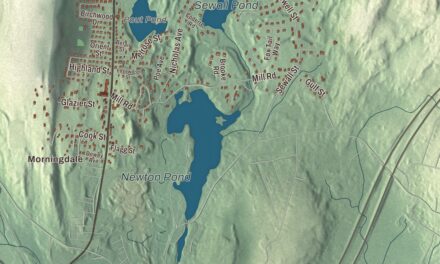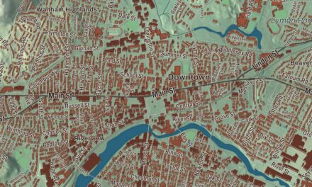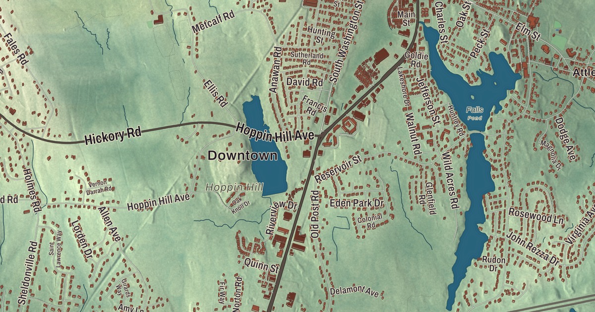
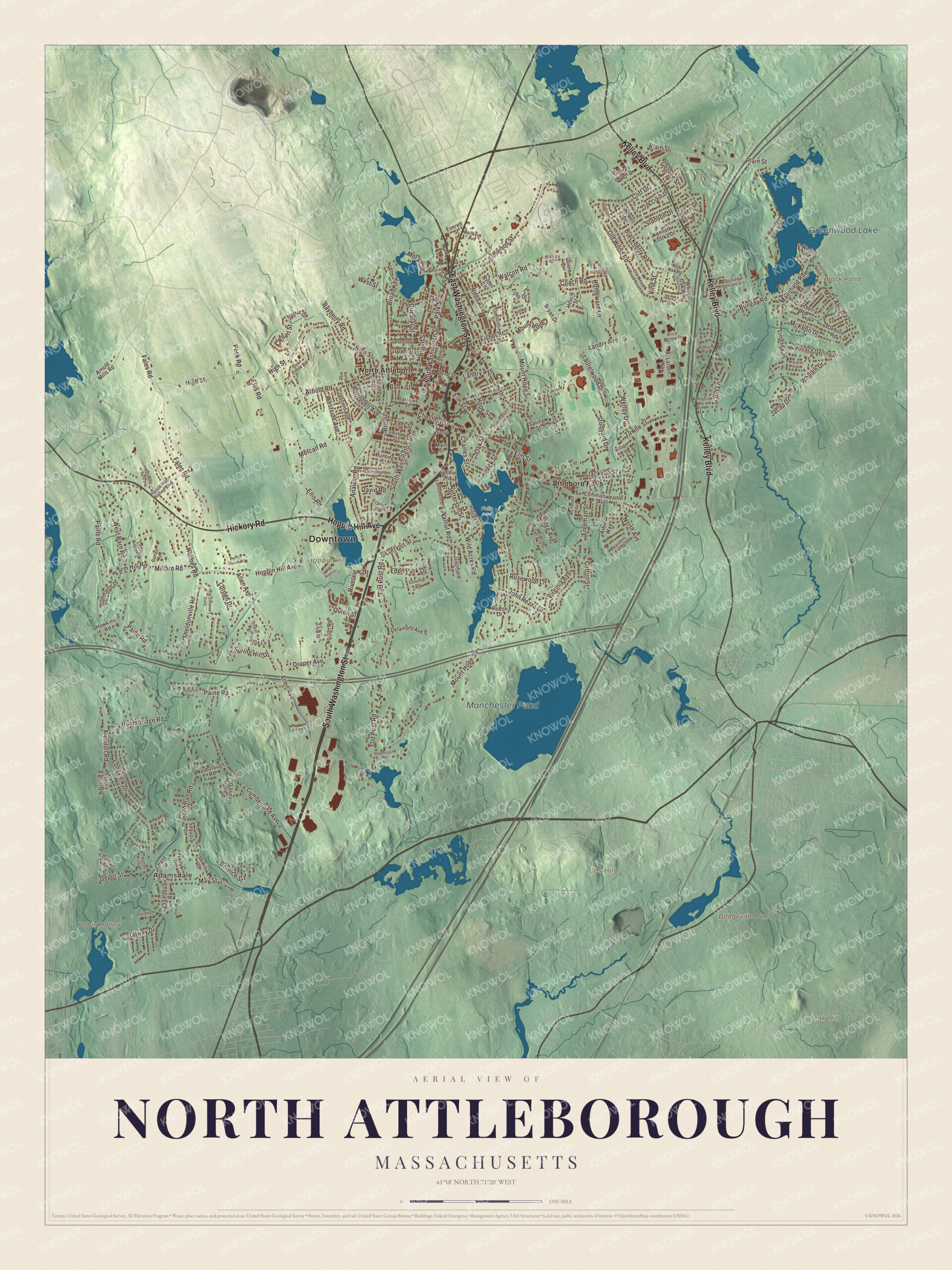
The town center here grew up serving the jewelry shops along the Ten Mile River. This map prints the roads around it, South Washington Street, East Washington Street, Kelley Boulevard, Hoppin Hill Avenue, Hickory Road and Elmwood Street, along with Greenwood Lake, Black Pond, Dodgeville Pond and Manchester Pond. Click here to purchase a print of this map for your wall.
North Attleborough is in Bristol County.
KNOWOL made this map in 2026 from public survey data and gave it the feel of an old county atlas. The ground’s relief comes from United States Geological Survey elevation data, and the streets and the town line come from the Census Bureau. The town covers 19.0 square miles in the northwest corner of Bristol County, bordered by Plainville to the north, Mansfield to the east, Attleboro to the south and Cumberland, Rhode Island, to the west, and it had 30,834 people at the 2020 census. The Ten Mile River rises at Savage Pond in Plainville and runs south through town, and the North Attleborough National Fish Hatchery is in its upper reaches.
From the Bay Path to the jewelry shops
Before the colonists came, the Bay Path, a major Native trail to Narragansett Bay and Boston, crossed this ground. English settlers founded Rehoboth in 1634 on land sold to them by the Pokanoket leader Wamsutta, a territory that took in today’s North Attleborough. The Town of North Attleborough’s recorded history, in the Secretary of the Commonwealth’s list, dates European settlement to 1669, the year John Woodcock started a settlement here that lived by farming, fishing and hunting; by 1670 he held a license to keep a tavern. The Woodcock Garrison House, now a museum of the North Attleborough Historic Society, was long thought to be his. Its historic-district page says his house came down in 1806 and the present one was probably built between 1711 and 1722 by John Daggett, then kept as a tavern by Daggett, John Maxcy and the Hatch family until the late 1800s.
The whole area became the Town of Attleborough in 1694. Its first center, now the Old Town Historic District on Old Post Road, still has the small round brick powder magazine the Newell family built in 1768. In about 1780 a French settler named Lazarus Periera set up a brass forge, and the town page counts that as the start of the industrial era. Grist mills, sawmills, nail factories and then cotton mills rose along the Ten Mile River, and by 1834 the old town made more buttons than anywhere else in the United States. North Attleborough was incorporated as a town in 1887, when the village of East Attleborough voted to leave, took the Attleborough name with it, and left the rest of the old town to become North Attleborough. In the twentieth century the jewelry firms Jostens and Balfour were at home here at various times, Balfour making championship rings for Super Bowl and World Series winners.
The Speaker and the angle tree
Joseph W. Martin Jr. was born in North Attleborough, the son of a blacksmith, and played shortstop at North Attleborough High School. He published The Evening Chronicle in town for many years, represented a House district centered on his hometown from 1925 to 1967, and served as Speaker of the United States House in 1947 to 1949 and again in 1953 to 1955. He’s buried in Mount Hope Cemetery, one of the three cemeteries in the village of Attleboro Falls, and an elementary school carries his name.
On the Plainville line stands the Angle Tree Stone, a slate marker set up in 1790 by Samuel Fisher and his son, gravestone makers, in place of a seventeenth-century surveyors’ tree. It stands where the line between Bristol and Norfolk counties turns at an angle, on the old line between the Plymouth and Massachusetts Bay colonies, its north face lettered Massachusetts Colony and its south face Plymouth Colony, and it joined the National Register in 1976. In 2019 voters approved a city form of government, though the Secretary of the Commonwealth’s list names North Attleborough among the communities with city structures that call themselves towns. The town remains part of Bristol County today.
Click to explore a larger preview. The digital watermark does not appear on printed maps.
Names on this map
These names are printed on this map.
Places: Downtown, Adamsdale, Hoppin Hill, Ides Hill, Oak Hill, Robin Hollow, Black Pond, Dodgeville Pond, Manchester Pond, Greenwood Lake, Falls Pond, Attleboro Falls and North Attleboro.
Streets and roads: South Washington Street, East Washington Street, Kelley Boulevard, Hickory Road, Hoppin Hill Avenue, Elmwood Street, North Washington Street, Elm Street, Lindsey Street, Mansfield Road, Freeman Street, Moran Street.
More street names, A to Z
Adamsdale Road, Alice Agnew Drive, Allen Avenue, Amy Lane, Anawan Road, Arbor Way, Arnold Mills Road, Arnold Road, Ash Street, Bank Street, Barrows Street, Bayberry Road, Bellevue Avenue, Bernice Street, Betts Drive, Blackberry Road, Bluejay Drive, Brick Kiln Road, Broad Street, Broadway, Bryan Drive, Bungay Road, Cedar Ridge Road, Charles Street, Chase Street, Chestnut Street, Circular Street, Cliff Drive, Clifton Street, Coach Road, Colonial Road, Commonwealth Avenue, Cranberry Road, Crescent Avenue, Cumberland Avenue, Curran Road, Cushman Road, David Road, Debora Road, Delamont Avenue, Depot Street, Dodge Avenue, Donald Tennant Circle, Draper Avenue, East Drive, East Street, Echo Drive, Eddy Street, Eden Park Drive, Ellis Road, Everett Street, Fales Road, Farm Hill Road, Fieldstone Lane, Fir Way, Fisher Street, Francis Road, Galway Drive, Garrett Road, George Leven Drive, George Street, Germaine Drive, Girards Way, Glenfield Road, Goldie Road, Grandview Drive, Green Drive, Grove Street, Haduk Drive, Harold West Bishop Boulevard, Harris Drive, Hawkins Road, High Street, Holmes Road, Homeward Lane, Hope Street, Horace Darling Drive, Houde Street, Hunting Street, Huntley Road, Huntsbridge Road, Ivy Street, Jacap Drive, Jackson Street, James Foley Drive, Janice Lane, Jefferson Street, Jeffrey Drive, John Rezza Drive, Judith Drive, Kenneth Kostka Drive, Lakeshore Drive, Landry Avenue, Larsen Way, Laurelwood Drive, Leonard Street, Lewis Road, Lincoln Road, Longview Drive, Lorden Drive, Lyman Street, Magnolia Drive, Main Street, Mary Ann Way, May Street, McKeon Drive, Mendon Road, Metcalf Road, Millard Road, Mount Hope, Mount Hope Street, Newell Drive, Norborough Road, North Avenue, Norton Road, Oak Crest Drive, Oakhurst Street, Oak Knoll Drive, Oakridge Avenue, Oak Street, Old Post Road, Old Wood Road, Old Wood Road South, Oriole Drive, Orne Street, Paine Road, Park Street, Paul Lizotte Drive, Pearl Street, Peck Road, Peck Street, Peters Way, Plain Street, Poppasquash Road, Quail Creek Road, Quinn Street, Raymond Tatro Lane, Reardons Field Lane, Red Oak Road, Reed Avenue, Reservoir Street, Riverview Drive, Robinson Avenue, Robyn Road, Roosevelt Avenue, Rosanna Avenue, Rosewood Lane, Rudon Drive, Ryder Circle, Saint Lawrence Way, Scout Lane, Sequoia Lane, Sheldonville Road, Smith Street, Spring Hill Drive, Spring Street, Stagecoach Road, Stanson Drive, Stoddard Drive, Sumner Street, Sutherland Road, Thyme Lane, Towne Street, Tracy Beth Drive, Upland Drive, Vernon Darrah Road, Village Way, Vine Street, Virginia Avenue, Walcott Road, Walnut Road, Wendy Drive, Weona Road, West Barn Road, Westside Avenue, West Street, Whalen Drive, White Oak Way, Whiting Street, Wild Acres Road.
See it on a wall
The North Attleborough map as a framed print. Swipe for more.


Around the map
Start with Adamsdale. Follow South Washington Street, East Washington Street, Kelley Boulevard, Hickory Road, Hoppin Hill Avenue and Elmwood Street across town. Then look outward toward Attleboro Falls and North Attleboro. Black Pond, Dodgeville Pond, Manchester Pond, Greenwood Lake, Hoppin Hill, Ides Hill, Oak Hill and Robin Hollow are all printed on the map. The town center’s historic district runs along North and South Washington Streets between Fisher Street and Bruce Avenue, with brick commercial blocks mostly built between 1890 and 1930, and the police station sits in the old H.F. Barrows Manufacturing Company building at 102 South Washington Street. East Washington Street carries U.S. Route 1 and crosses the Ten Mile River more than once, and Greenwood Lake is the site of a fish hatchery.
The North Attleborough map suits an office, library or den, and it can help teach children the geography and history of a town long known for its jewelry trade. It’s made for anyone who calls North Attleborough home, from Adamsdale to Attleboro Falls, and it shows the town as it looks today. Zoom in on the preview above to explore the details, then click here to get your copy of the North Attleborough, Massachusetts map.

Sources
- North Attleborough, Massachusetts, Wikipedia
- Woodcock-Hatch-Maxcy House Historic District, Wikipedia
- Old Town Historic District (North Attleborough, Massachusetts), Wikipedia
- North Attleborough Town Center Historic District, Wikipedia
- Joseph W. Martin Jr., Wikipedia
- Angle Tree Stone, Wikipedia
- Ten Mile River (Seekonk River tributary), Wikipedia
- City and Town Incorporation and Settlement Dates, Secretary of the Commonwealth of Massachusetts (archived copy)