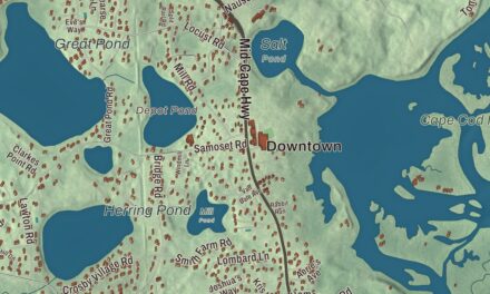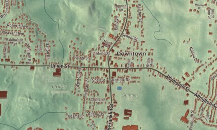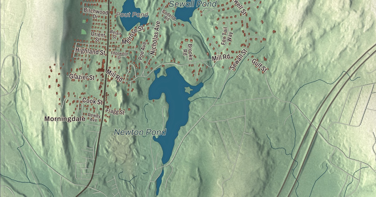
Most of Boylston’s northwest corner is water, and the rest is a mostly residential town, from Morningdale to Boylston Center. This map prints Main Street, School Street, Shrewsbury Street, West Boylston Street, Duffy Road and Sewall Street, with the Wachusett Reservoir, Northborough Reservoir, Rocky Pond, Pout Pond, East Woods, Apron Hill, Ball Hill and Barnard Hill. Click here to purchase a print of this map for your wall.
Boylston is in Worcester County, about 10 miles north of central Worcester.
KNOWOL made this map in 2026 from public survey data and gave it the look of an old atlas. United States Geological Survey elevation data shapes the hills, and the Census Bureau supplies the roads and the town line. Boylston covers 19.7 square miles, and 3.6 of them are water. Shrewsbury, West Boylston, Sterling, Clinton, Berlin and Northborough surround it, and it had 4,849 people at the 2020 census, a residential town with its own municipal light department, water district and volunteer fire and ambulance service.
The North Parish
This was Nashaway land, part of the great tract the sachem Sholan sold to Thomas King and his partners in 1643. The Town of Boylston’s recorded history, in the Secretary of the Commonwealth’s list, dates European settlement to 1705, and the town page says around 1706, in the northern part of today’s town, led by the Sawyer family after the Nashaway sachems Sholan and George Tahanto deeded the land. When the settlers asked to form their own town in 1697, the colonial governor turned them down, wanting to keep the number of towns, and of representatives, small.
Instead the place grew as the North Parish of Shrewsbury, made mostly of Shrewsbury land with the rest from Lancaster. Its meeting house was built in 1743, and the Reverend Ebenezer Morse, ordained that October, was its first minister. The parish was incorporated as the town of Boylston in 1786, by both the state’s list and the town page, and the town remains part of Worcester County today.
Mr. Boylston
The town is named for Ward Nicholas Boylston, a Boston merchant born Ward Hallowell in 1747, and a benefactor of the town. A fund he set up in 1797 grew to $1,450, which built the town hall and school building. He gave far more to Harvard, where his gifts paid for a professorship of rhetoric and oratory, the Boylston Medical Library and an anatomical museum, and Boylston Street in Boston carries his name too. His mother’s first cousin, Susanna Boylston, was the mother of President John Adams.
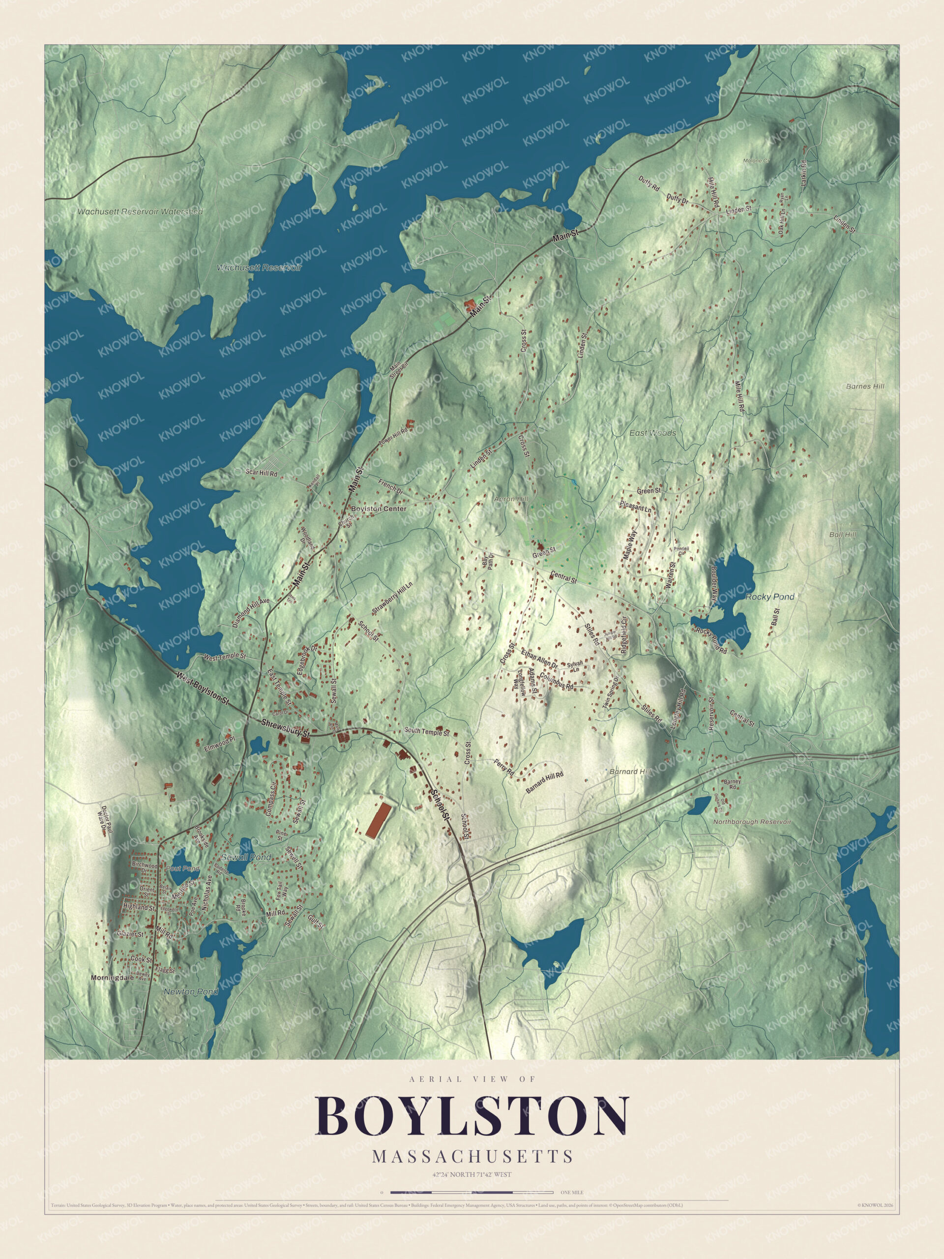
Click to explore a larger preview. The digital watermark does not appear on printed maps.
Names on this map
These names are printed on this map.
Places: Morningdale, Boylston Center, Apron Hill, Ball Hill, Barnard Hill, Barnes Hill, Northborough Reservoir, Pout Pond, Wachusett Reservoir, Rocky Pond, Newton Pond, Sewall Pond, Wachusett Reservoir Watershed, East Woods and Malone Cr.
Streets and roads: School Street, Shrewsbury Street, West Boylston Street, Main Street, Duffy Road, Sewall Street, East Temple Street, Ball Street, Linden Street, Cross Street, Central Street, Green Street.
More street names, A to Z
Adams Street, Barnard Hill Road, Barney Road, Bay Path Drive, Belair Street, Birchwood Drive, Boulder Way, Brooke Road, Brookside Avenue, Carol Drive, Church Street, Coderre Road, Columbus Road, Compass Circle, Cook Street, Dewey Avenue, Diamond Hill Avenue, Doctor Paul Ware Drive, Duffy Drive, Edgebrook Drive, Edgewood Street, Elmwood Place, Ethan Allen Drive, Flagg Street, Fox Tail Way, French Drive, Glazier Street, Gulf Street, Highland Street, Juniper Hill Road, Kendall Place, Larkin Road, Longfellow Way, Longley Hill Road, Main Street Circle, Maple Way, Mary Ann Drive, Melrose Street, Mile Hill Road, Mill Road, Nicholas Avenue, Oak Hill Lane, Old Orchard Circle, Orient Street, Pendell Circle, Perry Road, Pine Street, Pleasant Lane, Poe Avenue, Reservoir Street, Ridgefield Circle, Rocky Pond Road, Ryan Lane, Scar Hill Road, Sewell Street, South Temple Street, Stark Terrace, Stiles Road, Strawberry Hill Lane, Sylvan Lane, Tower Hill Road, Twin Spring Drive, Warren Street, West Temple Street, Woodland Drive.
See it on a wall
The Boylston map as a framed print. Swipe for more.


The reservoir
Boylston’s people farmed and ran mills on the Nashua River, until the Wachusett Reservoir ended those mills. In 1897 the Wachusett Dam at Clinton held back the river, and 4,380 acres were flooded in Boylston, West Boylston, Clinton and Sterling. The work was finished in 1905, the reservoir first filled in May 1908, and when it was built it was the largest public water supply reservoir in the world. It still serves Greater Boston, holding water from the Quabbin as well as its own watershed. Its lake trout draw anglers, and about 80 percent of its 37-mile shore is usually open to fishing from April through November.
Boylston is also home to the New England Botanic Garden at Tower Hill, 200 acres of gardens, woods and trails founded in 1986 on the old Tower Hill Farm by the Worcester County Horticultural Society, which dates to 1842. More than 200,000 people visit each year. Its terrace looks out over Mount Wachusett and the reservoir, and its orchard keeps 250 apple trees of 119 varieties grown before the 20th century. The Boylston Public Library was founded in 1880.
Around the map
Start in Morningdale and Boylston Center, then follow School Street, Shrewsbury Street, West Boylston Street, Main Street, Duffy Road and Sewall Street across town. The Wachusett Reservoir fills the town’s northwest, and in neighboring West Boylston the Old Stone Church was left standing as a reminder of the people whose homes and work the reservoir took. Northborough Reservoir, Pout Pond, the Wachusett Reservoir, Rocky Pond, East Woods, Apron Hill, Ball Hill and Barnard Hill are all printed on the map.
Boylston’s map makes a fine addition to an office, library or den, and it can help teach children the geography and history of the town beside Boston’s great reservoir. It’s made for people who call Boylston home, from Morningdale to Boylston Center, and it shows the town as it looks today. Zoom in on the preview above to explore the details, then click here to get your copy of the Boylston, Massachusetts map.

Sources