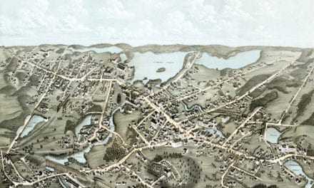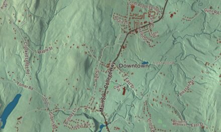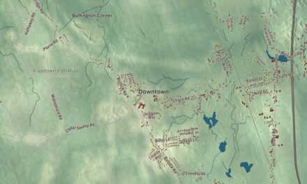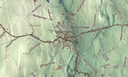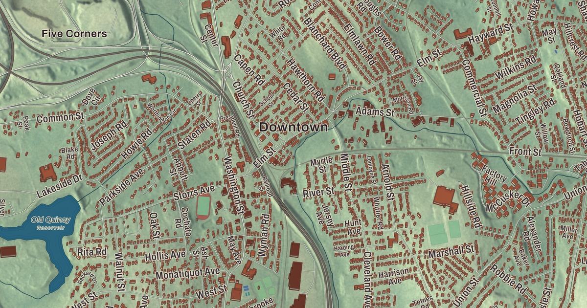
If you grew up in Braintree, you can probably name your part of town before your street: East Braintree, South Braintree, Braintree Highlands or Five Corners. This map prints Washington Street, Franklin Street, Hancock Street, Granite Street, Quincy Avenue and Commercial Street, with Great Pond Reservoir, Pond Meadow, Ames Pond, Babel Rock and Penns Hill. Click here to purchase a print of this map for your wall.
Braintree is in Norfolk County, on the South Shore just south of Quincy.
KNOWOL made this map in 2026 from public survey data and gave it the look of an old atlas. The relief comes from United States Geological Survey elevation data, and the roads and the town line come from the Census Bureau. Braintree covers 14.5 square miles, with Quincy to the north, Weymouth to the east, Holbrook to the south and Randolph to the west across the Cochato River. Officially it’s still the Town of Braintree, though it has a mayor and counts as a city under state law, and it had 39,143 people at the 2020 census.
Old Braintree
The Town of Braintree’s recorded history, in the Secretary of the Commonwealth’s list, dates European settlement to 1634; the town page says 1635. Braintree was incorporated as a town in 1640 and named for Braintree in Essex, England. The old town was much bigger than today’s. Quincy split off in 1792 and Randolph in 1793, and Holbrook later came out of Randolph in 1872. Braintree belonged to Suffolk County until Norfolk County was formed in 1793, and the town remains part of Norfolk County today. As late as 1888, Braintree and South Braintree were separate villages within the town.
Next door in Quincy, John Adams was born in 1735 in the saltbox at what is now 133 Franklin Street, and his son John Quincy Adams was born next door in 1767; both houses belong to Adams National Historical Park today. On June 17, 1775, Abigail Adams climbed Penn’s Hill with young John Quincy and their daughter Nabby to watch the smoke of Charlestown burning during the Battle of Bunker Hill. A stone cairn put up in 1896 marks the spot, at Franklin Street and Viden Road, now in Quincy.
Sylvanus Thayer
Sylvanus Thayer was born in Braintree in 1785. As superintendent of West Point from 1817 to 1833, he rebuilt the academy around honor, discipline and a four-year course, made it the nation’s first college of engineering, and came to be called the “Father of the Military Academy.” He went on to spend most of 30 years as chief engineer for the Boston area, building Fort Warren and Fort Independence in Boston Harbor. In 1869 he met in Braintree with Robert Anderson, a West Point graduate and Civil War general, and out of that meeting came the academy’s Association of Graduates.
Thayer left his hometown two gifts. His $30,000 bequest helped found the Thayer Public Library, whose first building was dedicated on June 4, 1874, and his will of 1871 provided for Thayer Academy, which opened its doors to 30 students on September 12, 1877. The academy’s campus still sits in the heart of Braintree, and the General Sylvanus Thayer Birthplace is one of the town’s landmarks.
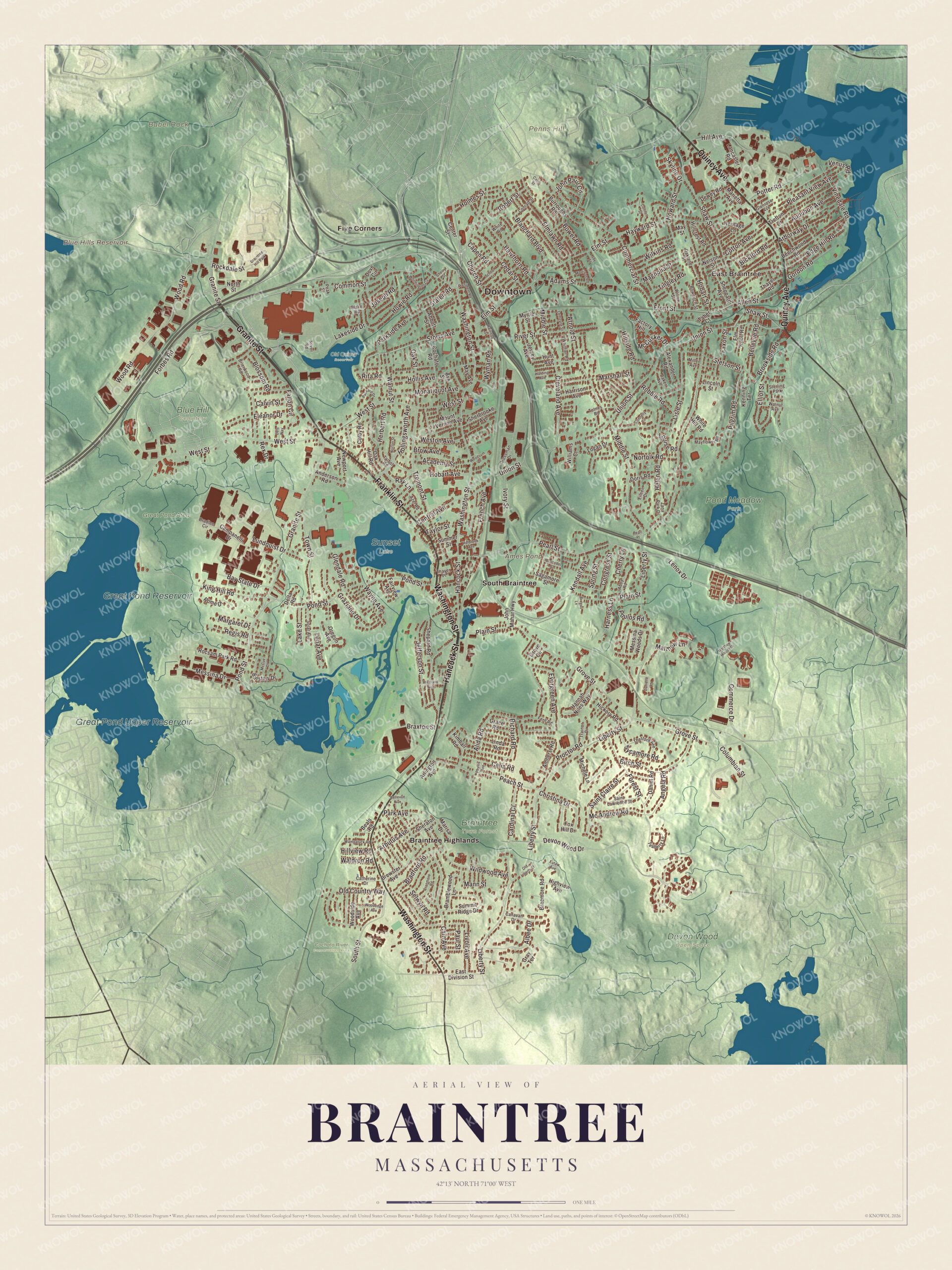
Click to explore a larger preview. The digital watermark does not appear on printed maps.
Names on this map
These names are printed on this map.
Places: Downtown, East Braintree, Babel Rock, Penns Hill, Ames Pond, Blue Hills Reservoir, Great Pond Reservoir, Great Pond Upper Reservoir, Blue Hill Cemetery, Braintree Town Forest, Cochato River Conservation Area, Devon Wood Open Space, Great Pond Area, Old Quincy Reservoir, Pond Meadow Park, Sunset Lake, Braintree Highlands, Five Corners, South Braintree, Sterling Park and Braintree Hill Park.
Streets and roads: Washington Street, Franklin Street, Hancock Street, Granite Street, Quincy Avenue, Commercial Street, Pearl Street, Common Street, Pond Street, Liberty Street, Staten Road, Union Street.
More street names, A to Z
Abbott Street, Abby Road, Academy Street, Adams Street, Albee Drive, Alexander Road, Alida Road, Allen Street, Amherst Road, Anderson Road, Angela Road, Arborway Drive, Arbutus Avenue, Arlington Avenue, Arnold Street, Ash Street, Audubon Avenue, Azel Road, Baker Avenue, Barstow Drive, Bay State Drive, Beals Road, Beechwood Road, Bellevue Avenue, Bellevue Road, Bickford Road, Birch Street, Blake Road, Blanchard Boulevard, Blossom Road, Boscobel Street, Bowditch Street, Bower Road, Bradford Road, Bradlee Circle, Braemore Road, Bramblewood Lane, Braxton Street, Bregoli Lane, Brewster Avenue, Brierwood Road, Brookside Road, Brow Avenue, Burroughs Road, Cain Avenue, Cairn Street, Calvin Street, Campanelli Drive, Canavan Drive, Capen Road, Cardinal Court, Catherine Drive, Cedar Street, Celia Road, Center Street, Central Avenue, Cherry Lane, Cherry Street, Christina Drive, Church Street, Cleveland Avenue, Cochato Road, Colby Road, Columbian Street, Commerce Drive, Congress Street, Connell Street, Connelly Circle, Conrad Street, Cotton Avenue, Cranmore Road, Danielle Lane, Daniel Road, Dels Way, Delta Road, Devon Wood Drive, Dewey Road, Doris Road, Dove Circle, East Division Street, Edge Hill Road, Eileen Drive, Eleanor Drive, Elliot Street, Elm Knoll Road, Elmlawn Road, Elm Street, Eutaw Avenue, Evergreen Avenue, Factory Hill, Fairview Avenue, Fallon Circle, Faxon Street, Fern Road, Forbes Road, Forest Street, Fox Hill Drive, French Avenue, Front Street, Glendale Road, Glenrose Avenue, Gordon Road, Grace Road, Gray Terrace, Graziano Drive, Grossman Drive, Grove Circle, Grove Street, Hannah Niles Way, Harding Avenue, Harness Lane, Harrison Avenue, Hawthorn Road, Hayward Street, Helen Road, Herbert Road, Heritage Lane, Hickory Road, Highland Avenue, Highview Avenue, Hill Avenue, Hillcrest Road, Hillside Road, Hillview Road, Hobart Avenue, Hobart Street, Holbrook Avenue, Hollingsworth Avenue, Hollis Avenue, Holmes Street, Howard Street, Howie Road, Hunt Avenue, Ivory Street, Jay Street, Jefferson Street, Jersey Avenue, John Mahar Highway, John Paul Circle, Joseph Road, Kendall Avenue, Kenning Terrace, Kimball Road, King Hill Road, Lakeside Drive, Lake Street, Lancaster Road, Lemoyne Street, Lenox Drive, Lincoln Street, Linda Road, Lisle Street, Livoli Avenue, Logan Drive, Louise Road, Lunar Avenue, Lundquist Drive, Magnolia Street, Mann Street, Margaret Drive, Marietta Avenue, Marisa Drive, Marshall Street, Matthew Lane, Matthew Woods Drive, May Avenue, Mayflower Road, May Street, Mc Andrew Road, McCue Drive, McCusker Drive, Messina Drive, Messina Woods Drive, Michele Lane, Middle Street, Miller Avenue, Monatiquot Avenue, Morrison Road, Mount Vernon Avenue, Myrtle Street, Nelson Street, Newport Avenue, Norfolk Road, North Street, Norton Street, Oak Hill Road, Oakland Street, Oak Street, Old Country Way, Old Liberty Street, Oregon Avenue, Packard Drive, Park Avenue, Parkside Avenue, Paul Street, Peach Street, Peak Street, Pearl Place, Phyllis Avenue, Pilgrim Road, Plain Street, Pleasant View Avenue, Potter Road, Poulos Road, President Road, Proctor Road, Railroad Street, Ray Lane, Regis Road, Rex Drive, Richard Road, Rita Road, River Street, Robbie Road, Robert Street, Rockdale Street, Rocsam Park Road, Rome Drive, Sagamore Street, Saint Claire Street, Saint Lawrence Street, School Street, Selwyn Road, Shaw Street, Shepard Road, Sheppard Avenue, Sheraton Avenue, Sherbrooke Avenue, Silver Road, Skyline Drive, Solar Avenue, South Street, Spring Street, Stetson Street, Storrs Avenue, Summer Street, Summit Ridge Drive, Sycamore Road, Taber Court, Talbot Road, Taylor Street, Teaberry Lane, Thayer Place, Thayer Road, Thetford Avenue, Tingley Road, Totnes Road, Town Street, Trainor Drive, Trefton Drive, Tremont Street, Venus Road, Vinedale Road, Waldron Road, Walnut Avenue, Walnut Street, Wampatuck Road, Wayne Avenue, Weston Avenue, West Street, White Hill Road, White Road, Whittier Road, Wildwood Avenue, Wilkins Road, Williams Court, Willow Street, Woodedge Avenue, Wood Road, Woodside Avenue, Woodsum Drive, Worthington Circle, Wyman Road, Zana Park Drive.
Rivers, ponds and the Blue Hills
The Monatiquot River begins where the Farm and Cochato rivers meet, in the Braintree Municipal Golf Course, and winds 4.9 miles northeast to the tidal Weymouth Fore River. Colonial Braintree prized it for river herring, and its strong flow later turned grist mills. Paul Revere opened a nail mill on the river, which ran on after his death until the 1860s; the nail company has since moved to southeastern Massachusetts and still runs the machinery installed in that retooling. Pond Meadow Park, opened in 1976, covers 320 acres between Braintree and Weymouth, with a 20-acre pond and a two-mile paved loop. Part of the Blue Hills Reservation, the 7,000-acre state park that the Metropolitan Parks Commission bought in 1893, reaches into Braintree too.
Around the map
Start in East Braintree, then follow Washington Street, Franklin Street, Hancock Street, Granite Street, Quincy Avenue and Commercial Street across town, and look outward toward Braintree Highlands, Five Corners and South Braintree. Penns Hill, with the Abigail Adams Cairn, is in neighboring Quincy. Blue Hills Reservoir, Great Pond Reservoir, Great Pond Upper Reservoir, Pond Meadow, Babel Rock, Penns Hill and Ames Pond are all printed on the map.
Braintree’s map makes a fine addition to an office, library or den, and it can help teach children the geography and history of the town that raised Sylvanus Thayer. It’s made for people who call Braintree home, from East Braintree to Braintree Highlands, and it shows the town as it looks today. Zoom in on the preview above to explore the details, then click here to get your copy of the Braintree, Massachusetts map.

We made a map for every town and city in Massachusetts. Explore the complete Massachusetts map collection and find your town.
Sources
- Braintree, Massachusetts, Wikipedia
- John Adams Birthplace, Wikipedia
- Abigail Adams Cairn, Wikipedia
- Sylvanus Thayer, Wikipedia
- Thayer Academy, Wikipedia
- Thayer Public Library, Wikipedia
- Monatiquot River, Wikipedia
- Pond Meadow Park, Wikipedia
- Blue Hills Reservation, Wikipedia
- City and Town Incorporation and Settlement Dates, Secretary of the Commonwealth of Massachusetts (archived copy)