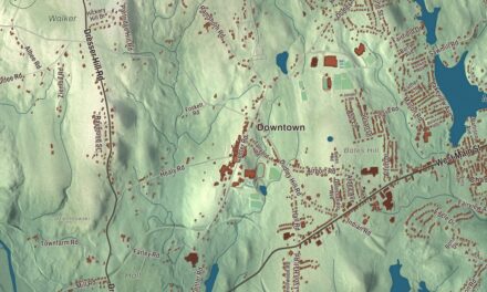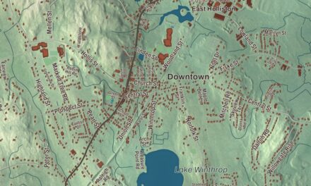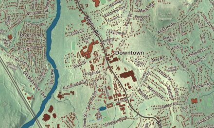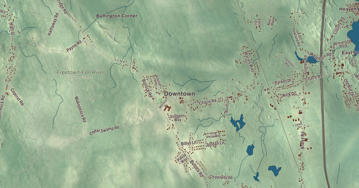
Freetown is two villages that grew up almost apart from each other, Assonet on its river and bay and East Freetown on the shore of Long Pond, with a big state forest in between. This map prints South Main Street, Elm Street, Mill Street, Middleboro Road, Richmond Road and Slab Bridge Road, with Long Pond, Assonet Bay, Assonet Neck, Braley Hill, the Copicut Reservoir and Little Quittacas Pond. Click here to purchase a print of this map for your wall.
Freetown is in Bristol County, about 50 miles from Boston.
KNOWOL made this map in 2026 from public survey data and gave it the look of an old atlas. The relief comes from United States Geological Survey elevation data, and the roads and the town line come from the Census Bureau. Freetown covers 38.3 square miles of irregular shape. Berkley lies to the northwest, Lakeville to the northeast and Rochester to the east, with Acushnet, New Bedford and Dartmouth to the southeast, Fall River to the southwest, and the Taunton River and Somerset to the west. The town had 9,206 people at the 2020 census.
The Freemen’s Purchase
The town’s page says English settlers first came on April 2, 1659, to the banks of the Assonet River, after the lands of Assonet and Fall River were bought from the Wampanoag in a deal known as Ye Freemen’s Purchase. The price was a list of goods: 20 coats, two rugs, iron pots, kettles, shoes, stockings, a dozen hoes, a dozen hatchets and two yards of broadcloth. The Town of Freetown’s recorded history, in the Secretary of the Commonwealth’s list, dates European settlement to 1675, and the Assonet page notes that a string of wars between the settlers and the Wampanoag, King Philip’s War among them, held back lasting settlement for years. Freetown was incorporated as a town in 1683, named for the Freemen who settled it, and it was the fifth town set up in Bristol County. Assonet’s name comes from the Wampanoag, who had a settlement here, and it’s traditionally said to mean “place of rocks” or “song of praise.”
Freetown has given up land and gained it. In 1747 the Pocasset Purchase brought in East Freetown, then called New Freetown, from Tiverton. In 1803 Fall River split off as its own town, called Troy, and in 1815 part of East Freetown went to Fairhaven and is now in Acushnet. On May 28, 1778, the Battle of Freetown was fought in what’s now Fall River. Marcus Morton, born in East Freetown in 1784, went on to become governor of Massachusetts.
Assonet village
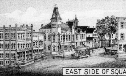
Assonet was a busy fishing port in the 1700s, known for its trout, and the 1800s were perhaps its most industrious century, with railroads, ships, a place on the stagecoach and mail routes, and factories. Route 79 roughly follows the old mail and stage road from Rhode Island to Boston, and the Green Dragon Tavern on South Main Street was a favorite stop. A bandstand built in the 1930s now stands on the tavern’s site at the Assonet Four Corners. Some of the oldest houses have white chimneys with black rings, which its page says were the sign of homes that sided with the British in the Revolution. The N. R. Davis gun factory made many weapons for Union soldiers in the Civil War, until it burned in 1925 near where Hathaway Park is now. The post office first opened in 1811 at the corner of Elm and North Main streets and has run without a break ever since, on South Main Street since 1962. During World War II, the Monument Manufacturing Company on Mill Street was the country’s largest maker of sleeping bags.
On Taunton Hill stand North Church of 1809, the Town Hall of 1888 and the Guilford H. Hathaway Library of 1895, all part of the Assonet Historic District, on the National Register since 1999. The Assonet River becomes tidal near the Elm Street Bridge and widens into Assonet Bay, and every Fourth of July the town sets off fireworks over the river. The Strawberry Festival, held each Father’s Day by the Tuesday Club of Assonet, is one of the town’s big yearly events.
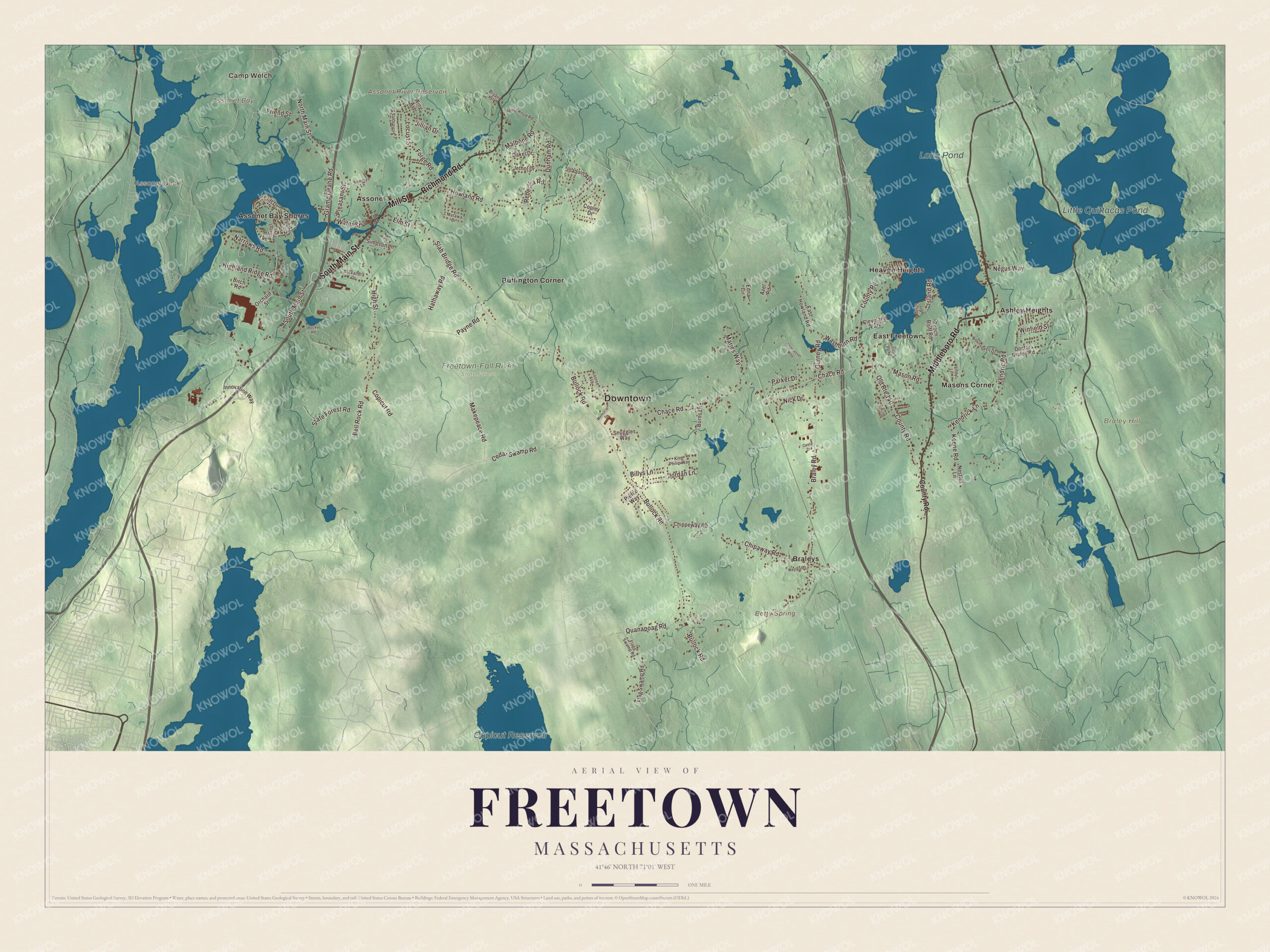
Click to explore a larger preview. The digital watermark does not appear on printed maps.
Names on this map
These names are printed on this map.
Places: Downtown, Camp Welch, Assonet Bay, Assonet Neck, Braley Hill, Assonet River Reservoir, Betty Spring, Long Pond, Copicut Reservoir, Little Quittacas Pond, Freetown-Fall River State Forest, Ashley Heights, Assonet, Assonet Bay Shores, Braleys, Buffington Corner, East Freetown, Heaven Heights, Masons Corner, Cleveland Park and Hilltop Park.
Streets and roads: Mill Street, Middleboro Road, Richmond Road, South Main Street, Elm Street, Slab Bridge Road, Chace Road, Howland Road, Kendrick Lane, Gurney Road, Old Route 140, Braley Road.
More street names, A to Z
Alexandra Drive, Assonet Boulevard, Azel Road, Baker Street, Beech Bluff Road, Beechwood Road, Bell Rock Road, Billys Lane, Birch Road, Bryant Street, Bullock Road, Burns Lane, Cedar Swamp Road, Chipaway Road, Chippeway Road, Cliff Drive, Copicut Road, Copley Drive, Costa Drive, County Road, Dakel Drive, Doctor Braley Road, Dunham Road, East Howland Road, Edna Circle, Flagg Swamp Road, Flag Swamp Road, Forge Road, Friend Street, Gramp Deane Road, Hathaway Road, Hawes Drive, Highland Ridge Road, High Street, Huron Avenue, Innovation Way, Island Road, Jethol Drive, Jillian Drive, Joaquin Avenue, Jordan Lane, Keene Road, Kendric Road, Kendyl Lane, King Philip Way, Locust Street, Louise Avenue, Makepeace Road, Malbone Road, Maries Way, Mason Road, Matawa Drive, Memorial Drive, Narrows Road, Negus Way, Nestles Lane, Nick Drive, North Main Street, Orchard Street, Parker Drive, Payne Road, Pierce Way, Pleasant Street, Quanapoag Road, Rebecca Road, Rocky Road, Rounsevell Drive, Sammys Lane, Simmons Street, Simpson Lane, Snuggles Way, State Forest Road, Thomasset Way, Washburn Road, Water Street, Westgate Lane, Winfield Street, Wing Avenue.
See it on a wall
The Freetown map as a framed print. Swipe for more.


The forest and the ponds
The Freetown-Fall River State Forest covers more than 5,000 acres, about a third of Freetown, and lies between Assonet and East Freetown. On Joshua’s Mountain stands Profile Rock, a granite outcrop that local Wampanoag have held to be the face of Massasoit, and the forest also holds a 227-acre Pocasset reservation. East Freetown sits on Long Pond, a 1,721-acre lake shared with Lakeville that helps supply New Bedford’s drinking water, and the town beach and a town harbor are on its shore. Little Quittacas Pond lies in Lakeville and Rochester, one of the five great ponds of southeastern Massachusetts. Assonet Neck, at the mouth of the bay, is in Berkley, where the Assonet River joins the Taunton.
Around the map
Start with Ashley Heights, then follow Mill Street, Middleboro Road, Richmond Road, South Main Street, Elm Street and Slab Bridge Road across town. Look outward toward Assonet, Assonet Bay Shores, Braleys, Buffington Corner and East Freetown. Long Pond, the Copicut Reservoir, Little Quittacas Pond, Braley Hill, Assonet Bay and Assonet Neck are all printed on the map.
The Freetown map makes a fine addition to an office, library or den, and it can help teach children the geography and history of one of the old towns of Plymouth Colony. It’s made for people who call Freetown home, from Assonet to East Freetown, and it shows the town as it looks today. Zoom in on the preview above to explore the details, then click here to get your copy of the Freetown, Massachusetts map.

Sources
- Freetown, Massachusetts, Wikipedia
- Assonet, Massachusetts, Wikipedia
- East Freetown, Massachusetts, Wikipedia
- Marcus Morton, Wikipedia
- Assonet River, Wikipedia
- Freetown-Fall River State Forest, Wikipedia
- Long Pond (Lakeville, Massachusetts), Wikipedia
- Little Quittacas Pond, Wikipedia
- City and Town Incorporation and Settlement Dates, Secretary of the Commonwealth of Massachusetts (archived copy)