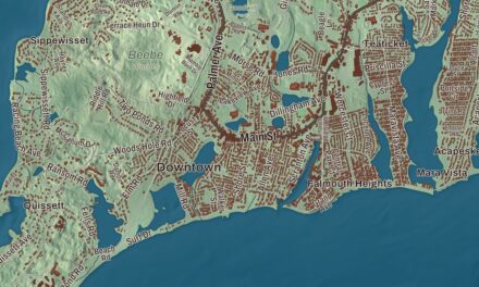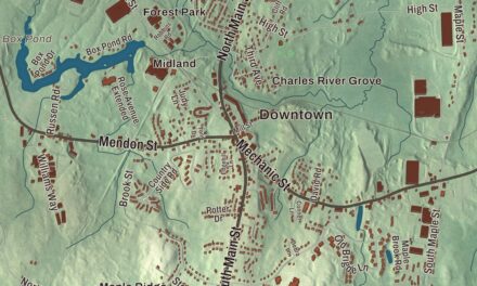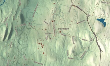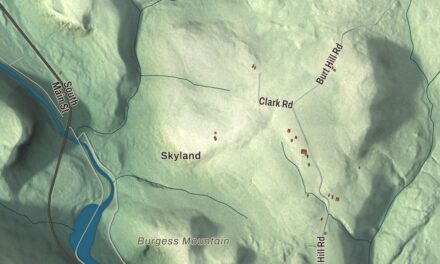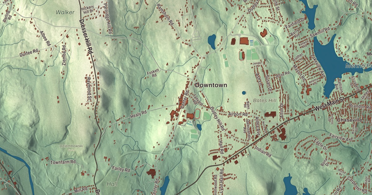
Dudley runs along the French River on its Webster line, and its town center, home to Nichols College and the Black Tavern, is on Dudley Center Road. This map prints West Main Street, Schofield Avenue, Lower Schofield Avenue, Southbridge Road, Dudley Southbridge Road and Dresser Hill Road, with Merino Pond, Baker Pond, Blood Pond, Pierpoint Meadow Pond, Dresser Hill and Merino Village. Click here to purchase a print of this map for your wall.
Dudley is in Worcester County, on the Connecticut line between Webster and Southbridge.
KNOWOL made this map in 2026 from public survey data and gave it the look of an old atlas. The relief comes from United States Geological Survey elevation data, and the roads and the town line come from the Census Bureau. Dudley covers 22.1 square miles, with Oxford to the northeast, Charlton to the north, Southbridge to the west, Woodstock and Thompson, Connecticut, to the south and Webster to the east. The town had 11,921 people at the 2020 census.
Nipmuc land and Dudley Hill
Before the town was settled, Dudley Hill was a Nipmuc village centered on Lake Chaubunagungamaug. By the 1670s the Chaubunagungamaug Nipmuck had come under the missionary influence of John Eliot, a praying town called Chabanakongkomun was set up in 1674, and the people were granted a reservation in 1682. The colonial officials Joseph Dudley and William Stoughton bought the land in 1681. The Town of Dudley’s recorded history, in the Secretary of the Commonwealth’s list, dates European settlement to 1714. Dudley was incorporated as a town in 1732, named for the proprietors William and Paul Dudley, and the town remains part of Worcester County today. The French River, which runs along the line with Webster, is named for a settlement of French Huguenot refugees in Oxford led by Gabriel Bernon.
In April 1776, marching from Boston to New York after the siege of Boston, General George Washington camped in Dudley with the Continental Army along what is now part of Route 31 near the Connecticut border. A story says a large cache of captured British weapons and supplies was hidden in the ground along the route and never recovered. Dudley sat about halfway between Boston and Hartford, and the stagecoaches stopped here. Around 1803 Hezekiah Healy built the Black Tavern on Dudley Center Road, one of the town’s finest Federal-style buildings; the story goes that he painted it black because that color needed less upkeep. Nichols College used it as a dormitory until 1980, and then it went to the Black Tavern Society, a local nonprofit formed to preserve it.
Nichols Academy to Nichols College
Amasa Nichols, a wealthy Dudley industrialist, founded Nichols Academy in the town center in the 1810s as a Universalist school, with help from textile men including Samuel Slater. It later taught boys and girls from 12 to 21, served as Dudley’s high school from 1871 to 1909, and then closed. In 1931 James L. Conrad opened Nichols Junior College on the old academy grounds, and it grew into Nichols College, a four-year business school since 1958. On July 5, 1909, the Sons and Citizens of Dudley put up the Dudley Soldiers War Memorial in front of the First Congregational Church, honoring the town’s veterans of the Revolution, the Civil War and the Spanish-American War.
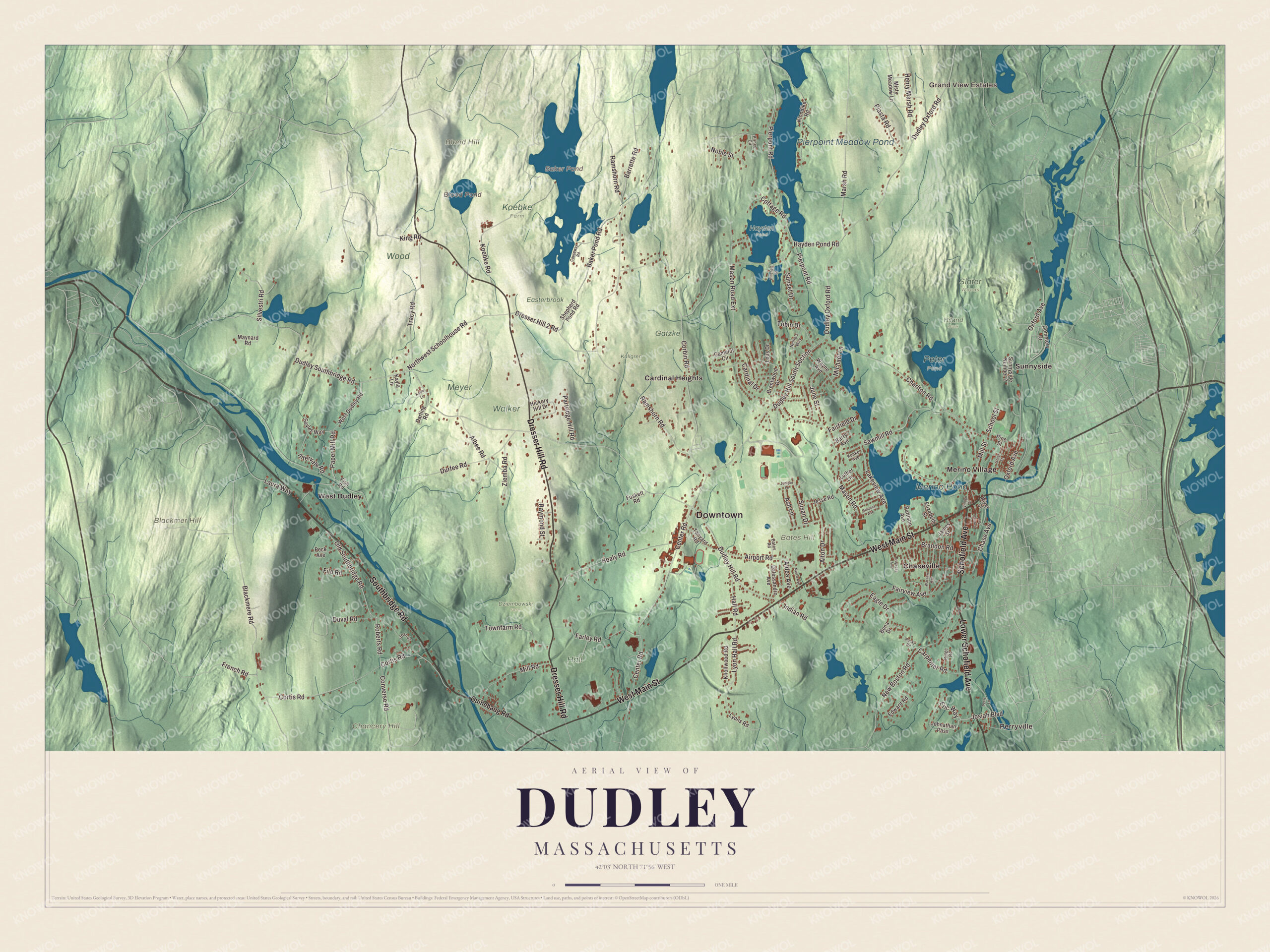
Click to explore a larger preview. The digital watermark does not appear on printed maps.
Names on this map
These names are printed on this map.
Places: Downtown, Perryville, Grand View Estates, Bates Hill, Blackmer Hill, Blood Hill, Chancery Hill, Baker Pond, Blood Pond, Pierpoint Meadow Pond, Merino Pond, Dziembowski Farm, Easterbrook, Gatzke, Hall, Hayden Pond, Hiland Park, Kallgren, Koebke Farm, Meyer, Peter Pond, Slater Woods, Walker, Wood, Cardinal Heights, Chaseville, Merino Village, Sunnyside and West Dudley.
Streets and roads: Lower Schofield Avenue, Southbridge Road, Schofield Avenue, West Main Street, Dresser Hill Road, Dudley Southbridge Road, Center Road, Dudley Oxford Road, Mason Road, Carpenter Road, Baker Pond Road, Charlton Road.
More street names, A to Z
Airport Road, Albee Road, Aldea Avenue, Alton Drive, Ash Lane, Barrette Road, Barry Avenue, Bates Road, Blackmere Road, Bona Drive, Brandon Road, Brentwood Drive, Camelot Circle, Cardinal Drive, Causeway Road, Cemetery Drive, Central Avenue, Chase Avenue, Converse Road, Corbin Road, Cortis Road, Cottage Road, Dalessandro Avenue, Darling Road, Delaney Avenue, Dresser Hill 2 Road, Dudley Hill Road, Dudley Hill South Section, Durfee Road, Duval Road, Eagle Drive, Edward Road, Elizabeth Street, Eric Way, Fairfield Drive, Fairview Avenue, Farley Road, Filo Road, Fish Road, Foskett Road, French Road, Green Street, Hall Road, Hayden Pond Road, Healy Road, Henry Marsh Road, Hickory Hill Drive, Hillcrest Street, Indian Road, Intervale Road, James Street, Jean Street, Jesse Road, Johnathan Pass, Josiah Boulevard, June Street, Juniper Lane, Katie Lane, Kayla Lane, King Road, Klondike Road, Knollwood Road, Koebke Road, Konkel Avenue, Lakeview Avenue, Laura Way, Lous Drive, Luther Lane, Lyon Hall Road, Lyons Road, Marsh Road, Mason Road Extension, Maynard Road, Michael Lane, Mill Road, Mill Street, Misty Meadow Lane, Nelco Avenue, Nellie's Way, New Boston Road, Noble Street, Northwest Schoolhouse Road, Old Southbridge Road, Oxford Avenue, Paper Mill Road, Partridge Hill Road, Pattison Avenue, Peck Avenue, Perry Lane, Piasta Road, Pierpont Road, Pine Street, Prince Circle, Progress Avenue, Quinebaug Road, Ramshorn Road, Raymond Street, Ridge Road, River Street, Roberts Road, Rocky Road, Sawmill Road, Sayles Way, School Street, Shepherd Pond Road, Silvestri Road, Sunnyside Number 2, Sunset Drive, Susan Drive, Tanyard Road, Tobin Drive, Townfarm Road, Tracy Road, Village Street, Warsaw Avenue, Wayne Avenue, West Dudley Road, Ziemba Road.
Boots, linen and mill villages
The town’s page says Dudley was the main maker of the “Brogan boots” worn by the Union Army and produced most of the standard Union uniforms in the Civil War. In the 1860s Henry Hale Stevens built the Stevens Linen Mill, a five-story U of granite with two seven-story towers, and it made linen and flax fabric into the 1990s. The mill, nine more buildings, a mill pond and a dam make up the Stevens Linen Works Historic District, listed on the National Register in 2010. The public library opened in 1897, and its newer building stands where the old town hall once was.
Around the map
Start with Perryville, then follow Lower Schofield Avenue, Southbridge Road, Schofield Avenue, West Main Street, Dresser Hill Road and Dudley Southbridge Road across town, and look outward toward Cardinal Heights, Chaseville, Merino Village, Sunnyside and West Dudley. Dudley has traditionally had its closest ties with Webster, across the French River. Baker Pond, Blood Pond, Pierpoint Meadow Pond, Merino Pond, Bates Hill, Blackmer Hill, Dresser Hill and Blood Hill are all printed on the map.
The Dudley map makes a fine addition to an office, library or den, and it can help teach children the geography and history of a town incorporated in 1732. It’s made for people who call Dudley home, from Perryville to West Dudley, and it shows the town as it looks today. Zoom in on the preview above to explore the details, then click here to get your copy of the Dudley, Massachusetts map.

We made a map for every town and city in Massachusetts. Explore the complete Massachusetts map collection and find your town.
Sources
- Dudley, Massachusetts, Wikipedia
- Webster/Dudley Band of Chaubunagungamaug Nipmuck Indians, Wikipedia
- French River, Wikipedia
- Black Tavern, Wikipedia
- Nichols College, Wikipedia
- Stevens Linen Works Historic District, Wikipedia
- City and Town Incorporation and Settlement Dates, Secretary of the Commonwealth of Massachusetts (archived copy)