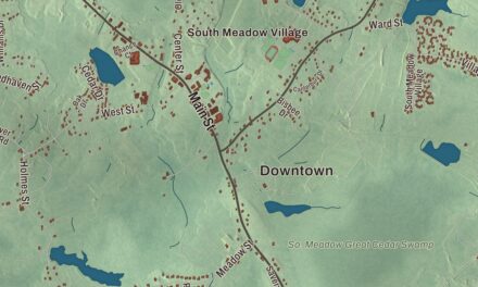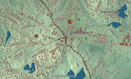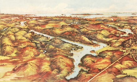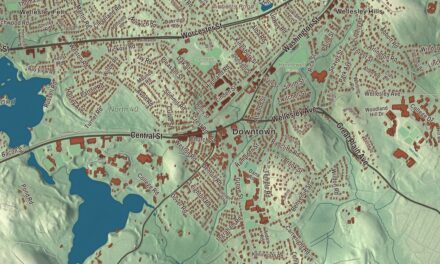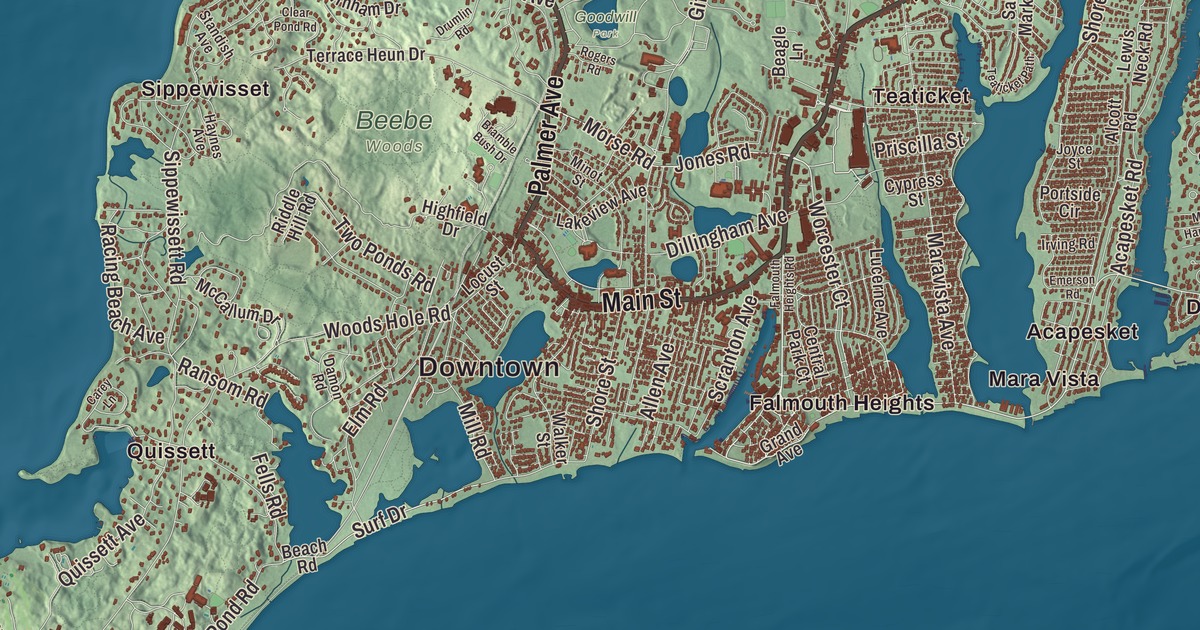
Falmouth wraps around the southwest corner of Cape Cod, with Buzzards Bay on one side, Vineyard Sound on the other and Woods Hole at the very tip. This map prints Main Street, Palmer Avenue, the Teaticket Highway, the East Falmouth Highway, the West Falmouth Highway and the North Falmouth Highway, with Ashumet Pond, Johns Pond, Beach Pond, Eel Pond, Amrita Island, Silver Beach and Bournes Neck. Click here to purchase a print of this map for your wall.
Falmouth is in Barnstable County, on Cape Cod.
KNOWOL made this map in 2026 from public survey data and gave it the look of an old atlas. The relief comes from United States Geological Survey elevation data, and the roads and the town line come from the Census Bureau. Falmouth covers 54.4 square miles, and 10.3 of them are water. Bourne and Sandwich lie to the north and Mashpee to the east, with Vineyard Sound to the south and Buzzards Bay to the west, and the town’s closest point is only about 560 yards from Nonamesset Island. Falmouth had 32,517 people at the 2020 census, second on Cape Cod only to Barnstable.
Gosnold’s home port
Bartholomew Gosnold named this place for Falmouth in Cornwall, England, his home port. The Town of Falmouth’s recorded history, in the Secretary of the Commonwealth’s list, dates European settlement to 1660, when English colonists arrived, and Falmouth was incorporated as a town in 1686. It remains part of Barnstable County today. The early town farmed, made salt, shipped, whaled and raised sheep, which took off with the arrival of Merino sheep and water-powered mills that could process the wool, and by 1837 Falmouth averaged about 50 sheep per square mile. The town stood up to the British twice. In 1779 the town militia fought a five-hour battle at Woods Hole and turned back British landing parties from a fort on what is now Surf Drive Beach, and in the War of 1812 the militia dug in on the beaches when British warships fired on Falmouth Heights.
The railroad reached Falmouth and Woods Hole by 1872, and the first summer homes followed. By the late 1800s farmers were growing cranberries and raising strawberries for the Boston market. James Madison Beebe bought more than 700 acres and built Highfield Hall, now a museum, and much of his land is preserved as Beebe Woods. The College Light Opera Company has played the Highfield Theatre every summer since 1969. Falmouth has seven historic districts, among them the Falmouth Village Green, Waquoit, Davisville and the villages of North and West Falmouth.
America the Beautiful
Katharine Lee Bates was born in Falmouth in 1859, the daughter of the town’s Congregational minister, and her family’s home stood on Main Street. She wrote the first draft of “America the Beautiful” in the summer of 1893, while teaching in Colorado, and she’s buried in Oak Grove Cemetery in Falmouth. The Shining Sea Bikeway is named in her honor. It runs 10.7 miles on an old railroad bed from the ferry terminal in Woods Hole to County Road in North Falmouth, passing a block from the Bates home, and its page calls it the oldest rail trail in Massachusetts.
In 1965 Robert Manry sailed from Falmouth in a sailboat 13.5 feet long and reached Falmouth, England, 78 days later. Each summer the Falmouth Road Race runs 7 miles from Woods Hole to Falmouth Heights. It started in 1973 with about 100 runners, after a Boston and Falmouth bartender named Tommy Leonard watched Frank Shorter win the Olympic marathon and wished he could get him to run a race on Cape Cod.
Woods Hole
Woods Hole, at the far southwest tip of the Cape, was once a whaling and shipping village with one of the few good harbors on the south side of Cape Cod. Today it’s home to a cluster of marine science institutions. The federal fisheries station that started the scientific community here dates to 1871. The Marine Biological Laboratory was founded in 1888, and 63 Nobel Prize winners had worked or studied there as of 2024. The Woods Hole Oceanographic Institution, established in 1930, is the largest independent oceanographic research institution in the country. The little Woods Hole Science Aquarium says it’s the oldest aquarium in the United States. Nobska Light has watched over the meeting of Buzzards Bay, Vineyard Sound and Nantucket Sound since 1828, and its iron tower dates to 1876. The ferries to Martha’s Vineyard leave from Woods Hole.
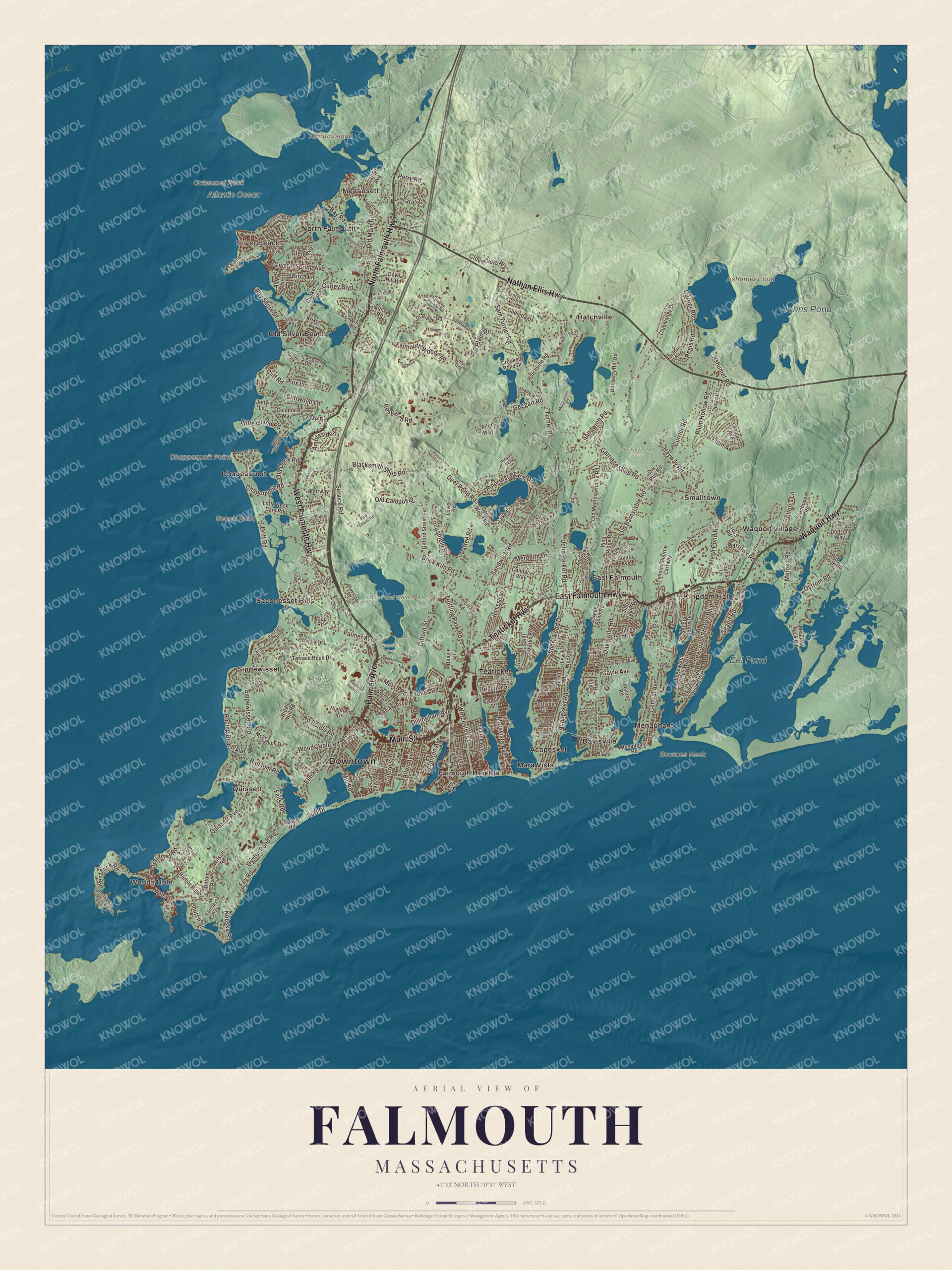
Click to explore a larger preview. The digital watermark does not appear on printed maps.
Names on this map
These names are printed on this map.
Places: Downtown, Woods Hole, Megansett, Silver Beach, Amrita Island, Bournes Neck, Cataumet Rock, Chappaquoit Point, Ashumet Pond, Beach Pond, Johns Pond, Eel Pond, Atlantic Ocean, Beebe Woods, Goodwill Park, Hayway Road Woods, Long Pond Watershed, Acapesket, Chappaquoit, Davisville, East Falmouth, Falmouth Heights, Hatchville, Kingdom Hall, Mara Vista, Menauhant, North Falmouth, Old Silver Beach, Quissett, Saconesset Hills, Sippewisset, Smalltown, Teaticket and Waquoit Village.
Streets and roads: West Falmouth Highway, North Falmouth Highway, East Falmouth Highway, Teaticket Highway, Palmer Avenue, Main Street, Nathan Ellis Highway, Waquoit Highway, Jones Road, Worcester Court, Barrows Road, Central Avenue.
More street names, A to Z
Acapesket Road, Alcott Road, Alder Lane, Allen Avenue, Althea Road, Alton's Lane, Ambleside Drive, Andrews Street, Antlers Shore Drive, Ashton Avenue, Ashumet Road, Associates Road, Atamannsit Road, Baptiste Lane, Bay Road, Bay Shore Drive, Beach Road, Beagle Lane, Beccles Road, Benjamin Nye Lane, Birch Lane, Blacksmith Shop Road, Blair Lane, Bonito Avenue, Bonnie Lane, Boxberry Hill Road, Braeside Road, Bramble Bush Drive, Brick Kiln Road, Brush Hill Circle, Burnham Drive, Cairn Ridge Road, Candace Way, Carey Lane, Carriage Shop Road, Castle Road, Central Park Court, Chapoquoit Road, Chase Road, Church Street, Clear Pond Road, Cliff Road, Cliffwood Lane, Cloverfield Way, Club Valley Drive, Colonial Way, Coonamessett Circle, Corte Real Avenue, County Road, Cranberry Field Road, Crooked Pond Drive, Cross Road, Crystal Spring Avenue, Curley Boulevard, Currier Road, Cutter Drive, Cypress Street, Dale Drive, Damon Road, Davisville Road, Deep Wood Road, Deer Pond Road, Dillingham Avenue, Dodson Way, Doran Drive, Dove Hill Road, Drift Road, Drumlin Road, Dry Run Road, Edgerton Drive, Edgewater Drive East, Edgewater Drive West, Elain Avenue, Elm Road, Emerson Road, Ennsbrook Drive, Fairway Lane, Fairway Pointe Road, Falmouth Heights Road, Falmouth Woods Road, Fay Road, Fells Road, Fire Tower Road, Fordham Road, Foster Road, Fox Lane, Frederick Road, Fresh Pond Road, Friends Way, Gansett Road, Gardiner Road, Garnet Avenue, Gayle Avenue, Geggatt Road, Gifford Street, Gifford Street Extension, Glen Avenue, Goeletta Drive, Grace Court, Grand Avenue, Green Acres Road, Green Pond Road, Grouse Street, Grove Street, Harbor Hill Road, Hatchville Road, Haynes Avenue, Hayway Road, Highfield Drive, High Street, Highwood Lane, Hill & Plain Road, Hilton Avenue, Homestead Lane, Irving Road, Jae Road, Jetty Lane, John Parker Road, Joyce Street, Krikor Drive, Lake Shore Drive, Lakeview Avenue, Larches Way, Lewis Neck Road, Little Island Road, Little Neck Bars Road, Locustfield Road, Locust Street, Loop Road, Lower Road, Lucerne Avenue, Maravista Avenue, McCallum Drive, Meadow Neck Road, Menauhant Road, Meredith Drive, Metoxit Road, Mill Road, Minot Street, Misty Harbor Lane, Monhegan Road, Morse Road, Nobska Road, Old Barnstable Road, Old Campus Drive, Old Dock Road, Old Main Road, Old Meeting House Road, Old Waquoit Road, Ostrom Road, Oxbow Road, Oyster Pond Road, Paola Drive, Parsons Lane, Pattee Road, Pebble Lane, Penzance Point Road, Penzance Road, Perciva Road, Perry Road, Pilot Way, Pinecrest Beach Drive, Pine Ridge Road, Pinyon Way, Plum Hollow Road, Point Road, Portside Circle, Priscilla Street, Quaker Road, Quissett Avenue, Racing Beach Avenue, Rand Beach Road, Ransom Road, Red Brook Road, Regis Road, Research Road, Rickenbacker Road, Riddle Hill Road, Rockledge Drive, Rogers Road, Ronnie Road, Saconesset Road, Saddleback Lane, Sailfish Drive, Saint Marks Road, Sam Turner Road, Sandwich Road, Santuit Road, Sao Paulo Drive, Scranton Avenue, Seacoast Shores Boulevard, Seapit Road, Service Road, Shady Lane, Shore Street, Shorewood Drive, Sippewissett Road, Snug Harbor Lane, Sorrel Circle, Squibnocket Drive, Standish Avenue, Stanhope Road, Summit Lane, Sunfish Lane, Surf Drive, Surrey Lane, Tara Lane, Teaticket Path, Terrace Heun Drive, Terry Lou Avenue, Timothy Bourne Cartway, Tobey Lane, Trotting Park Road, Tupelo Road, Turner Road, Two Ponds Road, Upalong Road, Walker Street, Waquoit Landing Road, Waterside Drive, Water Street, Willow Field Drive, Wilson Road, Wing Road, Woods Hole Road.
See it on a wall
The Falmouth map as a framed print. Swipe for more.


Around the map
Start with Woods Hole, then follow the West Falmouth Highway, the North Falmouth Highway, the East Falmouth Highway, the Teaticket Highway, Palmer Avenue and Main Street across town. Look outward toward Megansett, Silver Beach, Acapesket, Chappaquoit and Davisville. Teaticket’s name comes from a Wampanoag word for “at the principal tidal stream,” and it fits the south shore well. Along the south shore, a row of ponds and inlets runs deep into the town, from Falmouth Inner Harbor and Great Pond to Eel Pond, which leads to the Childs River, and Waquoit Bay on the Mashpee line. Ashumet Pond, Beach Pond, Johns Pond, Eel Pond, Amrita Island, Silver Beach and Bournes Neck are all printed on the map.
The Falmouth map makes a fine addition to an office, library or den, and it can help teach children the geography and history of a Cape Cod town between two seas. It’s made for people who call Falmouth home, from Woods Hole to Waquoit, and it shows the town as it looks today. Zoom in on the preview above to explore the details, then click here to get your copy of the Falmouth, Massachusetts map.

Sources
- Falmouth, Massachusetts, Wikipedia
- Katharine Lee Bates, Wikipedia
- Shining Sea Bikeway, Wikipedia
- Falmouth Road Race, Wikipedia
- Woods Hole, Massachusetts, Wikipedia
- Marine Biological Laboratory, Wikipedia
- Woods Hole Oceanographic Institution, Wikipedia
- Woods Hole Science Aquarium, Wikipedia
- Nobska Light, Wikipedia
- Teaticket, Massachusetts, Wikipedia
- City and Town Incorporation and Settlement Dates, Secretary of the Commonwealth of Massachusetts (archived copy)