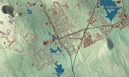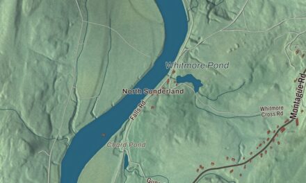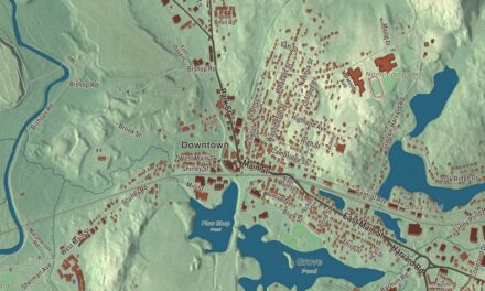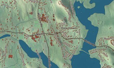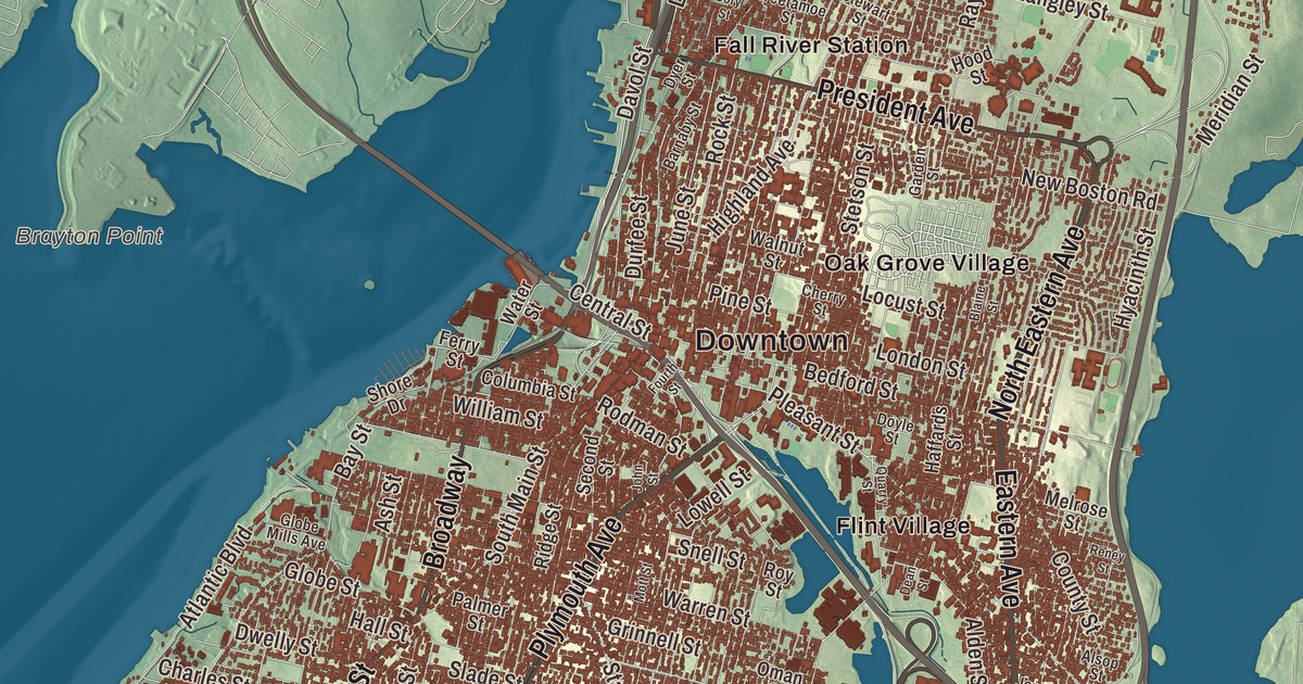
Fall River climbs straight up from the water, from Battleship Cove and the Taunton River to the granite mills on the hill and the long Watuppa Ponds beyond. This map prints South Main Street, President Avenue, Plymouth Avenue, Eastern Avenue, North Eastern Avenue and Broadway, with Watuppa Pond, South Watuppa Pond, Cook Pond, Copicut Hill, Cook Hill, the Watuppa Reservation, Flint Village and Globe Village. Click here to purchase a print of this map for your wall.
Fall River is in Bristol County, on the Rhode Island line.
KNOWOL made this map in 2026 from public survey data and gave it the look of an old atlas. The relief comes from United States Geological Survey elevation data, and the roads and the city line come from the Census Bureau. Fall River covers 40.2 square miles, 33.1 of them land, on the eastern shore of Mount Hope Bay at the mouth of the Taunton River, with Tiverton, Rhode Island, to the south and Freetown to the north. Most of the city is built on hillsides that rise steeply from the water to more than 200 feet. It had 94,000 people at the 2020 census, making it the tenth-largest city in Massachusetts.
The falling river
When the Plymouth Colony was founded, this was the land of the Pocasset Wampanoag. The city is named for the Quequechan River, a Wampanoag name believed to mean “falling river,” which runs 2.5 miles from South Watuppa Pond through the heart of the city. In its last half mile it once tumbled down eight falls into the Taunton River. The City of Fall River’s recorded history, in the Secretary of the Commonwealth’s list, dates European settlement to 1656. Fall River was part of Freetown until 1803, when it was incorporated as a town. A year later it changed its name to Troy, and it went back to Fall River in 1834. It was incorporated as a city in 1854, with James Buffington as its first mayor. The southern end, below today’s Columbia Street, stayed part of Tiverton, Rhode Island, until the Supreme Court moved the state line in 1861 and joined the two Fall Rivers into one Massachusetts city.
The city’s motto is “We’ll Try.” It goes back to July 1843, when a fire swept through the center of town and destroyed more than 200 buildings, and someone hung a banner with those two words in the smoking rubble. In 1835 Elizabeth Buffum Chace and her sisters had founded the Fall River Female Anti Slavery Society, a group formed so that free Black women could join as full members, and one of its delegates went to the antislavery convention of American women in Philadelphia in 1838.
The Spindle City
Its page calls the Quequechan’s eight falls the best tidewater privilege in southern New England. In 1811 Colonel Joseph Durfee, a hero of the Battle of Freetown, built the Globe Manufactory at the outlet of Cook Pond, near today’s Globe Four Corners, and though that mill itself didn’t do especially well, it began the city’s time as a mill town. The Fall River Iron Works followed, and the Borden family went on to lead the industry. Once the river’s power was used up, better steam engines made bigger mills possible, starting with the Union Mills in 1859, and by 1868 Fall River had passed Lowell as the leading textile city in America. In 1871 and 1872 alone, 15 new companies built 22 new mills. By 1876 the Spindle City had a sixth of all New England’s cotton capacity and was second in the world only to Manchester, England, in output. Thousands of workers, many of them Irish and French Canadian, came to run the machines, and most of them lived in wood-framed three-decker tenements.
Much of the city is built on its own granite, a gray-pink stone quarried here, and most of the mills on the hill were built of it. The Flint Mills, founded in 1872 and named for John D. Flint, gave Flint Village its name, and the mill complex on Alden Street, near the Quequechan, is on the National Register of Historic Places. From 1847 to 1937 the Fall River Line ran trains from Boston to the city’s wharves, where passengers boarded luxurious steamboats for New York. Fall River’s mill families also left their mark on the city’s churches and festivals, and the Great Feast of the Holy Ghost, held each August at Kennedy Park, draws more than 100,000 visitors.
Battleship Cove and the people of Fall River
Down at the waterfront, under the Braga Bridge, Battleship Cove is a museum and war memorial whose page says it holds the world’s largest collection of World War II naval vessels, led by the battleship USS Massachusetts. The ship’s own wartime crew fought to save her from the scrapyard. Next door, Fall River Heritage State Park has a boardwalk, a meadow for concerts and an antique carousel. Frederick Law Olmsted designed three of the city’s parks, including Kennedy Park on South Main Street, laid out in 1868, and North Park on President Avenue.
Bert Patenaude learned his soccer in the local leagues of his hometown, Fall River, and FIFA officially credits him with the first hat-trick in World Cup history, scored against Paraguay on July 17, 1930. Thomas J. Hudner Jr., born in Fall River, received the Medal of Honor for crash-landing his own plane on a frozen mountainside in Korea in 1950, trying to save his wingman, Ensign Jesse L. Brown. The city is also called the Scholarship City, after Irving Fradkin founded Dollars for Scholars here in 1958. Click here to learn more about the history of Fall River.
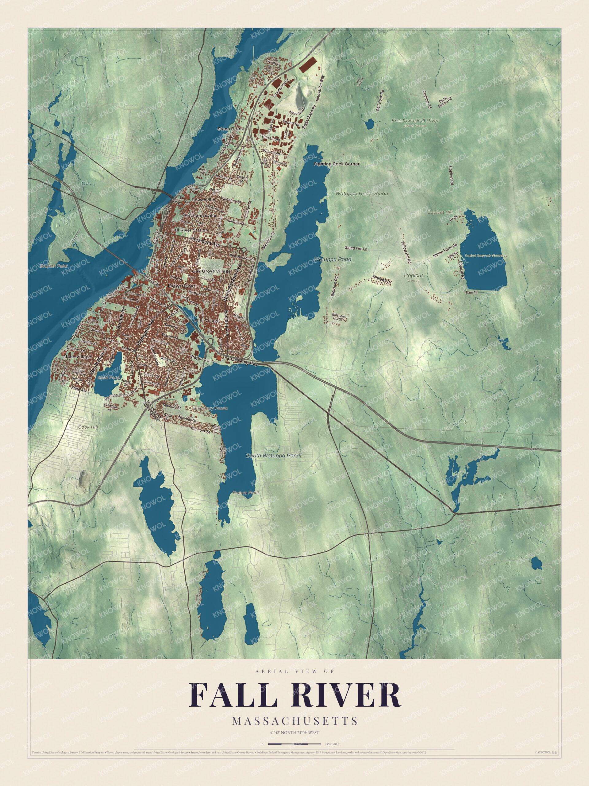
Click to explore a larger preview. The digital watermark does not appear on printed maps.
Names on this map
These names are printed on this map.
Places: Downtown, Brayton Point, Cook Hill, Copicut Hill, Fedora Point, Bleachery Ponds, Cook Pond, Watuppa Pond, South Watuppa Pond, Copicut Woods, Copicut Reservoir Watershed, Freetown-Fall River State Forest, Watuppa Reservation, Bowenville, Fall River Station, Fighting Rock Corner, Flint Village, Globe Village, Mechanicsville, Oak Grove Village and Steep Brook.
Streets and roads: Broadway, North Eastern Avenue, Eastern Avenue, President Avenue, South Main Street, Plymouth Avenue, Davol Street, Durfee Street, Brayton Avenue, Lindsey Street, Gated Fire Lane, North Main Street.
More street names, A to Z
Airport Road, Albert Street, Alden Street, Alsop Street, Arnold Street, Ash Street, Atlantic Boulevard, Barnaby Street, Bay Street, Bedford Street, Bell Rock Road, Blaine Street, Blossom Hill Drive, Blossom Road, Bolduc Lane, Cedar Swamp Road, Central Street, Charles Street, Cherry Street, Columbia Street, Columbus Drive, Commerce Drive, Copicut Road, Corbett Street, Cory Street, County Street, Cove Street, Currant Road, Dam Road, Dean Street, Detroit Street, Dexter Street, Doyle Street, Dwelly Street, Dyer Street, Elsbree Street, Ferry Street, Fourth Street, Four Winds Drive, Fulton Street, Garden Street, Globe Mills Avenue, Globe Street, Goodwin Street, Graham Road, Grand Army Highway, Grinnell Street, Haffards Street, Hall Street, Hancock Street, Harvard Street, Henry Street, Herman Street, Highland Avenue, Hood Street, Horvitz Road, Hyacinth Street, Indian Town Road, Innovation Way, Jefferson Street, Jepson Street, John Street, Joseph Drive, June Street, Kempton Street, Kilburn Street, Lake Avenue, Langley Street, Laurel Street, Lawton Street, Lewin Street, Locust Street, London Street, Lowell Street, Lynwood Street, Mariano Bishop Boulevard, Melrose Street, Meridian Street, Miller Street, Mohawk Drive, Mott Street, Mount Hope Avenue, New Boston Road, Newhall Street, Oman Street, Palmer Street, Peat Street, Pine Street, Pleasant Street, Point West Drive, Pr Drive, Quarry Street, Ray Street, Renaud Street, Reney Street, Ridge Street, Riggenbach Road, Rock Street, Rodman Street, Rolling Green Drive, Roy Street, Sawdy Pond Avenue, Second Street, Shore Drive, Shove Street, Slade Street, Snell Street, Spencer Street, Stafford Road, State Avenue, State Forest Road, Stetson Street, Stewart Street, Summit Street, Sykes Road, Timber Lane, Tower Street, Tucker Street, Valentine Street, Walnut Street, Warren Street, Water Street, Weaver Street, Weetamoe Street, William South Canning Boulevard, William Street, Wilson Road, Wood Street, Yellow Hill Road.
See it on a wall
The Fall River map as a framed print. Swipe for more.


Around the map
Start with Bowenville, then follow Broadway, North Eastern Avenue, Eastern Avenue, President Avenue, South Main Street and Plymouth Avenue across the city. Look outward toward Fall River Station, Fighting Rock Corner, Flint Village, Globe Village and Mechanicsville. East of town, the North Watuppa Pond has been the city’s drinking water since 1873, and its page counts it as the second-largest natural body of water in Massachusetts. Watuppa is a native word meaning “place of boats.” Copicut Hill, the highest point in Fall River at more than 404 feet, rises between the North Watuppa Pond and the Copicut Reservoir. Cook Pond, Watuppa Pond, South Watuppa Pond, the Copicut Reservoir Watershed, the Watuppa Reservation, Cook Hill and Copicut Hill are all printed on the map.
The Fall River map makes a fine addition to an office, library or den, and it can help teach children the geography and history of the old Spindle City. It’s made for people who call Fall River home, from Globe Village to the North End, and it shows the city as it looks today. Zoom in on the preview above to explore the details, then click here to get your copy of the Fall River, Massachusetts map.

Sources
- Fall River, Massachusetts, Wikipedia
- Elizabeth Buffum Chace, Wikipedia
- Flint Mills, Wikipedia
- Fall River Line, Wikipedia
- Battleship Cove, Wikipedia
- Fall River Heritage State Park, Wikipedia
- Bert Patenaude, Wikipedia
- Thomas J. Hudner Jr., Wikipedia
- Watuppa Ponds, Wikipedia
- City and Town Incorporation and Settlement Dates, Secretary of the Commonwealth of Massachusetts (archived copy)