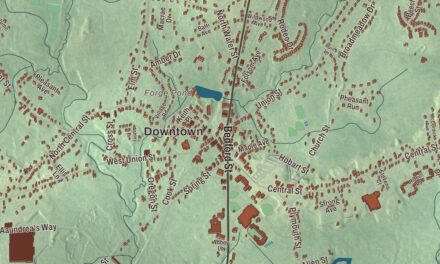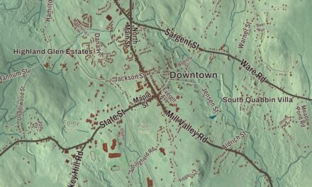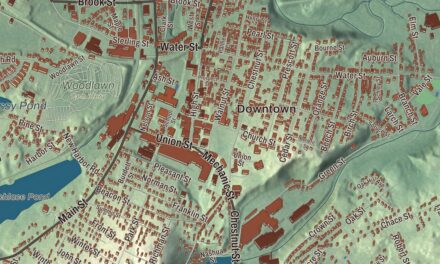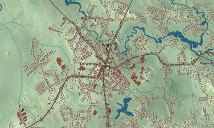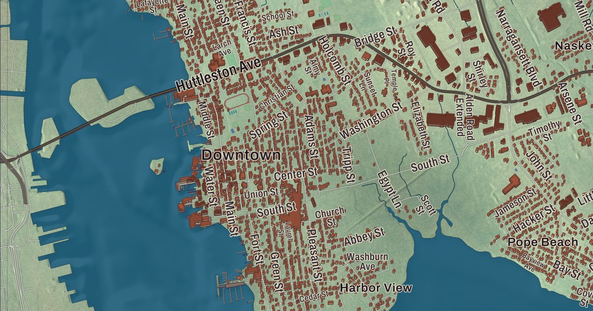
Fairhaven looks across the Acushnet River at New Bedford, and it’s a town of captains’ houses, old wharves and long necks of land reaching into Buzzards Bay. This map prints Huttleston Avenue, Main Street, Sconticut Neck Road, Doane Street, Alden Road and Windswept Drive, with the Acushnet River, Sconticut Neck, Eel Pond, Tinkham Pond and Brant Island. Click here to purchase a print of this map for your wall.
Fairhaven is in Bristol County, at the county’s southeastern corner.
KNOWOL made this map in 2026 from public survey data and gave it the look of an old atlas. The relief comes from United States Geological Survey elevation data, and the roads and the town line come from the Census Bureau. Fairhaven covers 14.1 square miles, 12.4 of them land. The river and New Bedford lie to the west, Acushnet to the north, Mattapoisett to the east and Buzzards Bay to the south, and West Island holds the easternmost point of Bristol County. The town had 15,924 people at the 2020 census.
Cushnea
The town’s page says Fairhaven was first settled in 1659 as Cushnea, the eastern end of Dartmouth, on land English settlers of Plymouth Colony bought from the Wampanoag leader Massasoit and his son Wamsutta. The Town of Fairhaven’s recorded history, in the Secretary of the Commonwealth’s list, dates European settlement to 1670. In 1787 the eastern part of Dartmouth became New Bedford, and Fairhaven split from New Bedford and was incorporated as a town in 1812, taking in all the land on the east bank of the Acushnet. Its northern end became the town of Acushnet in 1860. Fairhaven remains part of Bristol County today.
Fort Phoenix guards the mouth of the harbor. Within sight of it, on May 14, 1775, a band of 25 Fairhaven minutemen aboard the sloop Success took back two vessels a British warship had captured in Buzzards Bay, in what the town’s page calls the first naval battle of the American Revolution. In September 1778 the British burned ships in New Bedford, marched through Fairhaven to Sconticut Neck and destroyed the fort, but militia under Major Israel Fearing drove them off from the village. For a time it was called Fort Fearing, and in 1784 it was named for the phoenix, the bird that rose from its own ashes. Today it sits in a park beside a bathing beach and the harbor’s hurricane barrier.
Whalers and the people they brought home
Fairhaven was a whaling port too, and in 1838 it was the second-largest in the United States, with 24 ships sailing for the whaling grounds. As New Bedford came to lead the trade, Fairhaven became a town of shipwrights, chandlers, ropemakers, coopers and sailmakers, and a favorite place for owners and captains to build their homes. Herman Melville sailed from Fairhaven aboard the whaleship Acushnet in 1841. Joseph Bates, the sea captain who helped found the Seventh-day Adventist Church, grew up here, and his family home at 191 Main Street has been bought by Adventist Heritage to restore as a heritage site.
In 1841 the Fairhaven whaling captain William H. Whitfield rescued a 14-year-old Japanese fisherman, Nakahama Manjiro, after a wreck left him and four friends on the island of Torishima, and he brought the boy home. The boy studied English and navigation at the Oxford School in Fairhaven, and he was one of the first Japanese people to visit the United States. Back in Japan he translated Bowditch’s American Practical Navigator and served as an interpreter as his country opened to the world, and in 1870 he traveled to Fairhaven to visit the man he called his foster father. His son later gave the town a sword in thanks, and a replacement is on display at the library. Joshua Slocum came here in 1892 to look at an old oyster sloop called Spray, rotting in a field on Poverty Point, and spent thirteen months rebuilding her with fresh oak. In 1895 he set out in her and became the first person to sail alone around the world.
The gifts of Henry and Abbie Rogers
Henry Huttleston Rogers, born in Fairhaven in 1840, worked as a brakeman on the Fairhaven Branch Railroad before he went west to the oil fields and became one of the key men in John D. Rockefeller’s Standard Oil. He and his wife, Abbie Gifford Rogers, another Fairhaven native, gave the town a grammar school, a high school, the Town Hall, the Unitarian Memorial Church, the Millicent Library and a water and sewer system. The library, a Romanesque building by Charles Brigham dedicated in 1893, honors their daughter Millicent, who died at seventeen, and Mark Twain called it “ideal.” Twain also spoke at the dedication of the Town Hall on February 22, 1894. The Gothic Unitarian Memorial Church on Green Street, given in 1904 in memory of Rogers’s mother, is one hundred and fourteen feet tall. Fairhaven also gave the world William Le Baron Jenney, born here in 1832, whose Home Insurance Building in Chicago is considered the first skyscraper.
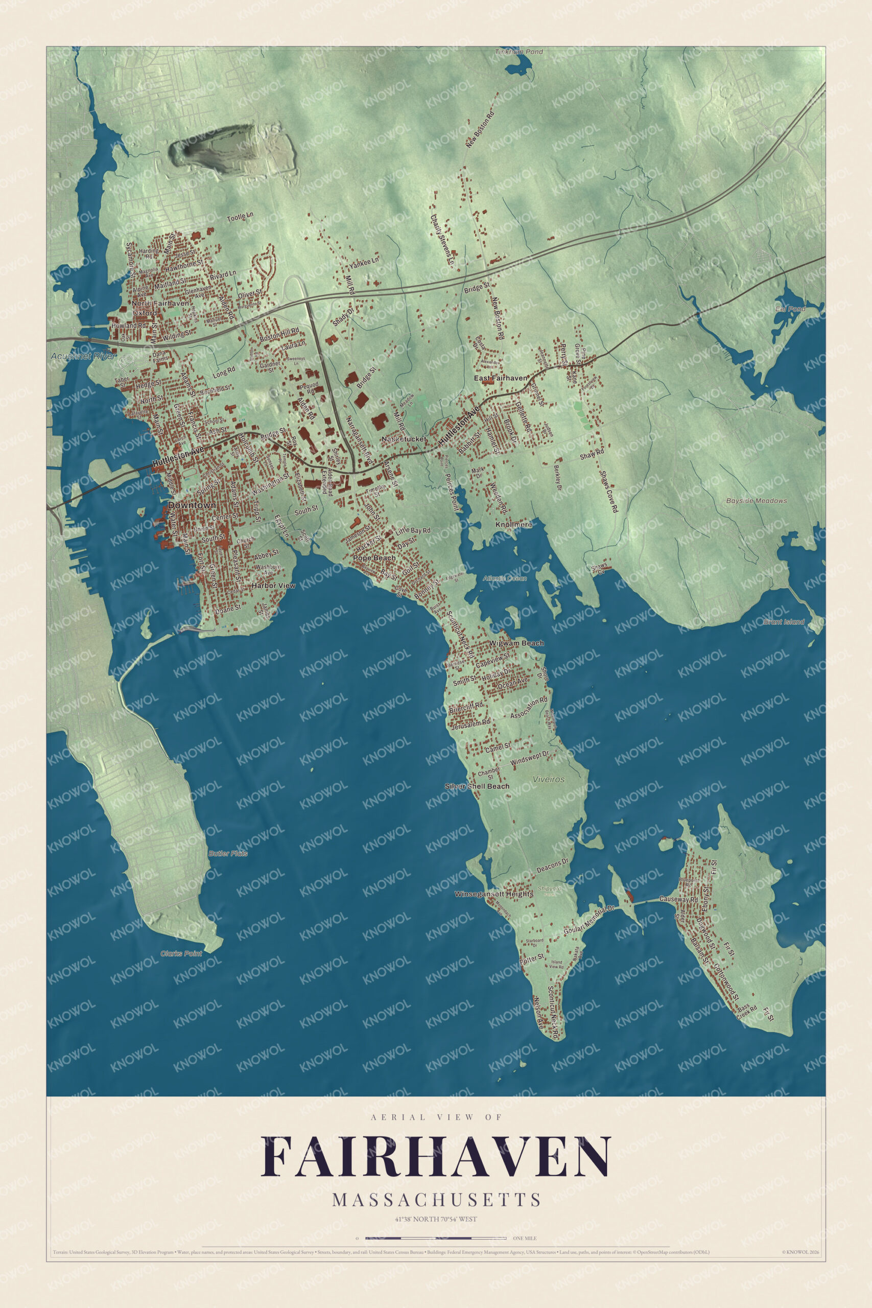
Click to explore a larger preview. The digital watermark does not appear on printed maps.
Names on this map
These names are printed on this map.
Places: Downtown, North Fairhaven, Oxford, Winsegansett Heights, Bayside Meadows, Brant Island, Butler Flats, Clarks Point, Eel Pond, Tinkham Pond, Acushnet River, Atlantic Ocean, Shipyard Farm, Viveiros, East Fairhaven, Harbor View, Knollmere, Nasketucket, Pope Beach, Silver Shell Beach and Wigwam Beach.
Streets and roads: Huttleston Avenue, Sconticut Neck Road, Main Street, Doane Street, Alden Road, Windswept Drive, Bridge Street, New Boston Road, Mill Road, Green Street, Adams Street, Balsam Street.
More street names, A to Z
Abbey Street, Alden Road Extended, Alder Street, Alexander Lane, Almy Street, Alpine Avenue, Arsene Street, Ash Street, Association Road, Babbitt Street, Bass Creek Road, Bay Street, Bayview Avenue, Berkley Drive, Bernese Street, Birchfield Street, Bluepoint Road, Bonney Street, Boston Hill Road, Briercliff Road, Brook Drive, Buist Avenue, Camel Street, Capeview Street, Causeway Road, Cedar Street, Center Street, Chamber Street, Charity Stevens Lane, Christian Street, Church Street, Costa Drive, Cottonwood Street, Cove Street, Dana Farms, Day Street, Deacons Drive, Dogwood Street, Ebony Street, Edgewater Street, Egypt Lane, Elizabeth Street, Fir Street, Forestview Drive, Fort Street, Francis Street, Gardner Street, Gellette Road, Glenhaven Avenue, Golf Street, Goulart Memorial Drive, Grinnel Street, Hacker Street, Hamlet Street, Harding Road, Hawthorne Street, Hedge Street, Hill Street, Holcomb Street, Holiday Drive, Hopkins Street, Howland Road, Island View Road, Jameson Street, James Street, Jeannette Street, Jerusalem Road, Jesse Street, John Street, Judson Drive, Kane Street, Lafayette Street, Larch Avenue, Laura Lane, Laurel Street, Little Bay Road, Long Road, Magnolia Avenue, Maitland Street, Manuel Street, Marguerite Street, Mark Drive, Meadow Lane, Middle Street, Monondach Avenue, Nakata Avenue, Narragansett Boulevard, Nelson Avenue, North Street, Oak Street, Ocean Avenue, Oliver Street, Orchard Street, Peirces Point, Pequod Road, Perry Street, Pierces Point, Pine Grove Street, Pleasant Street, Potter Street, Rivard Lane, Roy Street, School Street, Scott Street, Shady Drive, Shaw Road, Shaws Cove Road, Shaws Cv, Shirley Street, Shore Drive, Smith Street, South Street, Spring Street, Staffon Road, Starboard Drive, Sunset Lane, Sweeneys Lane, Sycamore Street, Taber Street, Temple Place, Timothy Street, Tootle Lane, Tripp Street, Union Street, Washburn Avenue, Washington Street, Water Street, Weeden Road, Widemarsh Beach Way, Wilding Street, Yankee Lane.
See it on a wall
The Fairhaven map as a framed print. Swipe for more.


Around the map
Start with North Fairhaven, then follow Huttleston Avenue, Sconticut Neck Road, Main Street, Doane Street, Alden Road and Windswept Drive across town. Look outward toward Oxford, Winsegansett Heights, East Fairhaven, Harbor View and Knollmere. Sconticut Neck and West Island reach out into Buzzards Bay, and the Phoenix Rail Trail follows an old railroad bed 5.2 miles from Fairhaven Center to Mattapoisett Center. Eel Pond, Tinkham Pond, the Acushnet River, the Atlantic Ocean and Brant Island are all printed on the map.
The Fairhaven map makes a fine addition to an office, library or den, and it can help teach children the geography and history of a whaling town on Buzzards Bay. It’s made for people who call Fairhaven home, from North Fairhaven to the end of Sconticut Neck, and it shows the town as it looks today. Zoom in on the preview above to explore the details, then click here to get your copy of the Fairhaven, Massachusetts map.

Sources
- Fairhaven, Massachusetts, Wikipedia
- Fort Phoenix, Wikipedia
- Joseph Bates (Adventist), Wikipedia
- Nakahama Manjiro, Wikipedia
- Spray (sailing vessel), Wikipedia
- Joshua Slocum, Wikipedia
- Henry Huttleston Rogers, Wikipedia
- Millicent Library, Wikipedia
- Fairhaven Town Hall, Wikipedia
- Unitarian Memorial Church, Wikipedia
- William Le Baron Jenney, Wikipedia
- City and Town Incorporation and Settlement Dates, Secretary of the Commonwealth of Massachusetts (archived copy)