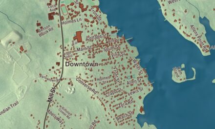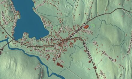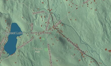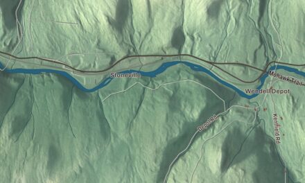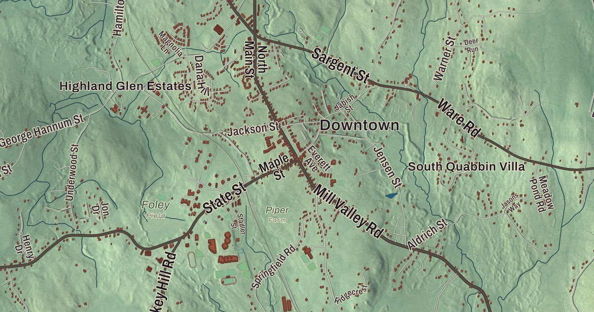
Belchertown folks can point you to the long common with its bandstand, the brownstone tower of the Clapp Memorial Library, and the road out to Dwight, once called Pansy Park for its flower gardens. This map prints Federal Street, Franklin Street, Mill Valley Road, Amherst Road, Daniel Shays Highway and Sargent Street, with Arcadia Lake, Forge Pond, Alden Pond, the Springfield Reservoir, the Quabbin Reservoir Reservation, Dodge Hill and East Hill. Click here to purchase a print of this map for your wall.
Belchertown is in Hampshire County, along the western shore of the Quabbin Reservoir.
KNOWOL made this map in 2026 from public survey data and gave it the look of an old atlas. The hills are shaded from United States Geological Survey elevation data, and the roads and the town line come from the Census Bureau. North of the center the town is hilly, part of the old Swift River Valley, and most of the rest is gently sloping plain and meadow. Belchertown covers 55.4 square miles and had 15,350 people at the 2020 census.
Cold Spring
Native trails crossed here, used by the Nipmuc, the Norwottuck and others, and artifacts found south of Dwight near Lake Metacomet point to people living in the area some 7,000 years ago. The town’s first name came from a spring. Native people used it long before travelers on the Hadley Trail, part of the Old Bay Path, made it a favorite watering place, and the settlement became Cold Spring, then Cold Spring plantation and Cold Spring township. The spring still runs, on the north side of Cold Spring Road west of Sabin Street, on land owned by the University of Massachusetts. Families were living at Cold Spring by July 1731, though the town page says the area was settled as early as 1727; the Town of Belchertown’s recorded history, in the Secretary of the Commonwealth’s list, dates European settlement to 1731. On June 23, 1761, the “plantation called Cold Spring” was incorporated as Belcher’s Town, named for Jonathan Belcher, the former royal governor, who is said never to have set foot in the place. The first town meeting, that September, elected a deer reeve and a hog reeve, the second to round up stray hogs for the town pound. The name was later shortened to Belchertown, and the town remains part of Hampshire County today.
The Old Bay Path and the common
The Old Bay Path came in from Ware, crossed the Swift River, followed roughly today’s Cold Spring Road to Mill Valley Road by the South Cemetery, set out in 1742, then ran up through the common and out Federal Street toward South Amherst and Hadley. Bay Road still follows the old route for about 11 miles. The common at the center, 1,200 feet long, has a 19th-century bandstand and a Civil War memorial, and in 2025 the town’s Memorial Committee approved adding the name of John Freeman, an African American who served in the Revolution and whose descendants lived in Belchertown for generations, to the Revolutionary War plaque there. Around it, the Belchertown Center Historic District, listed on the National Register of Historic Places in 1982, takes in the Congregational Church, the town’s oldest, from about 1789 to 1792, and the Clapp Memorial Library. John Francis Clapp, a Belchertown native, left $40,000 for a library, and the Richardsonian Romanesque building with its eighty-foot tower was dedicated in 1887. At 20 Maple Street, the fieldstone Stone House Museum holds the collections of the Belchertown Historical Association, founded in 1903. The town page says Belchertown was once considered the “Detroit of the carriage industry,” turning out hundreds of coaches, wagons and sleighs a year in the 19th century.
Born in Belchertown
Josiah Gilbert Holland was born at Dwight in 1819. He edited The Republican, wrote the first biography of Abraham Lincoln and the hymn “There’s a Song in the Air,” and set his first novel along the Bay Path. Elijah Coleman Bridgman, born here in 1801 in the Joseph Bridgman house that still stands at 393 Bay Road, was the first American Protestant missionary appointed to China. Mary Fletcher Scranton, born in Belchertown in 1832, went to Korea as a missionary and founded the Ewha girls’ school, which grew into today’s Ewha Womans University.
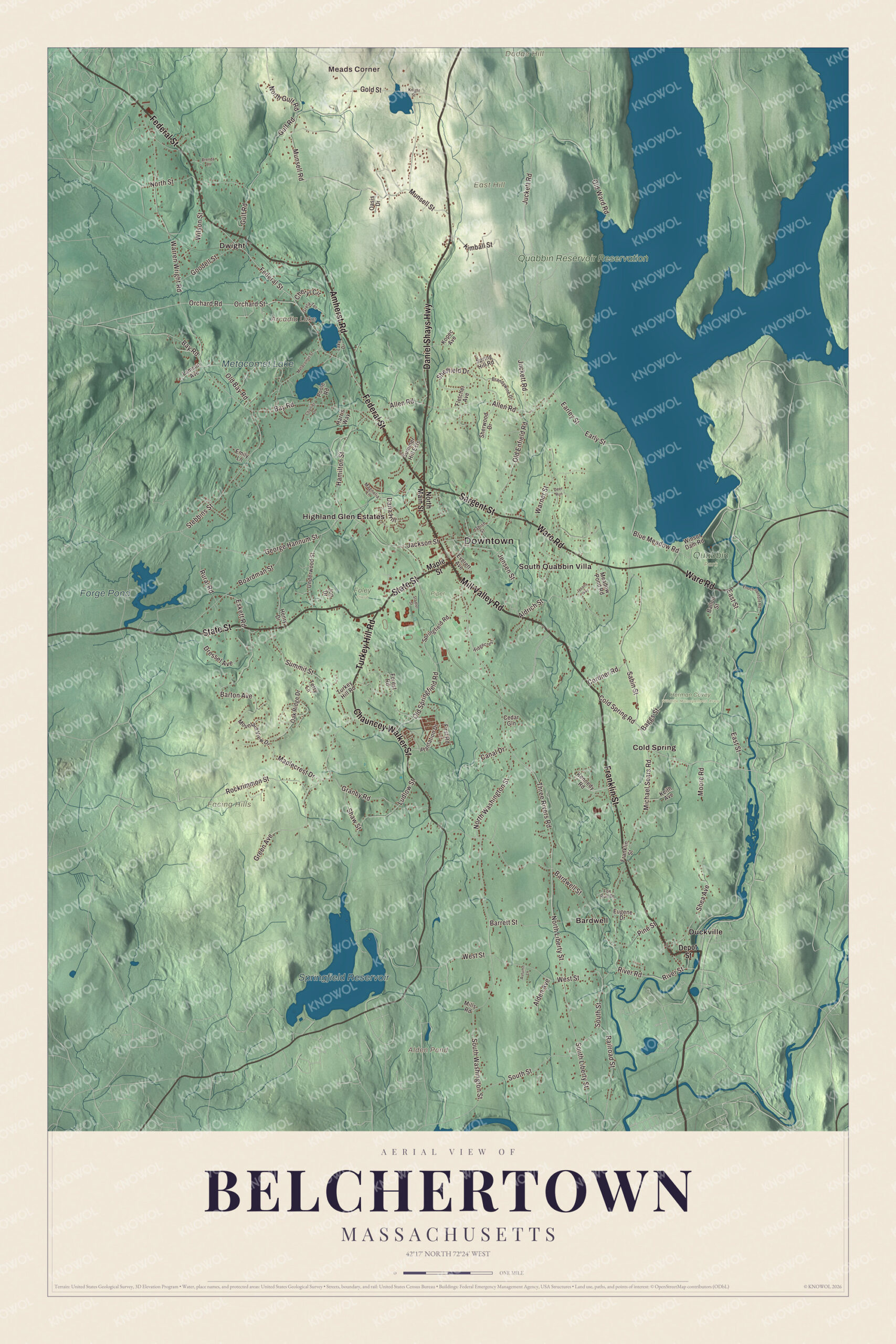
Click to explore a larger preview. The digital watermark does not appear on printed maps.
Names on this map
These names are printed on this map.
Places: Downtown, Meads Corner, Dodge Hill, East Hill, Facing Hills, Alden Pond, Arcadia Lake, Springfield Reservoir, Forge Pond, Metacomet Lake, Foley Field, Herman Covey Wildlife Management Area, Piper Farm, Quabbin Park, Quabbin Reservoir Reservation, Bardwell, Cold Spring, Duckville, Dwight, Highland Glen Estates and South Quabbin Villa.
Streets and roads: Federal Street, Franklin Street, Mill Valley Road, Amherst Road, Daniel Shays Highway, Sargent Street, Ware Road, Chauncey Walker Street, Turkey Hill Road, State Street, North Washington Street, Cold Spring Road.
More street names, A to Z
Alden Avenue, Aldrich Street, Allen Road, Autumn Lane, Baggs Street, Ballou Street, Bardwell Street, Barrett Street, Barton Avenue, Bay Road, Blue Meadow Road, Boardman Street, Brandywine Drive, Brenda Lane, Canal Drive, Cedar Gln, Chartier Drive, Cheryl Circle, Cordner Road, Dana Hill, Deer Run, Depot Street, Dressel Avenue, Earley Street, Early Street, East Street, Emily Lane, Enoch Sanford Road, Eskett Road, Eugene Drive, Everett Avenue, First Road, Fletcher Avenue, Forest Road, Fox Run Drive, George Hannum Street, Gold Street, Goodell Street, Granby Road, Green Avenue, Grela Terrace, Gulf Road, Hamilton Street, Harris Way, Henry Drive, Jabish Street, Jackson Street, Jasons Way, Jensen Street, Jon Drive, Juckett Road, Keith Avenue, Kennedy Road, Kimball Street, Knight Street, Kopec Avenue, Lake Drive, Lamson Avenue, Ludlow Street, Magnolia Lane, Maplecrest Drive, Maple Street, Meadow Pond Road, Metacomet Street, Michael Sears Road, Mills Road, Moore Road, Mountain View Drive, Munsell Road, Munsell Street, North Gulf Road, North Liberty Street, North Main Street, North Street, Oak Ridge Drive, Oasis Drive, Old Bay Road, Old Enfield Road, Old Springfield Road, Old Ward Road, Orchard Road, Orchard Street, Pine Street, Plantation Drive, Poole Road, Railroad Street, Ridgecrest, River Road, River Street, Rockrimmon Street, Rural Road, Sabin Street, Shaw Street, Shea Avenue, Sheffield Drive, Sherwood Drive, South Liberty Street, South Street, South Washington Street, Springfield Road, Spring Hill Road, Stadler Street, Stebbins Street, Summer Hill Ests, Summit Street, Terry Lane, Three Rivers Road, Underwood Street, Warner Street, Warren Wright Road, West Street, Wilson Street, Winsor Dam Road.
See it on a wall
The Belchertown map as a framed print. Swipe for more.


Dwight, Meads Corner and the Quabbin
Dwight, in North Belchertown, began as “Log Town” for its timber. It became Dwight’s Station for an early railroad stationmaster, then “Pansy Park” for the flower gardens that drew hundreds of visitors a year. The village takes in the lake country of Arcadia and Holland and, to the northeast, the hills around Mead’s Corner. Grove dinners were held for years under the old maples by the schoolhouse, across Federal Street from the Dwight Chapel, and in 2024 and 2025 Dwight Day, a festival of music, food and history, was held at the chapel. The town page also lists Bardwell Village, once called Skeetersville and Tylerville, among Belchertown’s historic villages. To the east, in 1816 part of Belchertown went to form the town of Enfield, and in 1938, when Enfield was disincorporated for the Quabbin Reservoir, its northwest corner came back to Belchertown. The Quabbin Spillway follows part of Quabbin Hill Road in Belchertown.
Start at Meads Corner, then follow Federal Street, Franklin Street, Mill Valley Road, Amherst Road, Daniel Shays Highway and Sargent Street out toward Bardwell, Cold Spring, Duckville, Dwight and South Quabbin Villa. Alden Pond, Arcadia Lake, the Springfield Reservoir, Forge Pond, the Quabbin Reservoir Reservation, Dodge Hill and East Hill are all printed on the map.
This Belchertown map makes a fine addition to an office, library or den, and it can help teach children the geography and history of the old Cold Spring. It’s made for people who call Belchertown home, from Dwight to the common, and it shows the town as it looks today. Zoom in on the preview above to explore the details, then click here to get your copy of the Belchertown, Massachusetts map.

Sources
- Belchertown, Massachusetts, Wikipedia
- Belchertown Center Historic District, Wikipedia
- Clapp Memorial Library, Wikipedia
- Stone House Museum, Wikipedia
- Dwight, Massachusetts, Wikipedia
- Josiah Gilbert Holland, Wikipedia
- Elijah Coleman Bridgman, Wikipedia
- Mary F. Scranton, Wikipedia
- Quabbin Reservoir, Wikipedia
- City and Town Incorporation and Settlement Dates, Secretary of the Commonwealth of Massachusetts (archived copy)