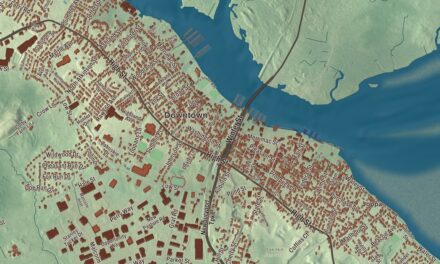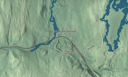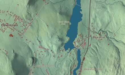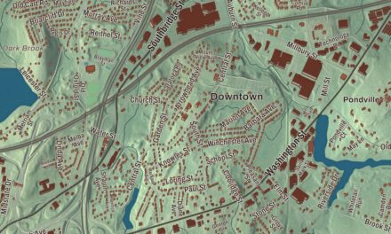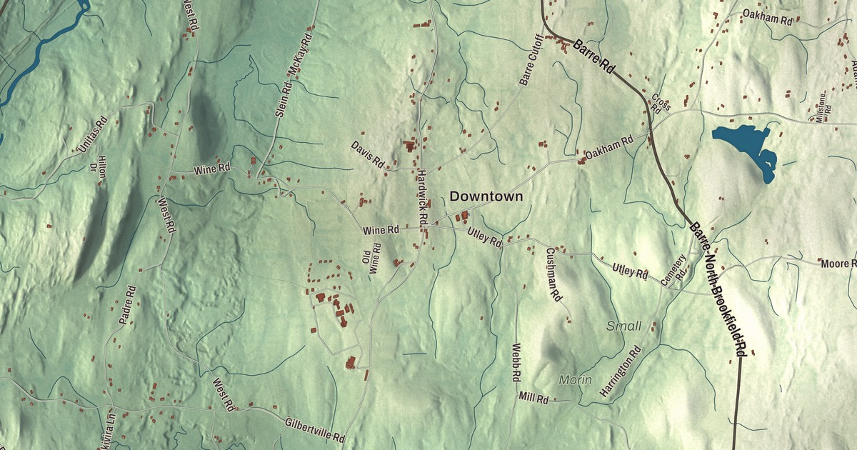
New Braintree had fewer than a thousand people at the last census, and most of the roads printed on its map carry the names of neighboring towns: Barre Road, Hardwick Road, Oakham Road, West Brookfield Road and the Barre-North Brookfield Road, with Utley Road among them. Brooks Pond, Adams Pond, Horse Pond and a cluster of hills are printed between them. Click here to purchase a print of this map for your wall.
New Braintree is in Worcester County.
KNOWOL made this map in 2026 from public survey data and gave it the look of an old atlas. The hills come from United States Geological Survey elevation data, and the roads and the town line come from the Census Bureau. New Braintree covers 20.9 square miles and had 996 people at the 2020 census. Barre lies to the north, Oakham to the east, Spencer to the southeast, West Brookfield and North Brookfield to the south, Ware to the southwest and Hardwick to the west.
Braintree Farms
Native people lived on this land for at least 9,000 years, and at the time of English colonization it was home to Quaboag and Nipmuc people. In 1660 the Massachusetts Bay Colony made a grant for Quaboag Plantation, and in 1669 the town of Braintree, southeast of Boston, voted that each of its households would share in 6,000 acres bought out of it, to be called “Braintree Farms.” King Philip’s War interrupted those plans in 1675, when the land became the site of a Nipmuc stronghold called Menimesit, a place that appears in Mary Rowlandson’s captivity narrative.
The Town of New Braintree’s recorded history, in the Secretary of the Commonwealth’s list, dates European settlement to 1709, when Europeans settled the land again. That list has New Braintree incorporated as a town in 1775, while the town page dates its incorporation as New Braintree to 1751. The town remains part of Worcester County today. Rufus Putnam, who fought in the Revolutionary War and, as an organizer of the Ohio Company of Associates, became known as the “Father of the Northwest Territory,” lived here after the French and Indian War and worked as a millwright from 1761 to 1768, studying geography, mathematics and surveying in his free time.
In the late 1980s the state began building a prison here, and the town, with the radio host Jerry Williams and a group called Conserve Our Small Town, opposed it until Governor William Weld stopped the construction. Since 1992 the grounds, once the Seventh-day Adventist Pioneer Valley Academy, have been home to the Massachusetts State Police Academy.
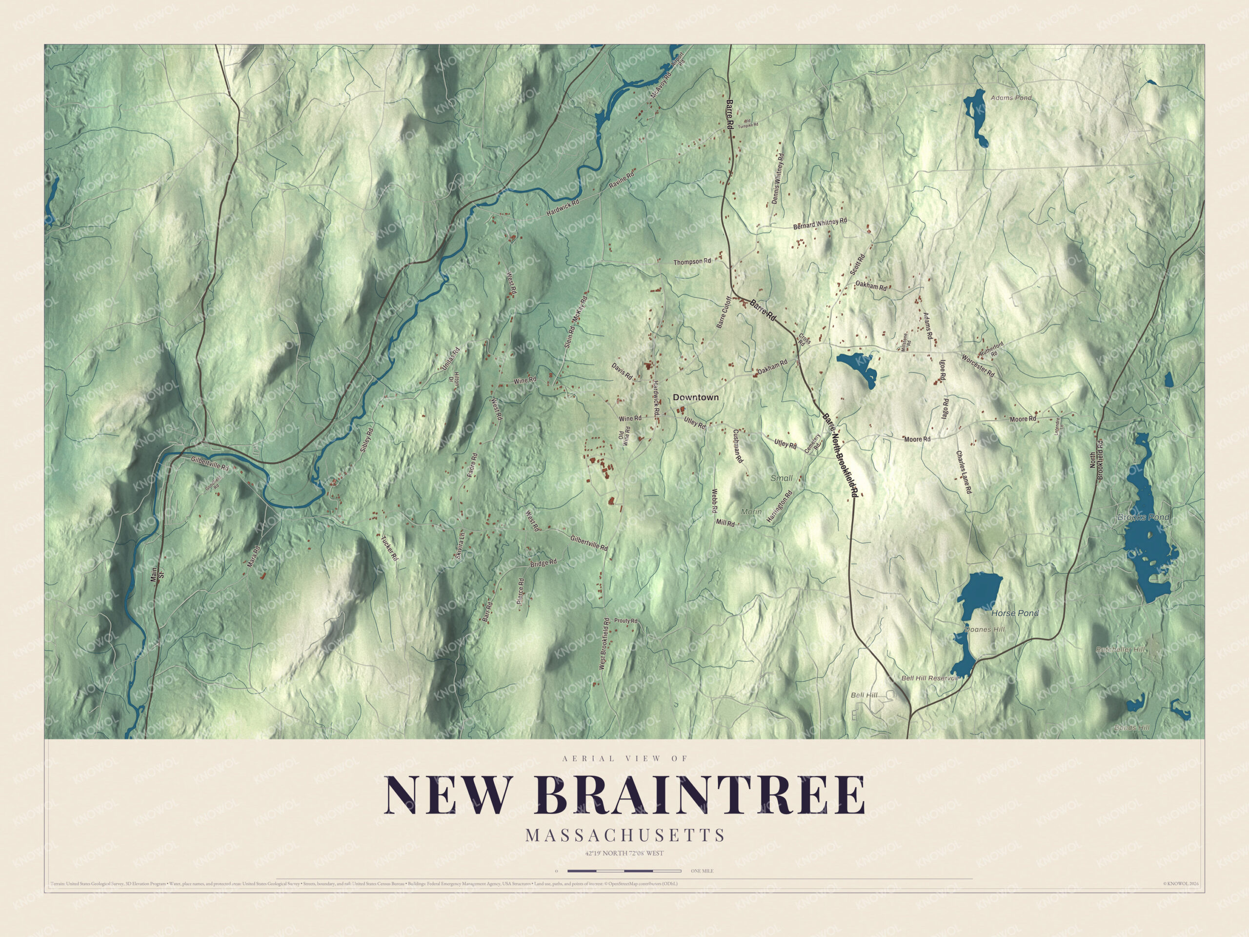
Click to explore a larger preview. The digital watermark does not appear on printed maps.
Names on this map
These names are printed on this map.
Places: Downtown, Batcheller Hill, Bell Hill, Bonds Hill, Doanes Hill, Adams Pond, Bell Hill Reservoir, Brooks Pond, Horse Pond, Morin and Small.
Streets and roads: Barre-North Brookfield Road, Barre Road, Hardwick Road, Oakham Road, Utley Road, West Brookfield Road, Mara Road, Gilbertville Road, West Road, Worcester Road, Moore Road, Unitas Road.
More street names, A to Z
Adams Road, Airport Road, Barre Cutoff, Barr Road, Bernard Whitney Road, Bridge Road, Cemetery Road, Charles Lane Road, Cross Road, Cushman Road, Davis Road, Dennis Whitney Road, Goodfield Road, Harrington Road, Hilton Drive, Iago Road, Igoe Road, Letendre Lane, Main Street, McAvoy Road, McKay Road, Mill Road, Millstone Road, North Brookfield Road, Old Turnpike Road, Old Wine Road, Padre Road, Pierce Road, Prouty Road, Ravine Road, Rutherford Road, Scott Road, Sibley Road, Skivira Lane, Slein Road, Thompson Road, Tucker Road, Webb Road, Wine Road.
See it on a wall
The New Braintree map as a framed print. Swipe for more.


Around the map
Start with Barre-North Brookfield Road, then follow Barre Road, Hardwick Road, Oakham Road, Utley Road and West Brookfield Road across town. Adams Pond, Brooks Pond, Horse Pond, Batcheller Hill, Bell Hill, Bonds Hill and Bell Hill Reservoir are all labeled on the map, and every one of those names is printed directly on the artwork. Brooks Pond, bordered by New Braintree, North Brookfield, Oakham and Spencer, is privately owned and forms the headwaters of the Five Mile River; it was dammed close to its present size in 1848 and is up to 26 feet deep in places.
The New Braintree map makes a fine addition to an office, library or den, and it can help teach children the geography and history of a small Worcester County town first planned as Braintree Farms. It’s made for people who call New Braintree home, from Brooks Pond to Bell Hill, and it shows the town as it looks today. Zoom in on the preview above to explore the details, then click here to get your copy of the New Braintree, Massachusetts map.

Sources