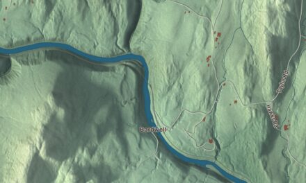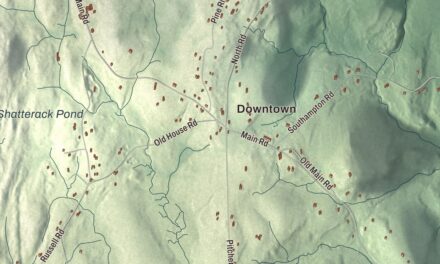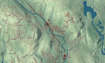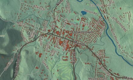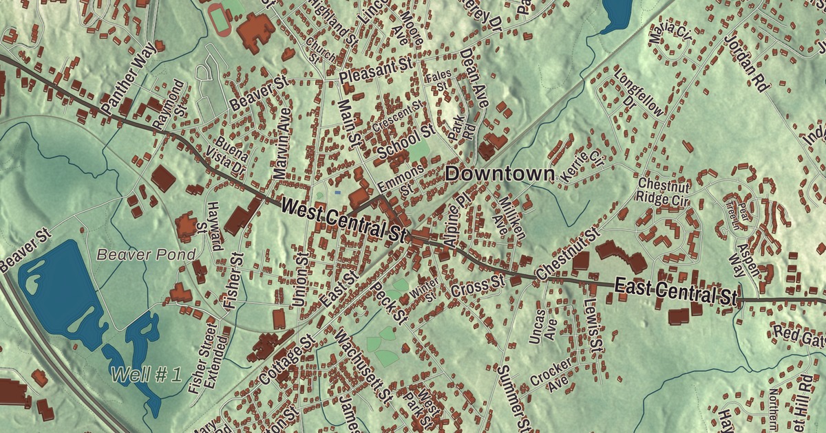
Franklin asked Benjamin Franklin for a church bell and got a shelf of books instead, and the town has been lending them out ever since. This map prints Main Street, West Central Street, East Central Street, Oak Street, Cottage Street and Grove Street, with Uncas Pond, Beaver Pond, Populatic Pond, Kingsbury Pond, the Town Forest, the Charles River Reservoir and Bald Hill. Click here to purchase a print of this map for your wall.
Franklin is in Norfolk County.
KNOWOL made this map in 2026 from public survey data and gave it the look of an old atlas. The relief comes from United States Geological Survey elevation data, and the roads and the town line come from the Census Bureau. Franklin covers 27.0 square miles, 26.7 of them land, and much of it lies in the Charles River watershed, with Mine, Shepard’s, Miller, Uncas, Dix and Miscoe brooks running through it. Franklin has a city form of government but kept “The Town of” in its official name, and it had 36,745 people as of 2022.
Exeter that became Franklin
The Town of Franklin’s recorded history, in the Secretary of the Commonwealth’s list, dates European settlement to 1660. The town was carved out of the western part of Wrentham, and Franklin was incorporated as a town on March 2, 1778, during the Revolution. Its name was meant to be Exeter, but the townspeople chose to honor Benjamin Franklin instead, making it the first municipality in the United States to carry his name. The town remains part of Norfolk County today.
The town hoped Franklin would send a bell for its church steeple. He sent 116 books instead, among them the works of John Locke. On November 20, 1790, Franklin’s town meeting voted to lend the books free to everyone in town, and the library’s page calls it the first and oldest public lending library in continuous existence in the United States. Today the Franklin Public Library stands at 118 Main Street, in the Ray Memorial Building that the Ray family gave in 1904, right next to Dean College.
Horace Mann and a one-room school
Horace Mann, the reformer known as the Father of American Education, was born in Franklin in 1796. Growing up, he never had more than six weeks of school in a year, but he made use of the town library, and he went on to Brown University and later served as Secretary of the Massachusetts State Board of Education and as a congressman. The little Red Brick School, one of the oldest active one-room schools in the United States, stands at the corner of Maple Street and what was then Main Street, now Lincoln Street. Its red bricks were hauled from Boston by oxen, and it was built in 1833 on the foundation of an older wooden schoolhouse. Townspeople saved it twice, during the Depression and again in 1959, when they paid to fix it up by selling ceramic tiles showing the school. After 175 years of use it was closed as a town school in 2008, and the town says it was the longest continuously running one-room brick schoolhouse in the country, a record others have disputed.
Dean College began in 1865 as Dean Academy, founded by Oliver Dean, who gave about nine acres of land, and its first class met on October 1, 1866. Dean Hall, finished in 1868, burned in 1872 and was rebuilt by 1874. St. Mary’s Catholic Church, in central Franklin, is the largest Catholic parish in the Archdiocese of Boston, with about 15,000 members.
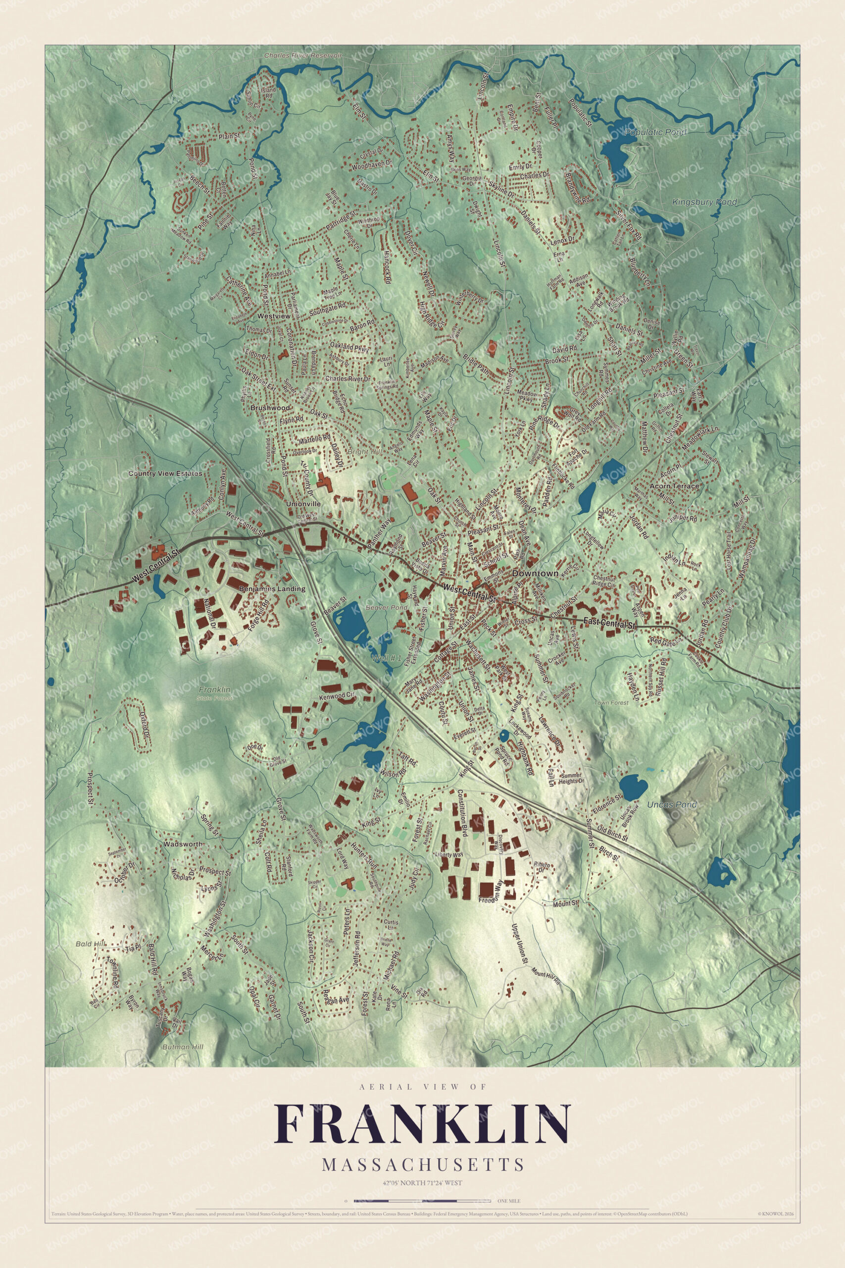
Click to explore a larger preview. The digital watermark does not appear on printed maps.
Names on this map
These names are printed on this map.
Places: Downtown, Wadsworth, Bald Hill, Bright Hill, Butman Hill, Beaver Pond, Charles River Reservoir, Populatic Pond, Uncas Pond, Kingsbury Pond, Franklin State Forest, Town Forest, Well # 1, Acorn Terrace, Benjamins Landing, Brushwood, Country View Estates, Unionville and Westview.
Streets and roads: West Central Street, East Central Street, Oak Street, Cottage Street, Main Street, Grove Street, Lincoln Street, Miller Street, Brandywine Road, High Ridge Circle, Fisher Street, Pleasant Street.
More street names, A to Z
Acorn Place, Addison Avenue, Alpine Place, Amys Way, Angelo Way, Annabel Lane, Anthony Road, Ashbury Drive, Aspen Way, Bacon Street, Bald Hill Road, Baron Road, Beatrice Road, Beaver Street, Beech Street, Bell Circle, Bens Way, Bent Street, Besso Street, Betten Court, Birch Street, Blueberry Lane, Blue Jay Street, Bogan Way, Brenda Lane, Bridle Path, Brielle Way, Brook Street, Buena Vista Drive, Byron Way, Catherine Avenue, Charles Drive, Charles River Drive, Cherie Lane, Chestnut Ridge Circle, Chestnut Street, Christine Avenue, Churchill Road, Church Street, Cobblestone Drive, Collela Drive, Colt Road, Concetta Way, Conlyn Avenue, Constitution Boulevard, Cooks Farm Road, Cooper Drive, Coronation Drive, Cortland Drive, Cotton Tail Lane, Country Club Drive, Country Way, Coutu Street, Crescent Street, Crocker Avenue, Crossfield Road, Cross Street, Crystal Drive, Curtis Lane, Dailey Drive, Damico Drive, Daniels Street, Dartmouth Road, David Road, Dean Avenue, Delta Drive, Denise Drive, Discovery Way, Dix Road, Doe Drive, Dover Circle, Dwight Street, Earl's Way, East Street, Echo Bridge Road, Edmunds Way, Eldon Drive, Elizabeth Avenue, Elm Street, Emilio Drive, Emily Drive, Emmons Street, Empire Drive, Eric Drive, Erna Lane, Everett Street, Fales Street, Fall Lane, Fannie Way, Fisher Street Extended, Flintlocke Road, Florence Street, Flynn Road, Forest Street, Forge Hill Road, Fort Apache Drive, Franklin Springs Road, Freedom Way, Fuller Place, Garnet Drive, Georgia Drive, Grant Circle, Green Street, Grey Wolf Road, Griffin Road, Hancock Road, Hayden Lane, Hayward Street, Highbank Road, Highland Street, Hoffman Farm Road, Hunters Run, Indian Lane, Innsbruck Way, Island Road, Ivy Lane, Jackson Circle, Jade Street, James Street, Jefferson Road, Jenna Lane, Jordan Road, Joseph Circle, Joval Court, Judy Circle, Juniper Road, Kate Drive, Kayla Drive, Kenwood Circle, Kerrie Circle, Kimberlee Avenue, King Street, Lauri Lane, Lawrence Drive, Lena Circle, Lenox Drive, Lewis Street, Liberty Way, Lily Way, Lisa Lane, Lockewood Drive, Longfellow Drive, Longhill Road, Longwalk Road, Lord Way, Lost Horse Trail, Lyons Street, Madison Avenue, Maple Street, Maple Tree Lane, Margarets Cv, Maria Circle, Martello Road, Marthas Way, Marvin Avenue, Mary Jane Road, Mastro Drive, Matthew Drive, Meadowlark Lane, Meadow Parkway, Mercer Lane, Michael Road, Milliken Avenue, Mill Street, Monterey Drive, Moore Avenue, Mount Hill Road, Mount Street, National Drive, Newell Drive, Nicholas Drive, Nina Lane, Noanet Brook Lane, Northern Spy Road, Oakland Parkway, Oak Street Extension, October Drive, Old Birch Street, Old Farm Road, Old Grove Street, Old West Central Street, Opal Circle, Overlook Drive, Oxford Drive, Padden Road, Palomino Drive, Panther Way, Park Road, Parliament Drive, Partridge Street, Paula Lane, Pearly Lane, Pear Tree Lane, Peck Street, Penny Lane, Peters Lane, Phyllis Lane, Pine Ridge Drive, Pine Street, Plain Street, Pond Street, Populatic Street, Prospect Street, Pyne Circle, Rachael Circle, Raymond Street, Reagan Avenue, Red Gate Lane, Ribero Drive, Rizoli Circle, Rock Lane, Rona Lane, Russet Hill Road, Sahlin Circle, School Street, September Drive, Shady Lane, Sheila Lane, Short Street, Silver Fox Road, Skipper Circle, Skyline Drive, Southgate Road, Southpine Road, South Street, Spring Street, Spruce Pond Road, Squibnocket Road, Stanford Road, Stanwood Drive, Stewart Street, Summer Heights Drive, Summer Street, Sunken Meadow Road, Sunset Road, Surrey Way, Susans Way, Symmes Road, Taft Road, Thomas Drive, Tia Place, Townline Road, Trevor Road, Tri-County Drive, Tuscany Drive, Uncas Avenue, Uncas Brook Row, Union Street, Upper Union Street, Vail Drive, Vine Street, Wachusett Street, Wadsworth Farm Road, Wampanoag Drive, Washington Street, West Park Street, Wilson Road, Winding Brook Road, Winterberry Drive, Winter Street, Winthrop Drive, Woodhaven Drive, Wyllie Road, York Lane.
See it on a wall
The Franklin map as a framed print. Swipe for more.


Brooks, forests and a sachem’s name
Much of the marsh along Mine Brook is permanently protected by the Army Corps of Engineers’ Natural Valley Storage Project, and Ernest DelCarte left the land for the DelCarte Recreation and Conservation Area to the town, which promised to keep it open. Franklin State Forest and the Franklin Town Forest are among the town’s larger woods. Uncas Pond carries the name of Uncas, the Mohegan sachem of the 1600s, whose page lists it among the places that remember him.
Around the map
Start with Wadsworth, then follow West Central Street, East Central Street, Oak Street, Cottage Street, Main Street and Grove Street across town. Look outward toward Acorn Terrace, Benjamins Landing, Brushwood, Unionville and Westview. Beaver Pond, Populatic Pond, Uncas Pond, Kingsbury Pond, the Town Forest, Bald Hill, Bright Hill, Butman Hill and the Charles River Reservoir are all printed on the map.
The Franklin map makes a fine addition to an office, library or den, and it can help teach children the geography and history of the town that lent out Benjamin Franklin’s books. It’s made for people who call Franklin home, from Wadsworth to Unionville, and it shows the town as it looks today. Zoom in on the preview above to explore the details, then click here to get your copy of the Franklin, Massachusetts map.

Sources
- Franklin, Massachusetts, Wikipedia
- Franklin Public Library (Massachusetts), Wikipedia
- Horace Mann, Wikipedia
- Red Brick School (Massachusetts), Wikipedia
- Dean College, Wikipedia
- Uncas, Wikipedia
- City and Town Incorporation and Settlement Dates, Secretary of the Commonwealth of Massachusetts (archived copy)