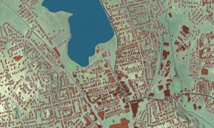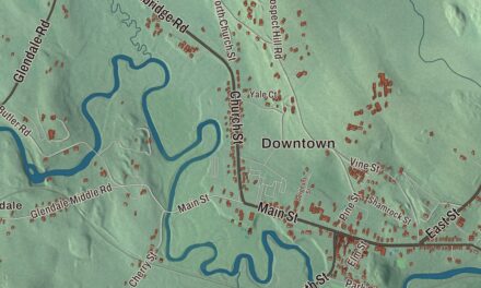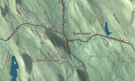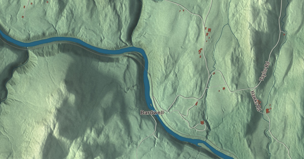
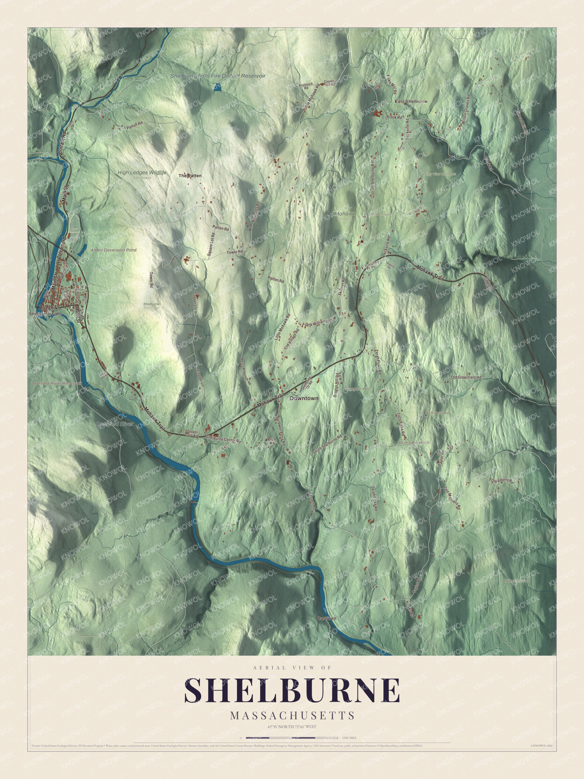
Shelburne has two sides, farms among low hills and the mill village of Shelburne Falls on the Deerfield River, and this map follows the Mohawk Trail, Colrain Road, Bardwell Ferry Road, Shelburne Center Road, Main Street and Bridge Street between them, from Bardwell to East Shelburne. Click here to purchase a print of this map for your wall.
Shelburne is in Franklin County.
KNOWOL made this map in 2026 from public survey data and gave it the character of an old atlas. United States Geological Survey elevation data shapes the hills and the river valley, and the roads and the town line come from the Census Bureau. Shelburne covers 23.4 square miles, with Colrain to the north, Greenfield to the east, Deerfield to the southeast, Conway to the south, Buckland to the west and a short stretch of Charlemont to the northwest. The Deerfield River runs along its southern and western edge, and the town center is about 5 miles west of Greenfield. Shelburne had 1,884 people at the 2020 census.
Deerfield Northwest
The Town of Shelburne’s recorded history, in the Secretary of the Commonwealth’s list, dates European settlement to 1756, when the place was part of Deerfield and known as Deerfield Northwest. It became the district of Shelburne in 1768, named for William Petty, 2nd Earl of Shelburne, an Irish-born British politician who later served as prime minister. Shelburne was incorporated as a town in 1775. The town page says its character has always been two-sided, with farmland among the low hills in the main body of town and a milling community around Shelburne Falls.
Shelburne Falls was once a cataract called Salmon Falls, an important fishing place for several Native nations, among them the Mohawk, the Penobscot and the Pocumtuck. The village of Shelburne Falls lies partly in Shelburne and partly in Buckland, on both sides of the river. In 1834 Silas Lamson patented a curved handle for scythes, and three years later he started a knife company there with two of his sons and Abel Goodnow. By the Civil War, Lamson & Goodnow had more than 500 workers and was one of the largest cutlery companies in the country, and the firm still has a store in the village. The Glacial Potholes, a waterfall on the Deerfield with many potholes, are in the village too.
Click to explore a larger preview. The digital watermark does not appear on printed maps.
Names on this map
These names are printed on this map.
Places: Downtown, Bardwell, East Shelburne, Shelburne Falls, Arthurs Seat, Bellows Hill, Brimstone Hill, Dragon Hill, Albert Davenport Pond, Deerfield River Reservoir, Shelburne Falls Fire District Reservoir, Deerfield River, Apex Orchards, Arms Cemetery, High Ledges Wildlife Sanctuary, Mohawk Orchard, Shelburne State Forest, Valley View Orchards and The Patten.
Streets and roads: Colrain Road, Mohawk Trail, Bridge Street, Main Street, Bardwell Ferry Road, Shelburne Center Road, Little Mohawk Road, Smead Hill Road, Patten Road, Zerah Fiske Road, South Shelburne Road, Taylor Road.
More street names, A to Z
Allen Road, Bassett Road, Brook Road, Carpenter Road, Cemetery Road, Colrain Shelburne Road, Coombs Hill Road, Cooper Lane, Cooper Lane Avenue, Dragon Hill Road, Fiske Mill Road, Frankton Road, Frank Williams Road, Guy Manners Road, Hawks Road, High Street, Lucy Fiske Road, Maple Street, Mechanic Street, Mercy Anderson Road, Murray Place, Old Albany Road, Old Greenfield Road, Old Village Road, Peckville Road, Pinnacle Lane, Prolovich Road, Reynolds Road, Roberts Road, Shelburne Ctr Road, Shelburne Summit Road, Skinner Road, South Maple Street, Square Lot Road, Tower Road, Water Street, Wilcox Hollow, Wilson Graves Road.
See it on a wall
The Shelburne map as a framed print. Swipe for more.


Around the map
Start with Bardwell. Follow Colrain Road, Mohawk Trail, Bridge Street, Main Street, Bardwell Ferry Road and Shelburne Center Road across town. Then look outward toward East Shelburne, Shelburne Falls and The Patten. Albert Davenport Pond, Shelburne Falls Fire District Reservoir, Deerfield River, Bellows Hill, Brimstone Hill, Dragon Hill and Deerfield River Reservoir are all printed on the map. The Mohawk Trail, Route 2, began as a Native American path and runs along the foot of Massaemett Mountain, the highest point in town, just east of Shelburne Falls. The mountain is named for a Pocumtuck leader, and its summit carries a 60-foot stone fire tower built in 1909 from stone quarried on the mountain, with views to Mount Greylock and Mount Monadnock. In the village, the Bridge of Flowers crosses the Deerfield River between Shelburne and Buckland. It was built in 1908 as a concrete trolley bridge, and after the trolley company went bankrupt in 1927, Antoinette Burnham had the idea of turning it into a garden; the Shelburne Woman’s Club took it on, and the bridge became a garden. Nearby, the Iron Bridge, a truss bridge of 1890, still carries cars. In 2007 Shelburne and Buckland signed an agreement with Mutianyu, a village in China, making them the first known “sister villages.”
The Shelburne map makes a fine addition to an office, library or den, and it can help teach children the geography and history of a farm town with a mill village on the Deerfield. It’s made for people who call Shelburne home, from Bardwell to Shelburne Falls, and it shows the town as it looks today. Zoom in on the preview above to explore the details, then click here to get your copy of the Shelburne, Massachusetts map.

Sources