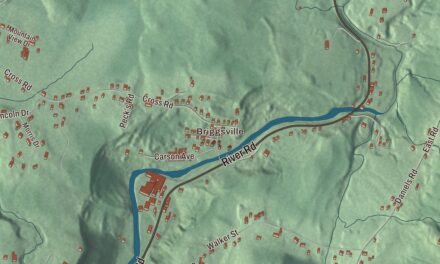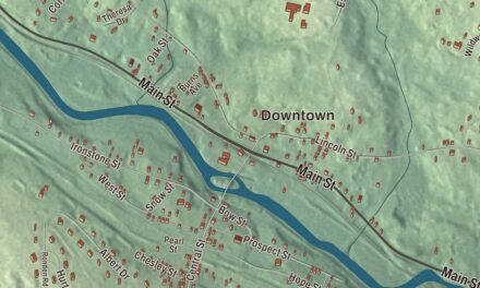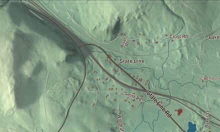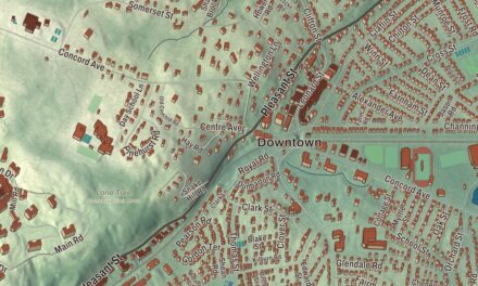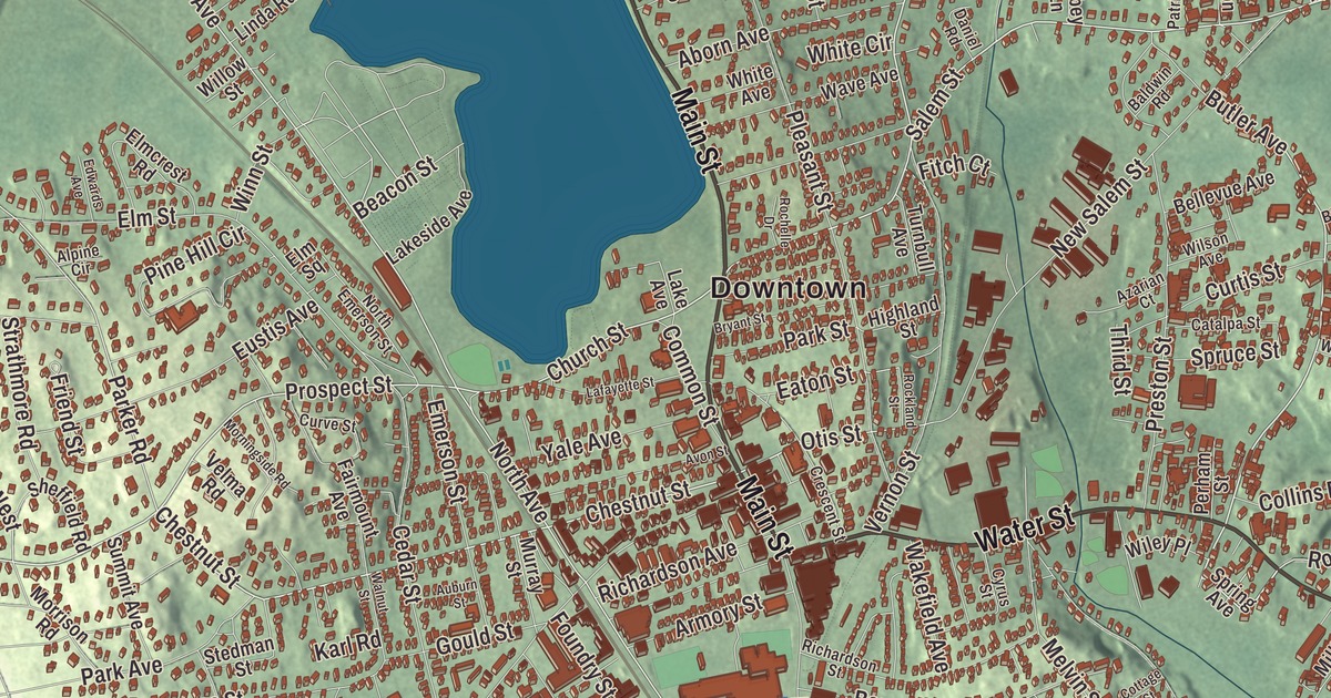
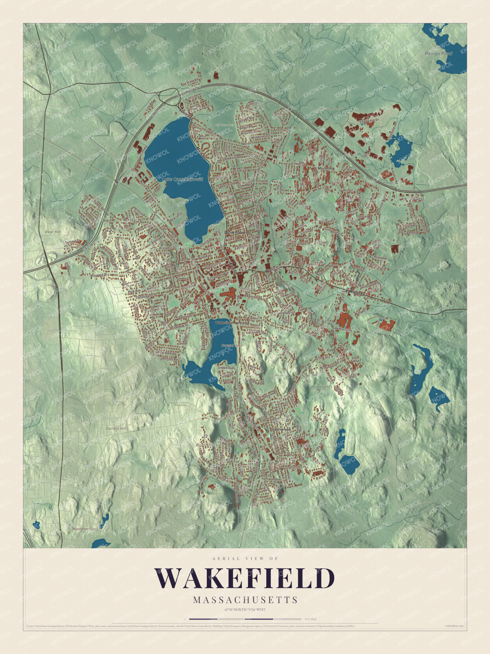
This aerial map of Wakefield, Massachusetts was created in 2026 using real geographic data to bring the town’s streets, buildings, neighborhoods, ponds and waterways, parks, mountains and ridgelines, and terrain together in one highly detailed view. Look closer and you can pick out the familiar places that make Wakefield feel like home. Start with the street you know, then see how it connects to the rest of the Wakefield you call home. Click here to purchase a print of this map for your wall.
Explore an aerial view of Wakefield, Massachusetts
Start with Downtown and Greenwood. Follow Main Street, Water Street, Lowell Street, Salem Street, Vernon Street, and Prospect Street across town. Then look outward toward Montrose and Wakefield Junction.
Buckman Pond, Crystal Lake, Lake Quannapowitt, Pillings Pond, Reedy Meadow, Bear Hill, Boyntons Hill, and Candle Hill are all labeled on the map. Every one of those names is printed directly on the artwork, giving you plenty to explore.
The Town of Wakefield’s recorded history dates European settlement to 1639. Wakefield was incorporated as a town in 1812. The town remains part of Middlesex County today. Click the image below to see the area as it looked in 2026.
Take a closer look at the Wakefield map
Click to explore a larger preview. The digital watermark does not appear on printed maps.
Names on this map
These names are printed on this map.
Places: Downtown, Bear Hill, Boyntons Hill, Candle Hill, Carters Hill, Buckman Pond, Crystal Lake, Lake Quannapowitt, Pillings Pond, J.J. Round Park, Old Town Wells, Reedy Meadow, Wakefield Town Forest, Greenwood, Montrose, Wakefield Junction, Wharton Park, Coolidge Park and Warren Park.
Streets and roads: Main Street, Water Street, Lowell Street, Salem Street, Vernon Street, Prospect Street, Chestnut Street, Butler Avenue, Church Street, North Avenue, Parker Road, Rosemary Avenue.
More street names, A to Z
Aborn Avenue, Acorn Avenue, Adele Circle, Albion Street, Aldrich Road, Alpine Circle, Alyssa Drive, Andrews Road, Armory Street, Arthur Road, Arundel Avenue, Atwood Avenue, Auburn Street, Audubon Road, Avon Street, Azarian Court, Baldwin Road, Ballister Street, Bartley Street, Bay State Road, Beacon Street, Beebe Lane, Beechtree Circle, Bellevue Avenue, Belmont Road, Bennett Street, Biggs Court, Brandt Circle, Brewster Road, Briarwood Lane, Broadway Street, Brook Street, Bryant Street, Butternut Road, Byron Street, Castle Claire Circle, Catalpa Street, Cedar Street, Central Street, Chapman Road, Charles Street, Collins Road, Common Street, Converse Street, Cordis Street, Cottage Street, Court Street, Crescent Street, Cross Street, Crystal Street, Curtis Street, Curve Street, Cyrus Street, Daniel Road, Davey Lane, Dexters Lane, Doyle Avenue, Druid Hill Avenue, Drury Lane, Eastern Avenue, Eaton Street, Edgewater Drive, Edgewater Place, Edwards Avenue, Elk Spring Drive, Elmcrest Road, Elm Square, Elm Street, Emerson Street, Essex Street, Eunice Circle, Eustis Avenue, Everett Street, Fairmount Avenue, Farm Street, Fellsmere Avenue, Fell Street, Fitch Court, Forest Road, Forest Street, Forrester Road, Fosters Lane, Foundry Street, Fox Road, Francis Avenue, Franklin Street, Frank Street, Friend Street, Garden Lane, Gates Lane, Gould Street, Grafton Street, Grandview Avenue, Green Street, Greenwood Avenue, Greenwood Street, Gregory Road, Grove Street, Gumwood Lane, Hancock Road, Harrison Avenue, Hart's Hill Road, Hart Street, Hawthorne Street, Hemlock Road, Herbert Street, Heron Pond, Hickory Hill Road, Highland Street, High Street, Hillcrest Road, Hillis Avenue, Holland Road, Hopkins Street, Houston Street, Howard Street, Humphrey Street, Indian Lane, Jackson Lane, Jennifer Road, Jordan Avenue, Juniper Avenue, Karen Road, Karl Road, Kathy Lane, Keeling Road, Kendrick Road, King Street, Lafayette Street, Lake Avenue, Lakeside Avenue, Lake Street, Lakeview Avenue, Lassell Street, Laurel Street, Ledgewood Road, Lilah Circle, Linda Road, Linden Avenue, Linden Street, Line Road, Lovis Avenue, Ludwig Street, Mackenzie Lane, Madison Avenue, Mansion Road, Meadow Lane, Melrose Avenue, Melrose Terrace, Melvin Street, Meriam Street, Michael Road, Millbrook Lane, Minot Street, Mitchell Lane, Molly Circle, Montclare Avenue, Montrose Avenue, Morel Circle, Morgan Avenue, Morningside Road, Morrison Road, Morrison Road West, Muriel Avenue, Murray Street, Myrtle Avenue, Myrtle Terrace, Nahant Street, New Salem Street, North Emerson Street, Oak Street, Old Colony Drive, Old Nahant Road, Orchard Avenue, Orsini Drive, Otis Street, Outlook Road, Paon Boulevard, Park Avenue, Parker Circle, Park Street, Partridge Lane, Patriot Circle, Penfield Circle, Perham Street, Pheasantwood Drive, Pierce Avenue, Pine Hill Circle, Pine Street, Pleasant Street, Plymouth Road, Preston Street, Putnam Avenue, Quannapowitt Parkway, Raven Road, Renee Drive, Renwick Road, Reynolds Road, Richardson Avenue, Richardson Street, Robert Street, Robin Road, Rochelle Drive, Rockland Street, Roosevelt Road, Rugato Way, Salisbury Road, Scott Lane, Sesame Street, Shady Avenue, Sheffield Road, Sherman Road, Spring Avenue, Spring Street, Spruce Street, Stedman Street, Stone Way, Stoney Hill Lane, Strathmore Road, Summer Avenue, Summer Street, Summit Avenue, Summit Drive, Sunset Drive, Sweetser Street, Sycamore Road, Sylvan Avenue, Tarrant Lane, Teal Road, Terrace Court, Third Street, Thistledale Road, Tobey Lane, Traverse Street, Turnbull Avenue, Upland Road, Vale Road, Vale View Road, Valley Street, Velma Road, Wakefield Avenue, Walden Road, Walnut Street, Walter Avenue, Walton Lane, Walton Street, Ware Street, Warren Avenue, Wave Avenue, West Park Drive, West Street, White Avenue, White Circle, Whittier Road, Wicker Lane, Wiley Place, Wiley Street, William Street, Willow Street, Wilson Avenue, Wilson Road, Winnisimette Avenue, Winn Street, Winship Drive, Woodcrest Drive, Woodland Road, Yale Avenue.
We designed the artwork at KNOWOL using Wakefield’s real streets, buildings, neighborhoods, ponds and waterways, parks, mountains and ridgelines, and terrain, the town boundary, and the way buildings spread across the town. Then we chose the color, relief, lettering, and layout that make the map look great on the wall.
This beautifully detailed map of Wakefield makes an attractive addition to your office, library, or den and can even be used to teach children the geography and history of the area. When you’re done exploring, click here to get your copy of the Wakefield, Massachusetts map.

We made a map for every town and city in Massachusetts. Explore the complete Massachusetts map collection and find your town.