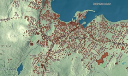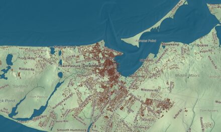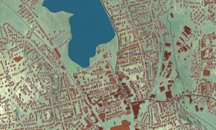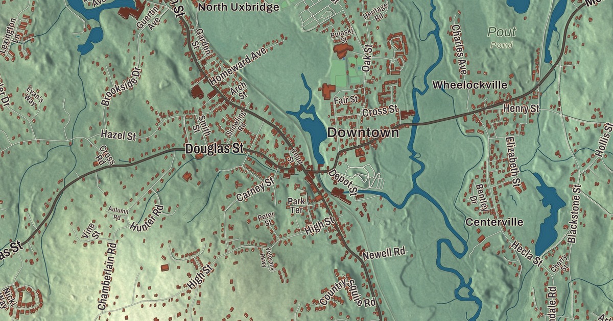
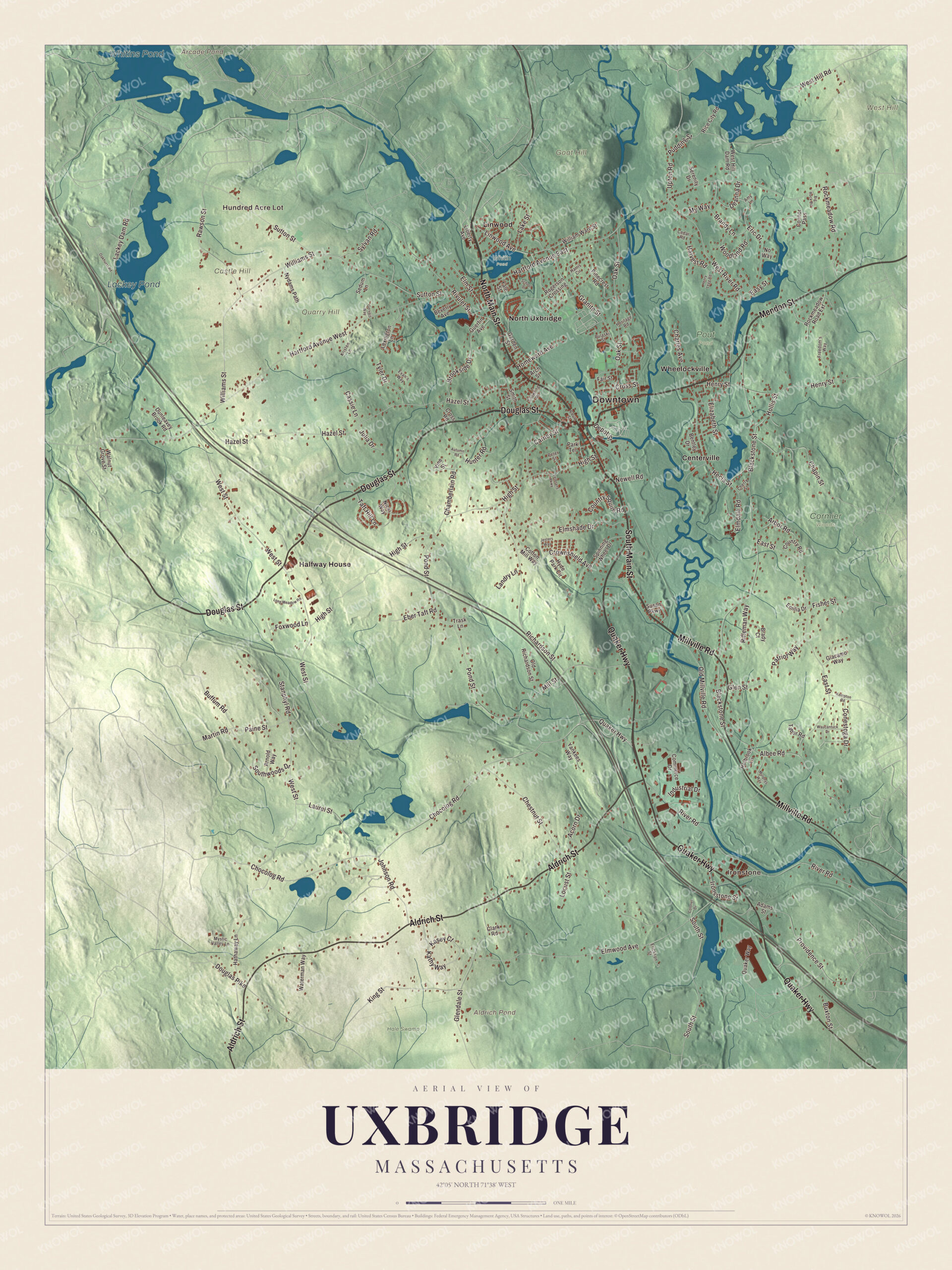
This aerial map of Uxbridge, Massachusetts was created in 2026 using real geographic data to bring the town’s streets, buildings, neighborhoods, ponds and waterways, mountains and ridgelines, and terrain together in one highly detailed view. Look closer and you can pick out the familiar places that make Uxbridge feel like home. Start with the street you know, then see how it connects to the rest of the Uxbridge you call home. Click here to purchase a print of this map for your wall.
Explore an aerial view of Uxbridge, Massachusetts
Start with Downtown and Hundred Acre Lot. Follow North Main Street, South Main Street, Mendon Street, Quaker Highway, Millville Road, and Aldrich Street across town. Then look outward toward Ironstone, Centerville, Halfway House, Linwood, and North Uxbridge.
Arcade Pond, Whitins Pond, Lackey Pond, Castle Hill, Goat Hill, Quarry Hill, and Aldrich Pond are all labeled on the map. Every one of those names is printed directly on the artwork, giving you plenty to explore.
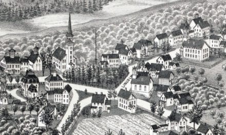
The Town of Uxbridge’s recorded history dates European settlement to 1662. Uxbridge was incorporated as a town in 1727. The town remains part of Worcester County today. Click the image below to see the area as it looked in 2026.
Take a closer look at the Uxbridge map
Click to explore a larger preview. The digital watermark does not appear on printed maps.
Names on this map
These names are printed on this map.
Places: Downtown, Hundred Acre Lot, Ironstone, Castle Hill, Goat Hill, Quarry Hill, West Hill, Aldrich Pond, Arcade Pond, Whitins Pond, Lackey Pond, Cormier Woods, Hale Swamp, Pout Pond, Whitin Pond, Centerville, Halfway House, Linwood, North Uxbridge and Wheelockville.
Streets and roads: North Main Street, South Main Street, Mendon Street, Quaker Highway, Millville Road, Aldrich Street, Douglas Street, South Street, Martin Road, West River Road, Linwood Avenue, Chocolog Road.
More street names, A to Z
Acorn Drive, Adams Street, Albee Road, Amy Lane, Arbor Road, Arch Street, Arnold Way, Autumn Road, Bentley Drive, Beverly Avenue, Big Rock Road, Blackstone Street, Brady Court, Brandy Lane, Brookside Drive, Buffum Road, Buxton Street, Carney Street, Cassie Lane, Cedar Road, Chamberlain Road, Chapin Street, Charles Avenue, Cherry Street, Chestnut Street, Clark Road, Colonel Drive, Commerce Drive, Conestoga Drive, Connor Pass, Cotton Mill Way, Country Road, Country Squire Road, Court Street, Cross Road, Cross Street, Crownshield Avenue, Deanna Drive, Depot Street, Douglas Pike, Dunleavey Brook Road, East Street, Easy Street, Eber Taft Road, Elizabeth Street, Elmdale Road, Elmshade Drive, Elm Street, Elmwood Avenue, Emilia Drive, Eric Drive, Erickson Street, Evan's Way, Fair Street, Fisher Street, Foxwood Lane, Freedom's Way, Garden Street, Gervais Way, Giacamo Way, Glendale Street, Glen Street, Granite Street, Guertin Avenue, Harris Circle, Hartford Avenue East, Hartford Avenue West, Harvest Road, Hathaway Lane, Hazel Street, Hecla Street, Henry Legg Road, Henry Street, Heritage Road, High Street, Holbrook Lane, Hollis Street, Homeward Avenue, Hunter Road, Hyde Park Circle, Industrial Drive, Ironsstone Street, Jesters Way, Johnson Road, Julia Drive, Kasey Court, Kathy Way, Kempton Road, King Street, Kristen Lane, Lackey Dam Road, Lake Street, Landry Lane, Laurel Street, Lexington Lane, Liberty Avenue, Locust Street, Long Meadow Road, Mill Street, Murphys Way, Mystic Valley Lane, My Way, Newell Road, Nicki Way, No Way, Nydams Path, Oakhurst Road, Oak Street, Old Millville Road, Old Richardson Street, Paine Street, Park Terrace, Patriot Way, Peter Street, Pinecrest Road, Pond Street, Providence Street, Pudding Street, Pulaski Street, Quaker Way, Rawson Street, Rice City Road, Richardson Street, Rifleman Way, River Road, Rivulet Street, Rockmeadow Road, Rockmeadow Road Extension, Rogerson Crossing, School Street, Sedum Lane, Serenity Drive, Smith Street, Snowling Road, Southwoods Drive, Spinning Wheel Drive, Stanphyl Road, Susan Parkway, Sutton Street, Sylvan Road, Tabor Road, Taft Hill Lane, Trask Lane, Tyler Drive, Upton Road, Veterans Parkway, Vine Street, Walnut Grove Street, Waterman Way, Waucantuck Drive, West Hill Dam Road, West Hill Road, West Street, Williams Street, William Ward Street, Woodland Road, Yale Street, Yankees Way.
We designed the artwork at KNOWOL using Uxbridge’s real streets, buildings, neighborhoods, ponds and waterways, mountains and ridgelines, and terrain, the town boundary, and the way buildings spread across the town. Then we chose the color, relief, lettering, and layout that make the map look great on the wall.
This beautifully detailed map of Uxbridge makes an attractive addition to your office, library, or den and can even be used to teach children the geography and history of the area. When you’re done exploring, click here to get your copy of the Uxbridge, Massachusetts map.

We made a map for every town and city in Massachusetts. Explore the complete Massachusetts map collection and find your town.