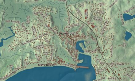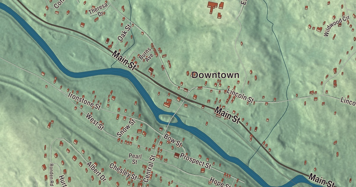
Millville sits on the Blackstone River at the Rhode Island line, close enough to Woonsocket that a Hall of Fame catcher who was born there grew up here. This map prints Main Street, Central Street, Ironstone Street, Thayer Street, Harkness Road and Chestnut Hill Road, with Pratt Pond, Mansfield Pond, Chestnut Hill and the Chestnut Hill Meeting House. Click here to purchase a print of this map for your wall.
Millville is in Worcester County.
KNOWOL made this map in 2026 from public survey data and gave it the look of a small-town page from an old atlas. United States Geological Survey elevation data shapes the hills, and the Census Bureau supplied the streets and the town line. Millville covers just 5.0 square miles, bordered by Blackstone, Mendon, Uxbridge and North Smithfield, Rhode Island, and it had 3,174 people at the 2020 census. The Blackstone River flows through on its way from Worcester to Providence.
From Mendon to Blackstone to Millville
The Nipmuc people lived here before Europeans came. The Town of Millville’s recorded history, in the Secretary of the Commonwealth’s list, dates European settlement to 1662. For centuries Millville belonged to larger towns: first Mendon, then Blackstone, which had itself been carved out of Mendon. Millville was incorporated as a town in 1916, when it divided from Blackstone, and its public library, off Route 122, followed in 1919. The two towns still share a school system. The town remains part of Worcester County today.
The Chestnut Hill Meetinghouse, also called the South Parish Meeting House, stands at the corner of Chestnut and Thayer streets. Built in 1769, it’s a plain two-and-a-half-story frame building whose only fancy touch is the pilasters and pediment around its doors, and inside the meeting room still holds 26 box pews. South Parish met there into the 1800s, and it’s one of a small number of surviving 18th-century meetinghouses with the main door on the long side. It joined the National Register in 1984. Millville also has a historic Friends Meetinghouse and, as part of the Blackstone River Valley National Heritage Corridor, a well-preserved lock from the Blackstone Canal, which linked Worcester and Providence; work on it began in 1825, and it opened three years later.
A Millville catcher
Gabby Hartnett was born in Woonsocket, the eldest of 14 children, and his father moved the family just over the state line to Millville when he took a job at Banigan’s Millville Rubber Shop. Hartnett grew up here and played youth baseball in the Blackstone Valley League before joining the Chicago Cubs in 1922. In 1938 his walk-off home run at Wrigley Field, hit as darkness fell, put the Cubs in first place and became known as the “Homer in the Gloamin’.” When he retired he held the career records for catchers in home runs, runs batted in, hits and doubles, and he was elected to the Baseball Hall of Fame in 1955.
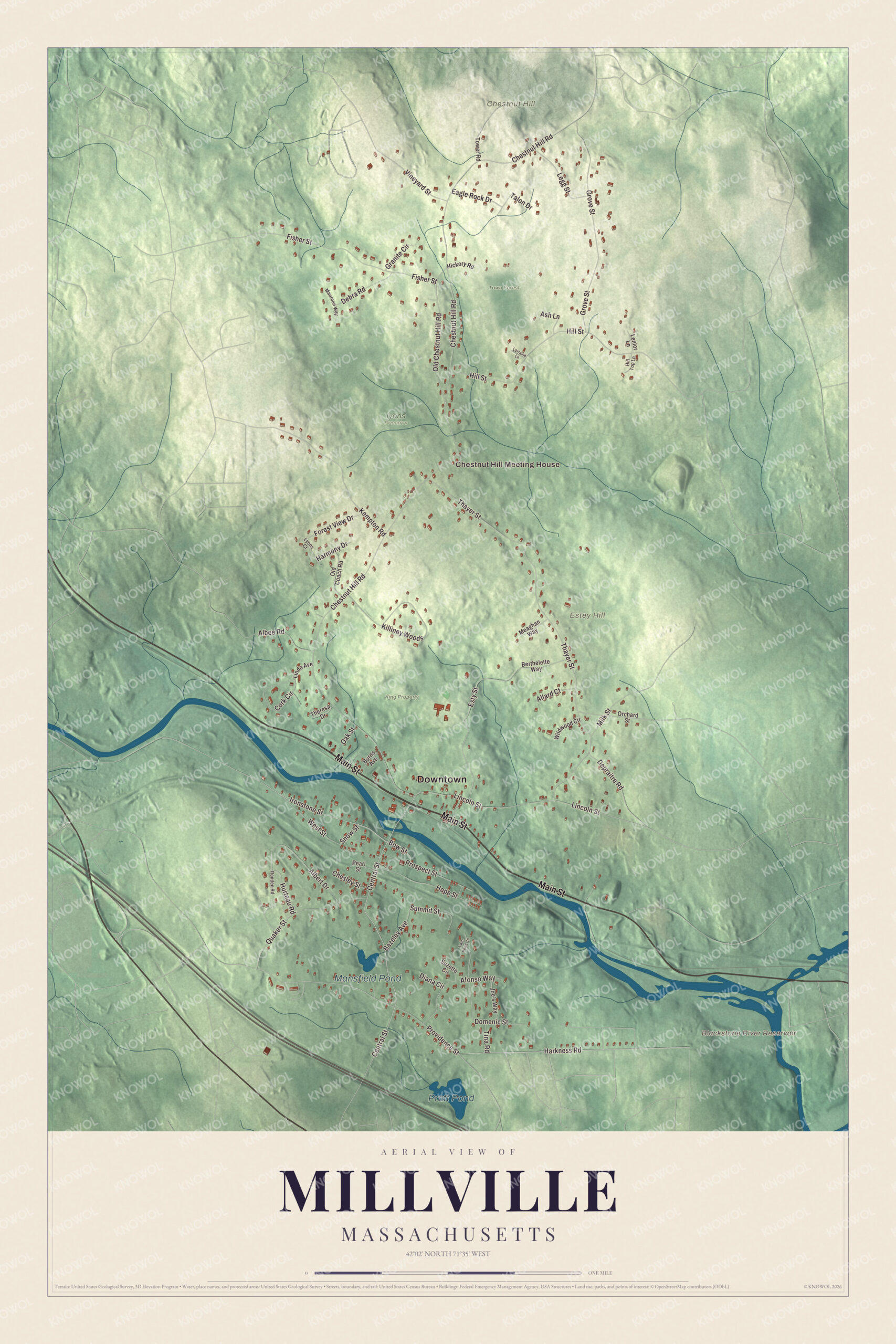
Click to explore a larger preview. The digital watermark does not appear on printed maps.
Names on this map
These names are printed on this map.
Places: Downtown, Chestnut Hill Meeting House, Chestnut Hill, Estey Hill, Blackstone River Reservoir, Pratt Pond, Mansfield Pond, Iyons Preserve, King Property and Town Forest.
Streets and roads: Main Street, Central Street, Ironstone Street, Harkness Road, Chestnut Hill Road, Thayer Street, Lincoln Street, Providence Street, Hill Street, Grove Street, Fisher Street, Kempton Road.
More street names, A to Z
Afonso Way, Albee Road, Albert Drive, Allard Court, Ash Lane, Bazeley Avenue, Berthelette Way, Bow Street, Burns Avenue, Chesley Street, Cork Circle, Debra Road, Depraitre Road, Diana Circle, Domenic Street, Eagle Rock Drive, Esty Street, Forest View Drive, Granite Circle, Harmony Drive, Hickory Road, Hill Top Lane, Hope Street, Hurteau Road, Joe's Way, Killiney Woods, Legg Street, Lenlor Lane, Linda Avenue, Lorraine Lane, Lyons Court, Maureen Way, Meaghan Way, Milk Street, Oak Street, Old Chestnut Hill Road, Old Coach Road, Orchard Street, Pearl Street, Prospect Street, Quaker Street, Ronden Road, Snow Street, Summit Street, Suzette Circle, Talon Drive, Theresa Drive, Tina Road, Tower Road, Twin Pond Circle, Vineyard Street, West Street, Wildwood Circle.
See it on a wall
The Millville map as a framed print. Swipe for more.


Around the map
Start with the Chestnut Hill Meeting House, at Chestnut and Thayer streets. Follow Main Street, Central Street, Ironstone Street, Harkness Road, Chestnut Hill Road and Thayer Street across town. Pratt Pond, Mansfield Pond, King Property, Town Forest, Chestnut Hill, Estey Hill and Blackstone River Reservoir are all printed on the map, the names set right on the artwork.
The Millville map makes a fine addition to an office, library or den, and it can help teach children the geography and history of a small town in the Blackstone Valley. It’s made for people who call Millville home, from Chestnut Hill to Estey Hill, and it shows the town as it looks today. Zoom in on the preview above to explore the details, then click here to get your copy of the Millville, Massachusetts map.

Sources